Unnamed at GR303516, between
Roundtrip time: 8:45
Scrambling
with Mark.
We had been planning an attempt of this mountain ever since
we made the summit of
We did, however, have the good sense to use Lorette’s
descent route to gain the first col between 303516 and Lorette, as opposed to
ascending Lorette’s challenging south ridge (in January!). After wading the
It took us far longer than planned to reach the col (almost 3 hours from the car), but again the scenery was terrific and once at the col, we were rewarded with spectacular views towards Lorette and its connecting ridges. Another slog up to the next highpoint followed, and the ascent route to 303516 finally came into view. Unfortunately, the west wind was fierce on the ridge and the wind chill, bone-chilling. We had to rule out doing anything too technical, even though we had dragged along our usual (over) compliment of climbing gear. It was simply way too cold to be standing around while setting up belay stations and belaying each other.
Nevertheless, we continued on, enjoying the fantastic scenery of the corniced ridge, with a terrific drop-off down the east side. Soon the ridge narrowed. Although the west-facing slopes had been wind-blown free of snow, there was still enough snow on the ridge to render it a fairly serious proposition. Clear of snow, the ridge traverse may have been moderate scrambling with a healthy dose of exposure, but with the snow, wind, and brutally cold temperatures, travel was challenging. We eventually took out the rope and belayed each other across the more exposed and snow-covered sections, but the process was too time-consuming and we had to back down, 500 horizontal and 150 vertical metres shy of the summit. Still, the trip was extremely scenic, the weather clear for the most part, and we both thoroughly enjoyed the route – no summit, but a rewarding and very satisfying day out.
The ascent gully (climber's descent route)
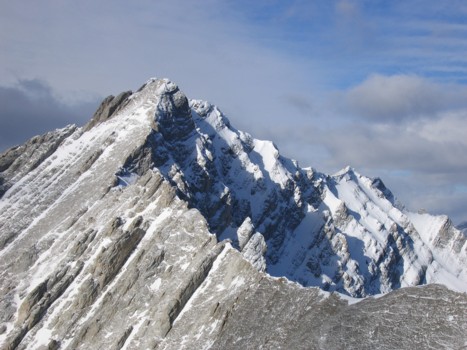
The summit block of Mount Lorette (left)
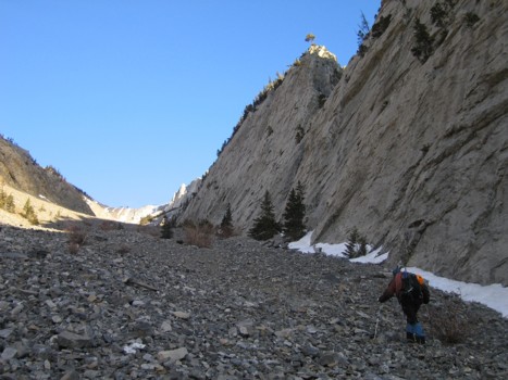
More of the gully; great rock on the right side
Looking towards Lorette again
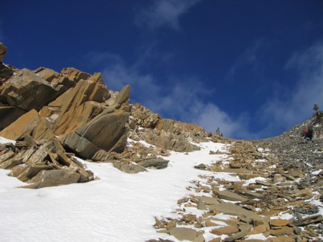
More gully
Same as above
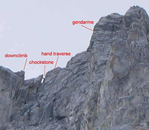
A close-up of the crux section of Mount Lorette, as seen on May 22, 2005 - with the chockstone intact
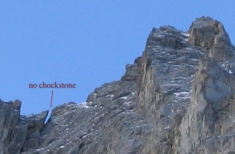
A close-up of the crux section of Mount Lorette as seen on January 29, 2006 - sans chockstone
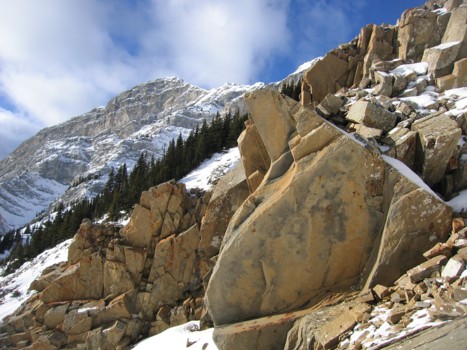
Interesting rock and Mount Lorette behind
The gully again
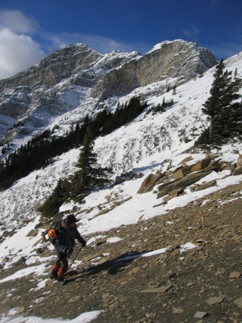
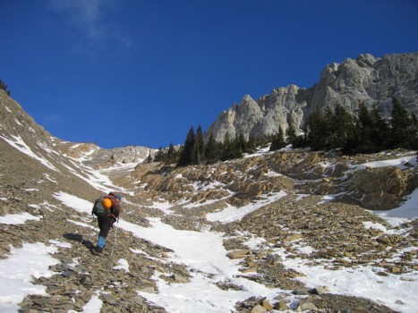
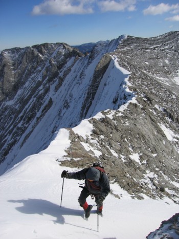
Mark slogs up the final section of the gully
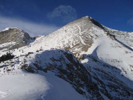
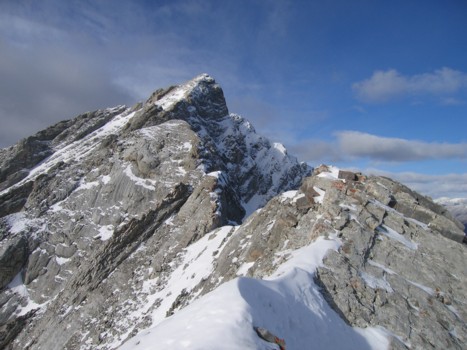
At the col, with the first highpoint to the left
The second highpoint, further north
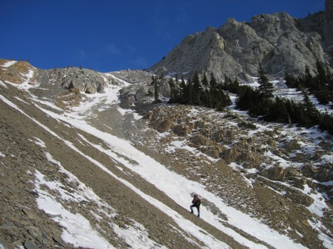
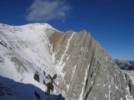
The narrow ridge east of the ascent gully; Wasootch Peak behind, just right of centre
Mary Barclay's Mountain; a terrific early or late season trip
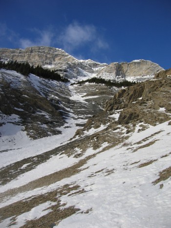
Pleasant snow scenery at the col
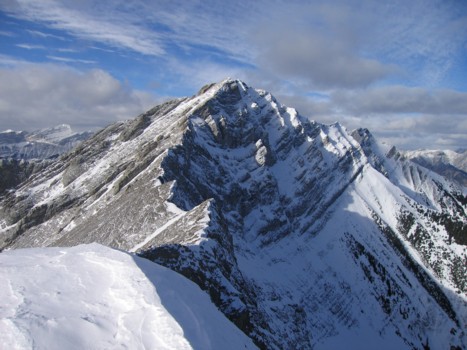
The first highpoint (right) and Lorette (left)
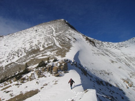
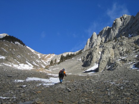
Starting up towards the first highpoint
Mark follows
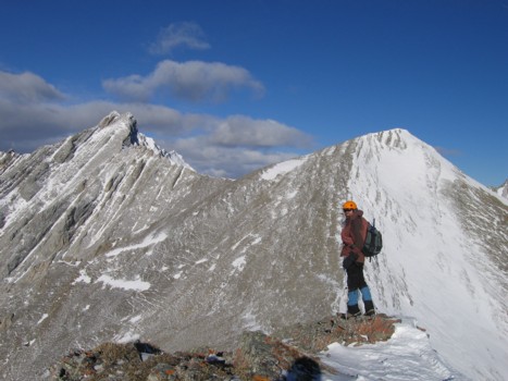
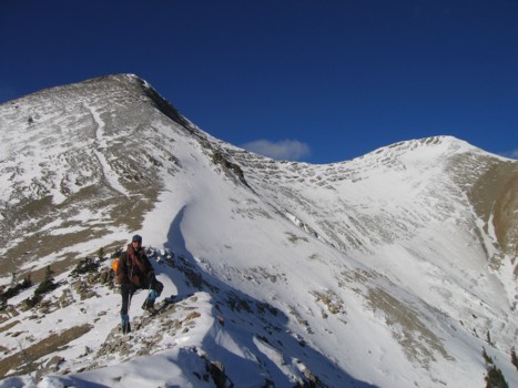
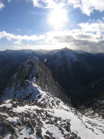
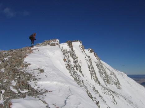
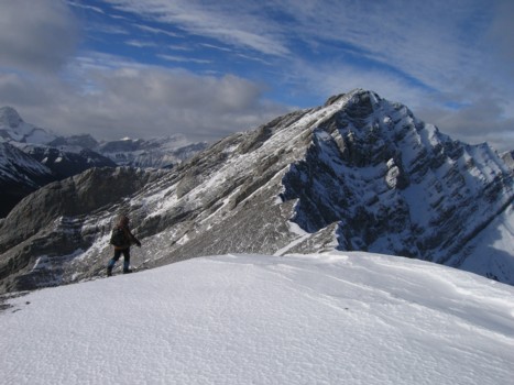
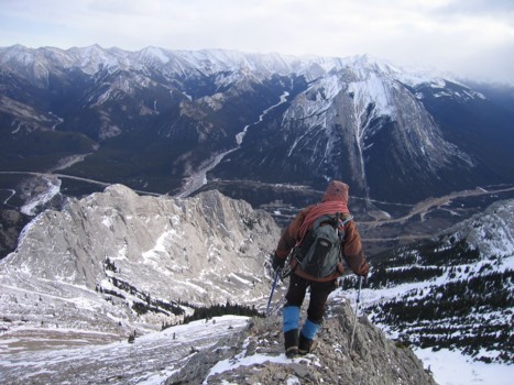
At the first highpoint, with our objective to the left and the connecting ridge
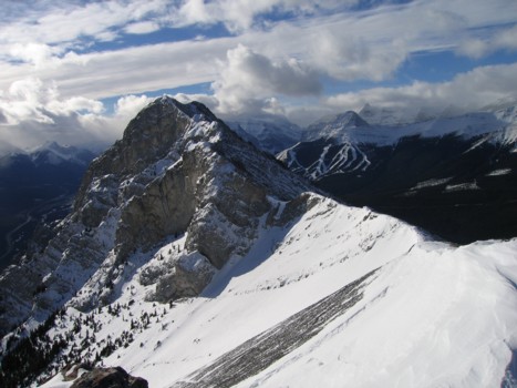
Mount Lorette; just a steep hike to the summit from here
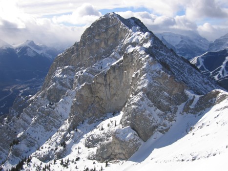
A closer look at Lorette
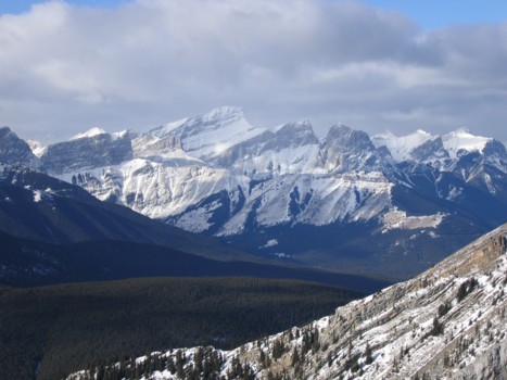
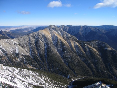
The Three Sisters (centre)
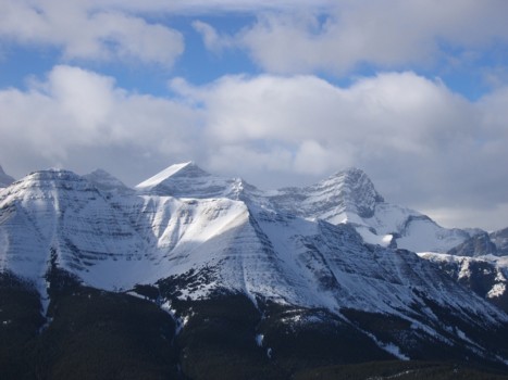
2 of the 4 peaks of Lougheed (background)
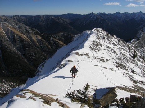
Approaching the second highpoint
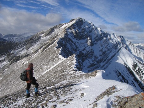
Looking back to the first HP and Lorette
The ridge to the first of the peak double-summit mountain
Same as above
Same as above
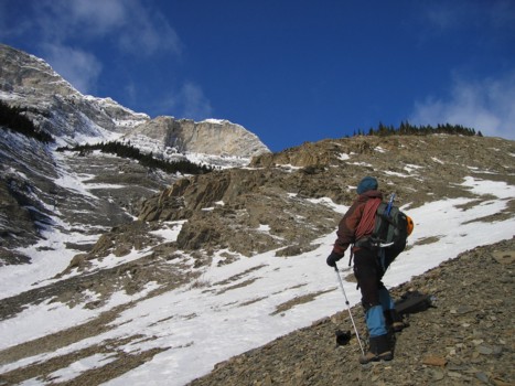
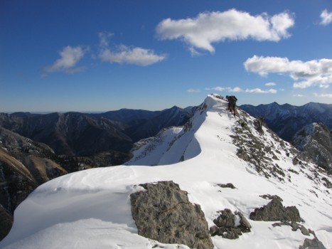
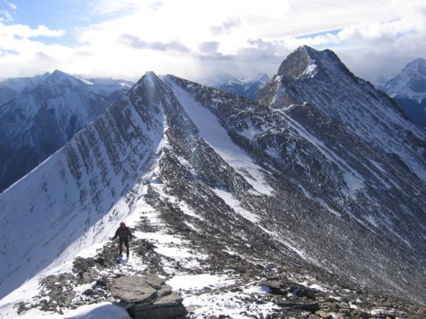
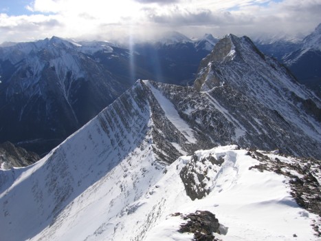
The beautiful ridge to the summit
Lorette again
A very enjoyable ridgewalk
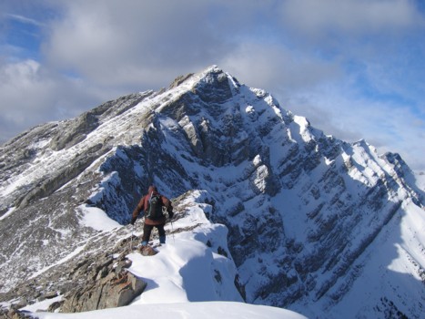
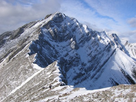
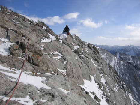
The ridge narrows a little
A fantastic drop-off down the east face
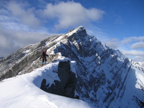
More of the ridge
Coming up the ridge
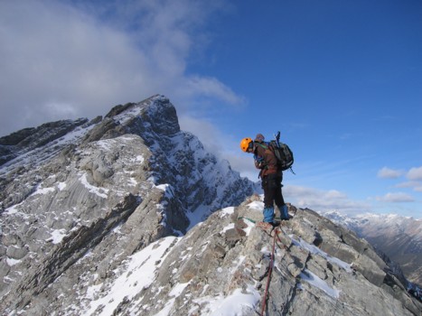
The rope comes out; the terrain was fairly exposed here and there was snow on the ridge
Mark straddles the ridge
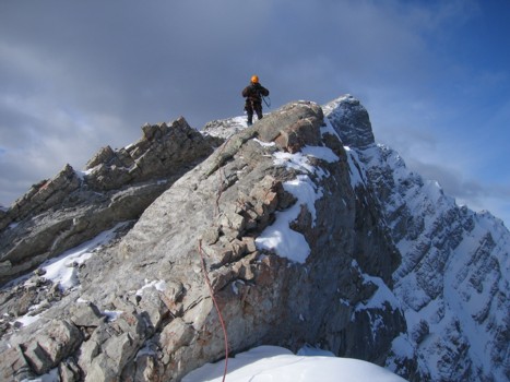
Setting up more protection
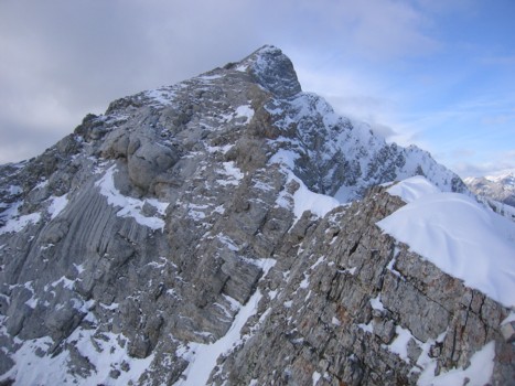
As far as we got; the section to the right was quite exposed and snow -covered
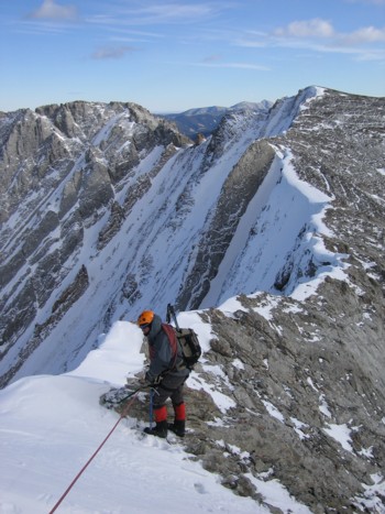
Mark sets up a quick belay
Heading home