Mount Anderson attempt
September 4, 2005
Roundtrip
time: 6:30
Scrambling with Jodi.
After seeing Mount
Anderson from the summit of Blakiston,
earlier this year, I thought that Anderson’s
summit might make a worthwhile objective. Anderson
is one of the higher peaks in the Waterton area and from Blakiston, an ascent
via the south slopes appeared to be only a steep hike. I had also heard that it
was possible to summit Lost Mountain and Mount
Bauerman, as well as Anderson in a single trip and a quick look at
the topo map revealed the trip to be straightforward.
Jodi and I got a relatively late start
(1:30 pm) and so we opted to try only Lost and Anderson – a route that involved
a 5 km hike along Blakiston Creek trail, a slog up to the summit of Lost
Mountain, and then an easy traverse to the top of Anderson (or so the topo map
indicated).
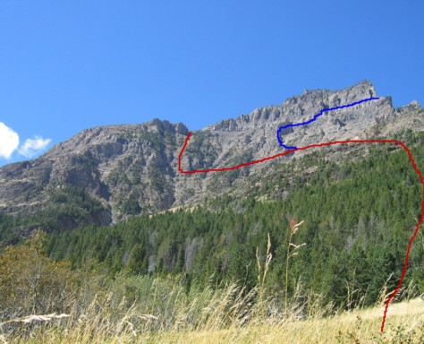
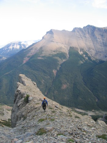
About 2-3 km into the hike, looking up at
the interesting southeast slopes of the mountain, we believed a more direct
route to Anderson’s summit might be possible and so we changed the plan and
headed up. The terrain looked to be very steep near the top, however, we
thought we would be able to traverse ledges and escape to the summit ridge via
several weaknesses in the rockbands.
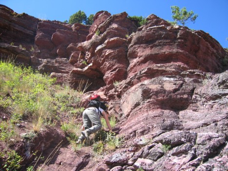
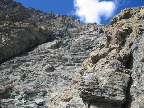
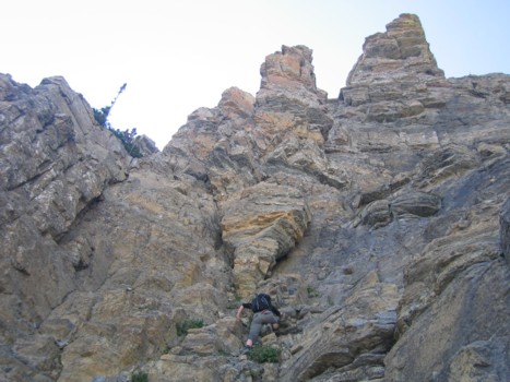
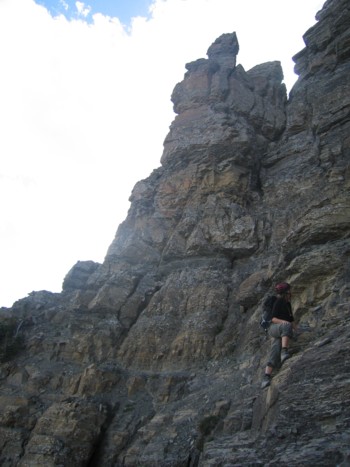
The terrain was interesting right from the
onset, as we ascended a dry water gully, comprised of steppy bands of red and
green argillite. Higher up, we traversed left, looking for the easiest route up
the increasingly steep terrain. Much of the hands-on scrambling was very
enjoyable, even though the rock was often quite loose. I learned a great deal
from observing Jodi climb – she is a far better climber than I and watching her
move effortlessly and gracefully up the steep terrain certainly gave me
something to aspire to.
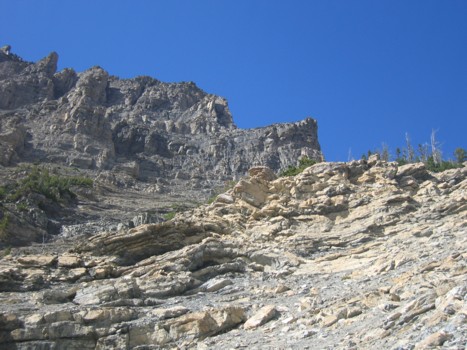
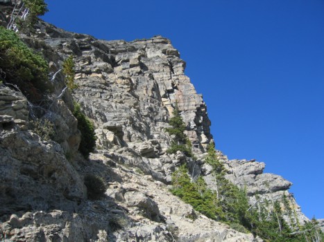
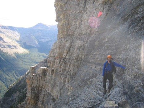
Unfortunately, the higher we got, the more
we were pushed over to the right (southeast) side of the mountain – away from
the easier terrain at the lowpoint and closer to the almost vertical walls of
the mountains east side. We pushed on (up several rockbands that I knew would
present a downclimbing challenge to me), looking for a weakness that might lead
to the summit ridge. Eventually, we did end up at the east side, looking in
amazement to the vertically impressive east face of the mountain. A little more
upward progress was made before we were forced to abandon the attempt, a little
more than 200 vertical metres from the summit. Nevertheless, the scrambling to
that point had been terrific and we were both satisfied with the progress we
had made.
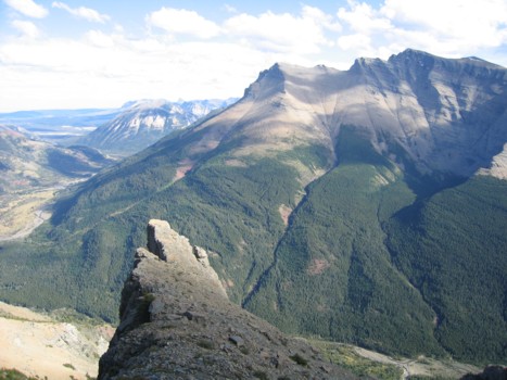
As expected, downclimbing the route was
slow and, at times, quite unnerving. The terrain was often very steep and
exposed. Jodi led the descent and helped me negotiate the downclimbing in a
couple of sections. Once past the rockbands, the remainder of the descent was
easy, highlighted by the incredible beauty of Blakiston Creek’s red and green
rock. A fantastic day of exploration and adventure, even though we didn’t make
the summit.