Lost
Mountain,
Mountain height:
Lost:
2,509 m (8,230 ft)
Bauerman:
2,409 m (7,902 ft)
Elevation gain:
Car to Lost:
1,010 m
Lost to Anderson:
approx. 240 m
Ascent time:
Car to Lost:
3:30
Lost to
Lost to Bauerman: 1:35
Descent time:
Bauerman to car:
Scrambling with Jodi.
Feeling a little short-changed, after the previous days
failure to reach the summit of
Continuing along Blakiston trail, I neglected to notice the clearing indicated
on the map that led straight to the summit of Lost
The summit view was very respectable and as is often the case in the Waterton
area, a vast array of magnificent shades of red, green, gray, and brown coloured
in landscape wonderfully. Especially eye-catching was the red hue of the unnamed
peak between Lost and Bauerman.
At this point, Jodi decided to rest at the summit of
Returning to
In addition to being the third summit of the day, getting to the top of Bauerman
provided the luxury of a wonderfully easy descent route directly down the
mountain's south slopes. A couple of hundred metres of terrific scree surfing,
followed by grassy slopes, and light forest, and we were back on Blakiston
trail, where a 9 km hike took us easily back to the car.
Most of the trip is just steep hiking, with very little scrambling, however, 3
summits, and typical, wonderful Waterton scenery throughout make this a more
than worthwhile trip, that both Jodi and I thoroughly enjoyed.
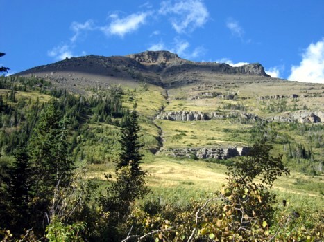
Looking up at one potential ascent route up Lost Mountain; we ended up in dense forest to the left
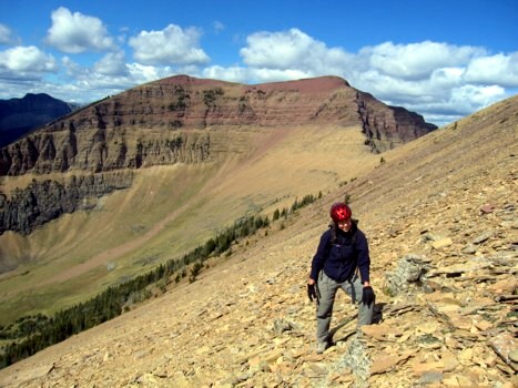
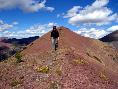
Jodi on the upper scree slopes of Lost Mountain
Jodi makes her way to the summit
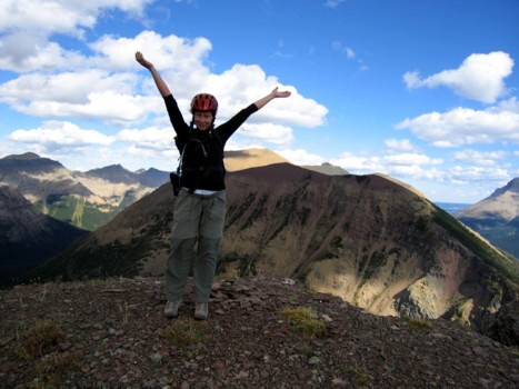
Jodi at the summit, with Mount Anderson behind
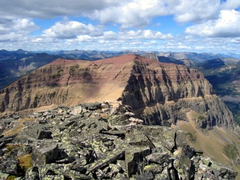
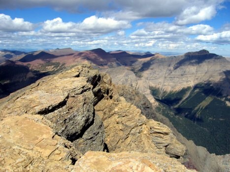
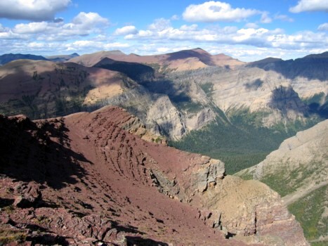
Looking west towards the unnamed peak between Lost and Bauerman
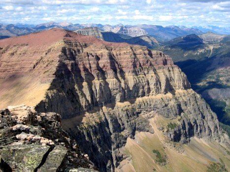
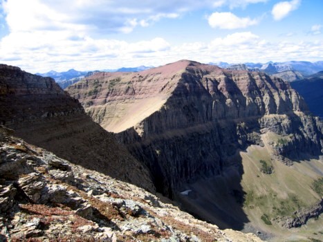
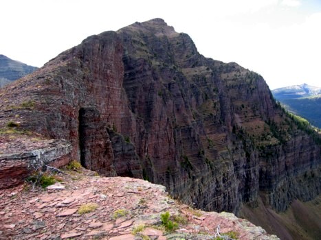
A closer look at the impressive northeast face of unnamed
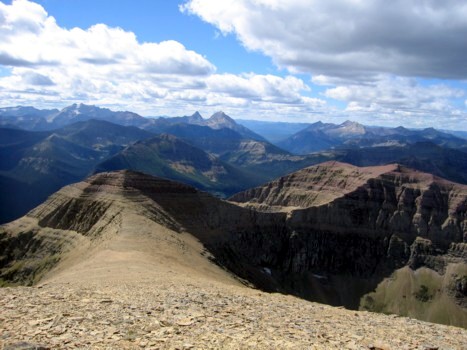
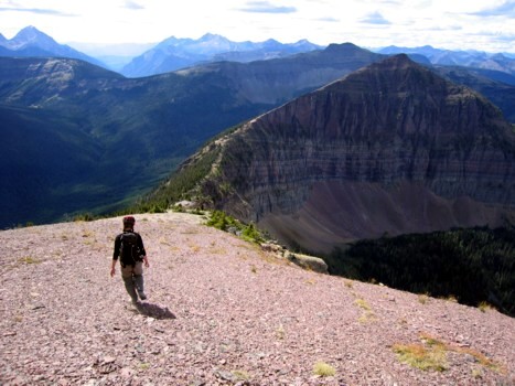
From the easy ascent slopes of Mount Anderson, looking back towards Lost (left) and unnamed (right)
At the summit of Mount Anderson, looking southeast
Same as above, looking to the northeast
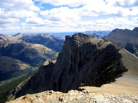
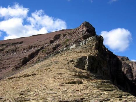
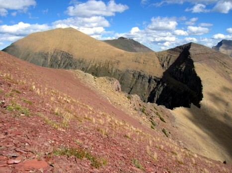
Unnamed and the connecting ridge
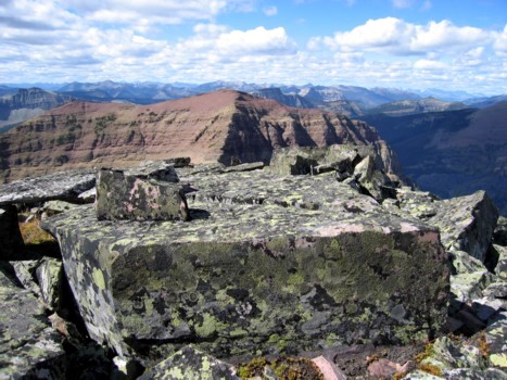
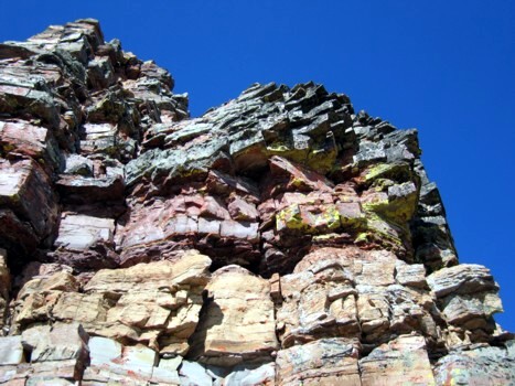
Interesting rectangular blocks of rock, back at the summit of Lost Mountain
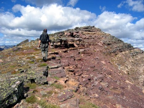
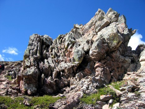
More great rock scenery
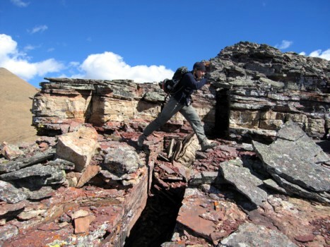
Jodi jumps over a gap in the rock
At the col between Lost and unnamed
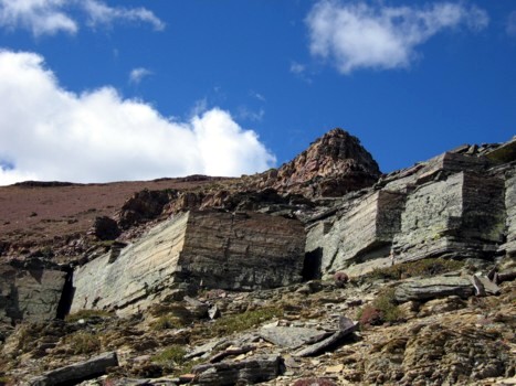
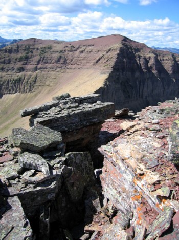
More rectangular rock
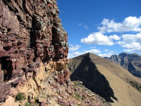
Jodi looks over a precipitous drop on the north side; Lost Mountain behind, Blakiston to the right
More very interesting rock, en route to unnamed
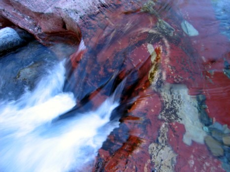
Jodi approaches the most enjoyable and colourful part of the trip
Classic Waterton rock
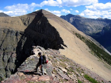
Looking back to Lost
The view to the northeast from the summit of unnamed
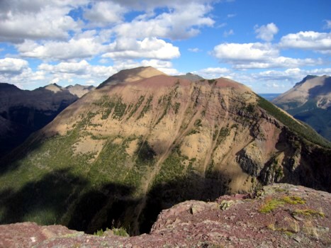
Looking back to Lost (right) and Anderson (left)
Jodi walks the very pleasant ridge from unnamed down to the col
Sane as above; Bauerman at the left
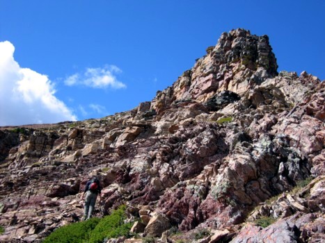
The final ascent of the day to the summit of Bauerman and more impressive north faces
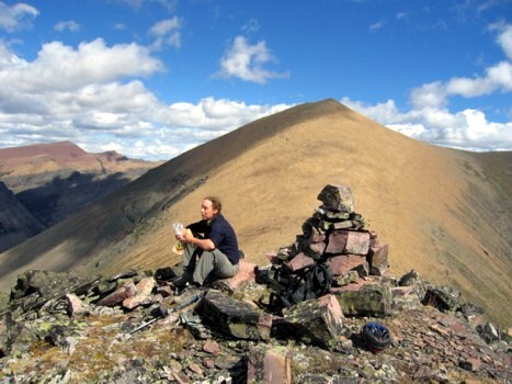
Jodi at the Bauerman summit
Looking back to unnamed and Anderson
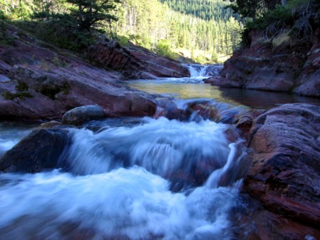
Beautiful Blakiston Creek
Same as above
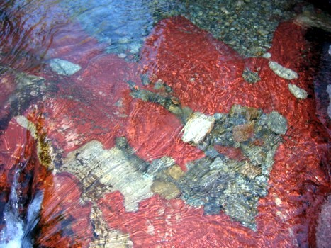
Same as above