The Promised Land and Andy Good Peak II
September 21, 2019
Mountain height: 2662 m
Elevation gain: approximately 1400 m
Roundtrip time: 9:50
Solo scramble.
This trip was a solid reminder of why I have such a “love/not so much
love” relationship with the Crowsnest Pass area {I would never use the word
“hate” in reference to any aspect of the mountains or nature (except ticks – I
hate ticks!)}.
 The difference for me is the sky. When the sky is perfectly blue in the
Crowsnest, the scenery is awesome – the contrasts of the grey rock, blue sky,
white snow, and green vegetation always providing stunning vistas. Such was
very much the case for the previous week’s attempt of Darrah S2. Unfortunately,
because of the general uniform grey colour of the rock, when the sky is
overcast, trips in the Crowsnest area can visually be somewhat drab, when
compared to other areas of the Rockies. And such was the case for most of this day.
The difference for me is the sky. When the sky is perfectly blue in the
Crowsnest, the scenery is awesome – the contrasts of the grey rock, blue sky,
white snow, and green vegetation always providing stunning vistas. Such was
very much the case for the previous week’s attempt of Darrah S2. Unfortunately,
because of the general uniform grey colour of the rock, when the sky is
overcast, trips in the Crowsnest area can visually be somewhat drab, when
compared to other areas of the Rockies. And such was the case for most of this day.
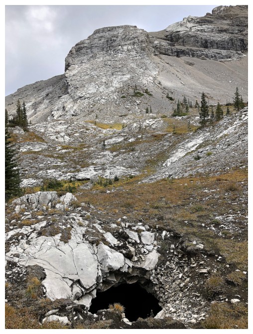
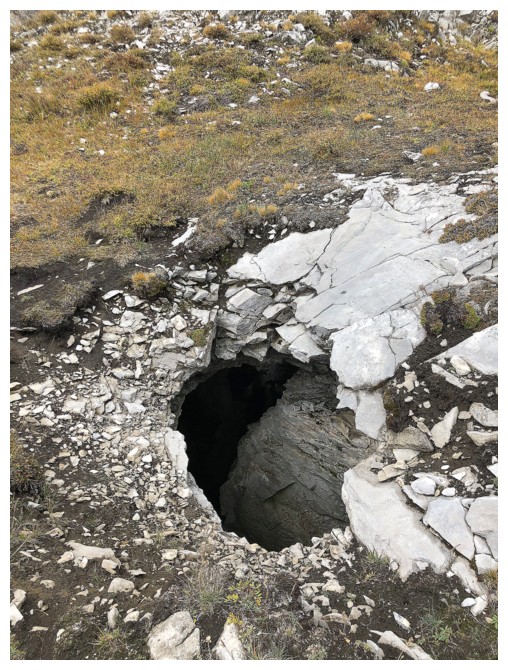
The objective of this trip was to check out The Promised Land hike that
features some of Canada’s most impressive caves and the barren landscape of the
Andy Good Plateau. Learning from a previous ascent of the Ptolemy Creek valley,
this time I brought my bike and hip-waders. They worked perfectly. Throughout
the approach low cloud blanketed the entire ridge of Mount Ptolemy, however,
the forecast was for a mix of sun and cloud, and I was optimistic the clouds
would eventually lift.
Above treeline the terrain before reaching The Promised Land was very
interesting (and again would have been fantastic with a blue sky above). A
steep grind to the pass and then, as advertised in Joey Ambrosi’s excellent
Southern Alberta hiking guide, the fascinating “moonscape” of The Promised Land
on the Andy Good Plateau.
Not to harp on a point I’ve annoyingly made again and again (not only is
this report), but this part of trip REALLY would have been outstanding in
perfect weather conditions. The plateau is a unique environment and begs a few
hours of exploration. Still, even with not so good weather, I did thoroughly enjoyed my stay there, though decided
to cut it short when two things occurred: 1. The clouds ceiling started to drop
even lower than its present already low state; 2. I spotted a potential route
to the col between Andy Good Peak and the unnamed outlier southwest of Good.
This would allow me to descend via Ptolemy Creek instead of returning the same
way I came in.
 Traversing over to the col turned out to be straightforward. The usual
mountain dilemma reared its head once there. Raff had ascended Andy Good Peak
via the mountain’s southwest ridge and reported it to be a much easier route
than the north ridge I ascended back in 2008. The weather sucked and visibility
was approaching nil, zapping most of my motivation to go up. However, I was
intrigued enough with this route to give it a go, even if there would be no
view at the summit.
Traversing over to the col turned out to be straightforward. The usual
mountain dilemma reared its head once there. Raff had ascended Andy Good Peak
via the mountain’s southwest ridge and reported it to be a much easier route
than the north ridge I ascended back in 2008. The weather sucked and visibility
was approaching nil, zapping most of my motivation to go up. However, I was
intrigued enough with this route to give it a go, even if there would be no
view at the summit.
The southwest ridge was great, consisting of generally gentle scrambling terrain
with a few steeper sections of solid slab – definitely less intense than the
difficult north ridge. However, an almost non-existent summit view curtailed my
stay at the top and after 10 minutes I made my way back down to the col. Descending
from the col into the Ptolemy Creek valley was also surprisingly easy.
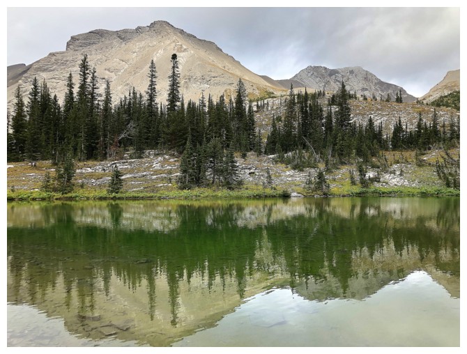
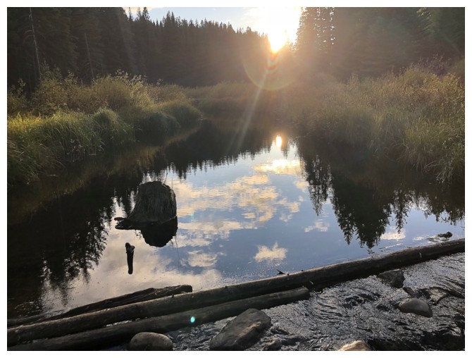
Perhaps the best part of the day was a satisfying visit to the shallow
tarn near the head of the valley. Unlike last week’s muddy brown tarn, this one
boasted crystal-clear water, with a green algae covered bottom – very nice! The
remainder of the descent down Ptolemy Creek unfolded with ease, the grade of
the Ptolemy Creek trail a welcome reprieve from the much steeper Promised Land
trail.
Not the clear skies I would have liked, but a very worthwhile excursion
into a unique and sometimes tortured landscape. For those wanting to reach the
summit of Andy Good without having to ascend the very steep and exposed slabs
on the north side of the mountain, I would highly recommend following the Andy
Good Basin trail to the col southwest of Andy Good and then ascending the southwest ridge.
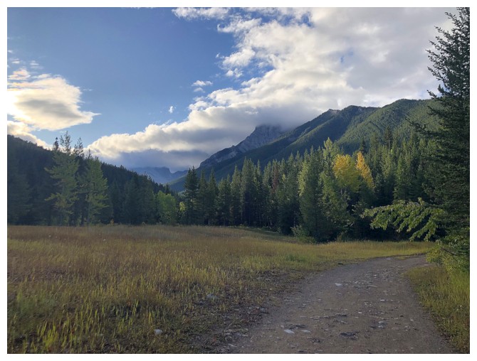
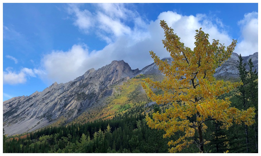
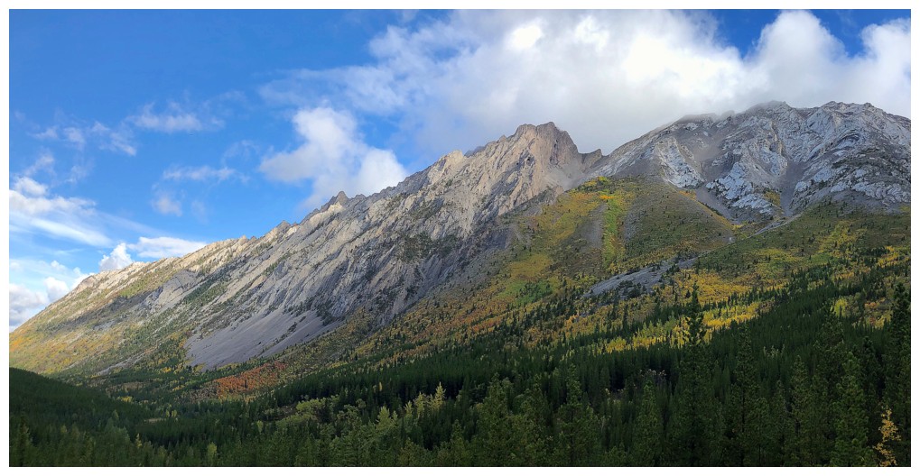
The weather looked okay near the start of the trip
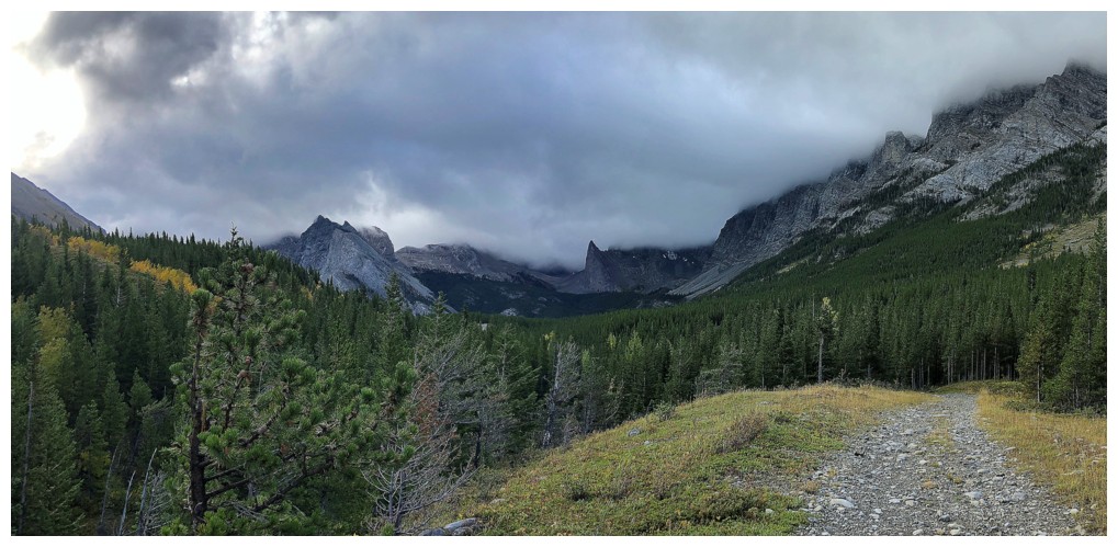
And then it didn't look so "okay"
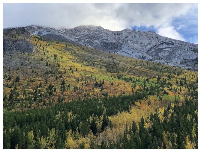
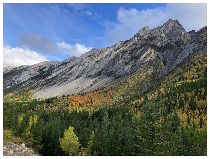
The Fall colours did look good though
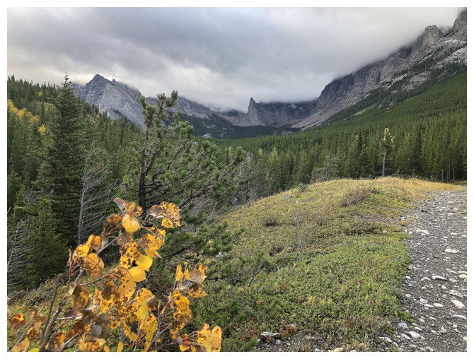
The weather to the west was generally good, which gave me hope it would clear to the east
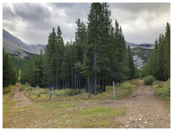
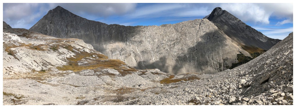
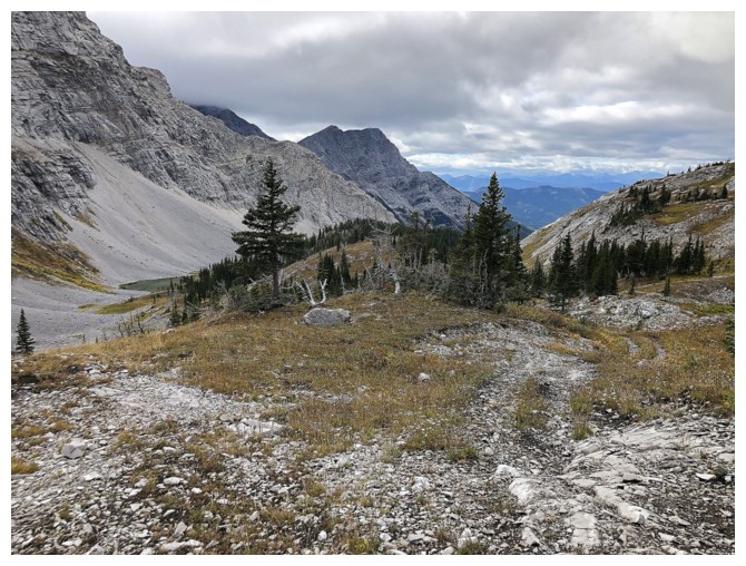
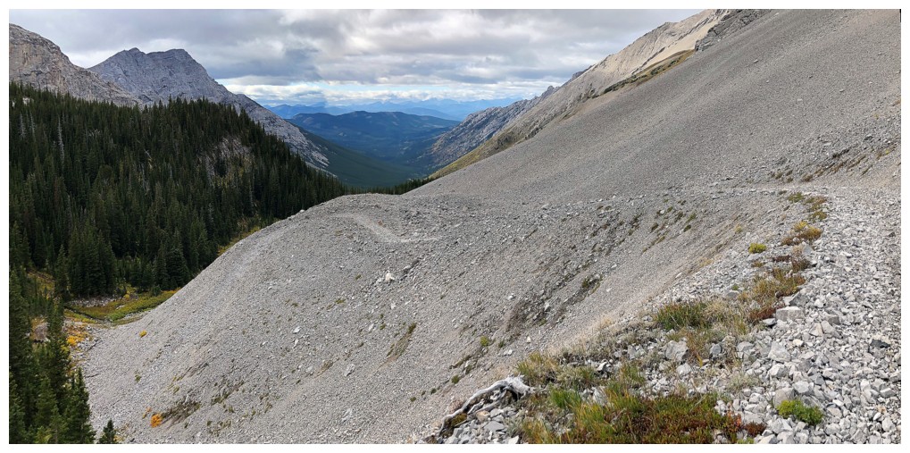
The major intersection of the trip. Right goes to The Promised Land, left goes to the Andy Good Basin (Ptolemy Creek).
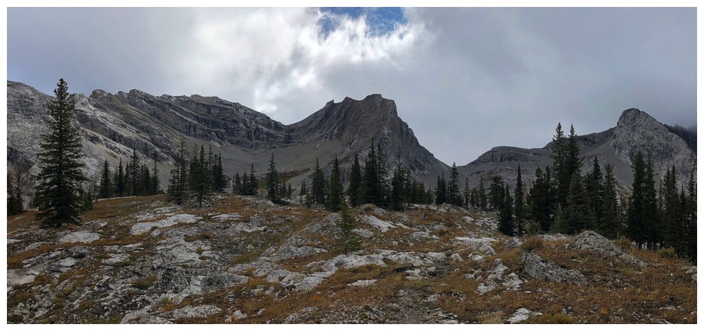
The route to The Promised Land lies to the right of the highpoint in the centre
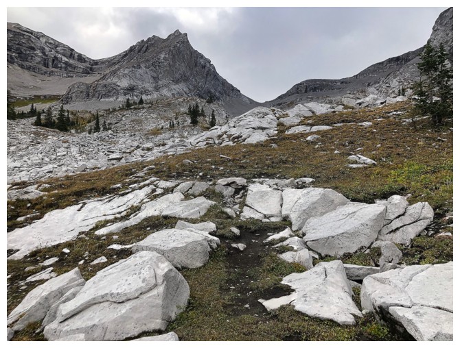
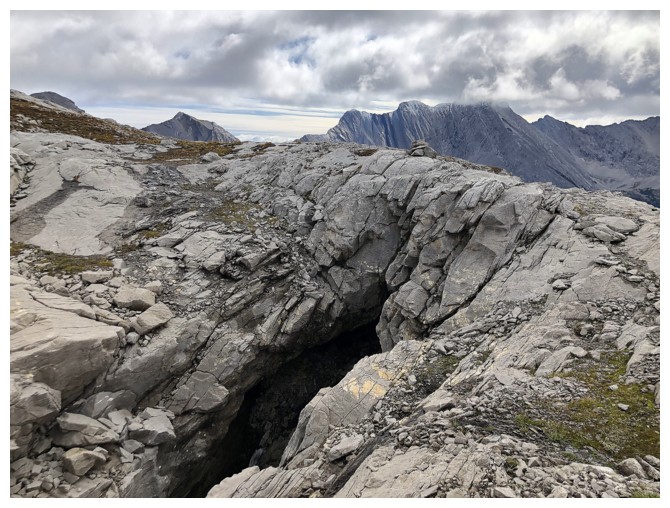
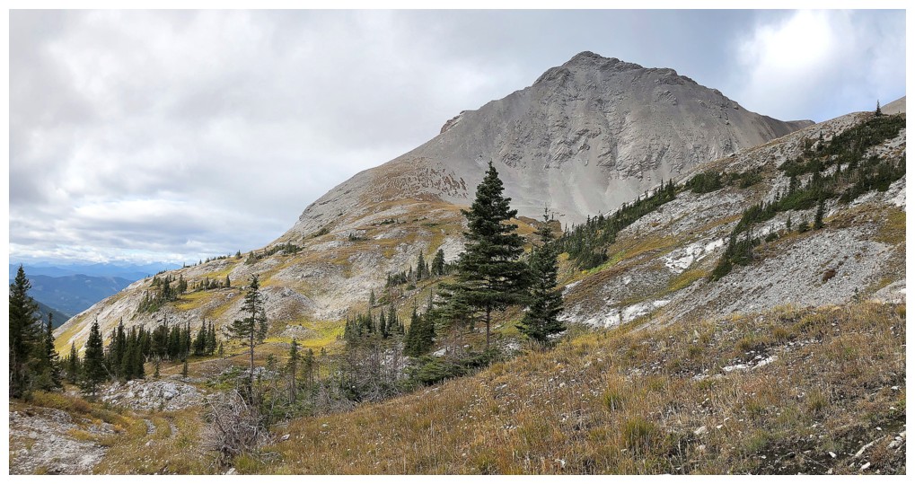
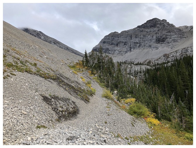
Great terrain before a rubble slog to the col
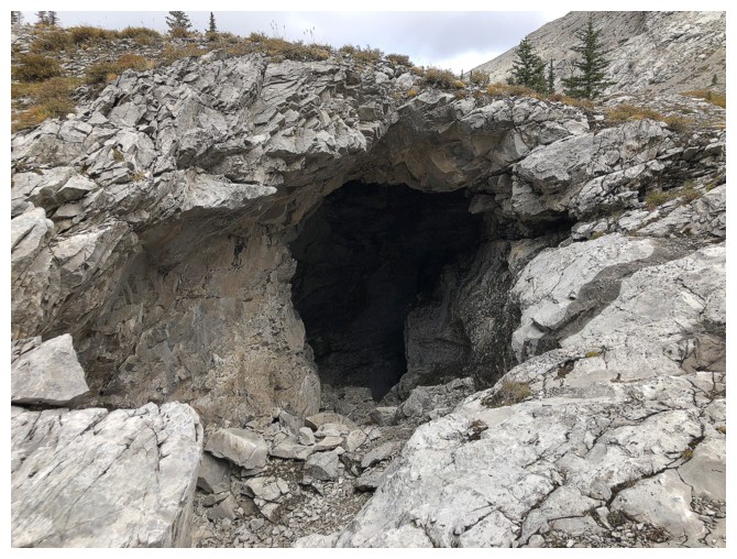
And lots of caves
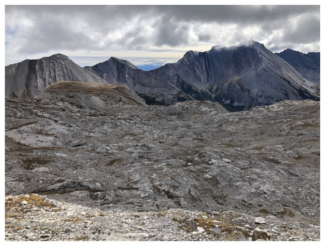
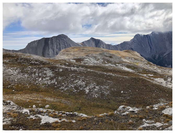
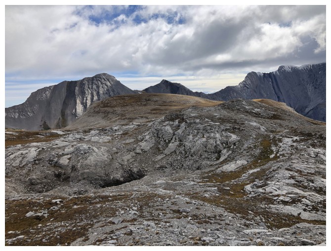
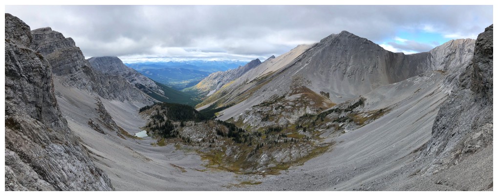
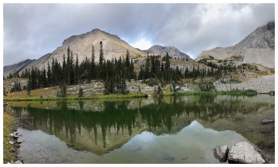
At the col, looking over the Andy Good Plateau
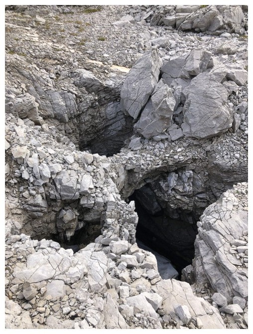
Lots of caves up here too
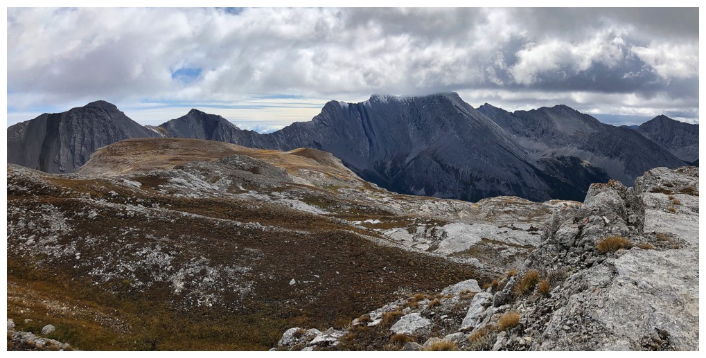
In the general area the unnamed peak just right of centre is the second only to Ptolemy in height
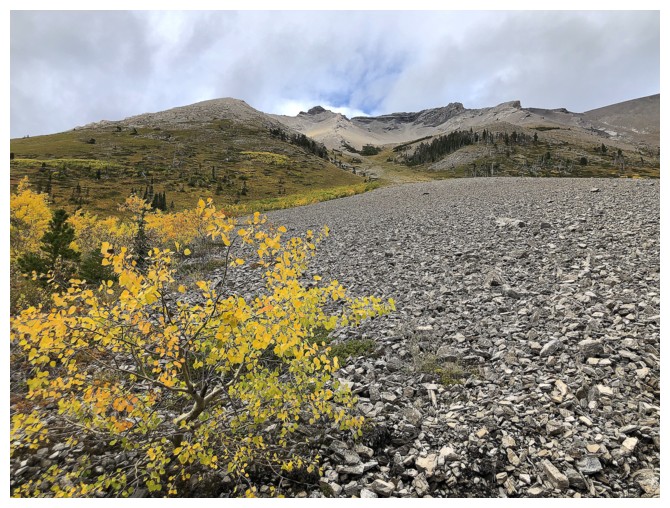
Heading to the grassy highpoint of the plateau
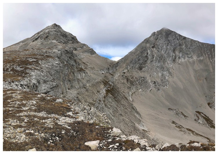
The outlier southwest of Andy Good, Andy Good Peak, and Mount Coulthard (far right)
The only decent view of Coulthard before the clouds descended
The connecting ridge from Andy Good to Coulthard is a fun, but exposed, slabby scramble
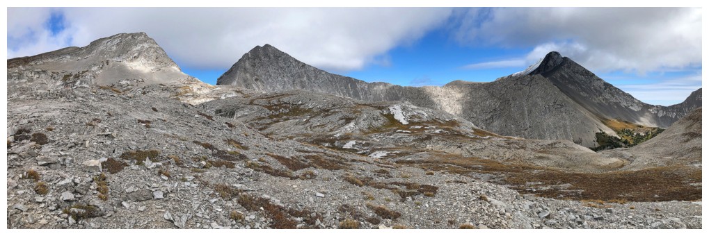
The route to the col goes up the left a little then straight across
The southwest ridge of Andy Good looks very easy from the col, but it is steeper than it appears
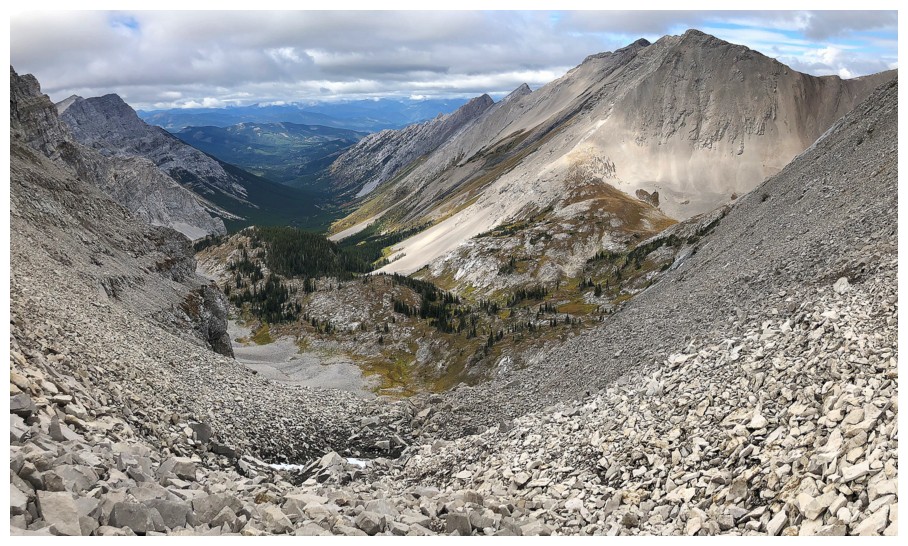
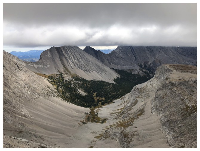
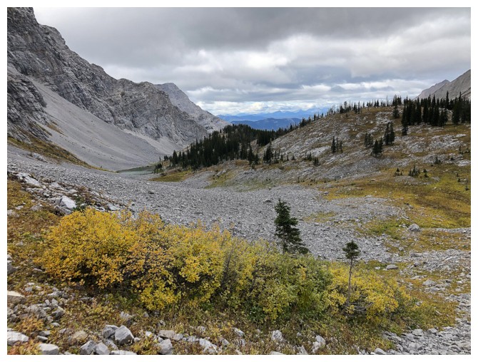
Looking down the Ptolemy Creek valley
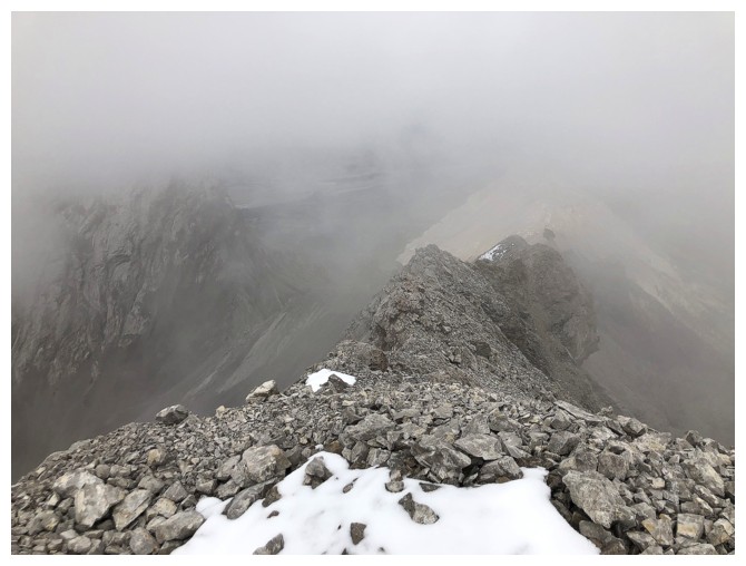
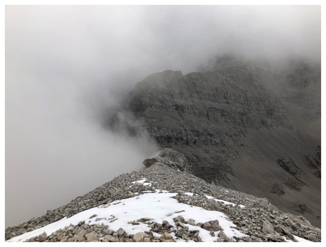
The cloud ceiling lowers even more over the unnamed peak
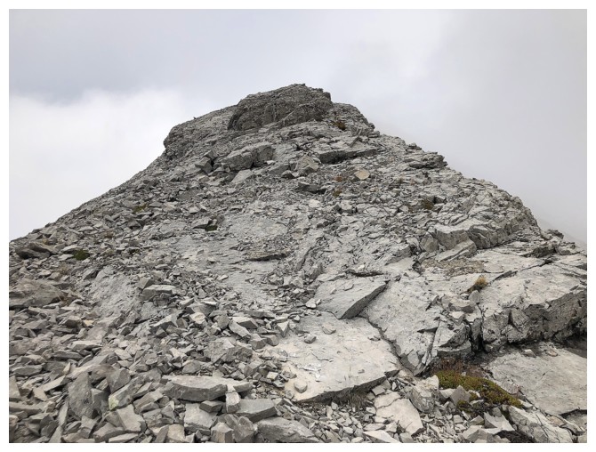
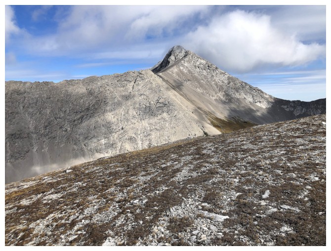
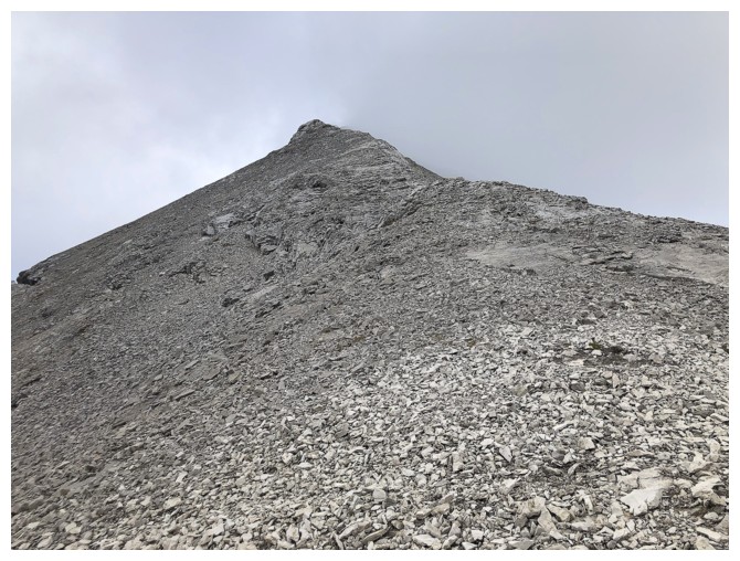
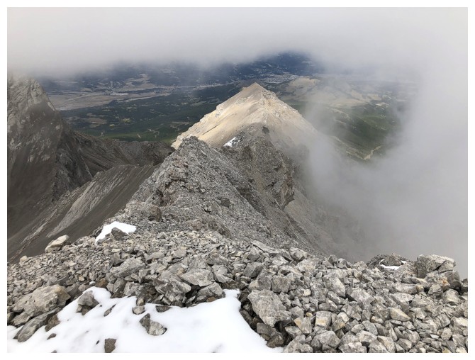
Typical terrain on the ridge
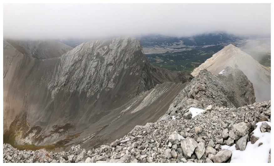
Summit view to the north
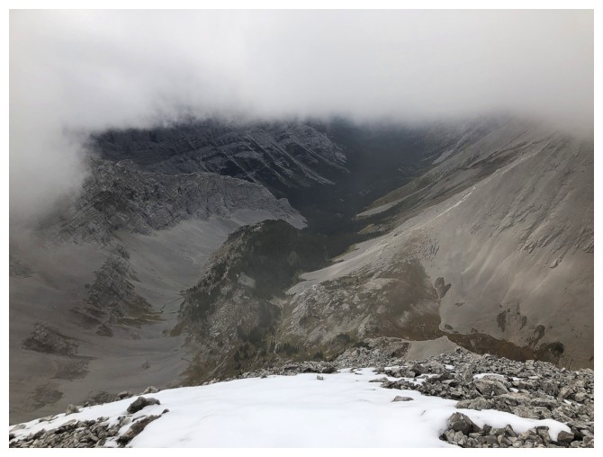
Summit view to the west
The outlier too is now in the clouds
Brief glimpse of clouds swirling around Mount McLaren
Mount Parrish at the left also makes a brief appearance (one of the scariest routes I've ever done)
Getting ready to descend into the Ptolemy Creek valley
Heading for the tarn at the left
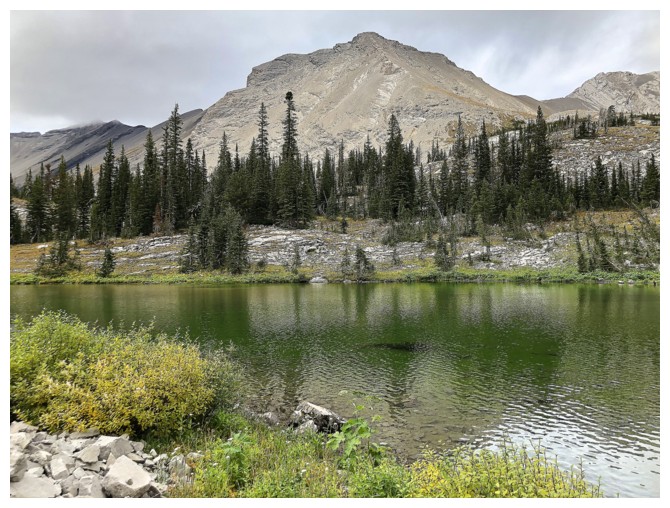
The tarn and the western outlier of Parrish
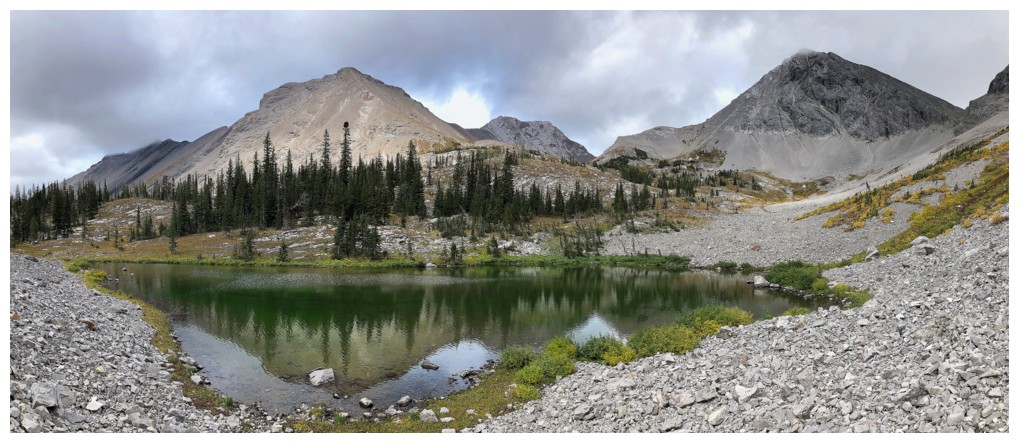
Same as above with Andy Good at the right
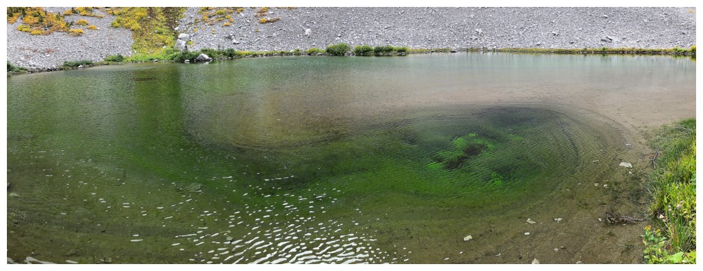
The algae in the tarn that gave it such a great colour
Decided to backtrack to see where the actual descent trail ends. It goes very far up the valley before petering out here.
The western outlier of Parrish looks quite inviting
The upper part of the trail carves its way through scree slopes
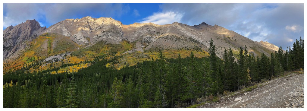
Finally the clouds clear over of the numerous highpoints along Mount Ptolemy's northwest ridge
Looking up the route to Chinook Peak
The long ridge that is home to Sentry Peak, "Ostracized Peak", and Chinook Peak
Ostracized Peak looks like a very worthwhile objective
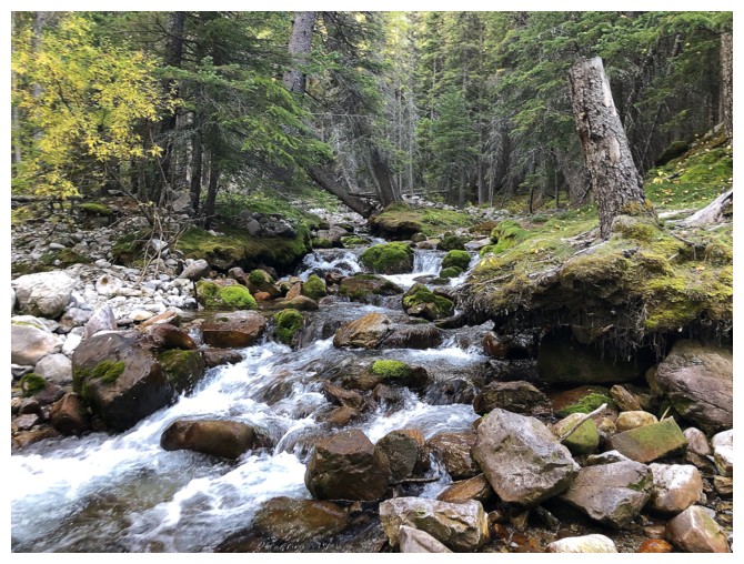
Pleasant stream scenery while negotiating the eight crossings of Ptolemy Creek
The first creek crossing, right by the parking area. Appropriate that the clouds had now lifted!
The End