Andy Good Peak and Mount Coulthard
Mountain height:
Andy Good 2662 m
Coulthard 2634 m
Elevation gain:
To Andy Good 640 m
Traverse to Coulthard 240 loss, 210 gain
Ascent time:
To Andy Good 5:05
Traverse to Coulthard 2:00
Descent time: 2:15
Solo scramble.
 Inspired by Bob Spirko’s
trips and those of the Southern
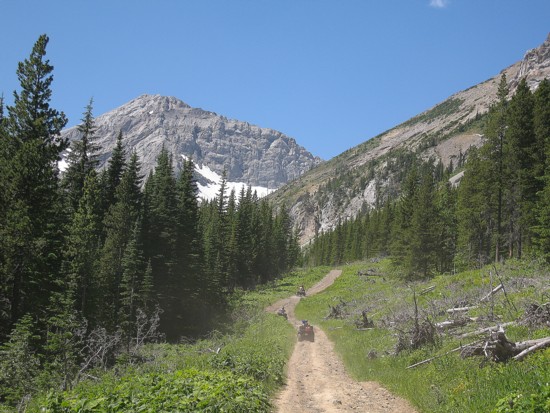
Scramblers into this area of Crowsnest, I set out to see which of the
peaks
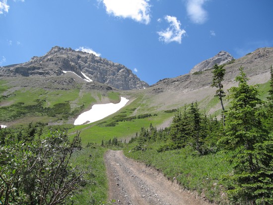
could be scrambled up, via North York Creek. The plan for day 1 was to
gain the
col between Andy Good and Parrish and attempt both mountains. Gaining
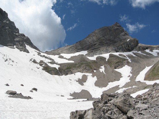
the col
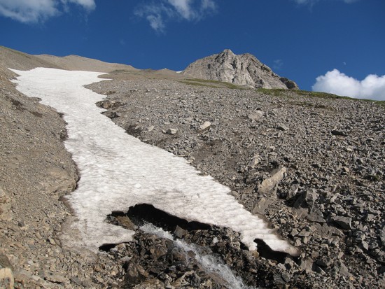
was not terribly difficult, however, crampons were mandatory to ascend
the hard
snow.
Inspired by Bob Spirko’s
trips and those of the Southern
Scramblers into this area of Crowsnest, I set out to see which of the
peaks
could be scrambled up, via North York Creek. The plan for day 1 was to
gain the
col between Andy Good and Parrish and attempt both mountains. Gaining
the col
was not terribly difficult, however, crampons were mandatory to ascend
the hard
snow.
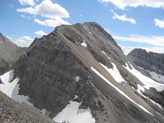
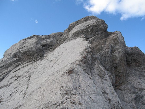
 From the col things didn’t
look promising in either
direction. The south ridge of Parrish looked to be far too steep and
the north
ridge of Andy Good a mess of near vertical pinnacles. I opted to try
Parrish
first, but was forced to back down when I reached steep, slabby terrain
that
was not in the realm of scrambling.
From the col things didn’t
look promising in either
direction. The south ridge of Parrish looked to be far too steep and
the north
ridge of Andy Good a mess of near vertical pinnacles. I opted to try
Parrish
first, but was forced to back down when I reached steep, slabby terrain
that
was not in the realm of scrambling.
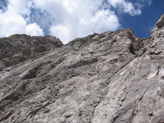
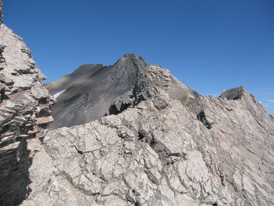
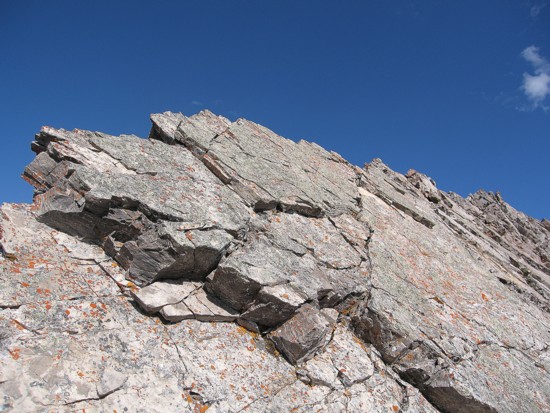
Returning to the col I was able to
scramble up the north
ridge of Andy Good by circumventing the pinnacle on the right side,
then
ascending slabs to the ridge and then following the ridge to the
summit. Right
before the summit the ridge narrowed to an alarming degree.
 Fortunately, there
was a route around the narrowing, though a somewhat exposed route. The
summit
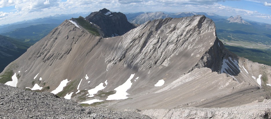
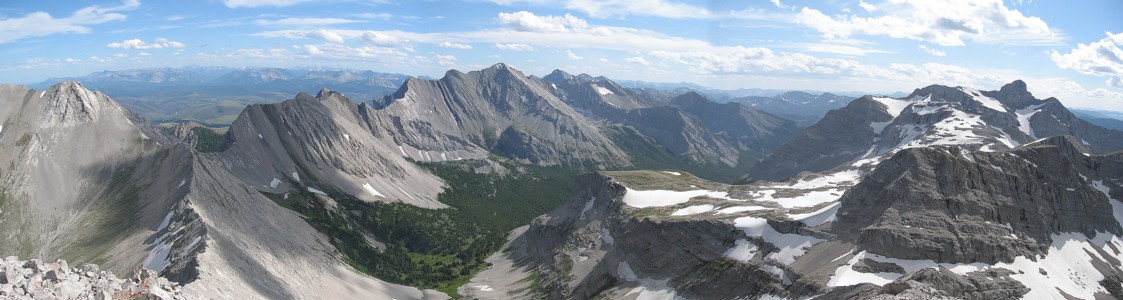
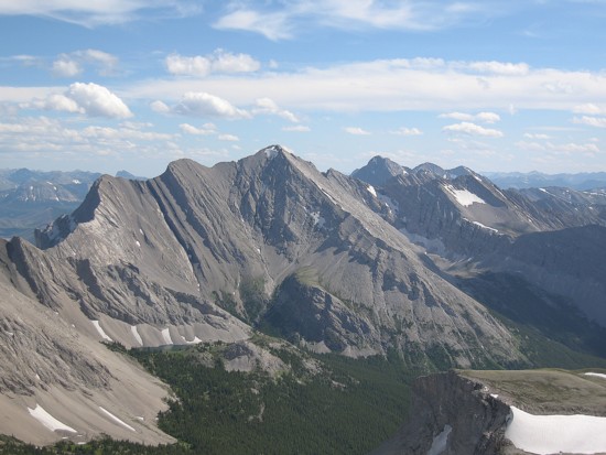
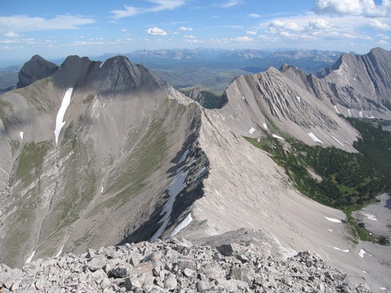
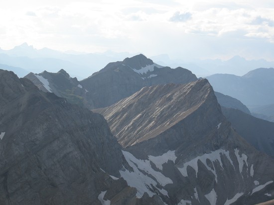
vista was very impressive, highlighted by great views of Coulthard,
Parrish,
Chinook, Ptolemy and McGladrey.
Fortunately, there
was a route around the narrowing, though a somewhat exposed route. The
summit
vista was very impressive, highlighted by great views of Coulthard,
Parrish,
Chinook, Ptolemy and McGladrey.
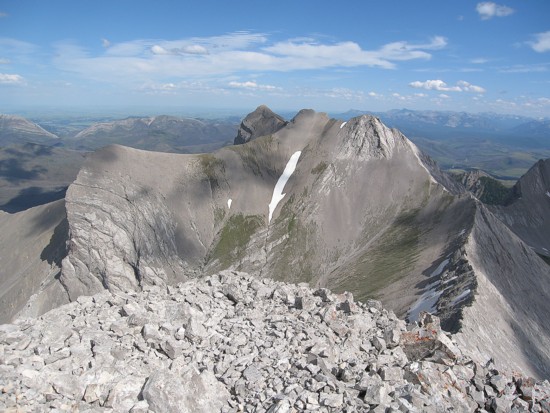
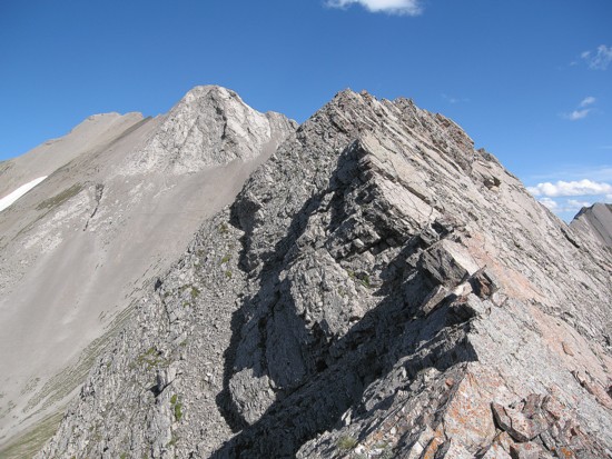
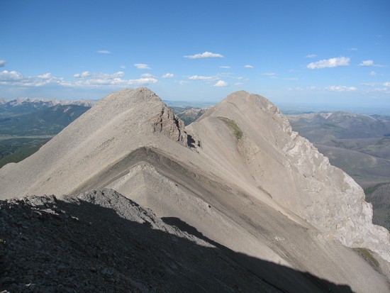
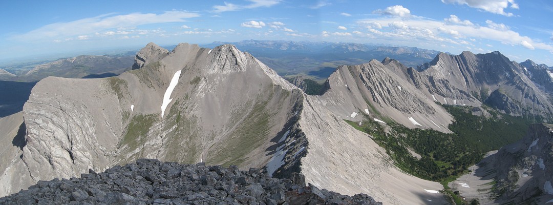
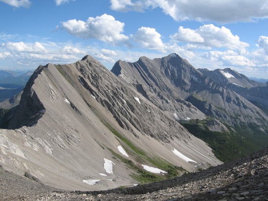
With time and energy levels still on my side, I decided to see if it was possible to descend the north ridge of Andy Good and traverse the ridge to Coulthard. Descending the ridge was easy. The traverse was not. It was replete with exposed scrambling on very interesting terrain. Good thing I brought along my approach shoes – excellent for slabby terrain.
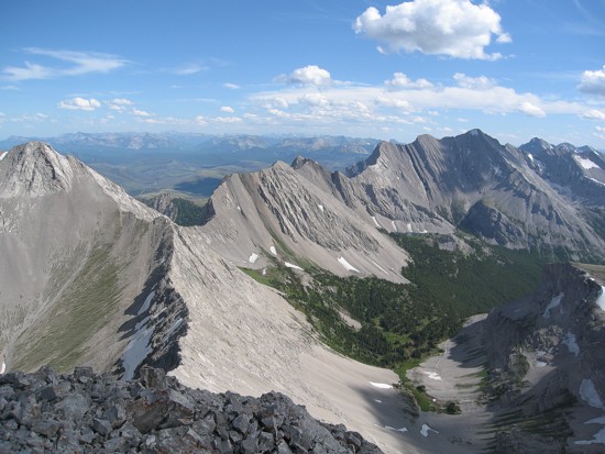
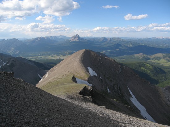
There appeared to be easy routes to the three summits of Coulthard, however, I wanted to see if the southwest ridge would go. It did, but again on exposed slabby terrain, where approach shoes were a must. Traversing the remaining summits to the true summit (the furthest east) was quick and easy. The descent down scree and grassy slopes was also very easy and stress-free - a nice way to end a productive day.