Bellevue Hill – July 14, 2006
Mountain height:
2112 m
Elevation gain: 750
m
Ascent time:
2:45
Descent time:
1:05
Solo scramble.
Just because it only earns the
title of “Hill”, doesn’t mean it’s not worth ascending. This is
certainly the case with diminutive Bellevue Hill, on the edge on
Once on the ridge, the plod to the summit was a little anti-climatic, but the summit view – an interesting combination of grassy, rolling hills and small lakes to the east and beautiful mountains to the south and west – was quite pleasant. For descent, I went directly down the south ridge to the road and then back to my car – a quick and easy escape.
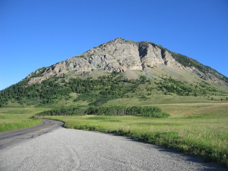
Bellevue Hill, as seen from Red Rock Canyon Parkway
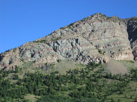
The east face; the route zig-zags towards the major gully on the far right
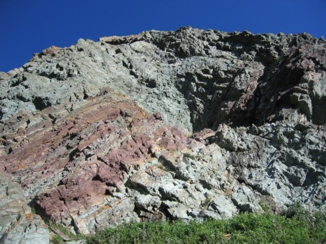
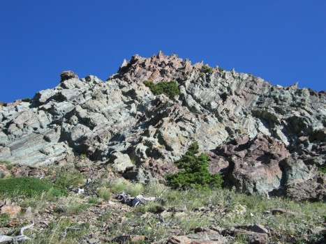
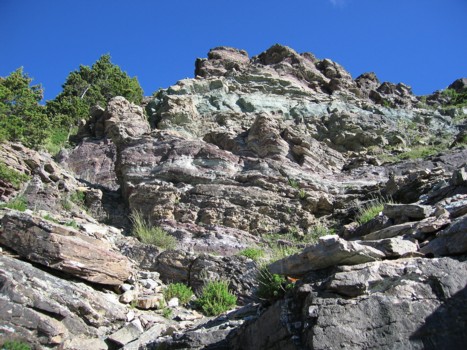
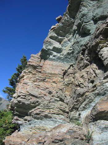
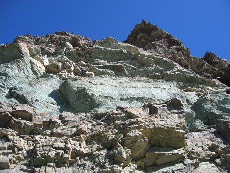
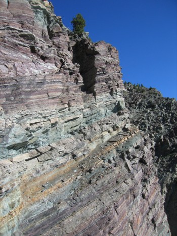
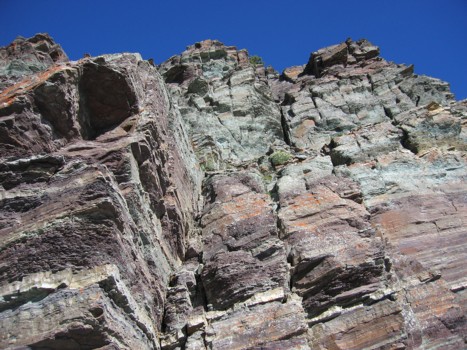
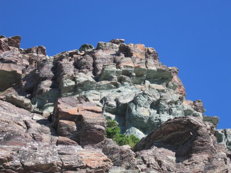
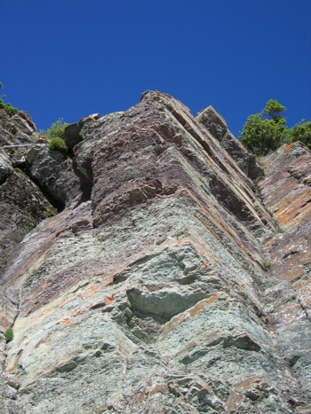
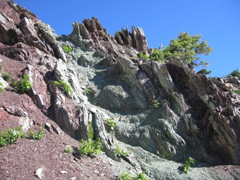
The following photos are rock scenery of the east face:
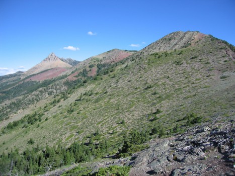
On the ridge, with the remainder of the ridgewalk to the summit (not visible); Mount Galwey at far left
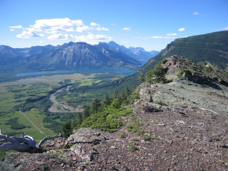
Looking south to Waterton Lake
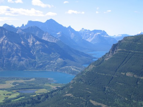
A closer look; Mount Cleveland dominates
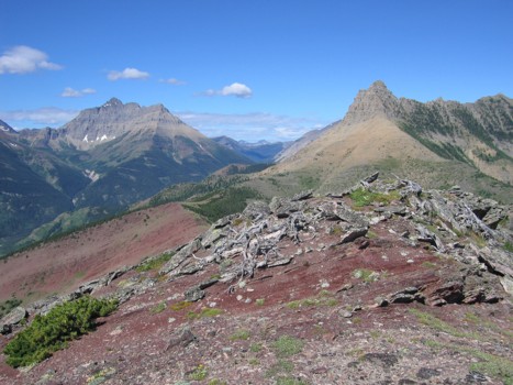
Approaching the summit; Mount Blakiston (left) and Galwey (right)

Mount Blakiston