Blacksmith Ridge
December 20, 2008
Mountain height: 2408
m
Total elevation gain: approx.
600 m
Roundtrip time: 5:35
Snowshoeing with Mark.
On
what was guaranteed to be a “chilly” day, to say the least, finding something
short was the order of the day. We drove around for a little while and then
settled on this treed ridge, southeast of Mount Smith-Dorrien and northeast of
Mount Black Prince (hence the creatively devoid name of “Blacksmith Ridge”).
Although “Hero Nob” stands immediately to the north, I didn’t think we’d have
enough time and energy to complete that ascent.
With
snowshoes and multiple layers of the clothing we set out in temperatures
around the minus 30 degrees Celsius mark. Finding the ascent drainage was more
difficult than expected, but we eventually arrived there and followed it west
and then south. Thankfully, the valley we were in was sheltered from the wind
and even though the air temperature got colder as we gained elevation, the
conditions were quite tolerable. Mark graciously broke trail, through the deep
and unconsolidated snow, for most of the ascent, as I was having difficulty due
to a cold.
When
the terrain started to open up, we took a route away from the ridge where we
had originally intended to go. The bushwhacking in that direction didn’t look
at all appealing. This turned out to be a good decision, though we still
suffered through some grueling side-sloping through steep, treed terrain.
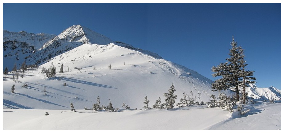
Finally, an open slope appeared and Mark led us, with some effort, to the ridge
and a breath-taking view. Obviously, as a low ridge between two much higher
ridges (Kent Ridge
to the east and the Mount
Smith-Dorrien to Mount
Black Prince ridge immediately west), the view was limited, however, the
outlier above was outstanding. It provided more than enough visual
entertainment. We started up the outlier and stopped when the terrain became
too steep. Views of the Opal
Range and Highwood area
were also fantastic. Though a light one, the wind here was significant enough
to make our visit a short one and we quickly started down.
For
the return trip we descended to our intended objective but couldn’t find any
spots on the ridge without trees blocking all the views. We cut our losses and
enjoyed a very easy descent back to our tracks and then out to the road.
A
chilly, but thoroughly enjoyable trip.
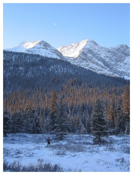
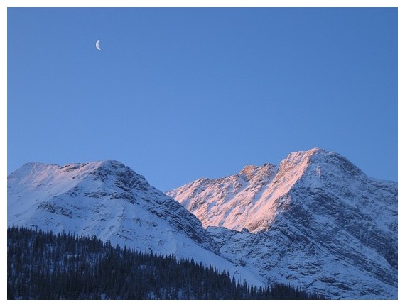 Morning moon above Hero's Knob
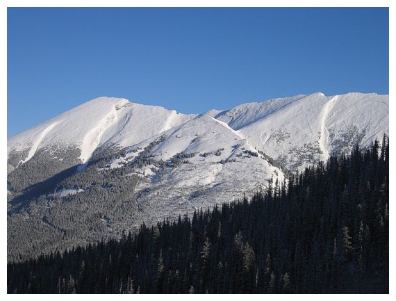
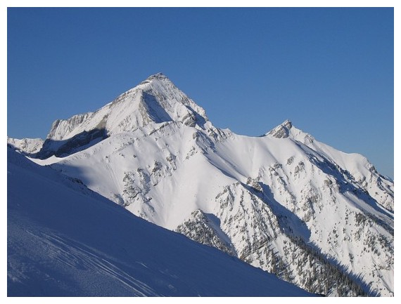
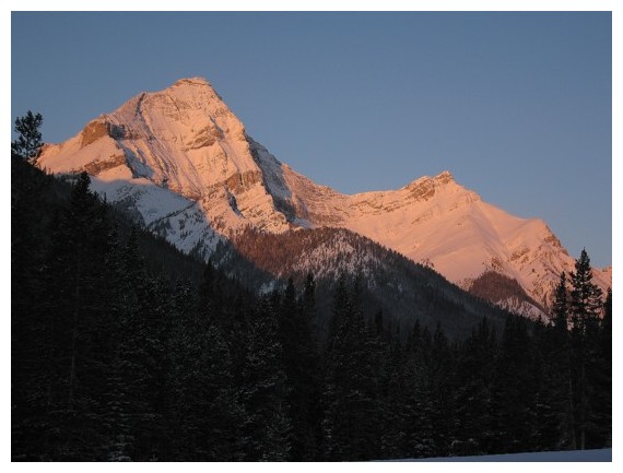 Mount Murray (left) and Cegfns
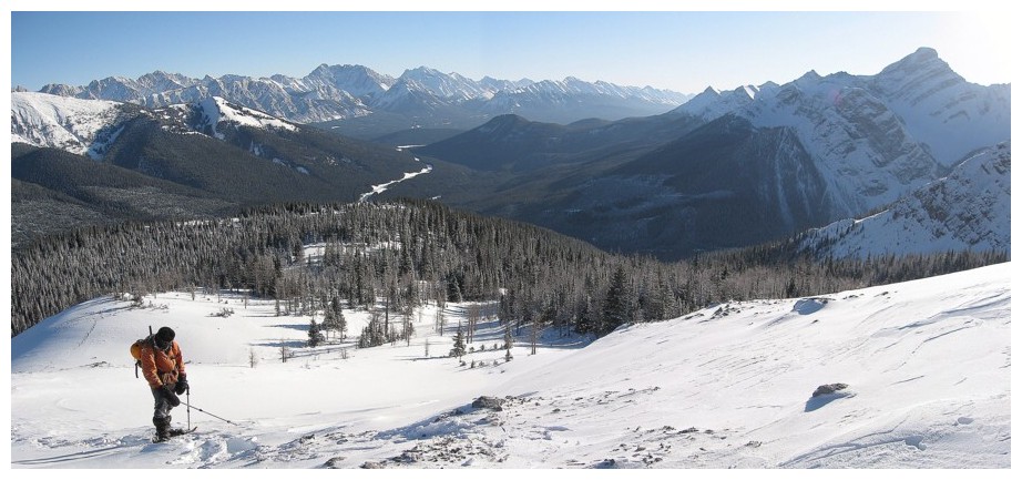
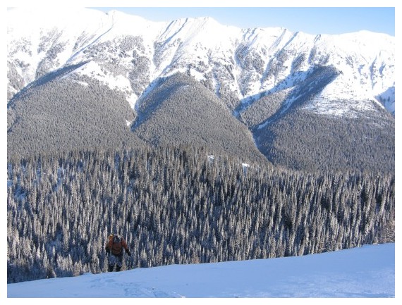
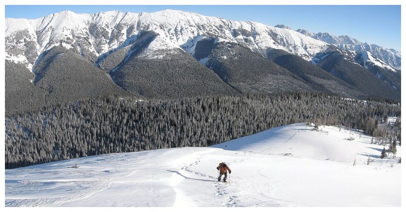
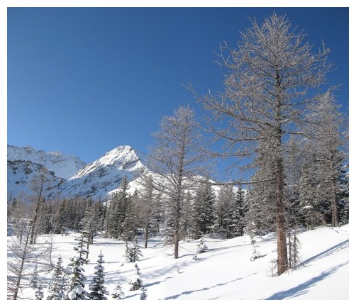
 Heading for Smith-Dorrien Creek
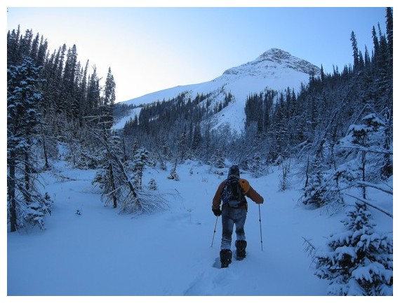
In the correct valley and heading up. The original objective is not in view and lies to the left.
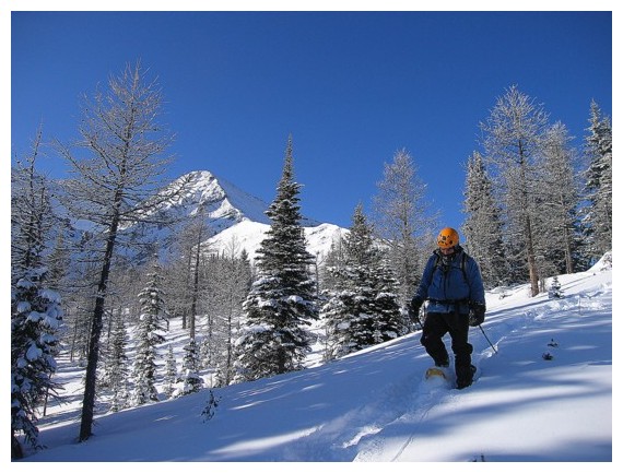
Mark leads us up some fairly strenuous terrain
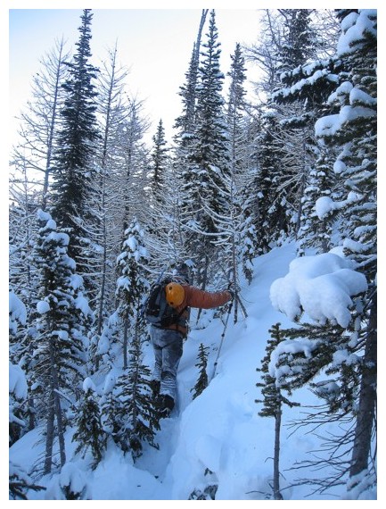
Short stint of bushwhacking
Views towards Mount Smith-Dorrien start to improve
Looking across the valley to Mount Kent
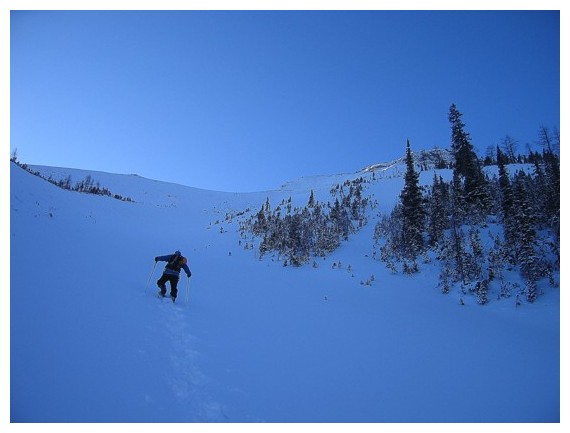
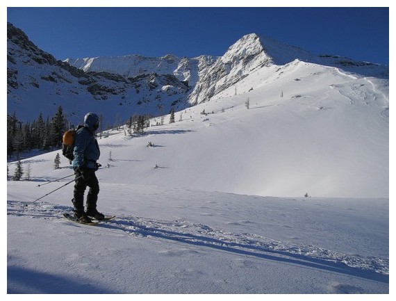
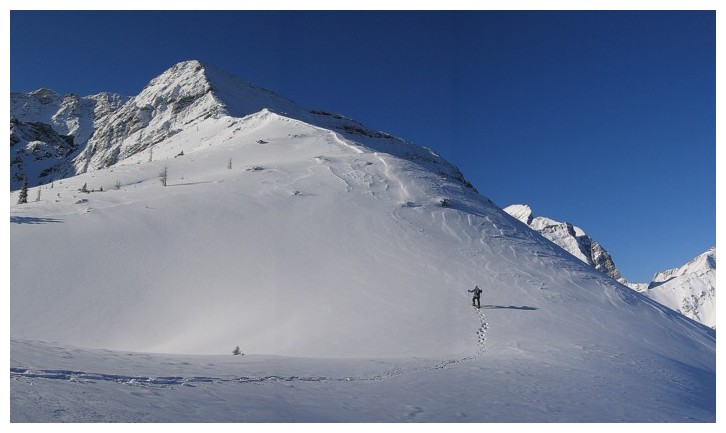
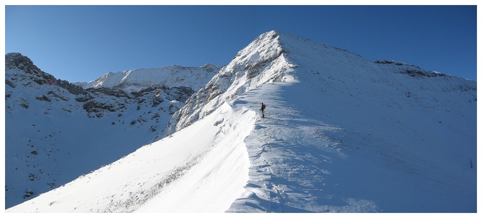
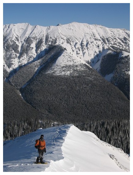
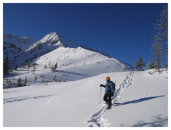
Trudging up to the ridge
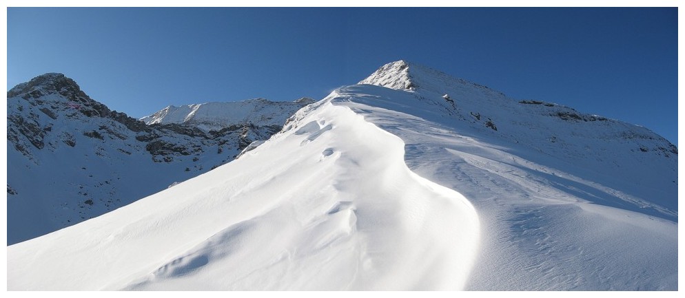
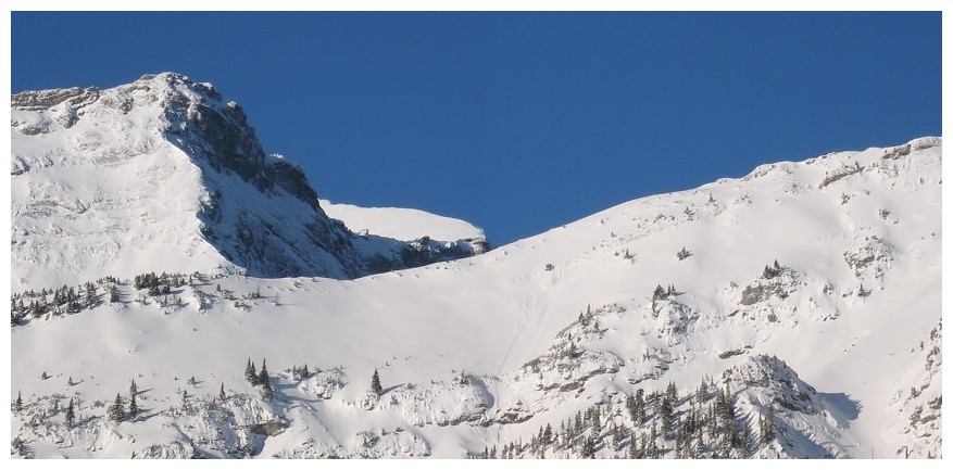
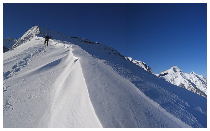
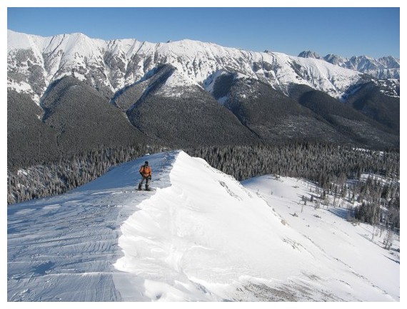
 On the ridge and looking towards our new objective
Up we go
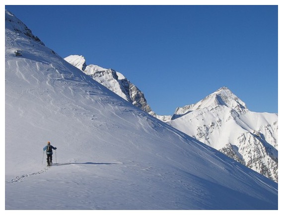
The significant length of Mount Kent and Kent Ridge stretches out behind us
Murray is an impressive looking peak from any angle
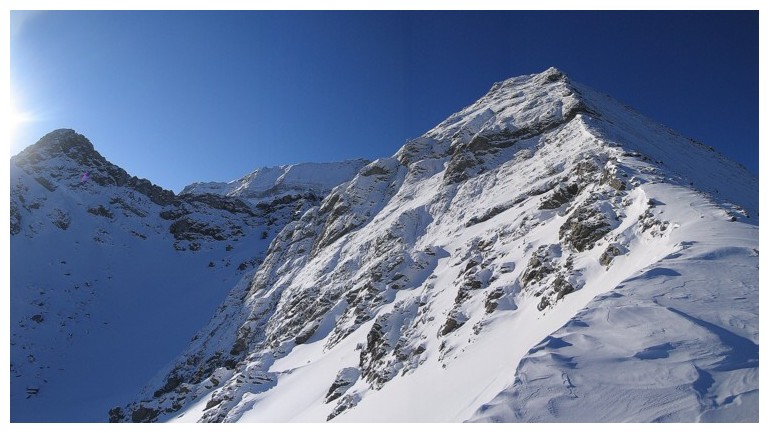
Getting steeper
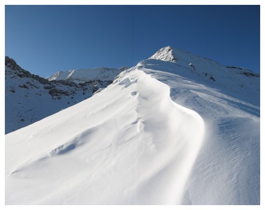
The kind of winter scenery we love
End of the line. Very steep terrain ahead.
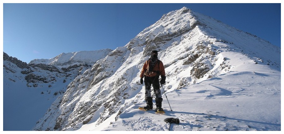
"End of the line" pose
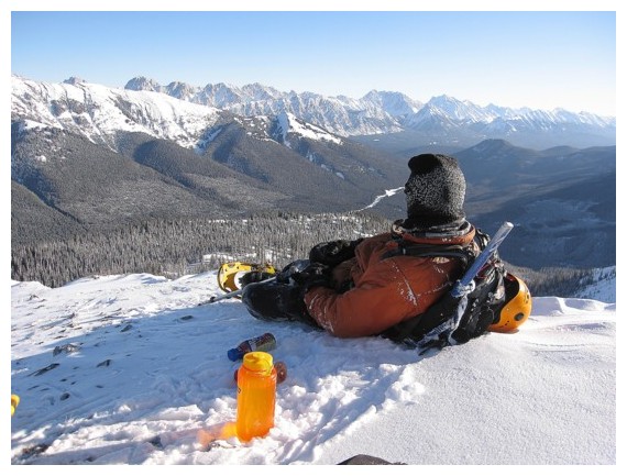
Short break before an easy descent
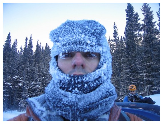
Good indication of the air temperature
The End