Mountain height: 2629 m
Elevation gain: 900
m
Ascent time: 3:25
Traverse time: 1:00
Descent time: 2:05
Solo scramble.
Following in the footsteps of Kevin Barton, who did this
route a week earlier, I set off to try
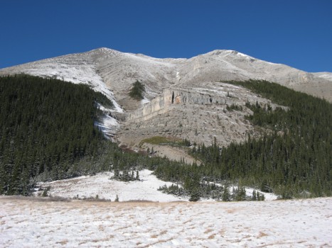
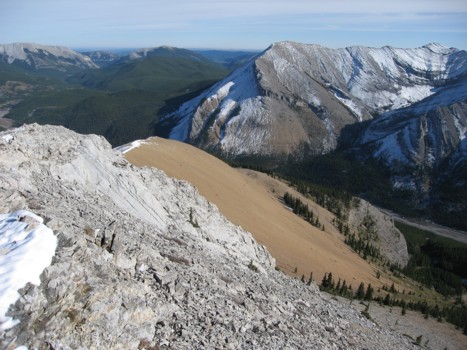
The hike along a tributary and around the base of the mountain was more enjoyable
than expected, especially given the initial signs of winter all around -
snow, ice forming, and the general beauty of the scenery. The second pleasant
surprise of the day came when I reached the crystal clear, greenish waters of
the tarn.
From the tarn, the remainder of the ascent involved a 500 vertical metre slog up
very tedious rubble and scree. One band a short distance up provided some
entertainment, but it was over almost immediately and the foreshortened slog
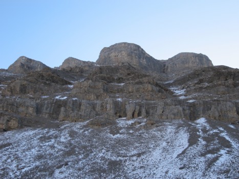
continued. Fortunately, at one point, while trying to catch my breath, I turned
around to see the four peaks of Lougheed just rising above the unnamed peak to
the west of the tarn. Fresh covered in a little snow, they were stunning. A few
metres later, I again turned around to see another group of familiar peaks
suddenly appear. This pattern continued all the way to the summit. By the time I
finally reached the top, the panorama had opened up to what I would call one of
the most breath-taking views I’d
ever seen. Perhaps my delight in the view was a combination of the recent snow,
the enormous amount of recognizable and distinctive peaks in every direction,
and the fact that I wasn’t
at all expecting a view of this magnitude.
After a significant bout of picture-snapping and a thoroughly enjoyable summit
stay,
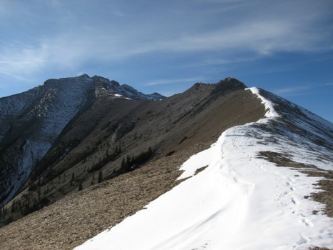
I decided to attempt the traverse. Though the north side of the peak was still
plastered in snow, the south side was clear and it appeared the route would take
me onto that side if things got tricky. The ridge provide an enjoyable traverse
until the mountain suddenly seemed to drop away on both sides. A few moves of
cautious downclimbing and I was able to circumvent the first serious obstacle.
Unfortunately, the second obstacle was a far more serious undertaking, as a deep notch appeared along the ridge. Getting around this section required an elevation loss and a little bit of route-finding, but the vertical rock scenery, now above me, was splendid. Once around this rock, the lower east summit was only a few minutes away and again sported a terrific panorama.
There appeared to be a number of potential descent routes
from the east summit that would lead quickly down to Canyon Creek, but I chose
to take Kevin’s suggestion and follow the
The last and more than pleasant surprise of the day was a spectacular cliff band near the bottom of the slope. After that, a 2.5 km hike back along Canyon Creek completed an absolutely fantastic day on a wonderful mountain. Great route Kevin – thanks!
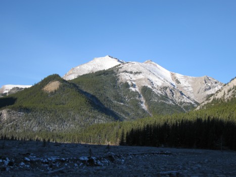
Mount Bryant from Canyon Creek
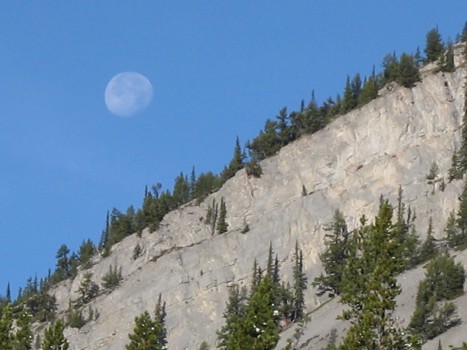
The fading moon
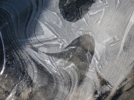
Frozen water
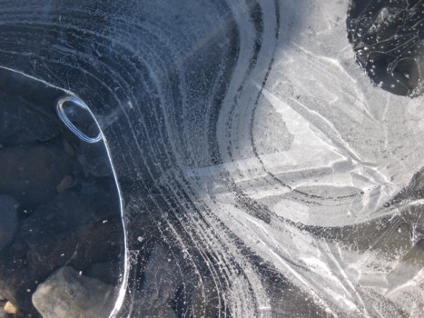
More frozen water
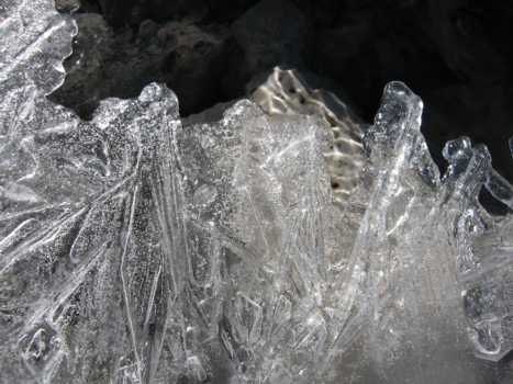
Still more frozen water
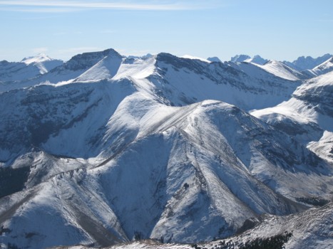
Two of many unnamed peaks northwest of Bryant
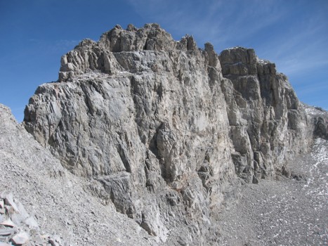
The west side of Bryant
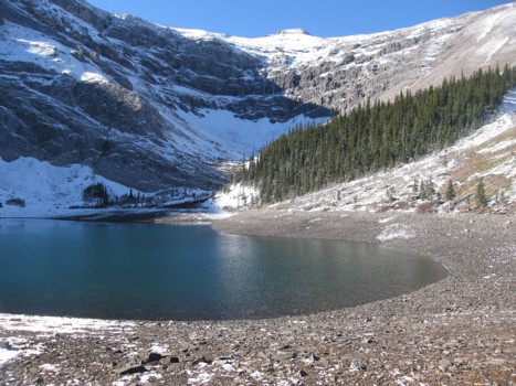
The tarn
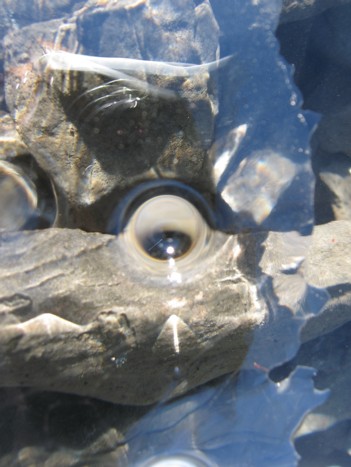
An air bubble under the ice
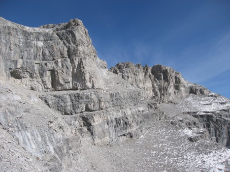
The only scrambling of the west slopes; steep, but big holds
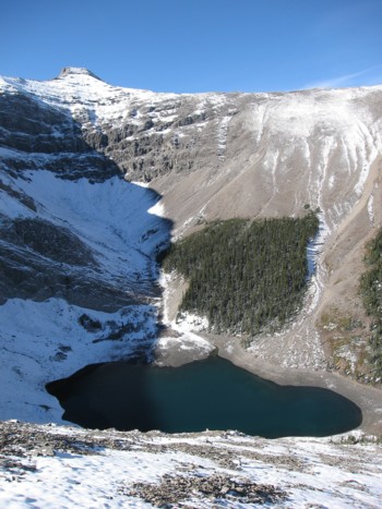
Looking down at the tarn
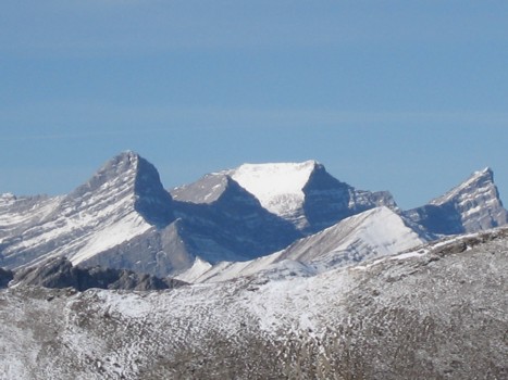
The four peaks of Lougheed (Wind Mountain is the fourth peak at the far left)
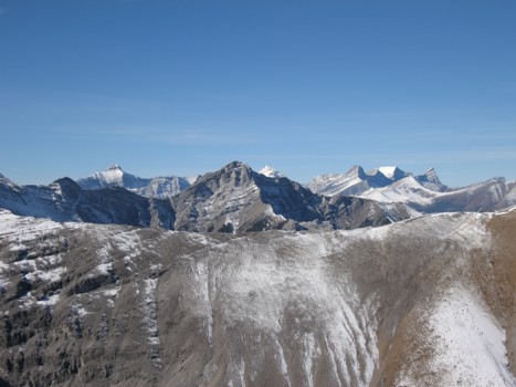
Bogart, Sparrowhawk, and Lougheed are now all visible

More impressive views to the southwest; Fisher Peak just right of centre
Looking south again
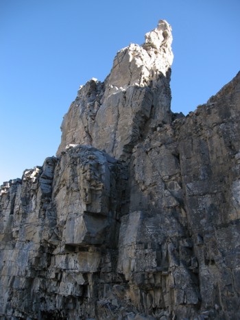
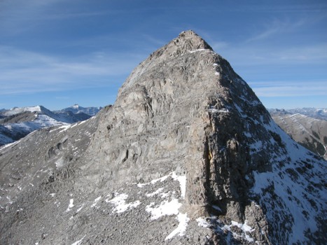
The east ridge of Bryant
Same as above
Looking back at the downclimb
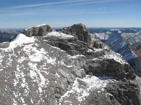
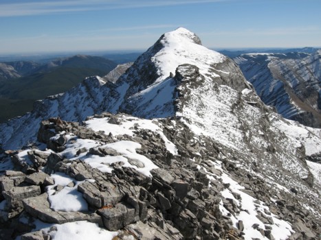
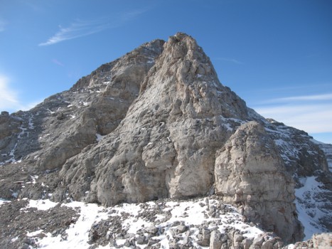
More of the east ridge, with the east summit in the centre
Looking back to the true summit (right)
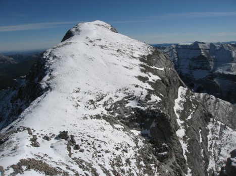
The final section of the east ridge
Traversing scree slopes below the ridge
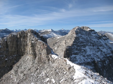
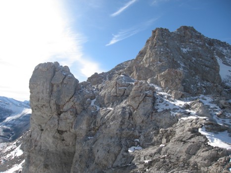
The impressive block before the east summit
Descending the east ridge
More good rock scenery on the ridge
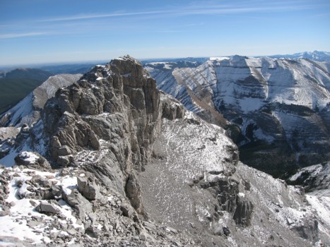
The southeast ridge, with Compression Ridge at the right
Looking back along the ridge; true summit in the centre
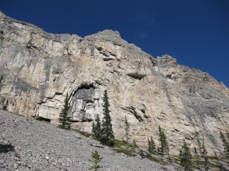
The impressive cliff band, low on the descent route