Mount
Mountain height:
2934 m
Total elevation gain:
1200 m
Ascent time: 10
hours
Descent time:
10 hours
Climbing (5.4) with Kevin.
The primary objective of this trip was to have our ascent and descent times both in double digits and equal to each other. On that score the day(s) was an extraordinary success! On other levels, the term “success” has to be used somewhat loosely, but no one was hurt and nobody died and I guess that is the true definition of a “successful” trip.
The
Rocky Mountains of Canada South describes an ascent of
Gaining the ridge consisted of an interesting jaunt up the west end of King Creek, a more miserable bushwhack up the south section of King Creek, a steep, but scenic hike up the grassy west slopes, and then a foreshortened slog up south trending ribs on the north section of the west face. From there we roped up and traded leads on the west ridge, though Kevin did lead the most difficult sections. Throughout, the climbing was exposed and finding good natural belay features a challenge. At several points I thought we were going to get cliffed-out, but we managed to find routes towards the summit. The crux occurred right before the summit. Kevin expertly led this very steep section and belayed me up to the odd site of a microwave repeater tower – not what we were expecting to find on a relatively unknown mountain (perhaps that’s why they put it there).
We then continued on to another slightly higher summit to the south. The ridge of this summit was very exposed on both sides and very loose. We were both glad to get off the summit block just after 7 pm and start the descent. This is where things got interesting.
Obviously there had to be an easier way off the mountain than the way we came up. The south west slopes seemed as though they would offer one and we concluded that the 3.5 hour first ascent was achieved from this side. We picked one of two scree gullies and started down. The gully soon ended in a drop-off and we were forced to rappel off two pitons into another scree gully below. It was now starting to get dark and we were both concerned that each successive gully would end in a cliff. Unfortunately the next one did exactly that and we couldn’t see if the rappel rope had reached the bottom. We had two choices: find shelter and spend the night on the mountain or rappel down and pray that that we could downclimb the rest if the rappel rope didn’t reach the bottom. With a brisk wind, the temperature on the mountain face was quite cold and we opted to take the chance and rappel off a boulder. Thankfully, the rope reached a spot where it was easy enough to downclimb and after rappelling we again started down more scree slopes.
We didn’t hit any more drop-offs, but the remainder of the descent was painfully slow because we had only our headlamps to light up the terrain on front of us. In total we ended up doing four rappels. It was 3 am before we finally got off the actual mountain and back down to the creek. Sleep deprived and exhausted, the last two hours were sheer misery, equaled only by two other soul-sucking descents on Mount Kitchener and Mount Head. At exactly 5 am we stumbled back to the parking lot, 20 hours after leaving. A memorable day out, to say the least.
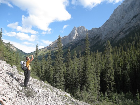
Kevin tries to spot our objective
An unnamed peak between Blane and Burney
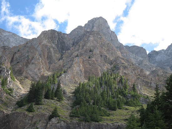
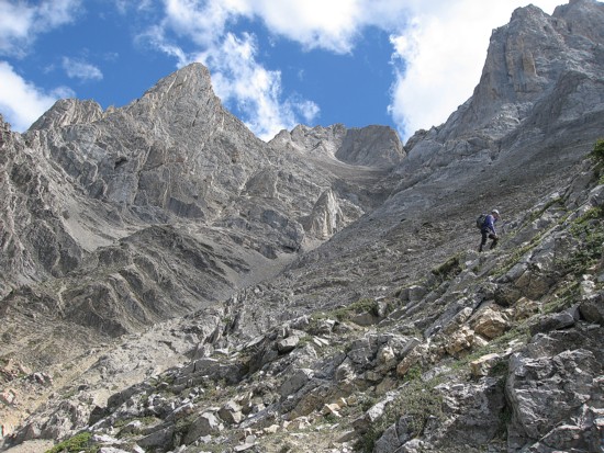
Kevin slogs up the lower slopes; the summit is near the right
side
of the photo and our route followed the right skyline
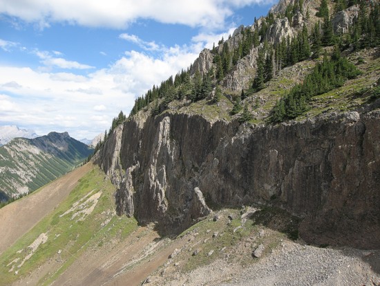
The rock wall that runs across the lower slopes
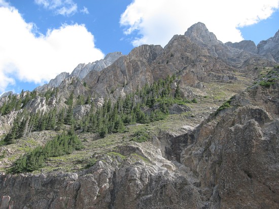
More of the scenic lower slopes
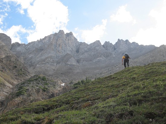
Kevin works his way up to the ridge
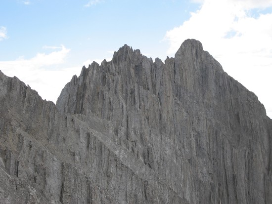
Mount Jerram
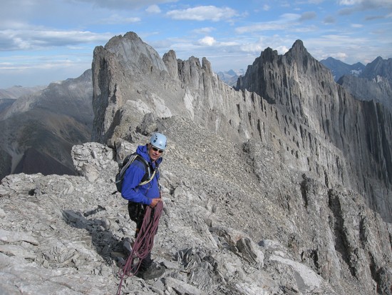
Kevin on the ridge; Mount Wintour behind
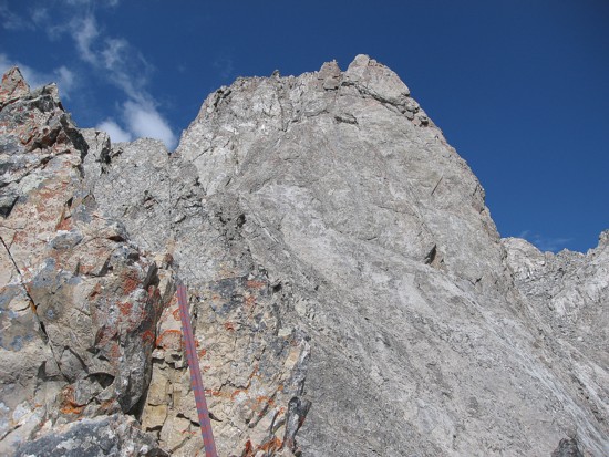
The summit block
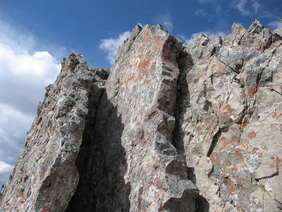
An interesting rock formation that Kevin led us over
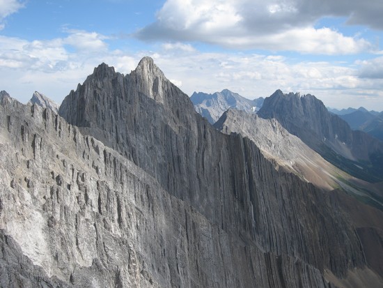
Looking south to Mount Jerram and Elpoca Mountain (right)
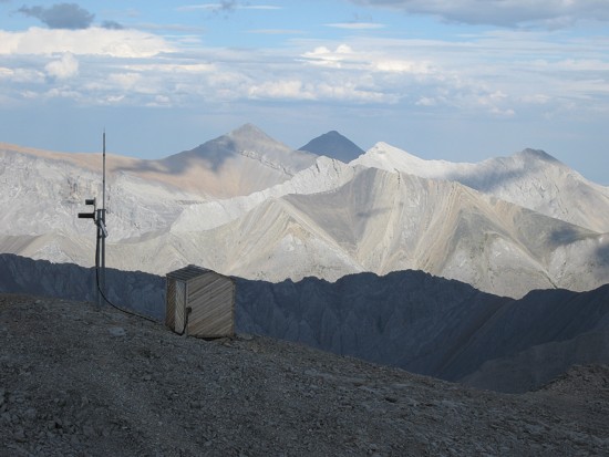
The repeater tower and peaks of Elbow Valley
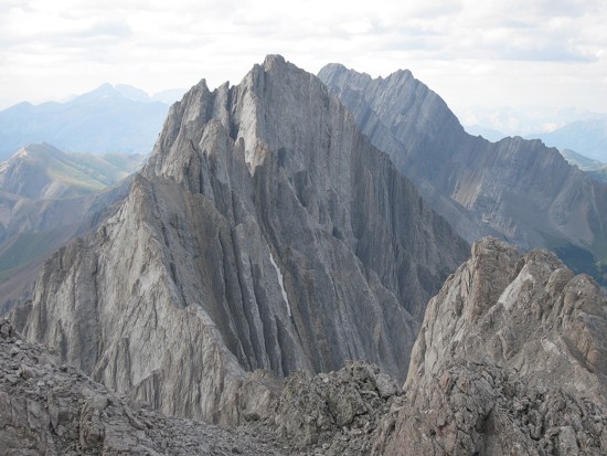
The south side of Mount Blane
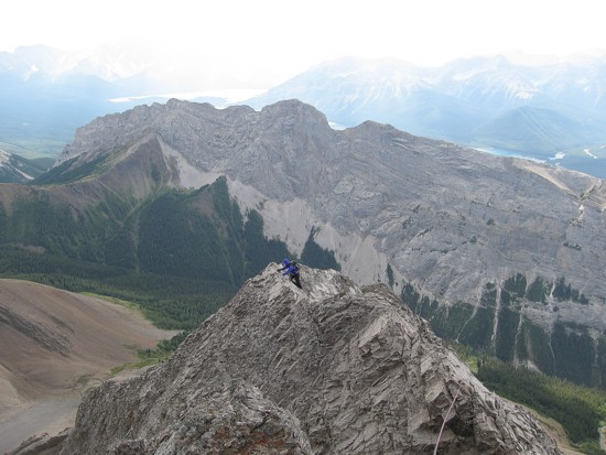
Kevin heads towards the slightly higher summit just left of centre
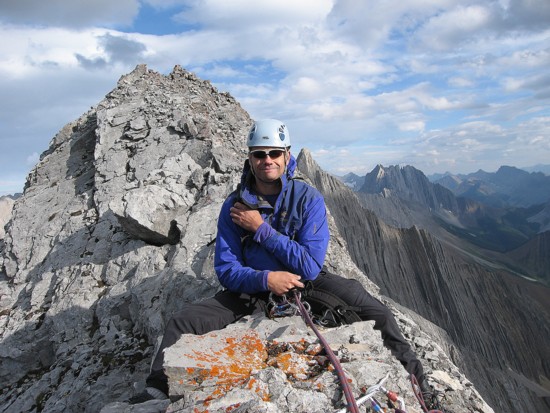
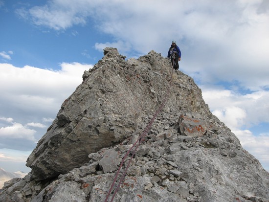
Kevin just before the summit
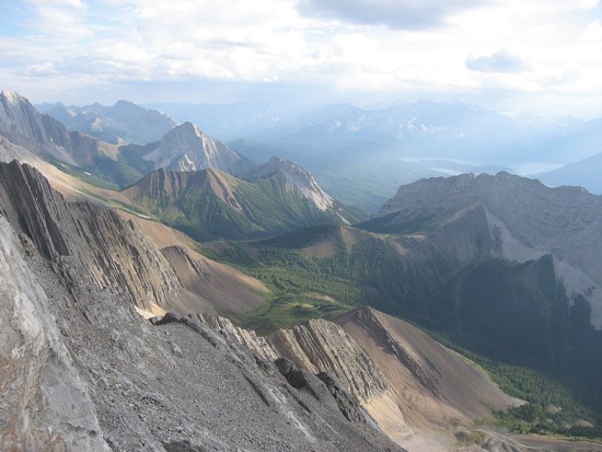
Looking southwest down to the valley
Kevin returns from the summit
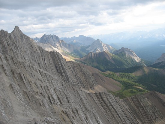
The beautiful southwest valley again