Cat Creek Knob and Cat Creek Ridge
November 9, 2008
Mountain heights:
2370
m, 2566 m
Total elevation gain:
approx.
1100 m
Ascent time to Cat Creek Knob:
3:00
Traverse time to Cat Creek Ridge:
3:15
Descent time:
2:45
Scrambling and a little mountaineering with Mark.
Sometimes I question if all the climbing gear we typically carry with us on practically every trip is overkill. For example, on the previous week’s trip up Barnaby Ridge we took crampons, ice axes, a rope, harnesses, slings, and several cams - we didn’t use any of it. Then a day, such as this one, comes along to remind me that it’s always better to carry too much than not enough.
Our intended objective was
“Jeri”, the unnamed GR south of 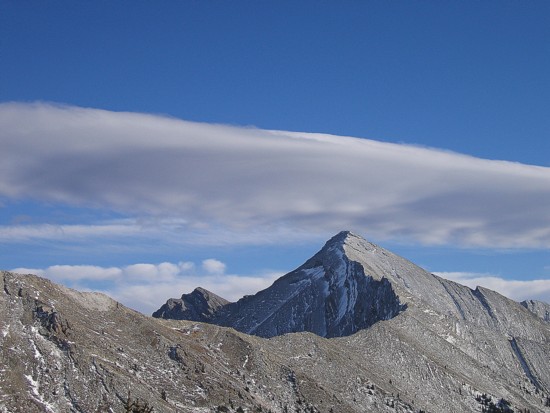 for the day
because
of a Rally Race.
for the day
because
of a Rally Race.
I didn’t have his route descriptions with me, but recalled that Bob Spirko had ascended one or two GR’s in the vicinity of Cat Creek and so that’s where we went instead. I also recalled some mention of a cliff-band interrupting progress from the lower summit (Cat Creek Knob) to the higher one (Cat Creek Ridge). As such, we armed ourselves with exactly the same climbing gear we carried up and down Barnaby Ridge.
The approach hike was nothing
special, but at least was on a
good trail that would be easy to follow, should we be returning in the
dark.
The scenery improved dramatically as we left the confines of the creek,
onto
the open, grassy slopes of Cat Creek Knob. An easy and very pleasant
ridgewalk
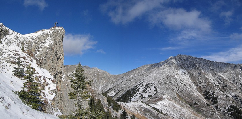
brought us to the summit of Cat Creek Knob. Views toward the south end
of
Getting down to the col between Cat Creek Knob and Cat Creek Ridge was fraught with difficulties. Searching for a weakness in the cliffs on the east side yielded nothing but dead-ends (actually severe drop-offs!) and so we followed the sometimes narrow ridge until it too ended in a drop-off. Much of the ridge was snow-covered and crampons and some rope work were essential to negotiate the terrain. Unable to find a good anchor to set up a rappel, we tried to circumvent the drop-off by going down steep slopes on the west side. Mark led the way and was able to descend to a lone tree on the slope. The tree provided a perfect anchor to set up a rappel to get down the most dangerous section. We then hiked back up to the ridge and down the other side on easy slopes to the col. The effort, barely covering a horizontal distance of 400 metres, took us 2 full hours, making use of all the gear we had except the cams.
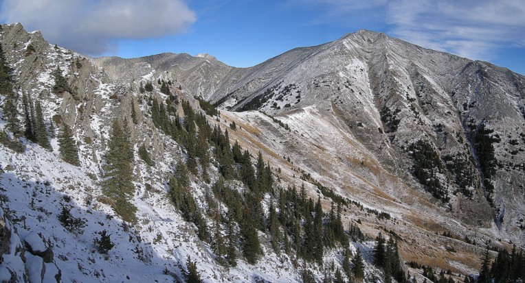
The remainder of the ascent to Cat Creek Ridge was not only easy, but very scenic as well. The area surrounding Cat Creek is a beautifully aesthetic combination of grassy and treed hills, colourful, lichen-covered rock, narrow ridges, and numerous striking peaks.
After taking in the wonderful view from the summit, we started down. The descent started with horribly tedious rubble, which soon gave way to grassy slopes that couldn’t have been easier and more enjoyable to descend. A long hike via the wide trail ended the day and though the sun had long since set, a full moon did offer was some light and we were able to leave the headlamps in our backpacks.
An excellent day out, but next time we’ll leave those pesky cams at home!
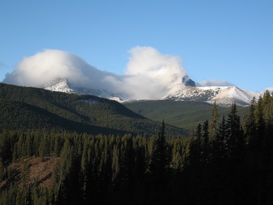
Clouds consume Mounts Strachan (left) and Muir (right)
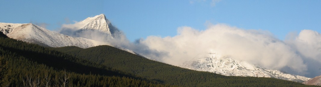
Mount McPhail to the left
McPhail
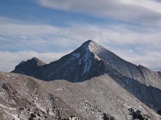
Mount Loomis (centre) and it's outliers
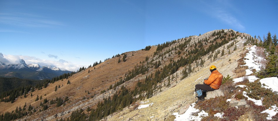
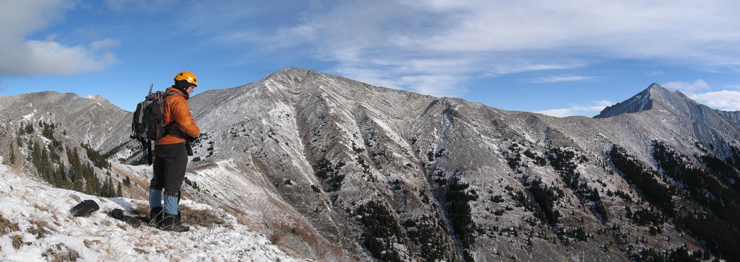
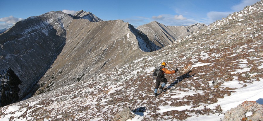
Mark (lower right) ascends the grassy slopes of Cat Creek Knob
On the ridge
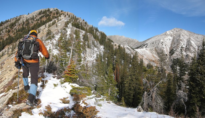
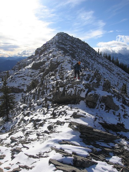
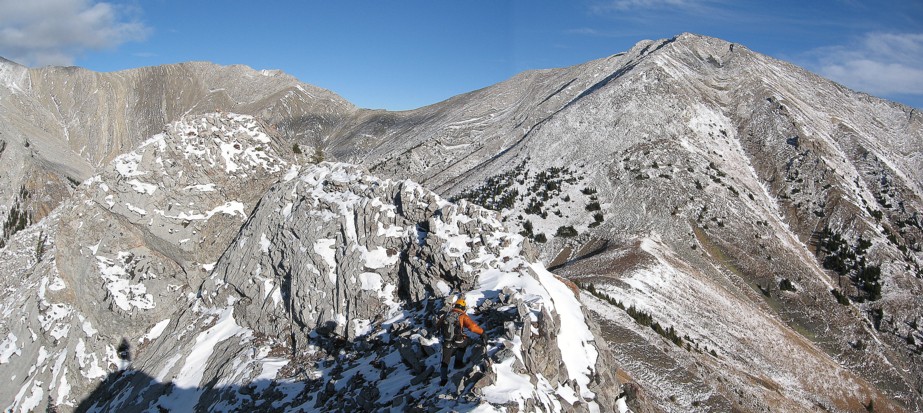
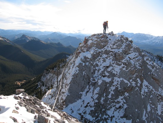
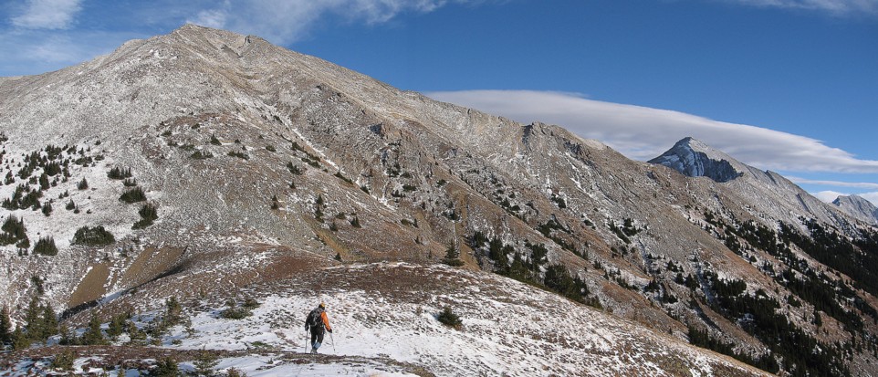
Hiking up the ridge; Cat Creek Ridge to the right
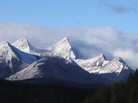
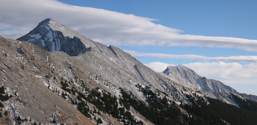
Looking at Cat Creek Ridge
Same as above
Same as above, with a northern outlier of Mount Head at the right
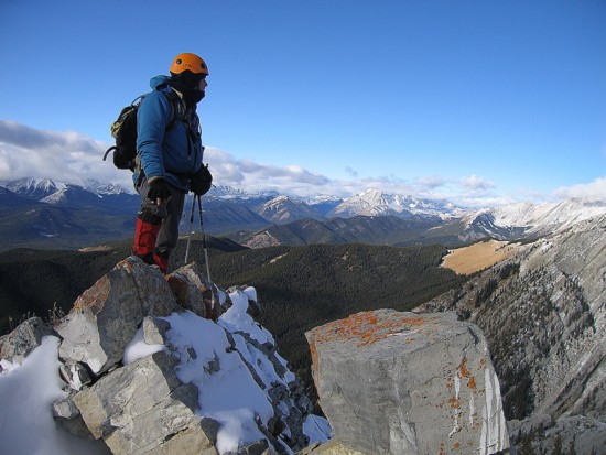
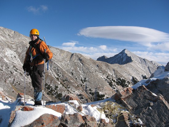
Mark at the summit of Cat Creek Knob
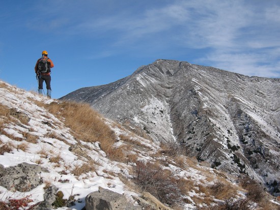
The first of the ridge towards Cat Creek Ridge
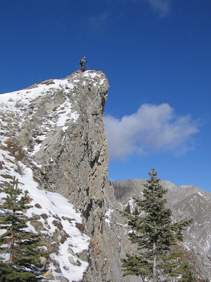
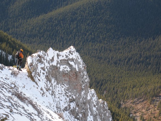
Looking back at the ridge; I went looking for a weakness in the cliffs to the left and didn't find one; I'm barely visible near the lower left
Looking up at Mark (left) on the ridge; Cat Creek Ridge to the right
Traversing the ridge to find a way down to the col
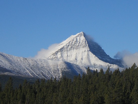
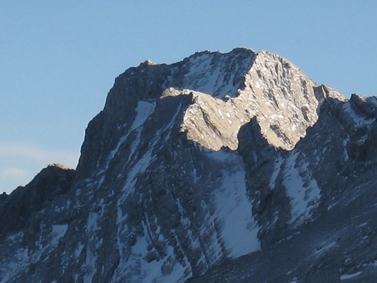
The outlier of Head was very photogenic, given half of it was in shadow
Mark prepares to traverse a narrow section of the ridge
My turn to downclimb the next exposed section; thankfully, there were several solid hand-holds
A cloud forms over the outlier
More interesting clouds, as I rappel from the tree above
Serendipity Peak (centre) and the highest peak of ht of Serendipity)
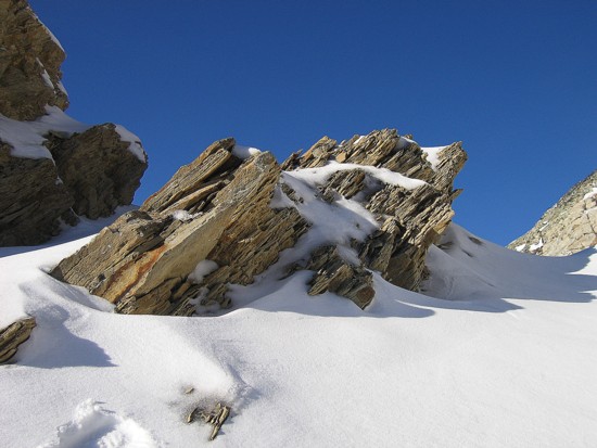
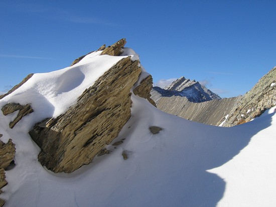
A fin of rock
Finally on easy slopes to the col
Holy Cross Mountain is now visible to the right
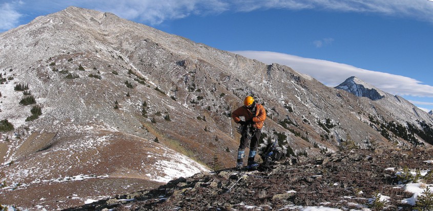
Getting rid of the the crampons and climbing gear for the ascent of Cat Creek Ridge (left)
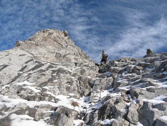
Starting up
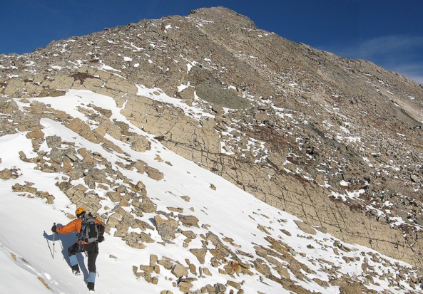
More of the ascent
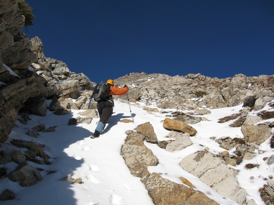
Same as above
Rock, snow, and blue sky - always an unbeatable combination
Same as above, with Lineham Creek Peak to the right
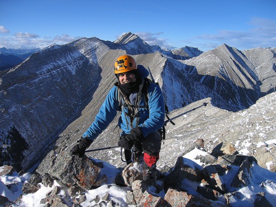
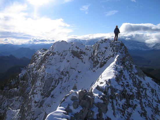
Mark at the summit
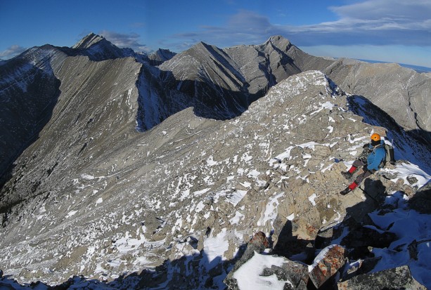
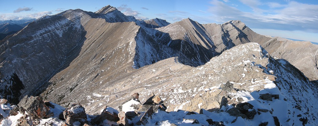
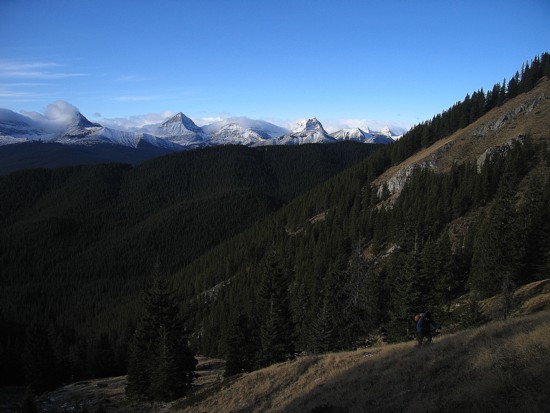
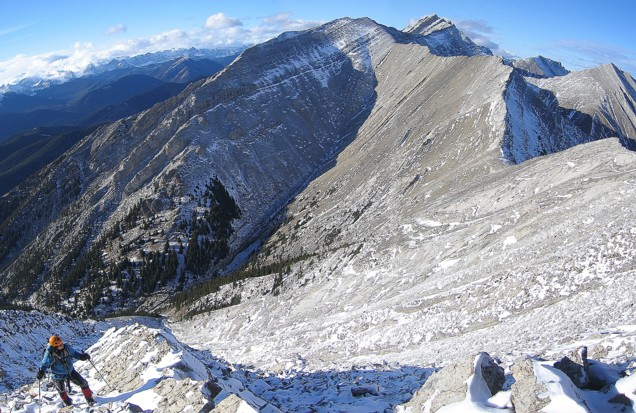
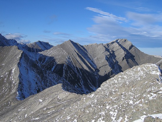
Mark surveys the maze of ridges to the north of Cat Creek Ridge
The view to the south
The summit block of Mount Head
Patterson's Peak (right)

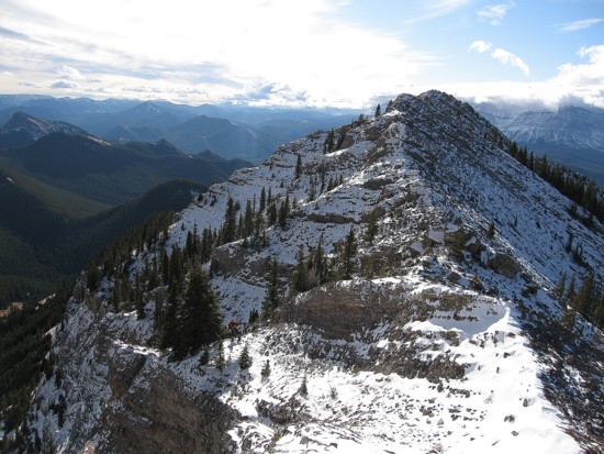
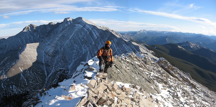
On descent, looking back at Cat Creek Ridge