Chinook Peak
August 4, 2014
Mountain
height: 2606 m
Elevation gain: 1250 m
Roundtrip
time: 6:45
Scrambling
with Raff.
 Chinook
Peak may be considered by many to be the poor, neglected child of the north end
of the Flathead Range. A lengthy approach and less than aesthetic ascent
probably deter many from attempting the somewhat obscure peak. However, those
less than favourable traits were not going to stop Raff and me from trying!
Chinook
Peak may be considered by many to be the poor, neglected child of the north end
of the Flathead Range. A lengthy approach and less than aesthetic ascent
probably deter many from attempting the somewhat obscure peak. However, those
less than favourable traits were not going to stop Raff and me from trying!
Raff
wisely chose to bring a bike for the approach alongside Ptolemy Creek, while I
went on foot. We generally stayed together, the multiple crossings of the creek
slowing down Raff and his bike a little.
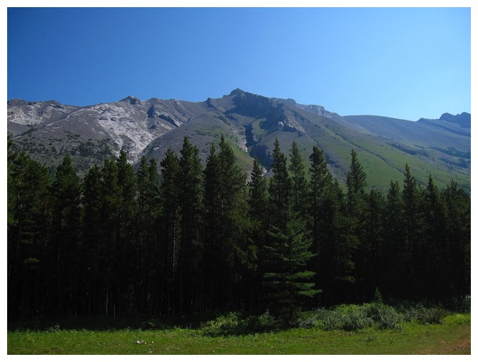
Views
of this beautiful valley opened up as we soon gained a big chunk of elevation
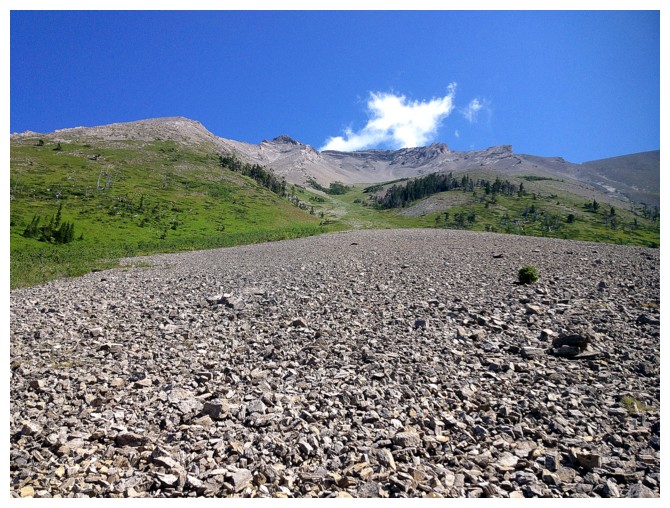
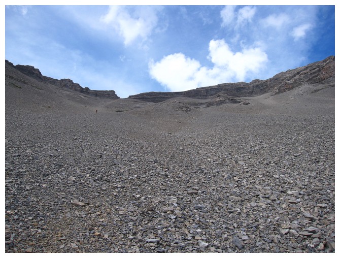
to escape treeline. Once below the summit of Chinook we embarked on your
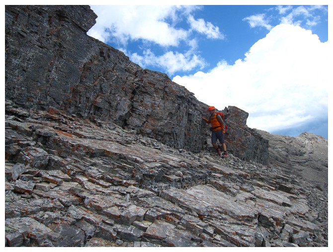
standard ankle-jarring scree and rubble slog, with a little steep scrambling up
loose, downsloping rock up to the ridge. Trending left towards what we thought
was the summit, we arrived at the ridge to the surprise that we actually went
the wrong way and the summit sat to the right. Getting there via the loose,
narrow ridge looked sketchy at best and so after ascending it for a short
distance we lost a little elevation and traversed below the ridge. The summit was
easily reached shortly thereafter.
Unfortunately,
the generally good weather we enjoyed for most of the ascent was now breaking down,
with dark clouds looming over everything to the southeast; fortunately the
skies directly above us remained clear. After taking in a view of somewhat
nostalgic Parrish, Andy Good, McLaren, and Coulthard and then consuming a delicious
C Plus, we started the initially tedious but later easy descent.
Regrettably
I didn’t bring anything of value that I could use to bride Raff to surrender
his bike to me for the second half of the return trip. What took me almost 2 hours took Raff
an exhilarating 30 minutes!
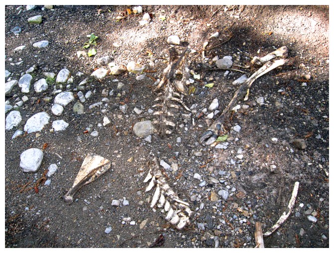
Something died
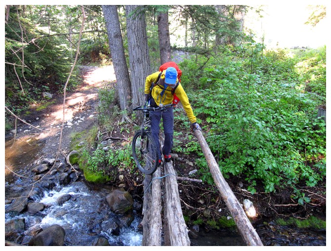
Raff on one of the numerous crossings of Ptolemy Creek
Some were bridged, some were not
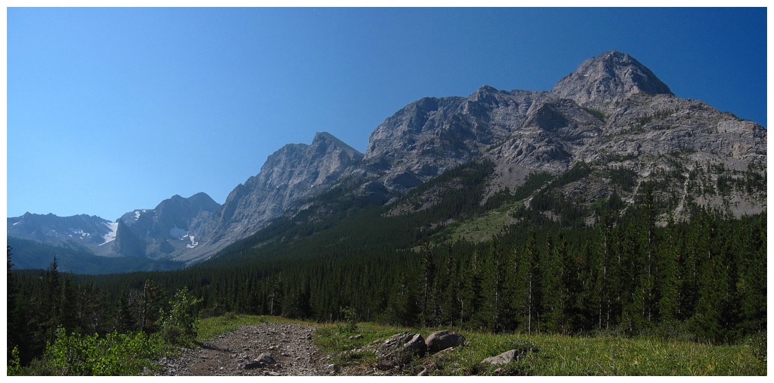
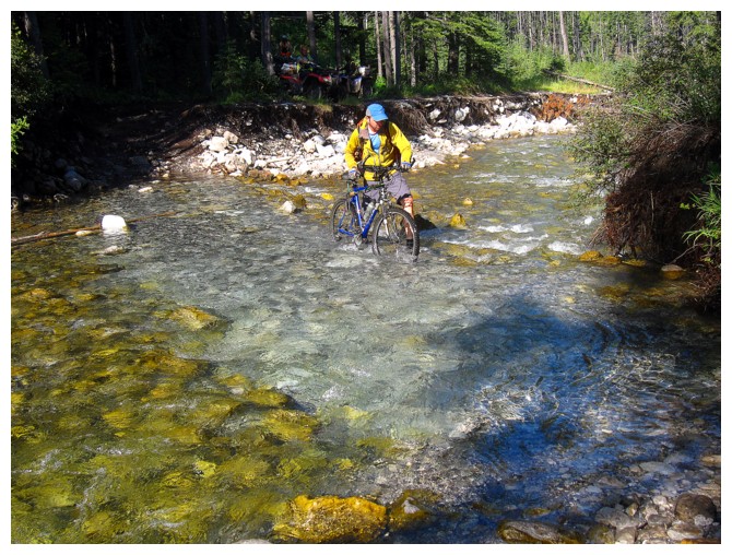
Out into the open environs of Ptolemy Creek
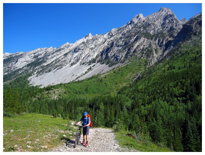
Raff and his trusty steed
Chinook Peak
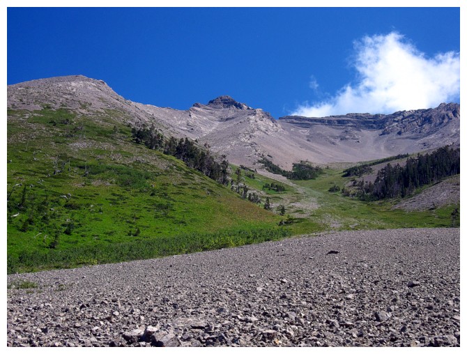
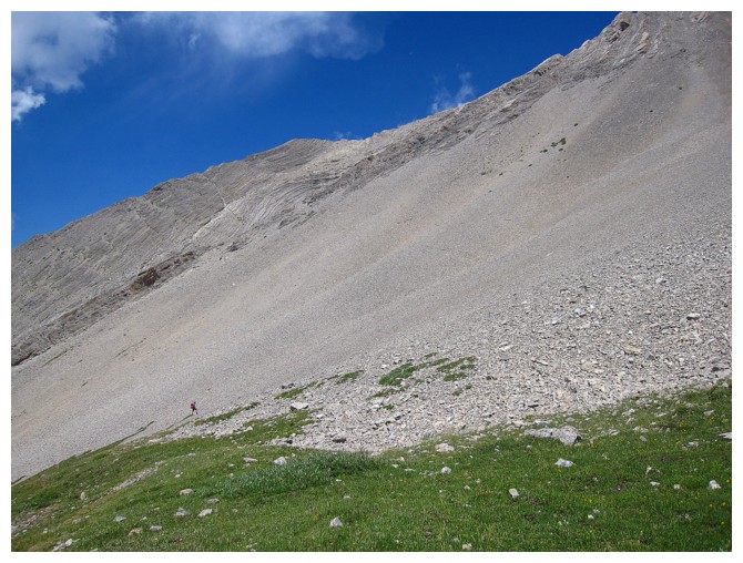
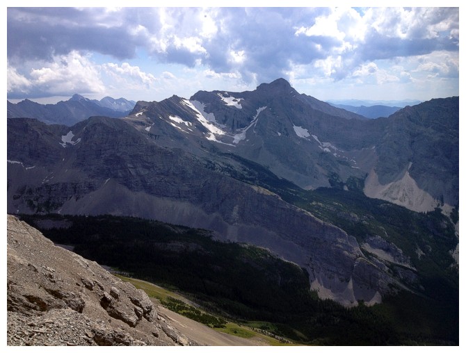
Looking up the ascent slope from the trail. The summit is just right of centre, not left as we thought.
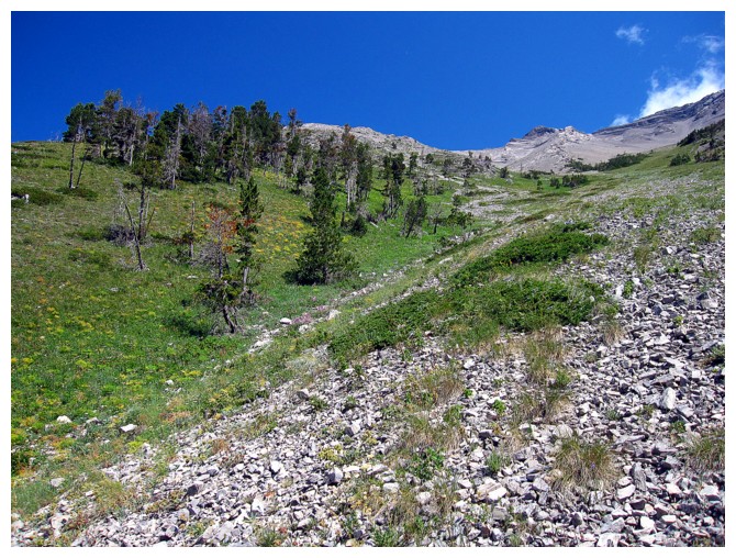
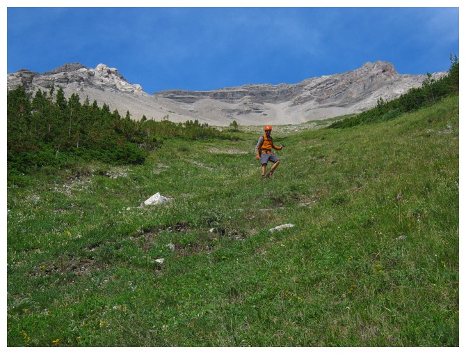
Sections of grassy terrain offered slightly more friendly footing
And then there was this
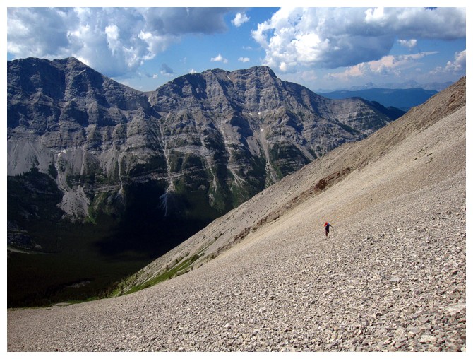
Raff ascends the annoying rubble, with the "Everest" of the area, Mount Ptolemy, in the background
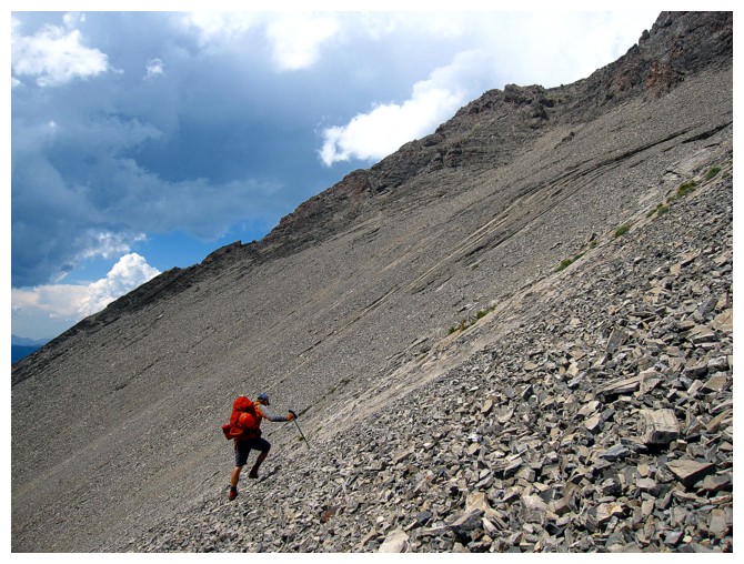
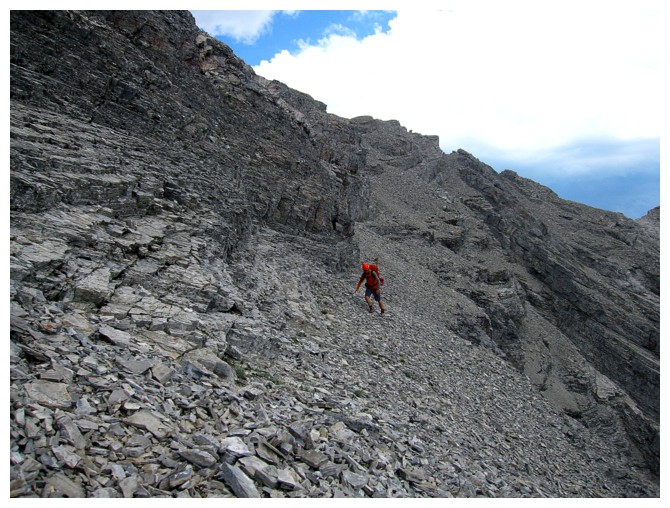
More rubble and now its steeper!
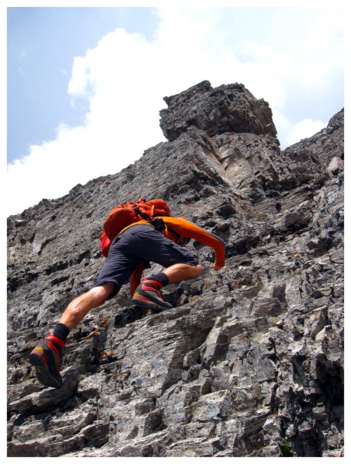
Raff scrambles up tricky terrrain towards the ridge
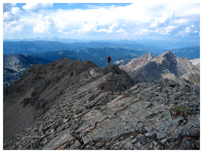
We reach the summit to discover its not the summit
There's the top!
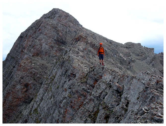
Raff carefully traverses the exposed ridge
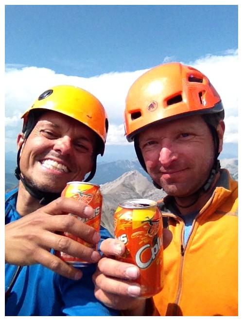
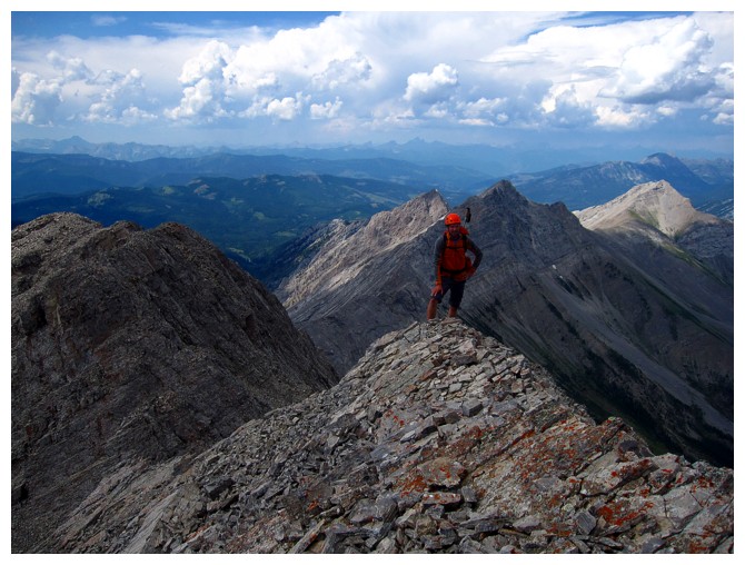
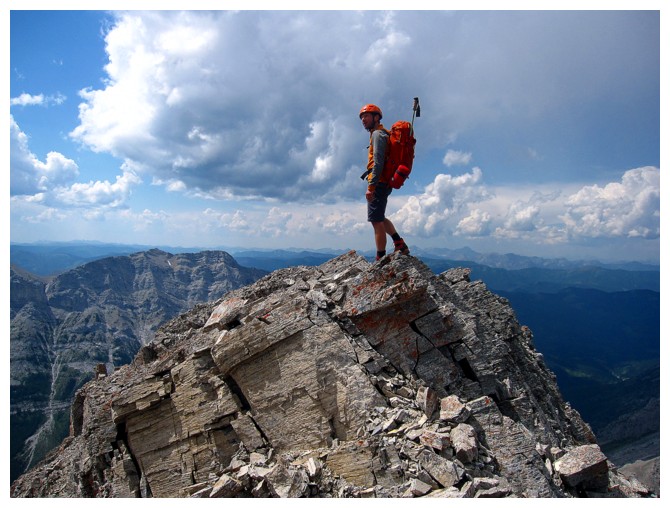
Pop is only consumed at the summit, so we must be there!
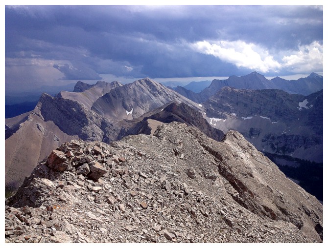
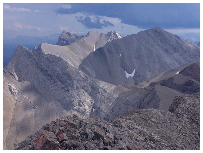
Looking northwest along the ridge to Sentry Mountain
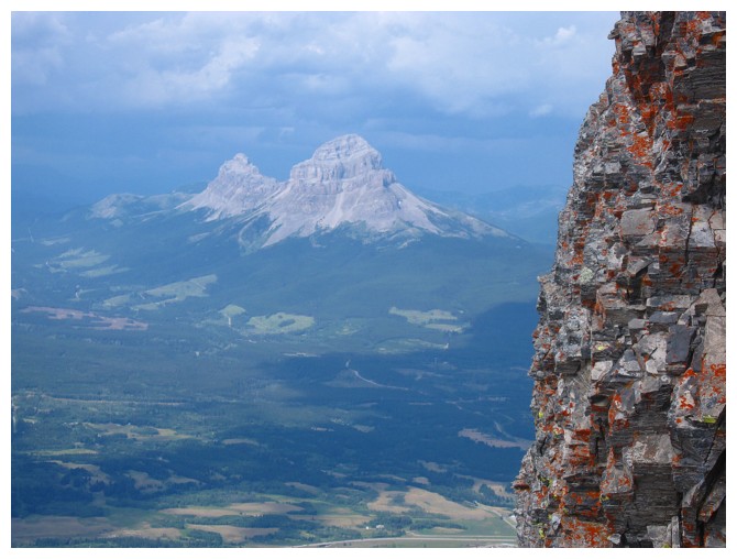
Crowsnest Mountain is the highlight of the view to the north
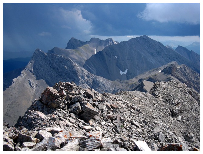
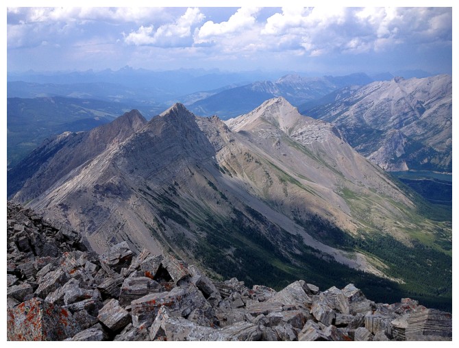
The ominous view to the southeast includes Parrish, Coulthard, Andy Good, McGladrey and Darrah
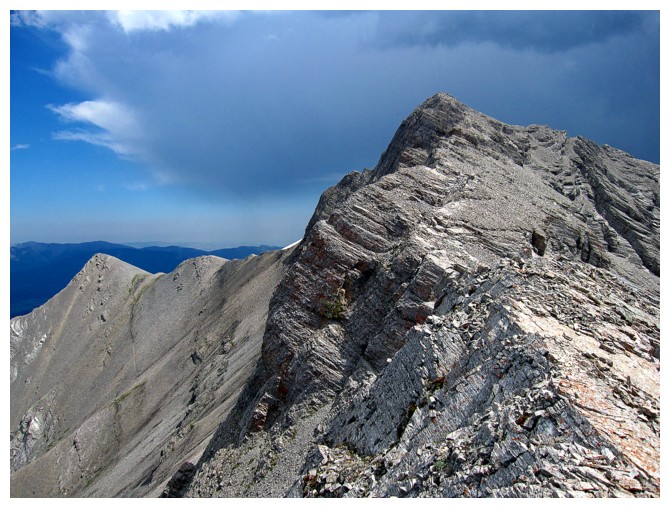
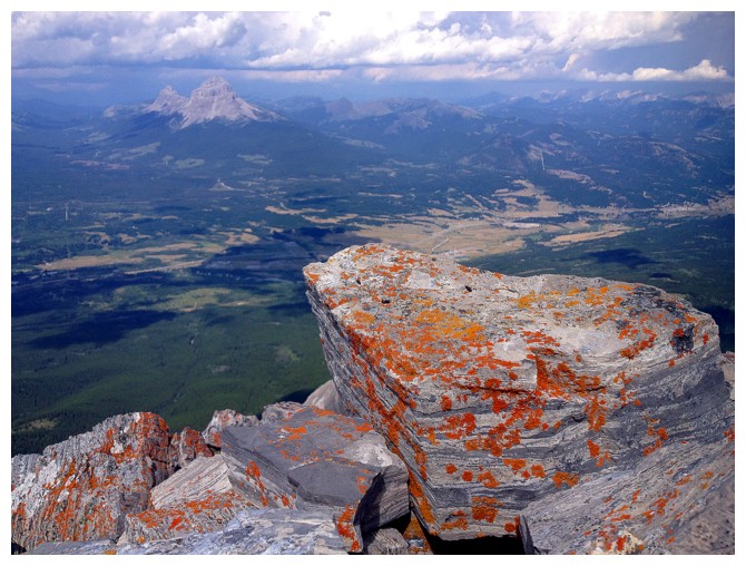
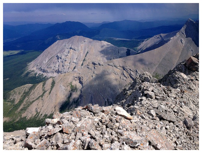
Mount Ptolemy
Mount McLaren enjoys some Sun, while Hillcrest Mountain enjoys some rain. Turtle Mountain is to the left of Hillcrest
All of my favourites (sarcastically for one!) of the Flathead range: Parrish (the little point at the far left),
Coulthard (getting all of the Sun), and Andy Good (big peak in the shade)
Mount Tecumseh north of Crowsnest Lake
The downsloping rubble slog required to get back down
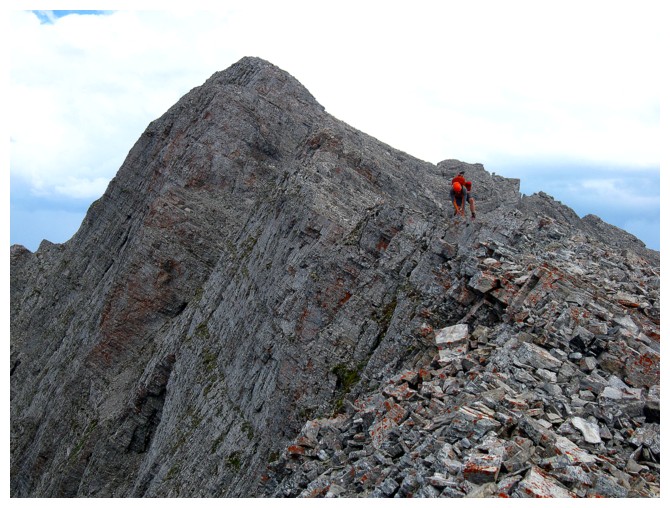
Raff carefully scrambles along the ridge
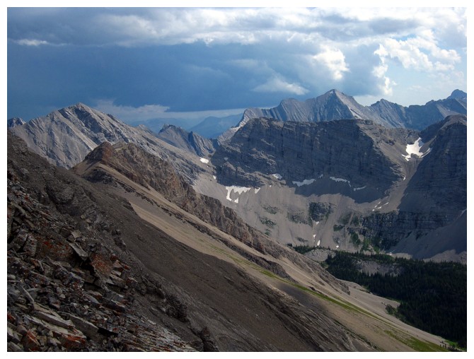
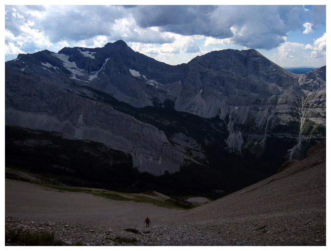
Last good view before the rubble descent. The big peak right of centre is unnamed but is
third only to Ptolemy and Darrah in height for mountains in the area
More downsloping terrain
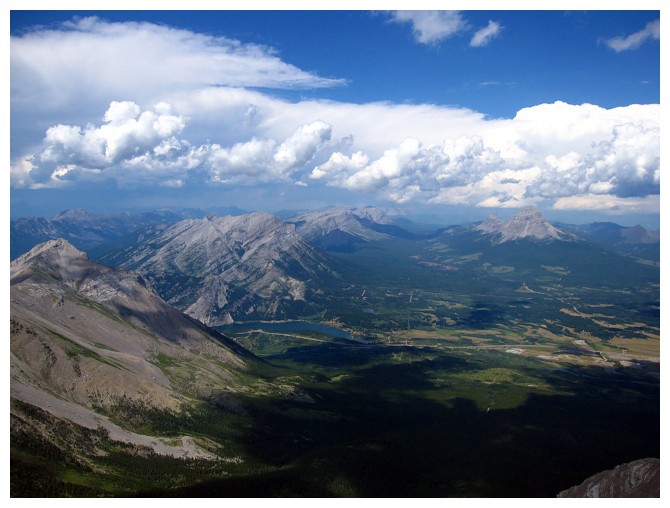
Crowsnest Mountain and Seven Sisters Mountain
Raff (little dot towards the left) descends the pleasant rubble!
And then onto better terrain
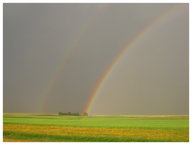
The classic double rainbow!
The End