“Clougarvan Peak” recon.
July 8, 2011
Solo
scramble.
 With
forecast winds of 90+ km/h for the day, and still a little tired from a
wonderful trip in GNP 24 hours earlier, I thought a summit might not be
the
best idea. Since an attempt at yet another highpoint along the
spectacular
ridge from Bellevue Hill to Avion ridge (also includes Galwey,
Dungarvan,
Cloudy Ridge, Glendowan, and Newman) was inevitable, I chose a
reconnaissance
mission to check out the peak between Cloudy
Ridge and Dungarvan – which logic
dictates could be unofficially named “Clougarvan Peak”!
With
forecast winds of 90+ km/h for the day, and still a little tired from a
wonderful trip in GNP 24 hours earlier, I thought a summit might not be
the
best idea. Since an attempt at yet another highpoint along the
spectacular
ridge from Bellevue Hill to Avion ridge (also includes Galwey,
Dungarvan,
Cloudy Ridge, Glendowan, and Newman) was inevitable, I chose a
reconnaissance
mission to check out the peak between Cloudy
Ridge and Dungarvan – which logic
dictates could be unofficially named “Clougarvan Peak”! 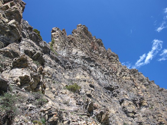 Contours lines on the
map clearly indicated this highpoint would provide the steepest ascent
of any
of the above peaks and I wanted to get a close-up look.
Contours lines on the
map clearly indicated this highpoint would provide the steepest ascent
of any
of the above peaks and I wanted to get a close-up look.
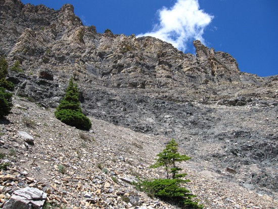
After
a short but mandatory bushwhacking from hell stint, common at the
beginning of
many ascents in the area, a more leisurely stroll up the southwest
ridge
followed. Throughout, there were good views of Mount Anderson, and the
peaks of
the aforementioned ridge.
The
highpoint provided another terrific view, especially of Clougarvan’s
very
impressive west face. As expected a direct route to the summit looked
very
technical. I then traversed over to the face to take a closer look. A
scramble
route was out of the question, however, it was worthwhile to take check
for
other possible routes on either side of the ridge. I chose the south
side,
side-sloping steep terrain in search of easier terrain. I did find a
potential
route up, but was leery about attempting it solo. Instead I just
settled for a
pleasant rest break, a tedious traverse back to the face and then an
easy
descent back to the car.
Overall, a very enjoyable day of exploration.
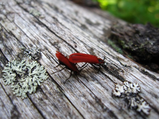
Weird bugs doing weird things
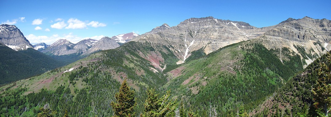
On the way up, the view to the north; visible peaks from left to right include Avion Ridge, Newman Peak, Glendowan, "Cloudowan", and Cloudy Ridge
The Unnnamed by Newman (centre) and Glendowan (upper right)
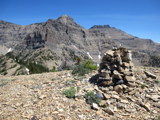
The summit cairn indictaes this to be a fairly popular highpoint;
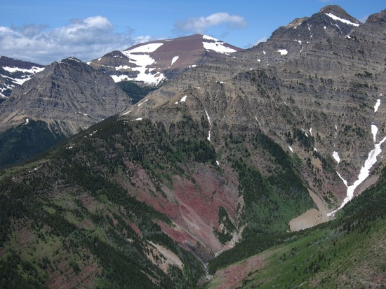
Clougarvan (just left of centre) and Dungarvan (just right of centre)
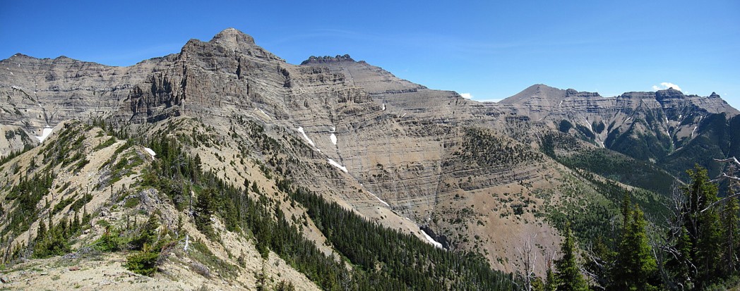
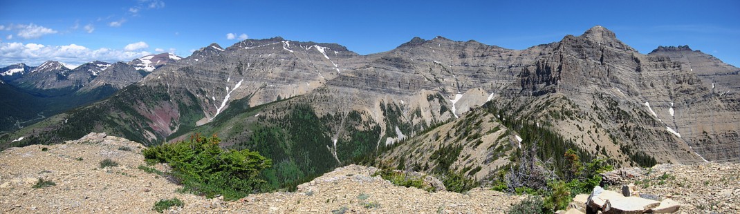
A partial panorama from the connecting ridge; Dunwey and Galwey to the right
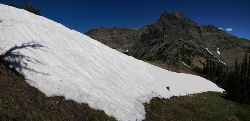
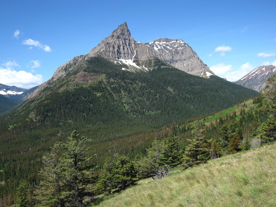
Snow and Clougarvan
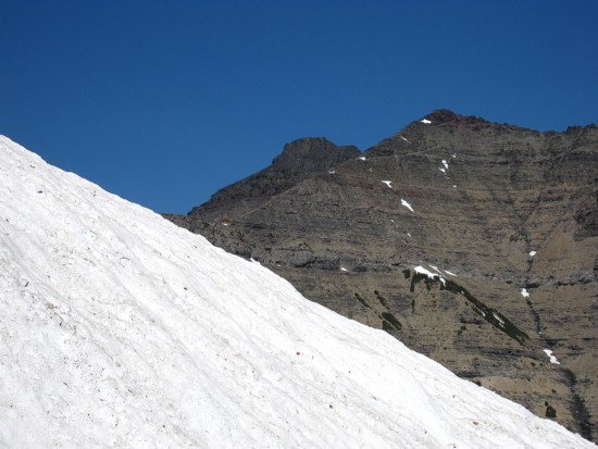
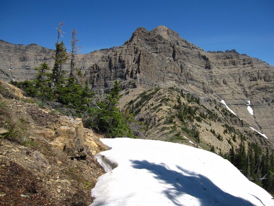
Snow and Cloudy Ridge
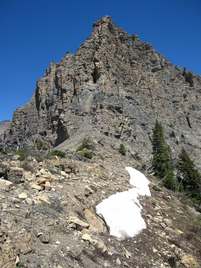
Approaching the west face
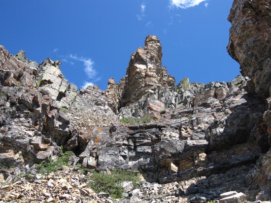
The steep terrain and pinnacles of the west face
Traversing around to the south
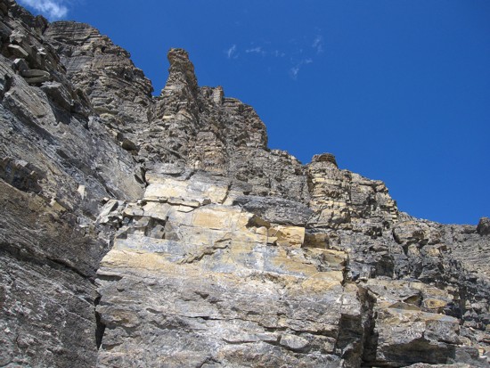
Same as above