Mount Collembola attempt
November 8, 2003
Mountain height: approx. 2,750
m (9,020 ft)
Elevation gain: approx.
1,350 m
Ascent time: 5:45
Descent time: 2:35
Hiking with
Mark.
I thought that this hike/scramble would be an easy affair, especially
given the perfect weather conditions – completely clear sky, no wind, and
temperatures ranging from -10 to 0 degrees Celsius. I thought wrong….. again!
Wearing our new
winter hiking boots, that are reported to be good to -50 degrees Celsius, we
started the hike along the Centennial Ridge hiking trail, in a shallow layer of
new snow. As we gained elevation, however, we snow became increasingly deep and
travel increasingly slower. About an hour and a half in, I made a terrible
navigational error that took us off the wide trail and into dense forest. We
realized my mistake after about 15 minutes and ended up wasting another half
hour and an enormous amount of energy bushwhacking back to the trail.
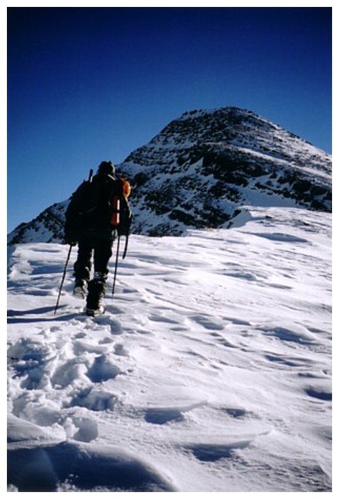
Finally, the
ascent route up Collembola came into view. We thought that the summit seen here
was the true summit, but again we were dead wrong. The ascent of the
snow-covered, steep slope was long and physically brutal. The fresh and
unconsolidated, one to two feet of snow was very difficult to negotiate and
snowshoes would not have helped. By the time we had made it to that first (and
one of many!) false summit, we were absolutely drained physically.
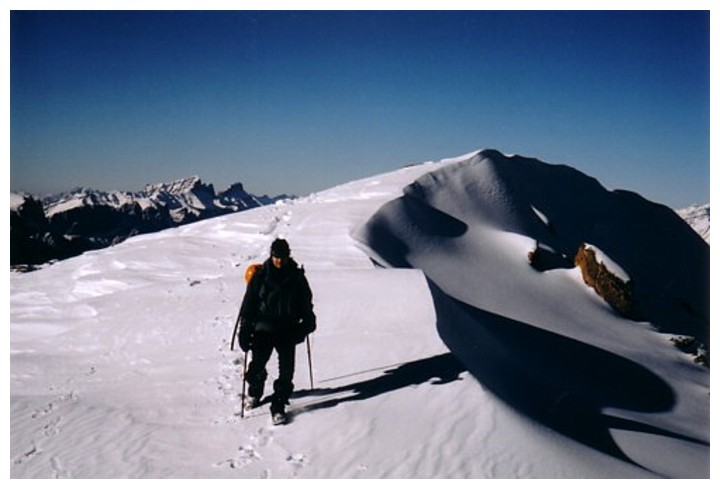
After several
more false summits, the true summit finally came into view, but it was still a
long distance away and the daylight hours were rapidly approaching their end.
We continued on for a while, however, it became obvious that the summit was not
going to be achieved today. We stopped at a peak, about 500 m before the summit
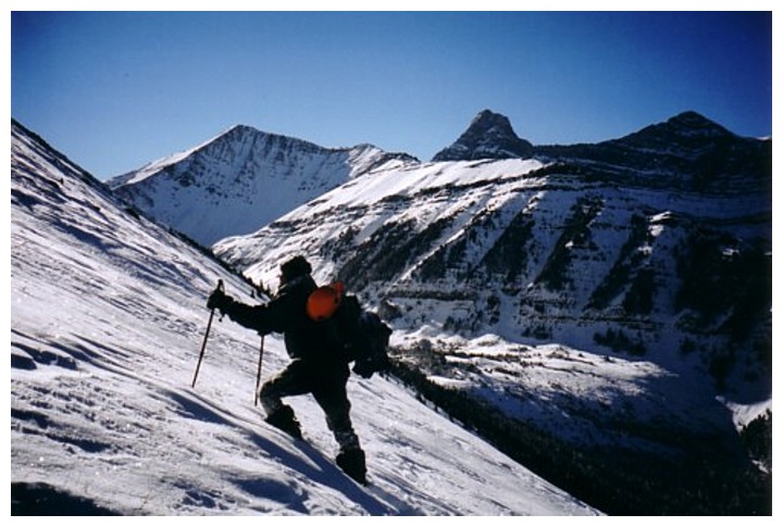
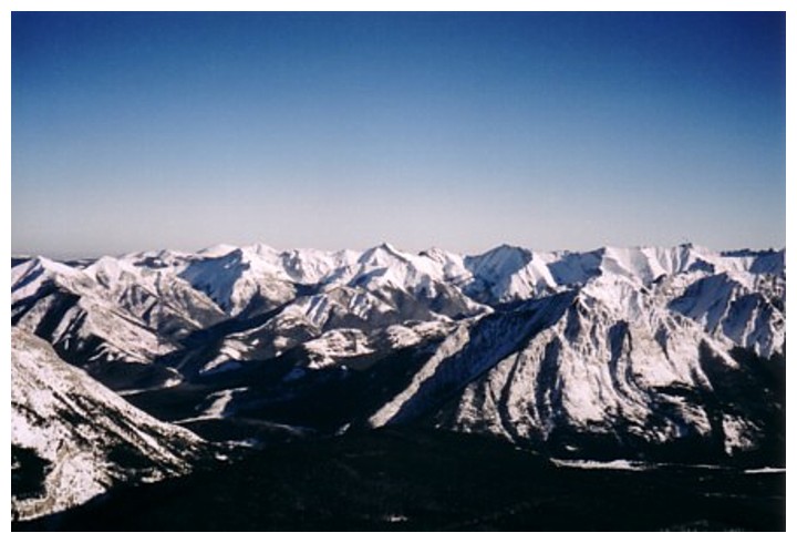
block, and took a very well-deserved break. The winter scenery was stunning.
Obviously, the four peaks of Mount
Lougheed dominated that
panorama to the west. Also, of note were Mount Allan,
Mount Bogart, Fisher Peak,
Mount McDougall, Old Baldy Mountain, the Wasootch area, Mount Lorette,
Mount McGillivray, Pigeon Mountain,
and The Three Sisters.
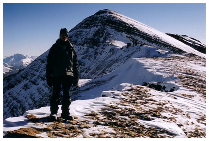
Although the
descent was considerably easier than the ascent (taking less than half of the
time), it was also brutally long and exhausting. This trip definitely belongs
in the category of “Our most grueling days in the mountains”. I can’t wait to
go back and make the summit!
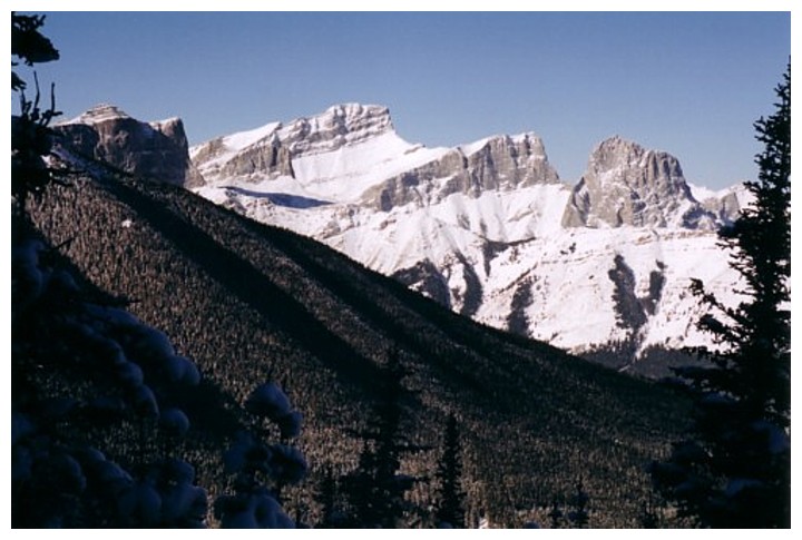
The Three Sisters
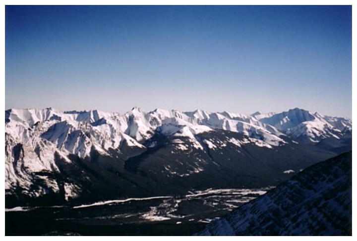
Looking over to the McGillivray/Skogan/Lorette massif
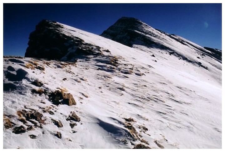
Wind-blown, hard snow on a wonderfully scenic ridge
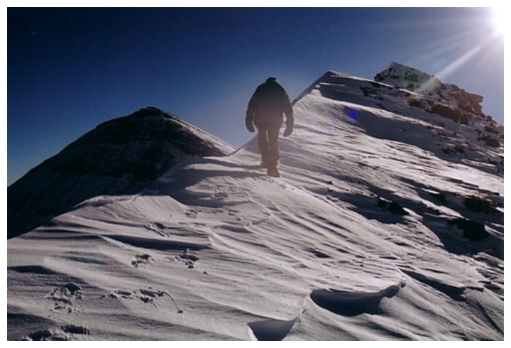
Lots of false summits
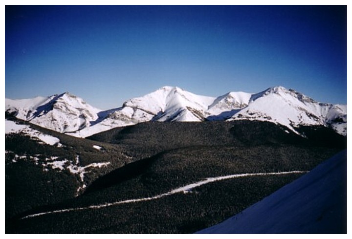
Mount Allan, Wind Mountain, and the third peak of Mount Lougheed
More terrific snow scenery
 End of the line for the day
View to the east
View to the southeast. Fisher Peak at the right.