Mountain height: 2,378
m (7,802 feet)
Elevation gain: 1,040
m
Ascent time:
3:45
Descent time:
1:40
Solo scramble.
I took the
moderate-rated route up Tick Ridge (I’ll save the difficult one up Bear’s
Hump for when I have someone there to catch me when I fall!). At the beginning,
I stayed over to the right side of the ridge, going through steep forest. In
retrospect, in order to eliminate some annoying bushwhacking, the left side,
right near the edge, might have been preferable.
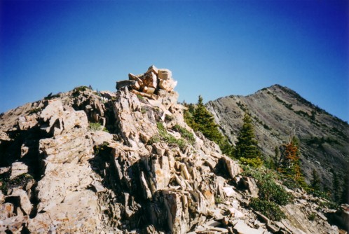
At the top of
Tick Ridge, I looked at the next section and was horrified to see an exposed row
of rock pinnacles that looked quite terrifying. Fortunately, Kane also describes
a nice “chicken” route, along the base of the pinnacles and that’s the one
I took. This is where I encountered my first difficulties of the day. I
basically traversed all the way to the end and when it came time to regain the
ridge, I simply couldn’t find an easy (or moderate) way up. I tried route
after route and was stymied each time by steep, exposed terrain. I spent about
45 minutes going up a little and then back down before I found a manageable
route up. Once on the ridge, the remainder of the route was relatively easy,
although, again, I did have to back-track a couple of times to find easier
paths.
The summit
view was quite respectable, however, after my marathon day yesterday and
today’s difficulties I was both physically and mentally fried and was simply
looking forward to an easy descent, down the alternate route in Kane’s book.
Well…it started off easy anyway! I still don’t if I found the suggested
route down, but I was all over the place. I tried the far left side, came to an
impasse, climbed back up, traversed steep terrain to the right and after 20
minutes of wandering back and forth, found a decent route down to the streambed,
where I had to boulder hop for another 20 minutes out to the road. My plan to do
another scramble later in the day was well out the window, at this point, and I
went straight home.
Even with the
problems, the scramble had some nice climbing sections on pretty solid rock and
the terrain throughout was very interesting. I’m sure I’ll return to do the
more difficult route…someday!
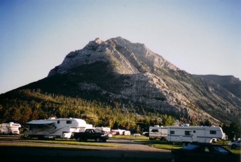
Mount Crandell, as seen from the town campground
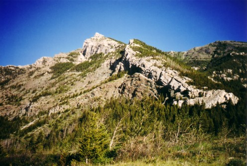
The Tick Ridge ascent route
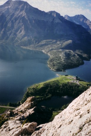
Looking down at the Waterton Lakes
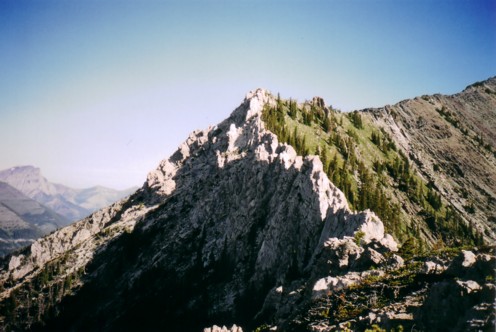
The more exposed section of the ridge; the easy (?) ascent route goes along the left side of the ridge
Passed the tricky part, looking at the summit, at the right
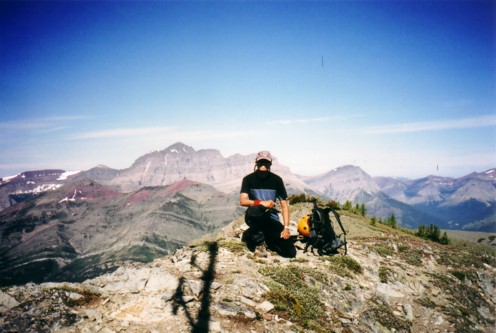
At the summit
LOG