West
summit of
Drywood Mountain, Drywood Mountain
attempt
–
Mountain height: 2,514 m
(8,246 ft) (we made it to 2,324 m, but reached a highpoint of 2, 506 at the west summit)
Elevation gain:
784 to west summit, approx. 340 m towards the true summit
Roundtrip time: approx.
Scrambling with Linda.
Although we got our wires crossed regarding the
purpose/goal of this trip, Linda and I nevertheless, had a great time on this
very scenic mountain in the Castle Crown area. With an access road that
supposedly goes all the way to Bovin Lake (at the base of the west ridge of
Drywood Mountain) now open, we believed we could drive to the lake, gain the
west end of Drywood’s ridge, and then hike the long ridge heading east to the
summit. We were disillusioned to find, however, that the gravel access road
eventually degraded to a boulder strewn, heavily rutted, and very narrow trail
that was okay for 4 by 4’s, bikes, and horses, but absolutely awful for low
clearance vehicles, such as my Civic. After dragging and scraping the bottom of
my car over the rocky terrain for a short distance, we were forced to pull over
to the side and proceed on foot. Since I needed to be back in
After hiking the trail for a couple of kilometres, we decided that going all the way to the lake was going to be too much and picked an easy-looking ascent line to the ridge. This proved to be a great decision as we ascended a stunningly beautiful, rocky gully. The variety of colours of the rock were phenomenal, and yet again we had to wonder why this area is not as popular as Waterton and Crowsnest. The gully eventually ran out and we started a long and exhausting slog up a red argillite slope (beautiful to look at and scree-surf down, but not so good for ascent).
With some nasty weather coming in from the west, I decided
to go ahead and gain the ridge to take a few photos before we were enveloped in
clouds. I made the ridge only a few hundred metres east of the west summit and
headed up for a better view. Though quite cloudy, the panorama from the top was
terrific – colourful
The best course of action, at this point would have been to
relax, take in the fantastic scenery, and then enjoy an unhurried descent. Of
course, I still had summit fever and although the top of
The first part of the traverse was dead easy – that’s
because it was all downhill!...and of course, what goes down must come up (when
traversing from one peak to another, anyway!). The process of losing and then
regaining elevation, slowed us down considerably. It didn’t help matters that
the scenery was so beautiful that neither one of us wanted to stop. Eventually,
it became evident that, although we were getting close to the summit, our time
deadline would prevent us from reaching that goal, and we regretfully had to
turn around. Nevertheless, the scenic ascent gully, reaching the west summit,
the outstanding variety of colours all around, and the beautiful views from the
ridge, made for an incredibly satisfying and wonderful day out.
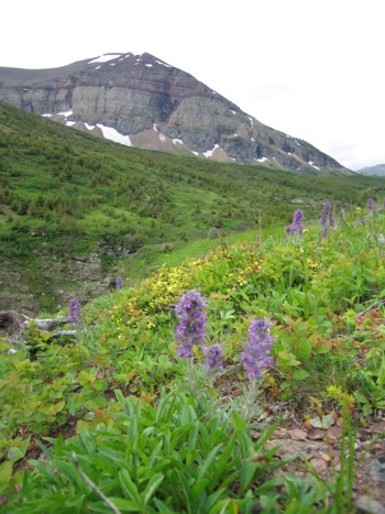
Loaf Mountain and flowers; notice the flowers are yellow on Linda's website (http://lbreton.sasktelwebsite.net/drywoodridge), how 'd they do that???
Our line of ascent right up the middle
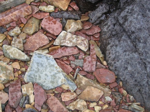
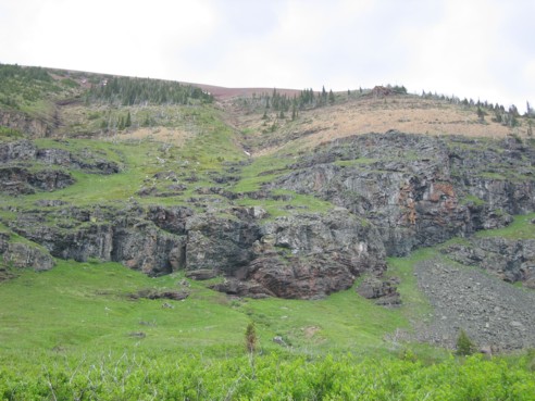
Typical rock colours on the mountain
Linda ascends a red argillite scree slope to the ridge
Stunningly beautiful colours on Pincher Ridge
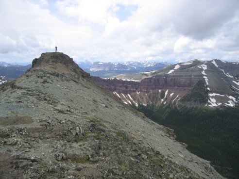
Linda at the west summit
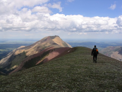
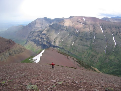
Starting the traverse to Drywood's true summit (photo by Linda)
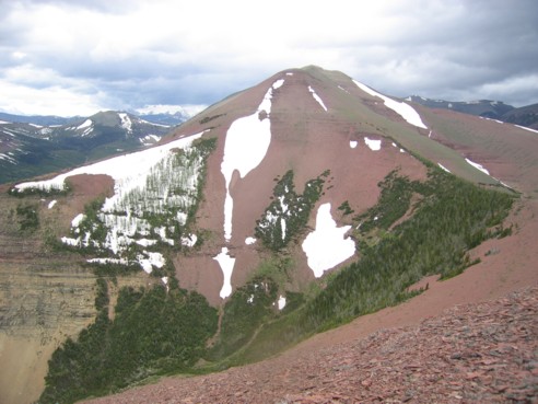
Looking back at the west summit
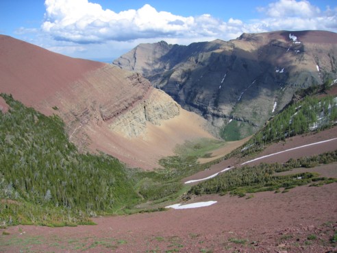
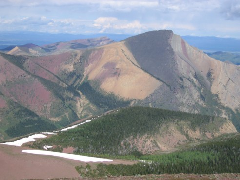
A very scenic hanging valley on the mountain
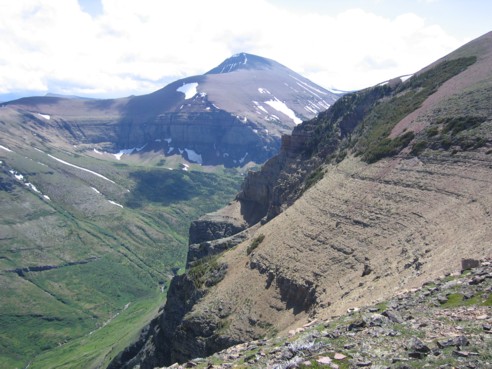
Loaf Mountain
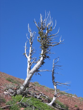
Some trees