 Solo scramble.
Mountain height: 2877
m
Elevation gain: 1170
m
Ascent time: 5:05
Descent time: 3:45
Solo scramble.
Typical that one of the piles of crap on the Continental Divide would ruin a string of amazing recent ascents. Actually, the Etherington trip was a pretty decent scramble – I’m just bitter because the moment I arrived at the summit, low-lying clouds blanketed the area, ruining a potentially terrific view.
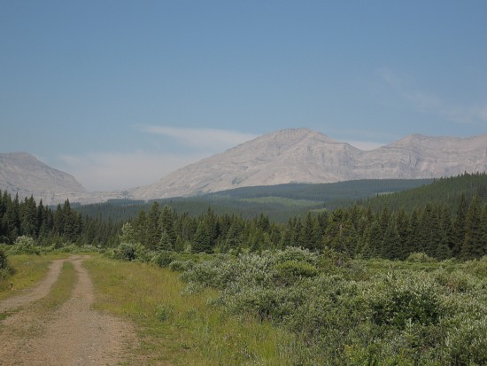
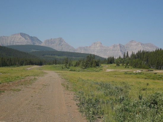
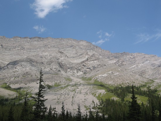
 After biking, hiking, and bushwhacking to the base of the
mountain, I decided to take a route in between and two descriptions I had. Rick
Collier’s went to the Scrimger/Etherington col first (because Mr. Collier went
to ascend Scrimger first) and the “Green book” described an enjoyable 4th
class climb via the SE face. I therefore went out onto the Southeast face, but
not too far away from the easier route via the col. Throughout, there were many
opportunities to do some difficult scrambling on surprisingly good rock (why
couldn’t the west side of the mountain boast the same?!)
After biking, hiking, and bushwhacking to the base of the
mountain, I decided to take a route in between and two descriptions I had. Rick
Collier’s went to the Scrimger/Etherington col first (because Mr. Collier went
to ascend Scrimger first) and the “Green book” described an enjoyable 4th
class climb via the SE face. I therefore went out onto the Southeast face, but
not too far away from the easier route via the col. Throughout, there were many
opportunities to do some difficult scrambling on surprisingly good rock (why
couldn’t the west side of the mountain boast the same?!)
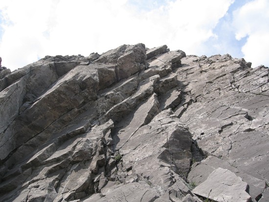
I reached the ridge about 1 km from the summit and then
slogged up horribly tedious scree towards the top. All the time, I could see
bad weather approaching rapidly from the southeast and I picked up my pace to
try to beat the clouds to the top. I lost that race convincingly. The only peak
I saw upon reaching the summit was
This time I went down to the Scrimger/Etherington col. Even the descent to the col was tedious and time-consuming on the ankle-twisting scree. I think a decent view would have eliminated all my griping and general dissatisfaction with this trip.
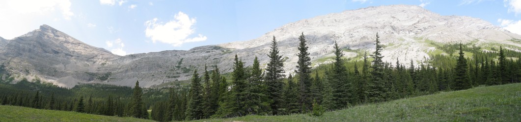
L to R; Farquhar, Unnamed, Holcroft, and Scrimger
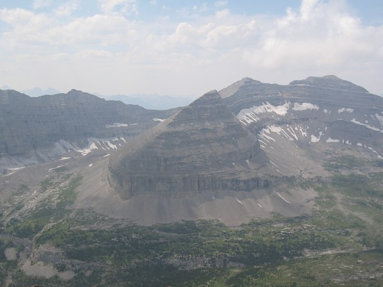
Scrimger (left) and Etherington
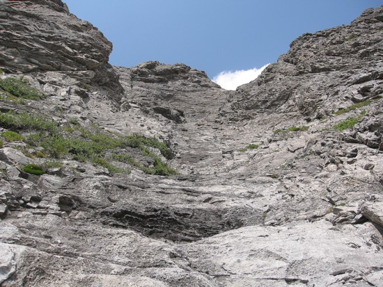
The southeast face of Etherington
Typical terrain on the northeast face
Same as above
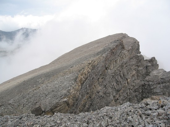
Approaching the summit at the same time the bad weather is
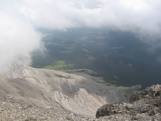
Here come the clouds
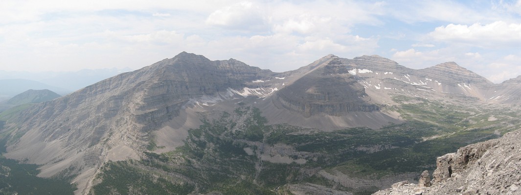
The only decent view I got; the only named peak here is Courcelette Peak, right of centre, background