
Mount Galwey II, Mount Dungarvan II – August 9, 2007
Mountain height
Galwey:
2348 m
Dungarvan:
2566 m
Total elevation gain:
approx. 1500 m
Ascent time to Galwey: 2:20
Traverse time to Dungarvan: 3:40
Descent time from Dungarvan: 3:45
Scrambling with Kevin.
We actually planned on doing an ascent in the Crowsnest
area, but neglected to consider that the whole area might still be closed to the
public because of extreme dry conditions. It was and therefore we backtracked
and headed to south to Waterton. I suggested to Kevin an ascent of
We started the trip at 11:30 am. Still trying to recover
from being assaulted for twenty straight hours on
The only significant challenge between the north summit of Galwey and the higher Unnamed summit farther north appeared to be a huge vertical rockband along the ridge. We had brought with us a rope and climbing gear, but in the interests of time looked for a non-technical route around it. There was one and after regaining the ridge we continued easily to the Unnamed highpoint at GR850475.
Both concerned about threatening weather conditions and the prospect of another “Burney” descent, we picked up the pace quite a bit for the remainder of the traverse. It took us one hour, forty minutes to get from Unnamed to the summit of Dungarvan. Just before the summit I was pleasantly surprised to stumble onto the chewed up and tattered green sling that Mark, Dan, James, and I had used two years earlier to rappel off the summit block. After removing the sling I continued to the summit. Kevin had already made the top and was on his way down. Low clouds from the east were pouring rapidly over the mountain and we needed to lose some elevation fast.
After
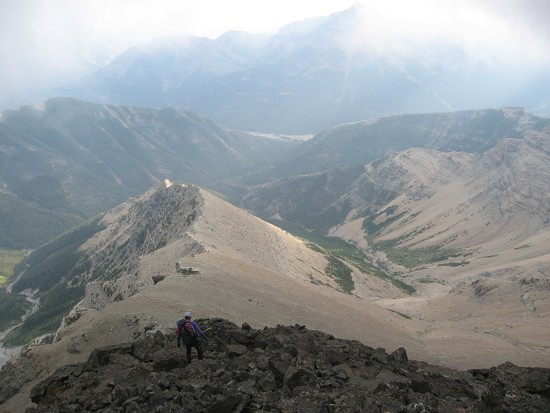
Kevin hikes towards Galwey
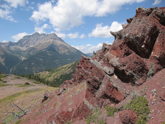
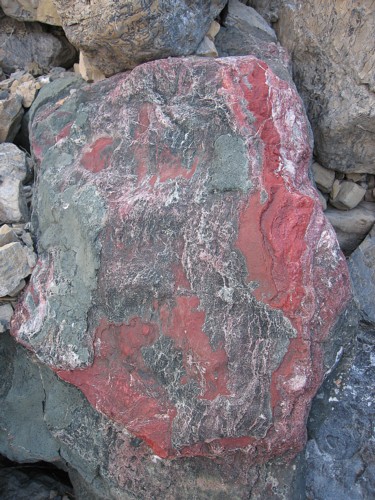
Red argillite, with Mount Blakiston to the left
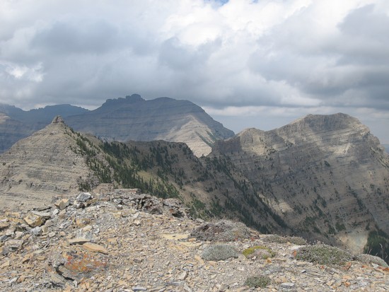
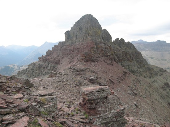
At the summit of Galwey looking towards the traverse;
Unnamed
is at the right and Dungarvan is just left of centre

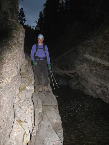
Kevin comes back across the ledges
On the ridge with the summit of Galwey behind
Interesting blocks on the ridge
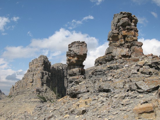
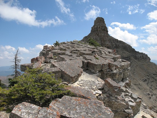
A couple of pinnacles and the steep rockband at the left
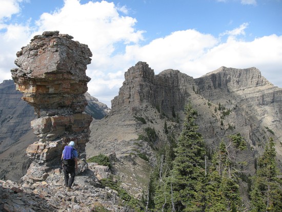
Kevin hikes past the pinnacle; summit of Unnamed at the far right
Looking back at the pinnacle (centre), the south summit of
Galwey (left) and the north summit of Galwey (right)
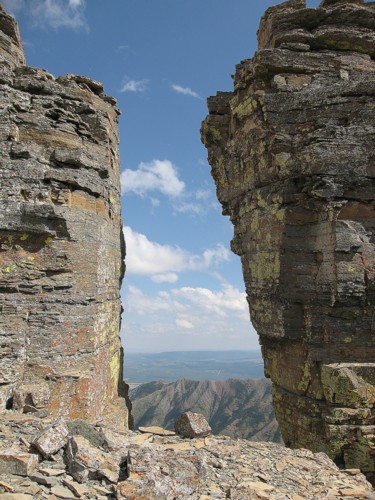
A big gap in the ridge
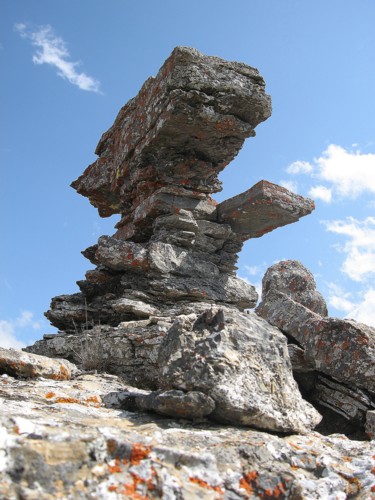
Very interesting, almost humanoid rock formation
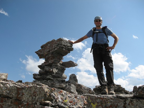
Kevin and his new buddy
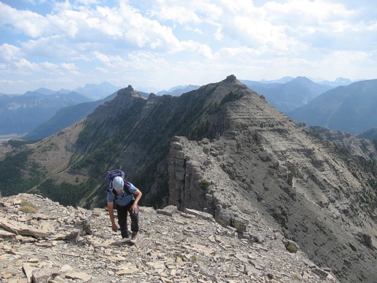
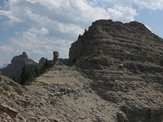
Almost at the summit of Unnamed, with the two summits of Galwey behind
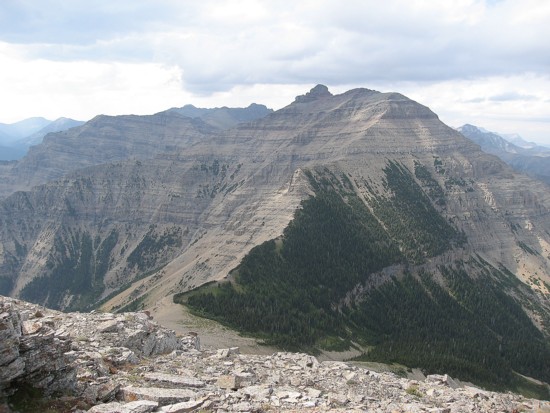
The route to Dungarvan
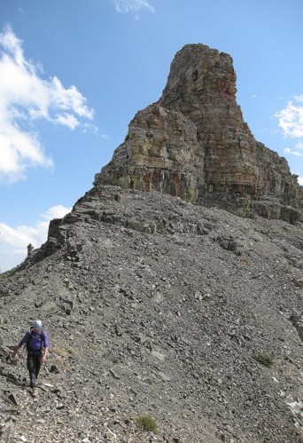
The summit block of Dungarvan
Kevin starts down from the summit
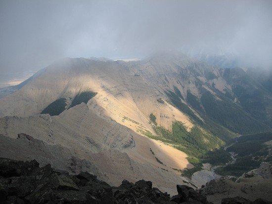
The clouds start to come in
A colourful rock
Kevin hikes out alongside Lost Horse Creek