Gap
Peak III (via southwest climbing route and southwest ridge) –
May
19, 2007
Mountain height: 2440 m
Elevation gain: 1200
m (+200 m)
Ascent time: 7:35
Descent time: 3:50
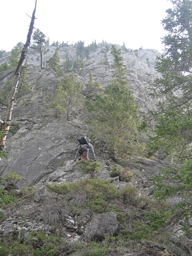
Climbing and scrambling with Mark.
Thank the Good Lord for firmly rooted trees.
We spotted this potential route up the southwest side of
Initially, we thought we could scramble much of the route
but we roped up just in case. Good thing too – not more than 5 metres up the
face we encountered terrain that would require placing protection. Mark took the
first lead, making his way up to a tree, where he set up a bomber belay (what
climber doesn’t worship a good tree belay!). On the next pitch we were forced
over to the right side of the face, directly over the vertical walls of
We took turns leading, making our way slowly up the face. Mark definitely faced a bigger challenge than I, doing the entire ascent in his scrambling boots. I had my approach shoes and was extremely grateful of that fact on a couple of the more difficult moves. Most of the route was difficult scrambling, but there were a couple of technical moves (probably around 5.4) on each pitch. Even without the technical moves, this route was quite exposed throughout and the rope and ideal belay situations were a Godsend – certainly we wouldn’t have progressed more than 10 metres up the route without them.
Three hours and approximately 150 vertical metres up,
admittedly we had both had more than a fair dose of climbing and exposure. Just
in time the route ended, leaving us on the southwest ridge of
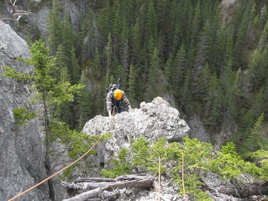
Mark starts up the route
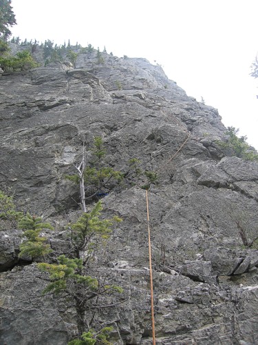
The first pitch
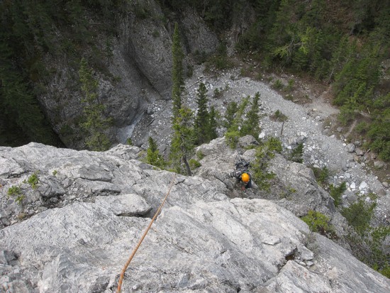
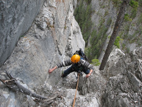
Mark prepares to belay me up the first pitch; Grotto Creek below
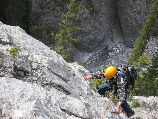
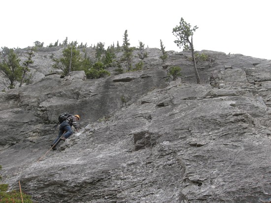
Ascending pitch 1
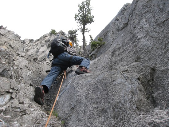
More of the ascent
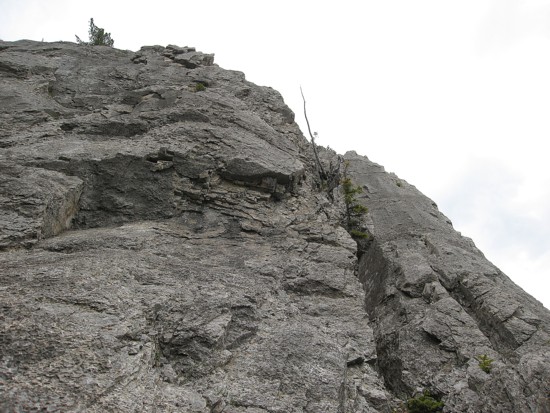
Higher up the face
This terrain was too steep, however Mark was able to ascend the large crack near the right
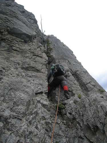
Mark ascends the body-sized crack

More of the same
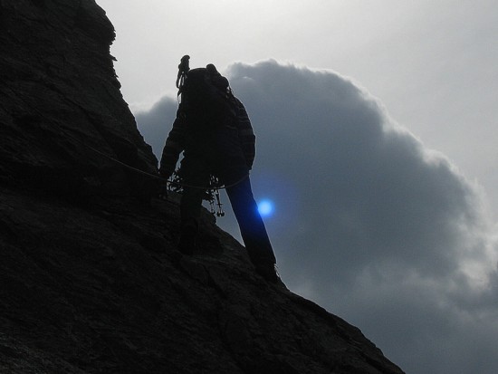
The sun turns blue (must be global warming!)
Nearing the second last pitch
Starting up it
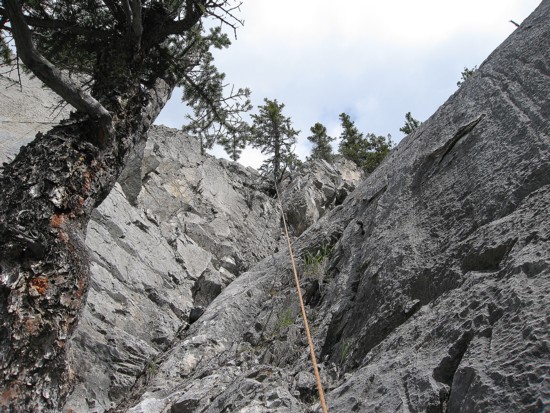
Looking up the pitch; I'm cowering behind the tree where the rope leads
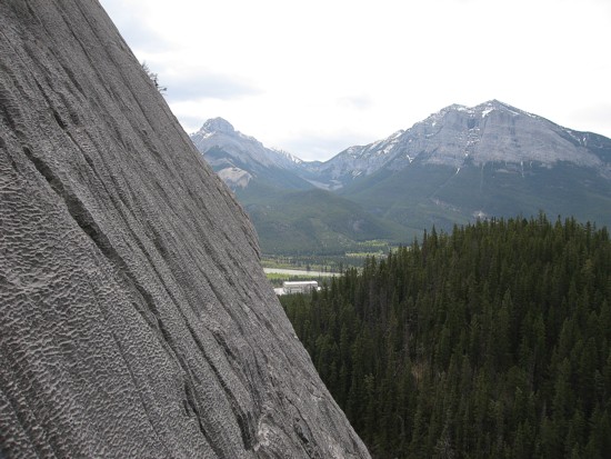
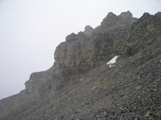
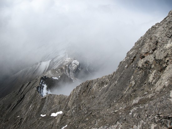
Typical angle of the terrain on the face; McGillivray and Pigeon (right) in the background
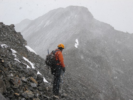
The ascent was generally scenic, though not half as much as our first ascent in 2003. As well, along the way there were several unexpected surprises – good and not so good. The first surprise was running into Wietse, Kelly, and Sam, when our southwest route joined up Bob Spirko’s popular south ridge route (this was a good surprise). They had already visited the summit and were on their way down – their timing was fortuitous, to say the least. That’s because shortly after, a “not so good” surprise was to unleash its fury on the mountain – a violent blizzard. We weren’t expecting great weather, but we weren’t expecting this either.
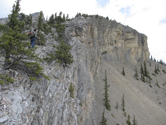
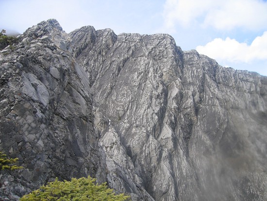
The first of the two impressive cliffbands of the south ridge
Approaching the second cliffband
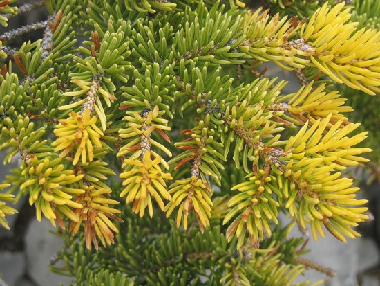
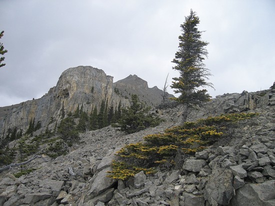
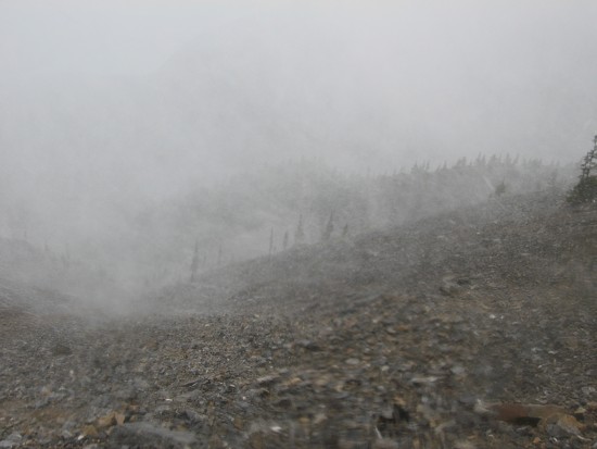
Interesting colours on the evergreens

Right before we ran into Wietse, Kelly, and Sam
We decided to push on. Maybe the storm would pass, maybe it
wouldn’t. It didn’t. We did get a brief glimpse of the connecting ridge to Mount
The weather takes a turn for the worse
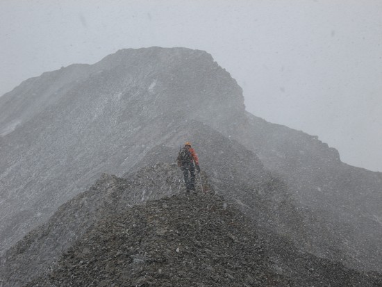
Mark, barely visible (the blue blur) in the blizzard
On the ridge, taking shelter from the wind
The final ridgewalk begins
The 30 seconds of clearing just before reaching the summit
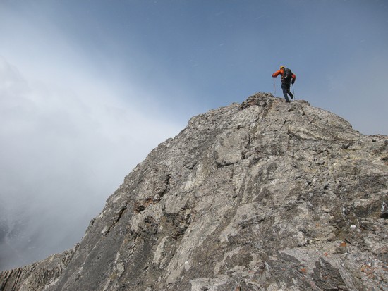
A few steps away from the top
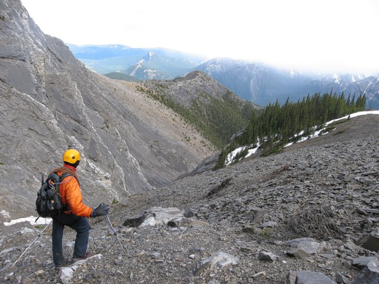
Our summit stay was short because we simply wanted to get off the mountain as soon as possible. A good friend had recently suggested an alternate descent route that involved descending the ridge east of Gap. Unfortunately, for the life of me, I couldn’t remember the exact details and so we decided to descend scree slopes to the southeast of the summit and then try to follow the canyon out. Initially, this was a terrific route. We lost elevation very rapidly and the storm finally blew over, revealing some beautiful scenery. Continuing along a pleasant ridge, we worked our way down to the creek below, where the honeymoon abruptly ended. The creek turned into a narrow and steep canyon. Had it been dry we could have rappelled down it, but there was a torrent of water running down. We had no choice but to ascend to the ridge to the east and follow it down.
Part of the
alternate descent route; we should have descended
into the valley and then up to the ridge in the centre
Looking back at the part of the east ridge
At hour 11 of the trip, the 200 vertical metre elevation gain necessary to gain the ridge just plain sucked! Nevertheless, it did offer more pleasant views and a well worn trail at the ridge top provided an easy escape off the mountain. Overall, a pretty diverse day – some climbing, some scrambling, a blizzard, some successful route-finding, some failed route-finding, some good decisions, some not-so-good decisions, some pain, but lots of pleasure – who could ask for anything more?