Gap
Peak attempt via southeast ridge
– December 23, 2007
Roundtrip time: 6:50
Scrambling with Mark.
We saw this interesting ridge
while taking an alternate descent route off Gap
Peak earlier this year. A good friend informed us that he had tried the
ridge, but didn’t have a rope. He soon reached terrain that might require one
and wisely backed down.
We left the city perhaps a
little too early. In the dark, it was difficult to discern where the correct
ridge was. We picked the most obvious one and started up. It turned out to be
the ridge east of the one we intended to be on, but they both merged into one
higher up so this wasn’t a big concern.
The only real concern was the viciously cold wind that greeted us upon reaching the upper ridge. We continued to a point where the ridge narrowed and a rope was a good idea. Unfortunately, it was too cold to do anything technical and so when a steep rockband reared up in front of us, we had little choice but to back down. Good thing, as a rather nasty storm moved in from the west during the descent. We’ll chalk this one up as a good reconnaissance mission.
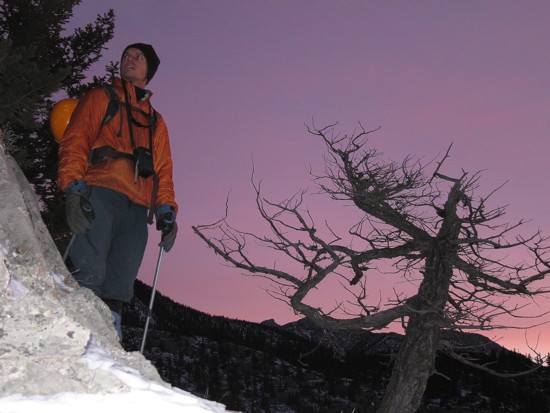
Interesting sky colours in early morning
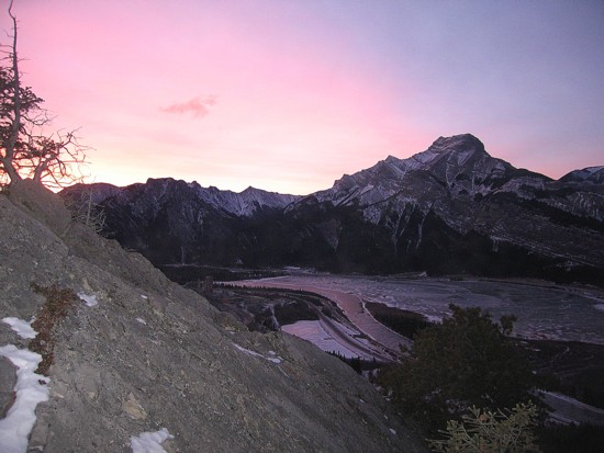
Same as above; Mount McGillivray to the right
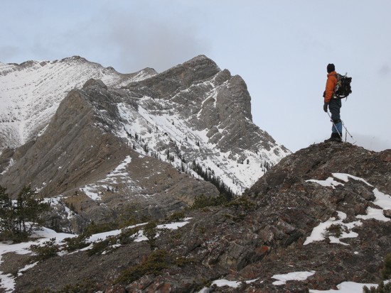
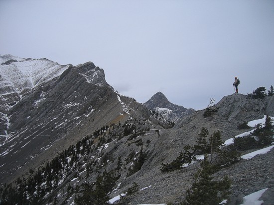
Looking at the upper Ridge; the summit of
Gap Peak is the highest at the left; the proposed
route follows the ridge, first going left then right and then left again to the summit
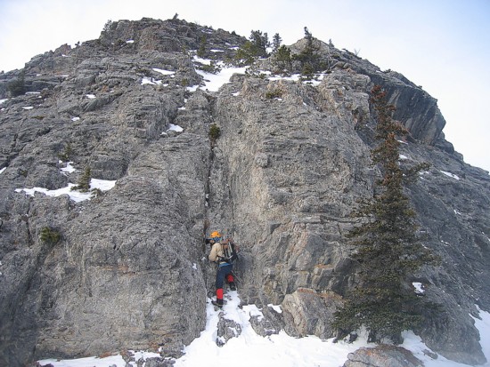
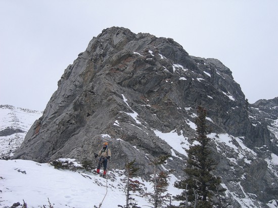
Mark checks out a potential ascent route up a rockband; we ended up going around
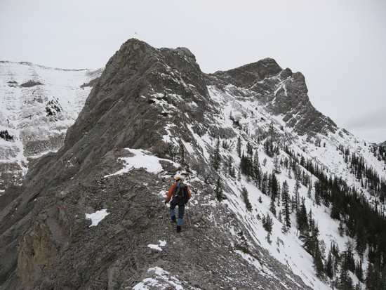
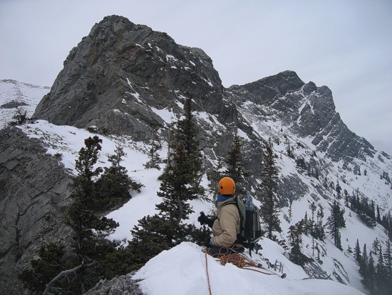
Mark on the ridge, with Mount Fable in the distant centre
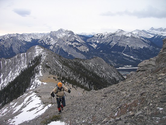
Mark comes up the ridge
Approaching the point where the ridge narrows
Small trees along the ridge provided good belay positions
A wider section of the ridge
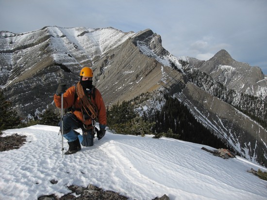
The end of the line
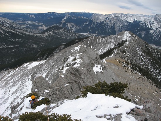
Back at the first highpoint where the ridges meet
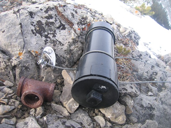
Surprisingly, there was a very large
canister bolted to the rock at the highpoint where the ridges meet;
no register, just a couple of rocks with writing on them; we left the canister,
but took the rusty piece of pipe
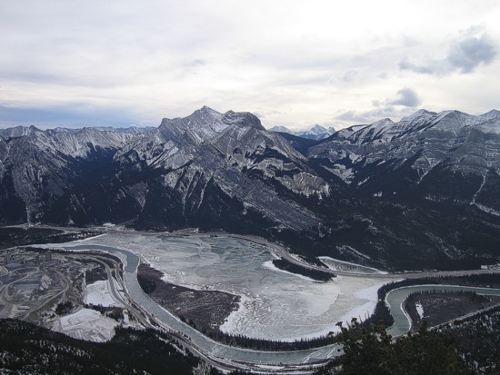
Mount McGillivray provides a backdrop for the Bow River and Lac Des Arc
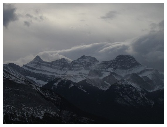
Wind Mountain (left) and the three peaks of Mount Lougheed (and a storm coming in from the west)