Mountain height: 2,458 m (8,063 ft)
Elevation gain: approx.
1,000 m (we came up about 200 m short)
Roundtrip time: 6:55
Scrambling with Linda Breton.
I think we’ll have to call
Linda, “Queen of the Castle Crown”. After a terrific trip up
A forty minute hike along Mill
Creek, followed by an hour traversing the lower slopes of
The ascent was straightforward and easy at the beginning, but increasing elevation, brought increasing wind speeds. About one third of the way up the scree slope, we were both getting hammered by wind gusts that knocked Linda off her feet three times. Add a constant pounding of blowing snow from the top of the ridge to that, and you have less than ideal ascent conditions. We persisted, probably far longer than we should have, to the start of the final ridge walk to the summit. Here, there was little choice but to retreat. The insistent wind was not going to let up, clouds were consuming every peak around us, visibility was low, we were both freezing cold, and the cloud-filled summit view was not nearly enough to override the potential danger of continuing. There was little debate and we made a thankfully rapid descent, scree-surfing down the finely ground red argillite rock. Not making the summit was a little disappointing, but when there’s no view waiting at the top, what’s the point? – we both would have been compelled to return anyway – which is exactly what we’ll be doing.
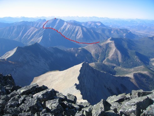
A view of Mount Gladstone and our ascent route; the red dot marks the summit; photo taken from the summit of Victoria Peak on September 25, 2004;
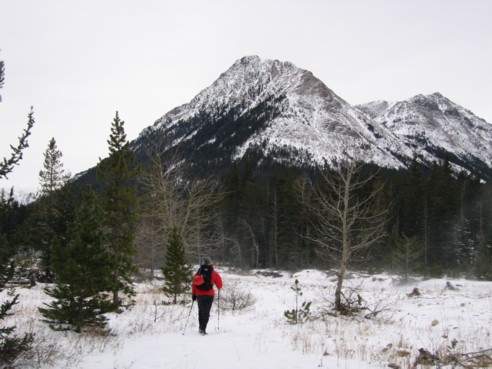
Linda, hiking along Mill Creek; Gladstone is out of the picture to the right
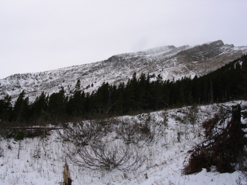
The ascent route follows the skyline to the summit at the right (photo by Linda)
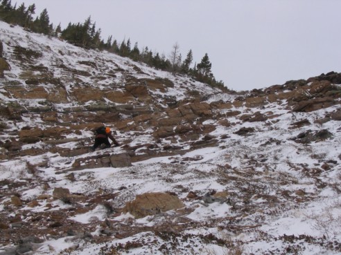
Ascending a minor rockband along the way (photo by Linda)
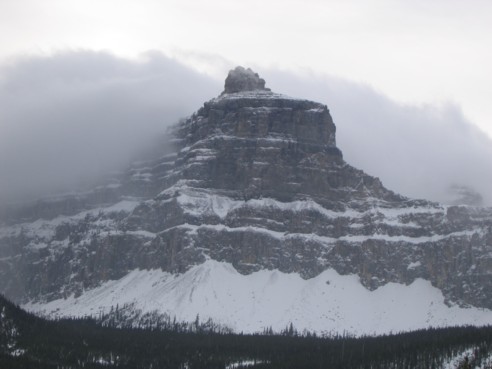
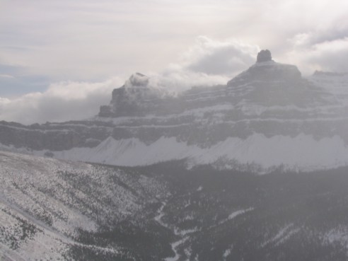
Castle Peak
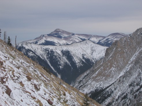
Looking towards Prairie Bluffs
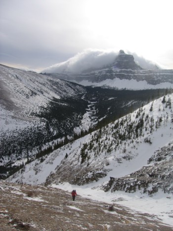
Linda, ascending scree slopes, with Castle Peak behind; Windsor Mountain is hiding behind the clouds
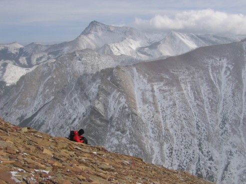
Prairie Bluffs and Victoria Peak (right)
A brief clearing reveals Windsor Mountain (photo by Linda)
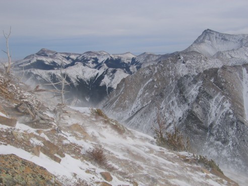
Linda stops to take a rest from the constant pounding of the wind; Victoria Peak behind