Mount
Glasgow
–
Mountain height:
2,935
m (9,629 feet)
Elevation gain:
1,310 m
Ascent time:
Descent time:
Solo scramble.
I’ve always
been reluctant to do the scrambles in the
For me, the
crux of the trip was deciding where the correct ascent drainage was. I found the
first drainage after the bridge and was ready to start the ascent, but there no
cairn and it didn’t seem to match Kane’s description. After riding 5 minutes
further, I came to a very obvious drainage, with a large cairn, and a long stick
protruding from it.
Once I was in
the correct drainage, the remainder of the ascent was a no-brainer and quite
easy (bring your ski/trekking poles - no hands-on scrambling necessary for this
one). Judging by the numerous amount of trails, this must be a fairly popular
ascent. The scenery was fairly decent, with good views of Mounts Romulus and
Remus throughout. The summit view was very nice – all the mountains of the
Opal and
Lacking time,
energy, water, and motivation, I really didn’t even consider the attempt to
traverse to
The descent
was very easy and fast and it only took me 30 minutes to ride back to the
parking lot, as opposed to the 45 it took me to get to the drainage. Overall, a
pretty good scramble (call it a steep hike) with some interesting scenery and
great summit views.
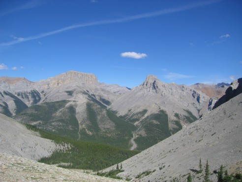
Looking back at Mount Romulus (left) and Mount Remus (right)
The trail I took traversed quite high on the mountain and required a loss of elevation, before turning right up the slope on the right side; the summit of Glasgow is in the centre; as you can see, it was a very bright day
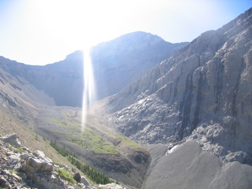
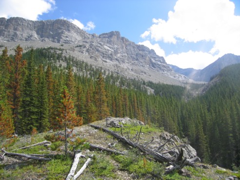
Typical scenery
The 2700 m outlier peak mentioned in Kane's description
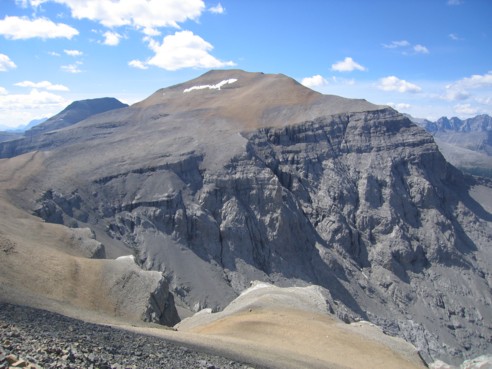
Once on the west slopes of Glasgow, you get this great view of slightly higher Mount Cornwall; Outlaw Peak can be seen to the left
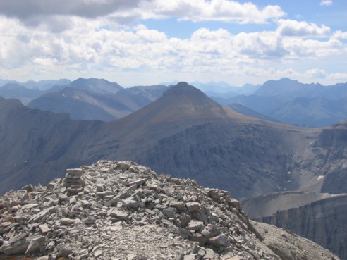
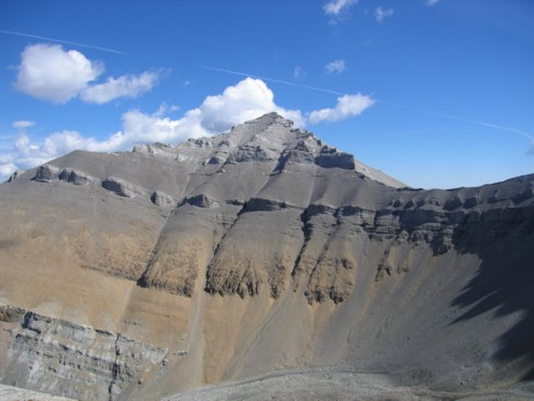
A view of Banded Peak, as seen from the summit of Glasgow
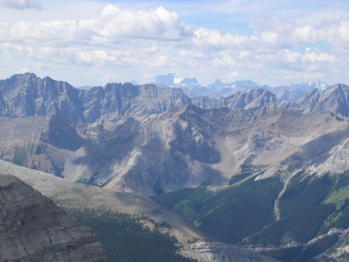
Looking to the west; the snow-covered peak in the distance is Mount King George (3,422 m)
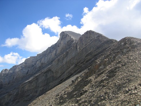
Looking back at the summit of Glasgow
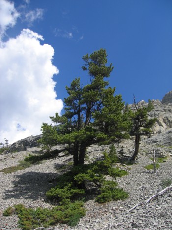
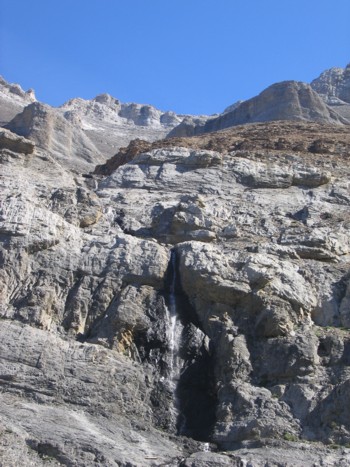
A tree
Looking back at the route from near the beginning of the drainage; Glasgow's summit is hidden behind the outlier peak
HOME
SCRAMBLES
MOUNTAINEERING
OTHER
TRIPS
PHOTO
GALLERY
LOG
FAVOURITES
LINKS