Goat
Mountain height:
2420 m
Elevation gain:
1070 m
Ascent time: 4:30
Descent time:
4:20
Scrambling with Mark.
A day where everything seemed to backfire. Surprisingly, it also turned out to be a thoroughly enjoyable trip on a wonderful mountain.
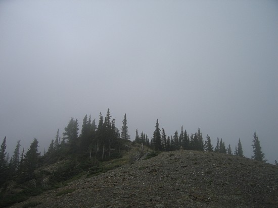
We wanted to save this trip for a “not-so-good” weather day, and the “variable cloud” predicted on the one of weather stations definitely fit the bill. Since the views would be secondary to the actual scrambling/climbing, we weren’t too concerned about a few clouds. Unfortunately, we got more than a few. In fact, above 2000 m there was nothing but cloud – ie. there were no views at all!
This route – up to the
Yamnuska/Goat col, up to the Goat ridge, traverse the ridge to the summit and
then down to
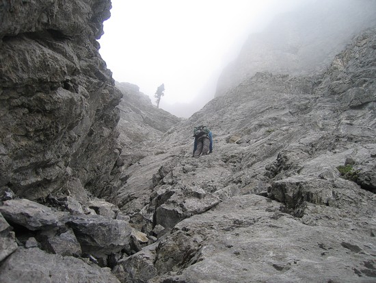
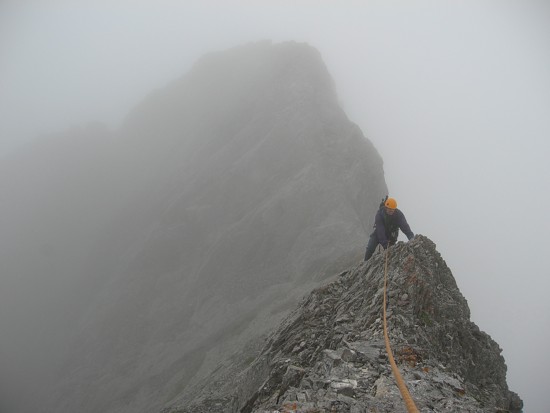
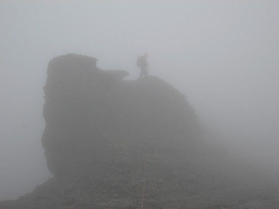
Once on the ridge, the route-finding was pretty straightforward: basically stay on the ridge or you’ll die. Actually it wasn’t that bad at all, and far less exposed than we were expecting. Perhaps the fact that we could hardly see 30 m in front of us, let alone the butt-clenching drop on the east side, attributed to our lack of “fear” on the ridge. Though we short roped the ridge, it could easily be scrambled without a rope. At one point we came upon an unusually placed bolt at the bottom of a slab. I scrambled up the slab to the surprise of double rappel rings at the top. The slab was moderate, perhaps one or two moves of difficult scrambling, but hardly required this kind of hardware. The remainder of the ascent was very enjoyable on fantastic rock. Our summit stay was no more than 2 minutes as we could see nothing and it had started to rain.
The descent, or traverse to
The grade on this ridge was surprisingly gentle and we lost elevation quickly. I was 90% sure that we would end up at the top of a cliff and have to backtrack, but the clouds lifted for a brief moment and we were both severely relieved to see trees and a drainage below. Once in the drainage, we followed it out to Jura Creek and then back to highway 1A. The thirty minute bike was not the perfect way to end the day: uphill, against the wind, and in the rain. Mark had an easy go of it, but I complained and whined all the way back.
A terrific day, even in the less-than ideal weather, on a great mountain. We’ll definitely be returning in better weather to complete the traverse and check out the views.
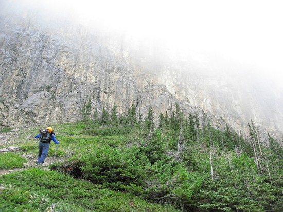
Approaching the cliffs of Yamnuska
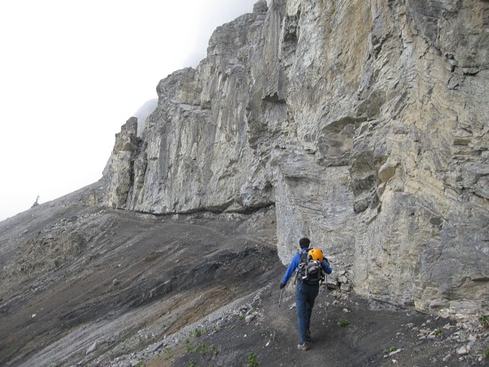
The scenic traverse below the cliffs
At the Yam/Goat col, looking towards Goat Mountain
Mark leads the rock face to the ridge
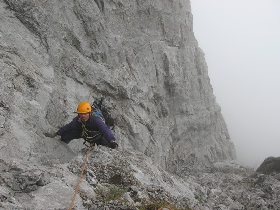
I get a nice belay
Mark takes the final few steps to the ridge
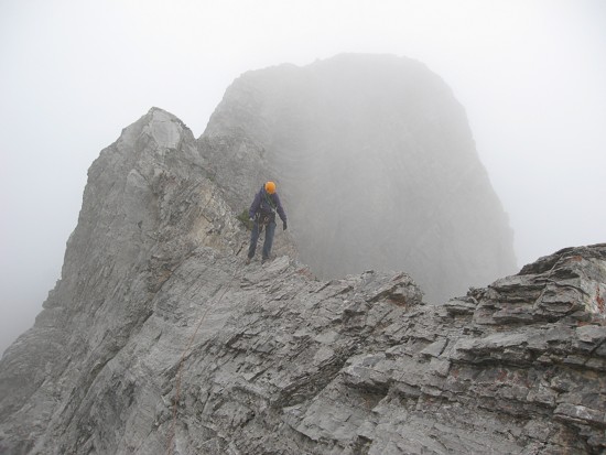
On the ridge
Mark on the ridge
Me on the ridge
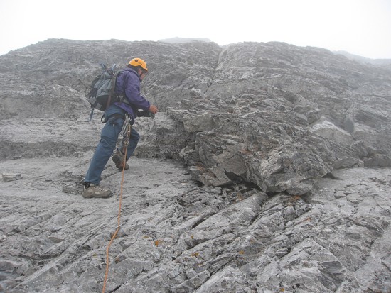
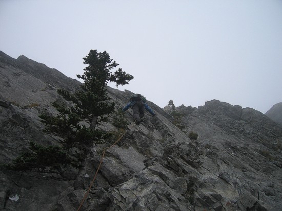
Typical scrambling
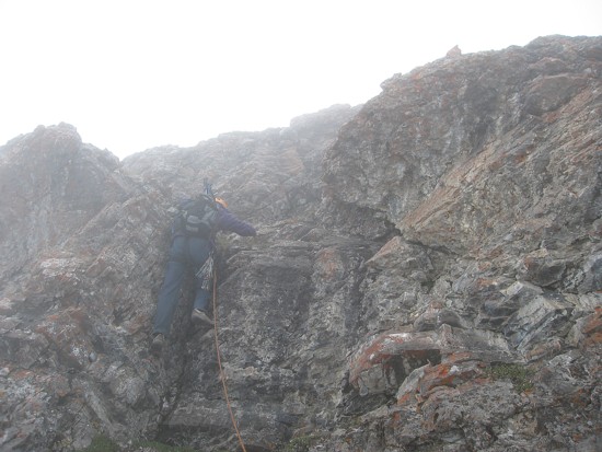
Some steep terrain, but great rock
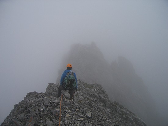
Approaching the summit; we were about 20 m apart here; the visibility was very low
From the summit of Goat, Yamnuska stands proudly to the northeast
Mount Fable peaks over Exshaw Ridge
A stunning array of peaks to the southwest - too many to name!
Disappointingly, dense clouds block the view of Calgary
and the entire province of Saskatchewan to the east
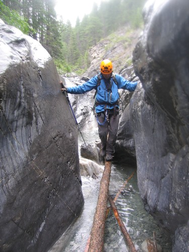
Well-placed logs in the canyon of Jura Creek allow you to keep your feet dry
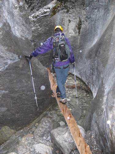
Same as above (of course, I had
already slipped and fallen
into the creek at this point, so the logs were academic)