GR369377:
ridge south of
Mountain height:
2,682 m (8,797 ft)
Elevation gain:
1,152 m
Ascent time:
Descent time:
Solo scramble.
With a high pressure system
moving in from the west, I was expecting a good weather day and some beautiful
scenery. Instead, the trip turned into a repeat of the “
We spotted this ridge from an
attempt of
The first 4.5 km, along
Evan-Thomas Creek Trail, were far from exciting and were I to do it again, I
would definitely bike the trail, even though it was quite rough and rocky, at
times. Lacking a route description, I programmed an appropriate point to leave
the trail into my GPS (what a truly magnificent piece of technology!), and went
from there. Having suffered several times through the horrendous bushwhacking,
typical of the area, I wasn’t surprised to find myself fighting the dense
brush and deadfall, once again.
Once above the treeline, the scenery should have been terrific, however, the low
cloud ceiling all around ensured disappointment. Nevertheless, I was fairly
optimistic that clearing would occur later in the day. Up to that point, the
ascent had been terribly uninspiring: an hour of boring trail, followed by an
hour of navigating through dense forest. It didn’t improve when, higher up, I
found myself on lichen-covered boulder covered in a fresh layer of snow. The
snow made the rocks quite slippery and of course, it also hid holes between the
boulders. Ascending the treacherous terrain was horribly slow and labourious and
soon, I was almost ready the right-off the entire trip. With the hope of
improving weather, however, I continued on.
The first highpoint sported a respectable view of
After an unsuccessful attempt at traversing steep, snow-covered slopes to get to
easy terrain, I decided to set up a rappel to get down the 7-8 m rockband. I
used a large rock as an anchor and started down. About 1 metre down, however, I
realized that I might have problems getting back up this section, even with a
rope to “batman” up. I quickly climbed back up and started looking for an
alternate route around the rockband. There was one, about 25 m to the right, and
I was soon at a lowpoint, with a simple scree slog to the summit. The weather
continued to worsen and by the time I arrived at the summit, there was little
view to speak of. Also, of great surprise to me, was the fact that I didn’t
seem to be at the highpoint of the ridge, as indicated on the topographical map.
Although it was difficult to see, because of the heavy cloud cover, there
appeared to be a higher point several kilometers further along the ridge. Checking
the map and a GPS reading confirmed I was at the highpoint, indicated on the map
– the other summit simply wasn’t
there. Gaining that highpoint would have required a significant descent
to a col (again, not shown on the topo), followed by another long scree slog. In
the dismal weather conditions, I had neither the energy nor the motivation to
make an attempt and after a short break, I turned around.
The descent was uneventful and
almost as equally tedious as the ascent. In an attempt to avoid some of the
nasty bushwhacking back to the trail, I tried staying to the climber’s right
of the slope. A big mistake, as the terrain on that side was even worse and
longer too. The “boring” Evan-Thomas trail was a relief to see. Overall, a
disappointing day, but I will be back someday to complete the job.
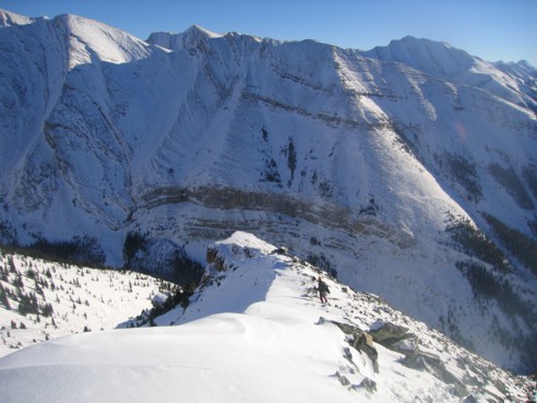
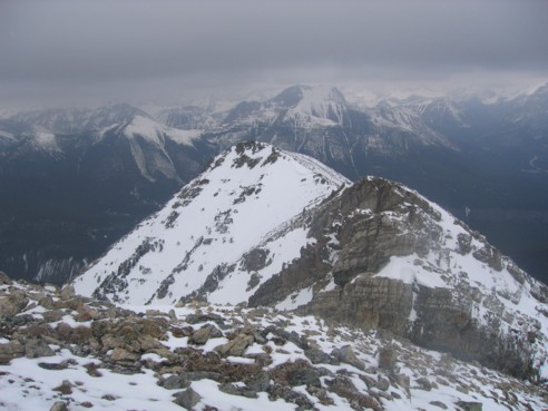
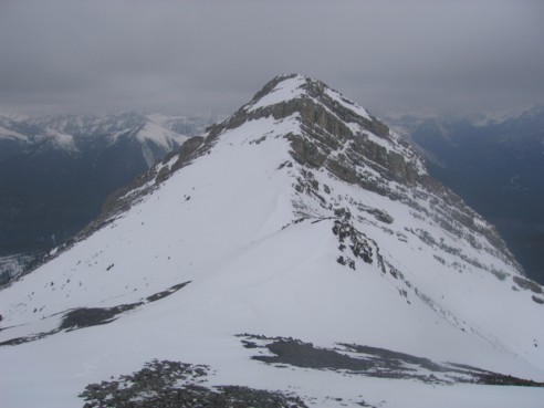
The ridge leading to GR369377 (just out of the picture, to the left) is in the foreground; photo taken on December 27, 2004, from the ascent slopes of Mount McDougall; Fisher Peak to the right
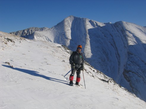
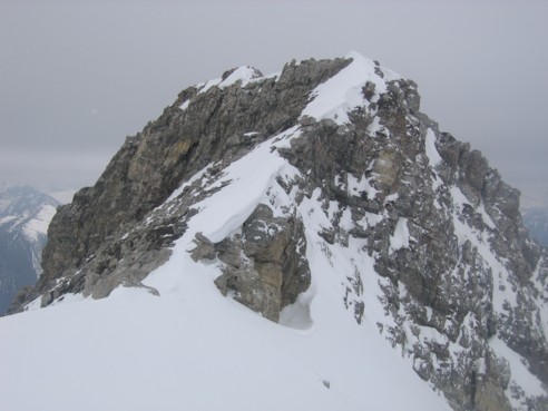
The summit at GR369377; again from Dec. 27; I wish I had the same weather conditions, as seen in the photo
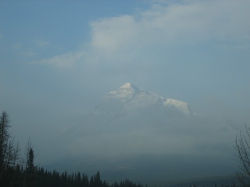
An early morning look at Mount Kidd from Highway 40
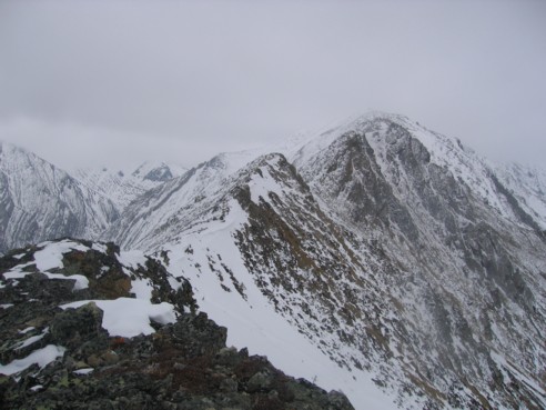
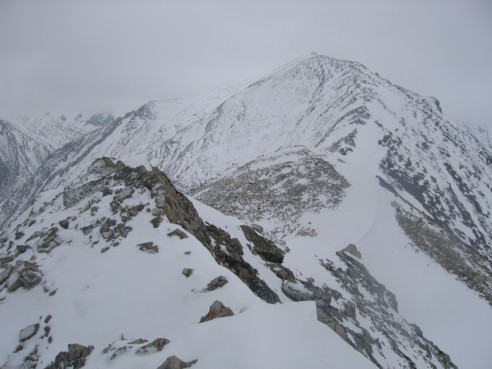
At the first highpoint, looking along the ridge to the summit
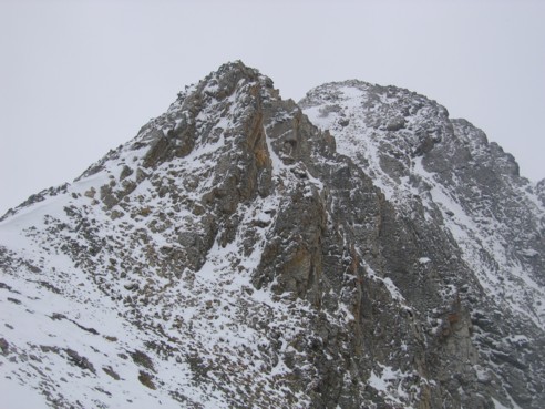
The first obstacle; I circumvented it on the right
Looking back to the downclimbs I went around
More of the ridge and GR369377
Looking back at the second rockband, easily circumvented to the left
Again, looking back along the ridge
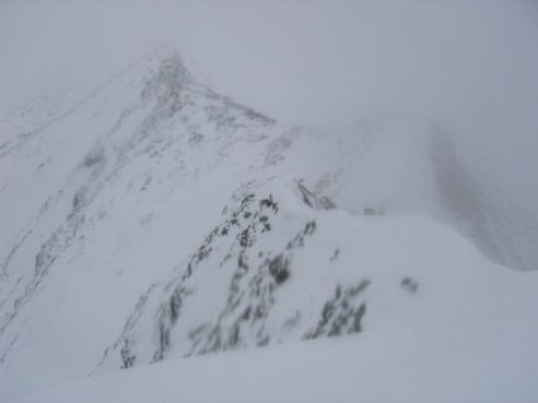
GR369377, with the higher-looking summit barely visible to the left