Unnamed
summit at GR652811 (south Kananaskis) –
Mountain height: 2,141 m (7,022 ft)
Elevation gain: 550 m
Ascent time: 2:25
Descent time: 1:30
Hiking with Mark.
We spotted this long ridge and minor summit, from Junction Hill, two weeks earlier, and decided it to be worth a try, as the view of mountains of the Continental Divide would be spectacular. Initially, we intended to gain the ridge from the north, however, a quick look at the map revealed that an approach via Baril Creek Trail would be far shorter and involve less bushwhacking. Having no route information, we decided to bring almost everything – snowshoes, harness, rope, crampons, and even some climbing protection. In retrospect, all that equipment could have stayed in the car, as the entire ascent was nothing more than an easy hike.
The trip was a very last minute decision and as a result,
we didn’t leave the parking lot until a late
Unfortunately, the weather had no intention of cooperating and upon reaching the ridge, dense clouds started to pour over the tops of the mountains. Although we could still see most of mountains clearly, the stark white background detracted immensely from the stellar view we were expecting. We arrived at the summit, a little disappointed, and stayed there for 2 hours, hoping for a clear break in the weather. In that time, we explored the north ridge and then returned to the summit, and waited patiently. When it became clear that no such break in the weather was coming we started down.
For the return trip, we took an alternate and more direct route, by descending the southeast slopes as opposed to the south slope. The route was easy and fast and would actually also make a good ascent route. An easy, stress-free, and worthwhile trip, with a potentially great summit view – just wait for a clear day!
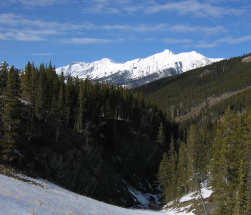
A sunny, roadside view of Mount Head (left) and Holy Cross Mountain (right), taken from Highway 940 South
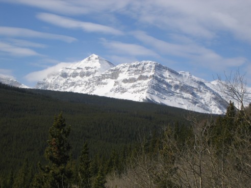
Baril Peak, just before it was consumed by clouds.
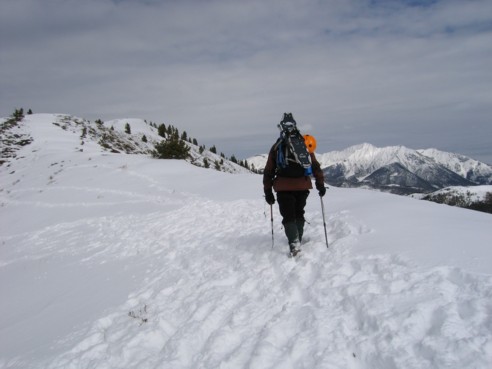
The easy ridgewalk to the summit; Holy Cross to my right
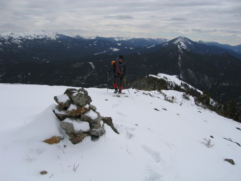
Mark, approaching the summit; the minor peak to the right is Raspberry Ridge
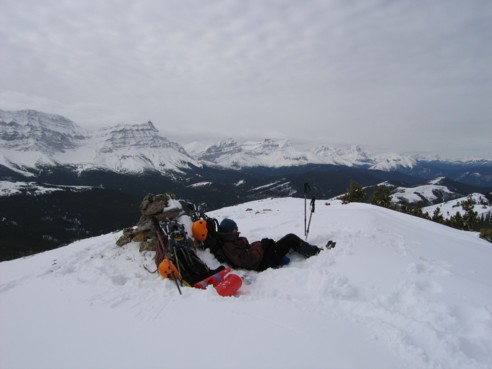
Trying to take a nap at the summit, while waiting for the clearing that never came; Mount Armstrong and MacLaren at the left
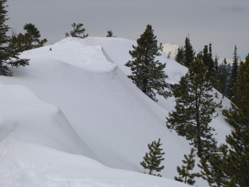
Some interesting winter scenery near the summit; the peak in the background, to the right is distant Mist Mountain
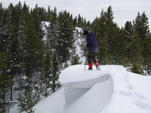
Mark tests a small cornice