Mountain height:
2650
m (made it to 2340 m)
Elevation gain:
1000
m
Ascent time:
6:00
Descent time:
2:50
Snowshoeing and scrambling with Mark.
Knowing full well that this would be a terrible
weather day,
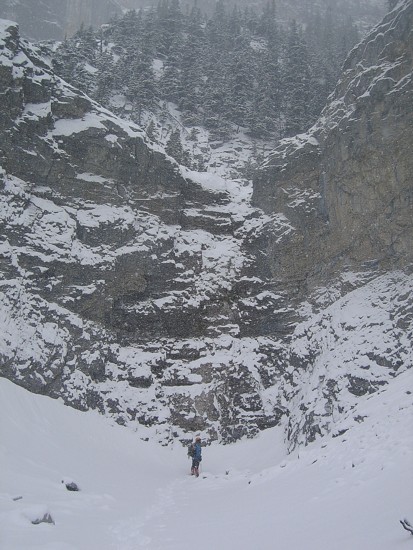
with absolutely no possibility of any views, we set off up Grotto Creek
to get
some exercise and possibly do a reconnaissance mission on
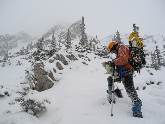
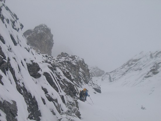
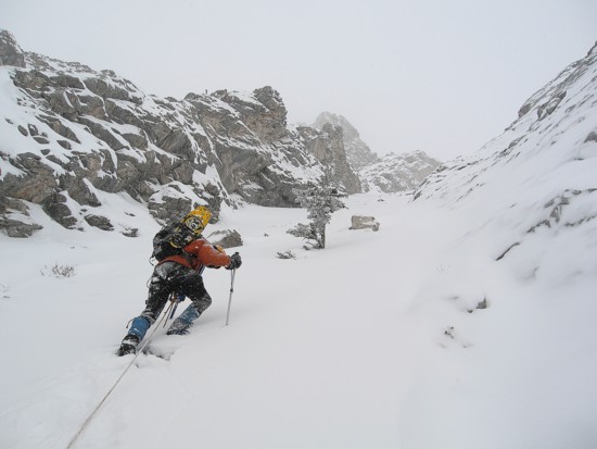
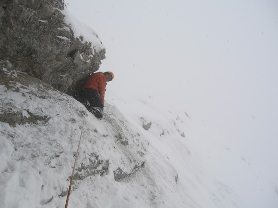
After crossing several ribs and then slogging up a long gully, we hit an impasse, where the terrain became far more serious. Perhaps this section was doable in summer, but definitely not in its present condition. Poor visibility also prevented us from seeing any detail.
We called it a day, approximately 750 horizontal and 300 vertical metres from the summit. A rapid and easy descent ended a surprisingly enjoyable day.
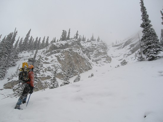
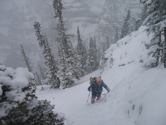
Mark leads the ascent up the gully to the ridge
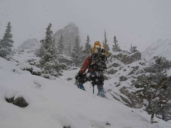
Crawling up a short section to see the upper ridge