Gunnery
Mountain and Beyond –
Mountain height:
2,089 m (6,852 ft)
Elevation gain:
570 m
Highpoint reached towards Holy Cross: 2,421 m
Elevation gain:
332 m
Solo scramble.
A little
after-work, exploratory trip to summit insignificant
The summit was
nothing special and so I decided to continue heading in a northwest direction
towards
Again, the
ascent was far more interesting than I was expecting, with great rock scenery
and some interesting scrambling. For the most part, I stayed on the ridge,
occasionally traversing right to circumvent a few stepper sections.
Unfortunately, the already deteriorating weather really came in at this point
and it started to rain steadily, with whiteout type conditions all around –
probably good timing, in retrospect, as at the same time, I reached a rockband
that I could have ascended, but would have been tough to downclimb, especially
on wet rock. Without hesitation, I turned around. Once back at the col between
Gunnery and Holy Cross, I opted to take a longer but more gentle descent route,
on a good trail, around the west side of the mountain. This avoided having to
reascend
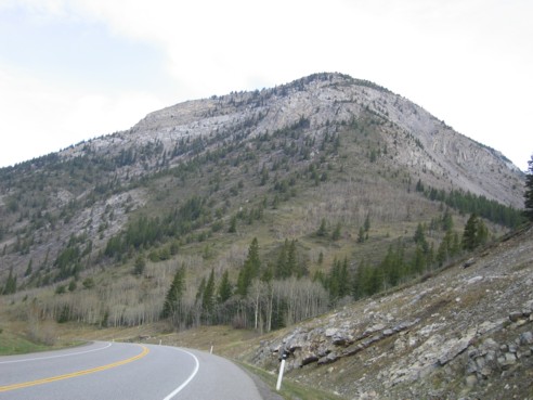
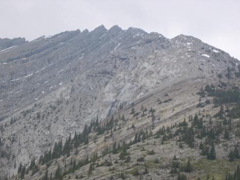
Gunnery Mountain, as seen from Highway 40; ascent route is just right of centre
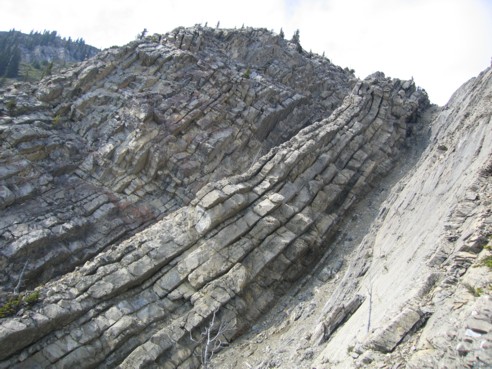
Interesting rock on the south side of the mountain
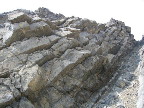
More interesting rock
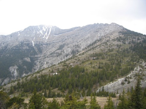
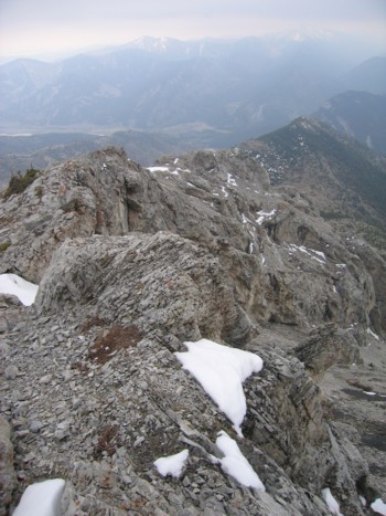
Looking towards Holy Cross Mountain from the summit of Gunnery Mountain; the obvious ascent route follows the skyline from right to left
A closer look at the upper ridge and the rockbands enroute
More fascinating rock scenery on the way
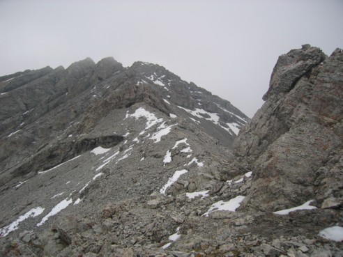
Nearing the more challenging sections of scrambling
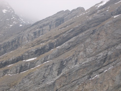
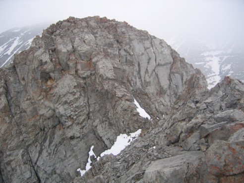
An even closer look at the rockbands
The end of the line; I didn't want to ascend this rockband alone and in the rain