Highwood Peak attempt – June 30, 2007
Mountain height: 2726 m
Elevation gain: 1000 m
Roundtrip time: 5:20
Solo scramble.
As the highest peak in the Highwood
The approach alongside Picklejar Creek was fast and easy. Upon arriving at the base of the mountain I decided to change the intended route. My original route entailed ascending scree slopes between two ridges, gaining the upper ridge south of the summit, and then following that ridge north to the top. Instead, I decided to gain the north ridge as soon as possible and then follow it to the summit. From the base of the mountain it looked to be fairly straightforward, however that perception would quickly change.
Getting to the ridge was straightforward – first on grassy slopes, then on slabs. As well, the view to the west really opened up, highlighting the many distinctive peaks on the Continental Divide. Upon reaching the top, it became immediately apparent that traversing this ridge was going to be a huge issue, if not impossible. Unseen from below, the ridge was lined with drop-offs – some relatively small, others significantly more serious.
I started the traverse, downclimbing several steep sections before the ridge dropped away. Losing elevation alongside a rockband, I was able to circumvent this drop-off and then return to the ridge. This process continued for a long stretch, until I reached a drop-off that would require either a very long rappel, or losing elevation almost all the way down to the valley below. Lacking both a rappel rope and the motivation to descend to the valley and then trudge all the way back up to the ridge, I decided to call it quits. Getting down to the valley was a little tedious, but once down the remainder of the descent was easy and very scenic. In retrospect, sticking to the intended route may have yielded better results. I’m sure I’ll return someday to test that theory.
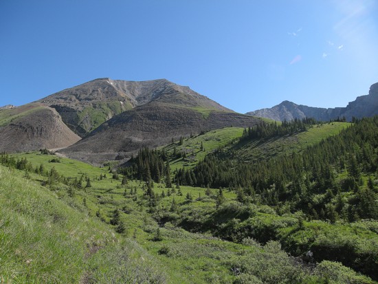
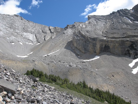
The beautiful environs of the area; the summit is near the right side; the north ridge starts at the left
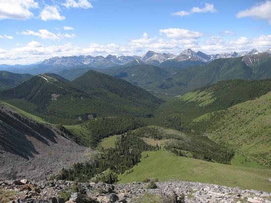
Looking to the west from the grassy ascent slopes
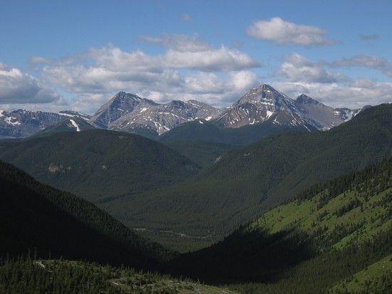
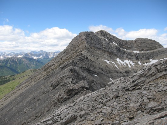
A closer look at Mount McPhail (left of centre) and Mount Bishop (right of centre)
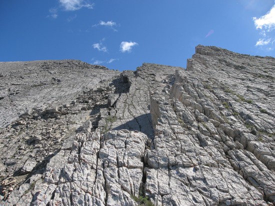
The slabby terrain near the top
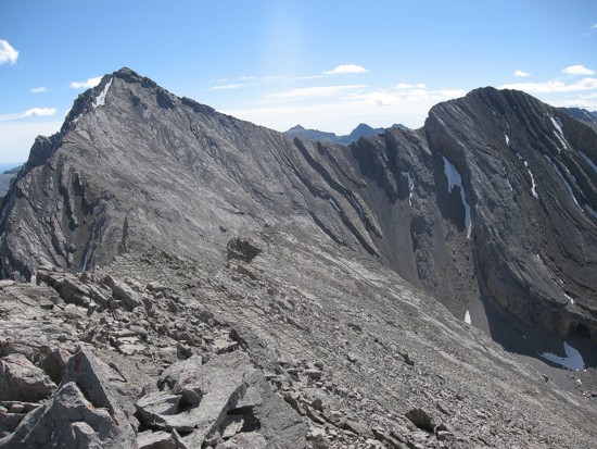
At the first summit looking towards Highwood Peak (left)
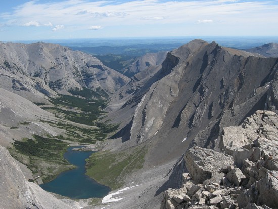
Junction Lake lies to the east
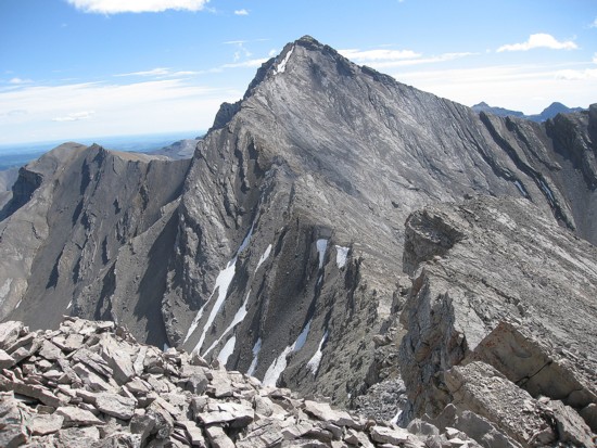
Another look at the objective and the ridge traverse
Looking back at the first summit
On descent; the route I should have taken follows the scree ramp in the centre
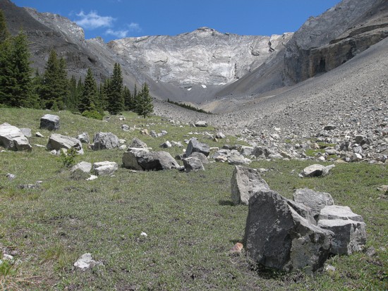
A last look at Highwood Peak from the valley between the two ridges