Isabelle
Mountain
height: 2938 m
Elevation gain:
1535 m
Ascent time:
7:00
Descent time:
4:40
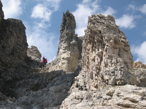
Scrambling with Linda.
Higher
up, I decided to leave the gully and explore interesting pinnacle-like terrain
on the right side of the gully. Linda continued up towards the ridge on steeper
terrain. Both of us enjoying more great hands-on scrambling, we would soon meet
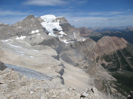
up and ascend the upper section of the scenic ridge. Eventually, we reached a
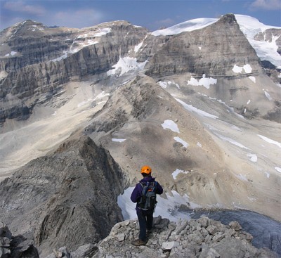
height where the best view of the day awaited – the beautiful, rounded contour
of glaciated
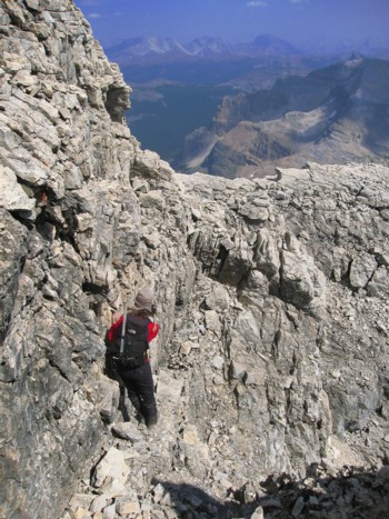
From a
distance, the crux appeared to be long, steep, and exposed. It was, but only for
the first few metres. After that, the grade was easier and the scrambling, yet
again, satisfying. We arrived at the summit shortly after and sat down to enjoy
what should have been an awesome summit panorama. It was, but very suddenly and
unexpectedly, the scenic peaks to the west and south started to disappear into a
thick haze – our great nemesis had returned – forest fire smoke.
After a
peaceful and relaxing summit stay, we headed north along the ridge to check out
a potential route to the summit of
Descending some of the rock was actually almost as enjoyable as ascending it – a very rare case. Soon, we were back to the initial gully, and then onto the trail and a long, but easy walk back to the car. A most enjoyable scramble and wonderful day out. Thanks for suggesting it, Linda!
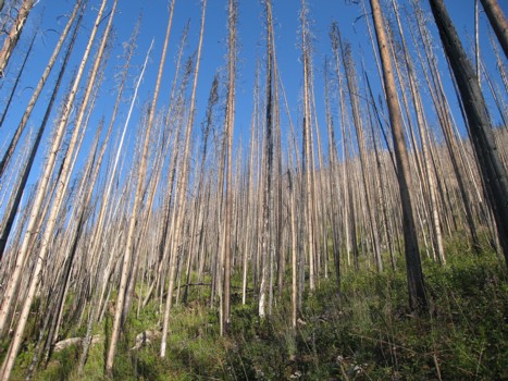
Trees from the trail

Linda ascends the lower slopes of the mountain
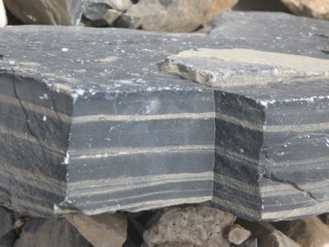
A very "geometrically-pleasing" rock
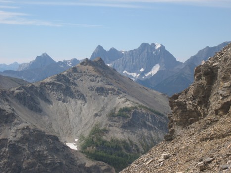
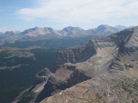
Looking west at The Rockwall; Hawk Ridge in the foreground
The ascent gully I took
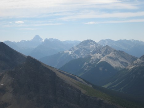
Looking east to Mount Brett (just left of centre) and Mount Bourgeau (right of centre)
More of The Rockwall
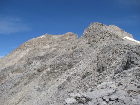
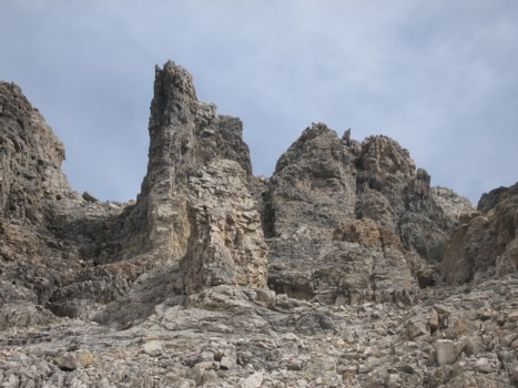
The upper slopes and summit block
Hawk Ridge (right) and Assiniboine (distant left)
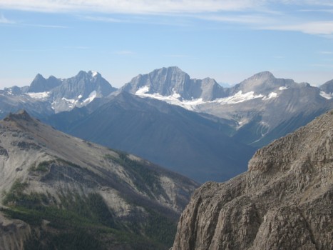
Mount Ball
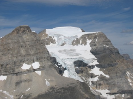
A closer look at Ball and its glacier
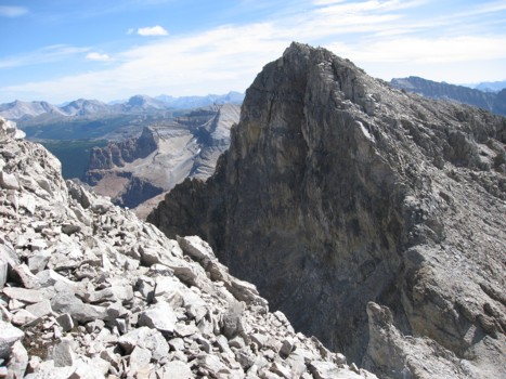
Looking back to the upper ridge

Ball again
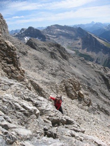
Linda ascends the crux
Checking out the traverse to Mount Ball (photo by Linda)
Linda descends an exposed ledge

Linda bags another summit
Linda descends the gully