Mount
James
Walker Recon. –
Mountain height: 2,241 m (7,350 ft)
Elevation gain: 728 m
Ascent time: 3:35
Descent time: 2:05
Alpine touring with Mark.
The primary purpose of this trip was to get some much needed practice at alpine touring and ski mountaineering. Our secondary goal was a possible attempt at the summit of Mount James Walker, if by some small miracle, the weather took a turn for the better. Although the forecast promised “Mainly sunny”, you didn’t need to be a meteorologist to figure out that the huge mass of gray, covering B.C. and Alberta, on the satellite picture, indicated anything but “Mainly sunny” – how about: completely overcast skies, with low-lying clouds, snowfall and blowing snow, caused by high winds, reduced visibility, and unseasonably low temperatures at higher elevations??
Basically, we skied to the base of the mountain (about 10
km), before turning around, due to deteriorating weather conditions. Ski tracks
from other parties made the interesting ascent relatively easy and the scenery
would have been quite stunning on a clear day. 2 horizontal kilometres and 600
vertical metres from the summit, we chose to call it a day. From our previous
experience on
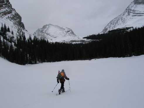
Skiing across the small lake before the headwall; the route ascends through the trees at the right; Mount James Walker just left of centre.
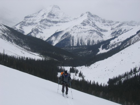
Mark, above the headwall, with Mounts Murray and Cegfns behind
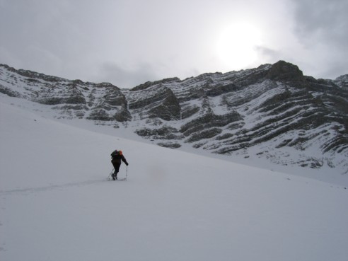
More slopes enroute to the base of James Walker; these slopes were a lot of fun to ski down.
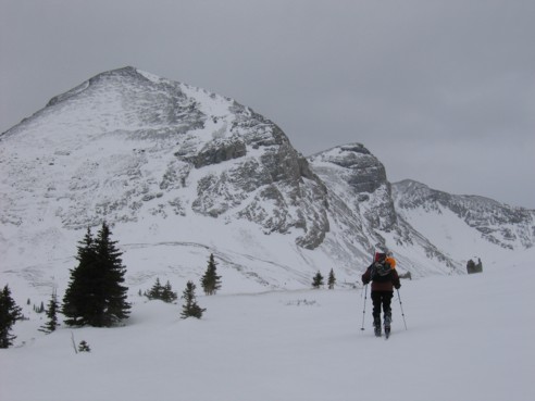
Almost at the base of James Walker; the mountain can be ascended head-on or by continuing left up the valley before turning left towards the summit