Mount
Mountain height: 2,958
m (9,702 ft)
Elevation gain:
1,350 m
Ascent time:
3:35
Descent time:
Solo scramble.
After our
harrowing experience on the north
peak
of
I
deliberately left Calgary
later than usual, as the forecast
was slightly better in the afternoon. Still, even leaving Galatea parking lot at
Upon starting
the long, tedious grind up the main avalanche gully, the clouds really came in,
severely limiting visibility above 2,300 m. On the lower section of the
avalanche gully I found quite a few places, on the left side, to avoid the scree
and rubble and get in some surprisingly decent hands-on scrambling. Here, for
the first time in my scrambling days, I slowed my pace down considerably, to
allow the weather time to clear. I think I actually found it more difficult to
hike slowly than fast – patience is obviously not my strong suit when
scrambling alone. This strategy did not pay off and eventually I was above the
fast moving clouds and in whiteout type conditions. By the time I made it to the
ridge, fresh snow from the previous week of miserable weather, made it an
official whiteout. Although frustrating to be denied a great view of the
surrounding area, it was quite interesting to be in a whiteout on this
relatively low mountain, at this time of the year.
Once on the
ridge, the summit was only a 5 or so minutes away and I sat down at the cairn
(with two golf clubs sticking out of it) to admire a beautiful view of the only
thing I could see – a shapely and awe-inspiring telecommunications station –
wow! The wind was strong up there and the temperature had plummeted
considerably. Even after putting on all four layers of my clothing, I was still
shivering, as I sat there in the whiteout, hoping that the clouds would clear. My
patience paid off and 45 minutes after arriving at the summit, a strip of blue
sky suddenly appeared. Although the sky didn’t ever clear completely, for the
next 30 minutes I was treated to a spectacular show as clouds engulfed the
summit and then quickly moved on, revealing a stunning panorama. Most
interesting was the eye-catching contrast of the greens and browns of
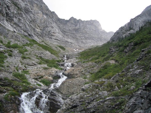
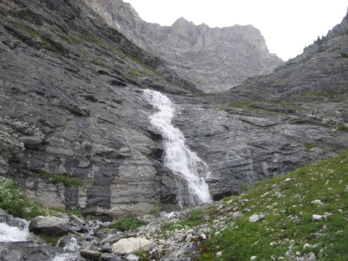
The smaller upper waterfalls and the beginning of the ascent gully
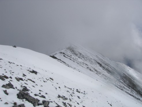
At the ridge, looking towards the summit (in the clouds)
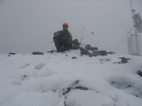
A self-timed picture at the summit cairn; yep....it's a whiteout!
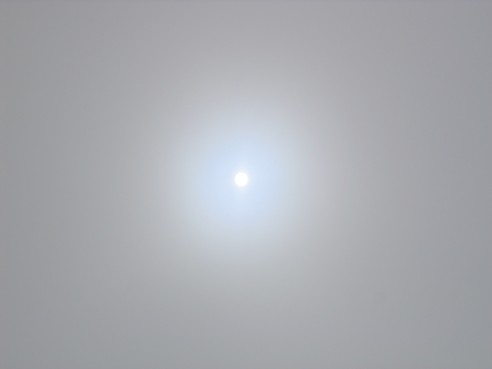
The sun trying to break through the clouds
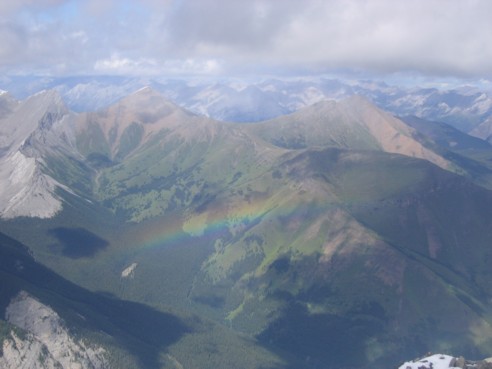
A rainbow and Mounts Allan (left) and Collembola (right)
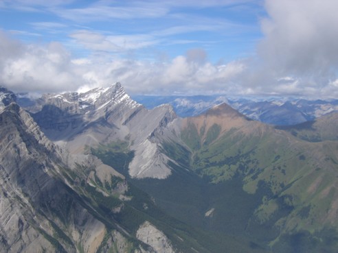
The fourth peak of Mount Lougheed (left), Wind Mountain, and Mount Allan (right)
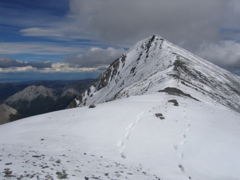
Looking back at the summit ridge and my two sets of footprints!
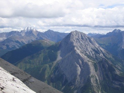
Fisher peak (snow covered at the left) and The Wedge
More great waterfall scenery on the way down
HOME
SCRAMBLES
MOUNTAINEERING
OTHER
TRIPS
PHOTO
GALLERY
LOG
FAVOURITES
LINKS