Kishinena Peak
July
24, 2011
Mountain
height: 2440 m
Elevation gain:
m
Ascent time:
3:25
Descent
time:
2:25
Solo
scramble.
This
non-descript, little mountain on the Continental Divide has always been
very
low on my priority list. In fact it never was on any to-do list until I
ran
into a great trip report by Trevor Helwig and James Yearous. Even with less than
stellar weather
conditions their ascent looked fairly interesting and so I hijacked not
only
the idea for Kishinena, but also their specific route via the
Kishinena/Bauerman col.
 Definitely
one of my later starts for a day trip, I left the Red Rock Canyon
parking lot
at 3:15 pm. 8 km of ferocious pedaling and a heck of a lot of walking
my bike
up even the most innocuous of hills, took me to the pleasant Snowshoe
campground, where I traded the wheels for hiking poles. The 3.3 km hike
to the
upper Twin Lake was also very pleasant, with good views of the
objective. Of
course my late start meant that the Sun was in the worst possible
position for
photos, but that was something I was going to have to live with
(whiner!).
Definitely
one of my later starts for a day trip, I left the Red Rock Canyon
parking lot
at 3:15 pm. 8 km of ferocious pedaling and a heck of a lot of walking
my bike
up even the most innocuous of hills, took me to the pleasant Snowshoe
campground, where I traded the wheels for hiking poles. The 3.3 km hike
to the
upper Twin Lake was also very pleasant, with good views of the
objective. Of
course my late start meant that the Sun was in the worst possible
position for
photos, but that was something I was going to have to live with
(whiner!).
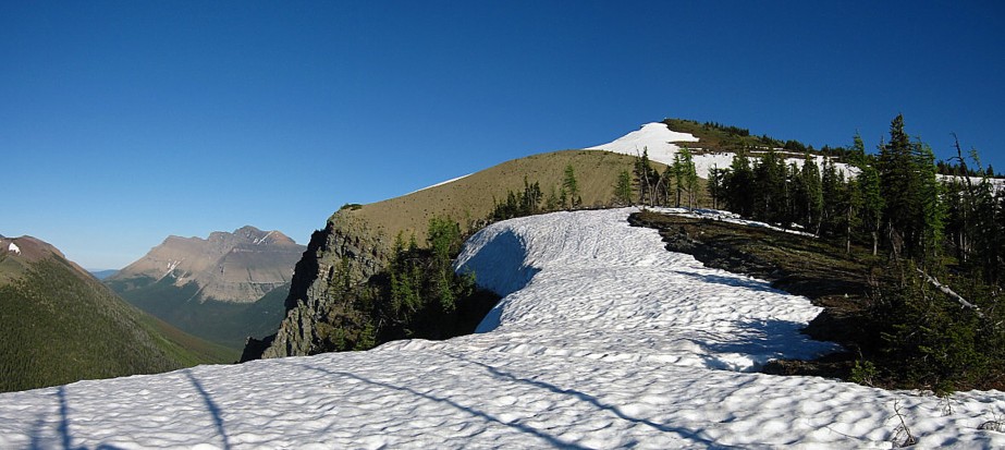
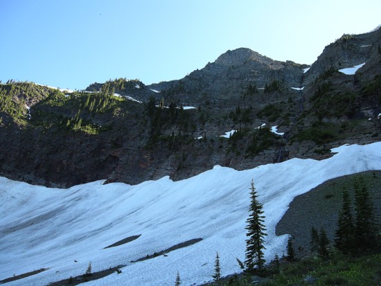
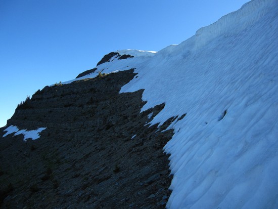
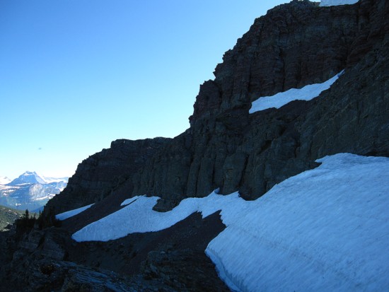
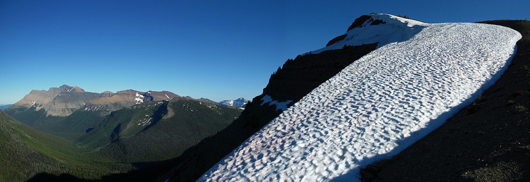
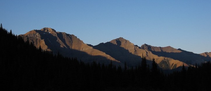
Hiking
to the Kishinena/Bauerman col I couldn’t be more surprised at the huge
amount
of snow still residing on the east side of the peak – after all we are
taking
about July 24 of a fairly warm summer. 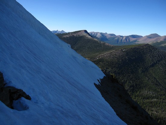 I found it to be somewhat ironic
that
one of the lowest peaks in Waterton Park would also be the last one to
come
into shape (obviously due to its westerly location on the Continental
Divide).
I found it to be somewhat ironic
that
one of the lowest peaks in Waterton Park would also be the last one to
come
into shape (obviously due to its westerly location on the Continental
Divide).
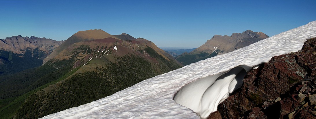
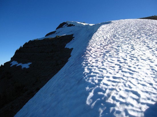
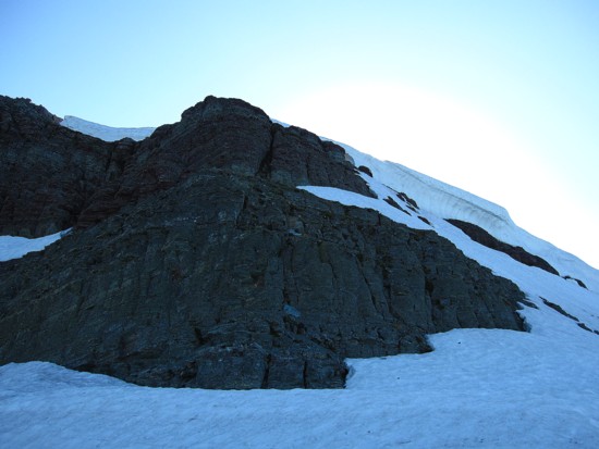
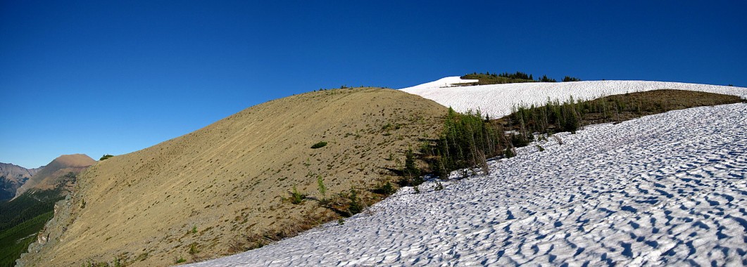
From
the col the ascent was easy, obvious, fun and very scenic. Again, I
cursed my
bad timing, as several snow-filled gullies would have looked wonderful
with the
Sun in the east. The upside of the Sun`s location was it very much
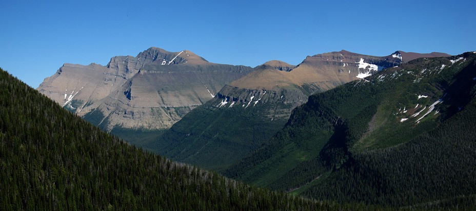
brought out
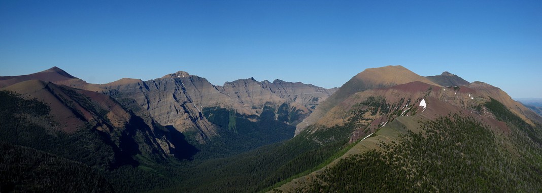
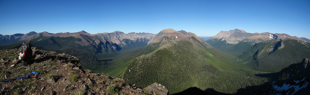
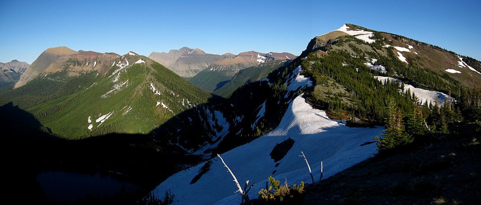
the amazing colours of three absolutely wonderful Waterton massifs: the
Blakiston Horseshoe, the Anderson/Lost/Bauerman group and the Glendowan
to Loaf
Mountain and beyond massif. What Kishinena lacks in height, it
abundantly
compensates for in strategic location. Few, in any, peaks in the area
allow
such a perfect and unobstructed view of all three massifs
simultaneously – it
was outstanding!!
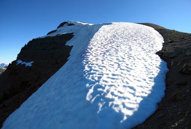
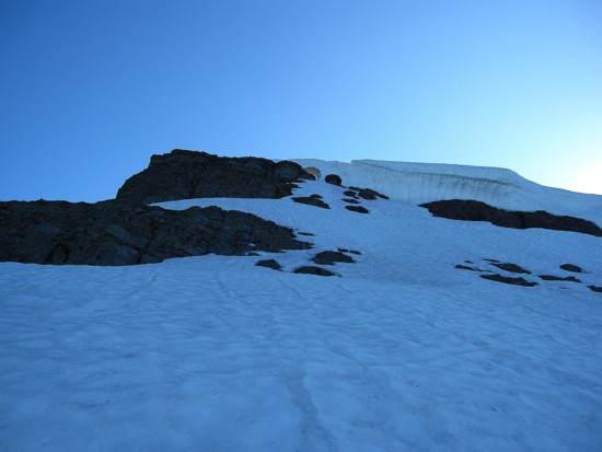
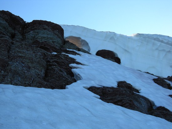
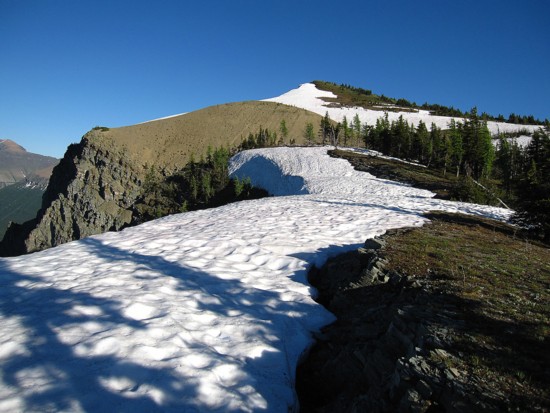
The only section of the ascent that concerned was a huge cornice lining the summit ridge. It was clearly visible even from the valley bottom. I hoped there existed an easy route around or up and over it. Upon arriving at the impressive feature, I immediately went over to the north side and found that the snow had melted enough to allow unimpeded access to the summit ridge and summit - awesome! That gave me an excuse to explore the cornice more thoroughly from below. There appeared to be a hole going right through the cornice that would allow me to crawl through directly to the top of the mountain.
The cornice was expectedly magnificent and the rock around it equally so. Unfortunately I couldn’t make my way over to the hole because of the tenuous snow conditions, but instead enjoyed a short but fun scramble right to the summit.
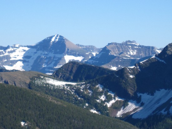
And
just to make sure I would never underestimate this peak again,
Kishinena served
up a thoroughly engrossing summit panorama. To complement the
comprehensive
views of the aforementioned three Waterton massifs, enter the mountains
of
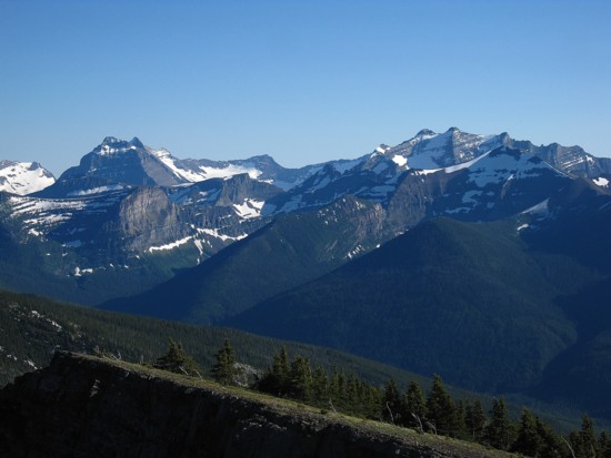
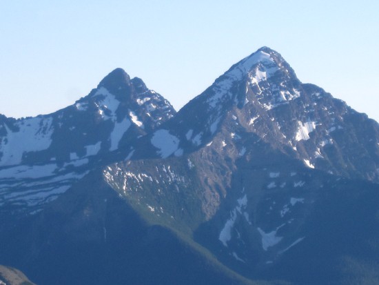
Glacier National Park. 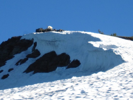 The distinctive forms of Chapman, Custer, Kintla, Kinnerly, and Long Knife were simply outstanding.
The
outlines of other familiar peaks such Castle Peak, “Jake Smith”,
Scarpe, and Haig
and the new forms of Mount Matkin and Font Mountain, added further to an
already
remarkable viewpoint.
The distinctive forms of Chapman, Custer, Kintla, Kinnerly, and Long Knife were simply outstanding.
The
outlines of other familiar peaks such Castle Peak, “Jake Smith”,
Scarpe, and Haig
and the new forms of Mount Matkin and Font Mountain, added further to an
already
remarkable viewpoint.
At
7:15 pm, after a long and gratifying summit stay, I committed my last
crime of
the day, stealing yet another great idea from the Trevor and James –
the
alternate descent route via Sage Pass. This route was brutally easy and
obvious; it should have taken no time at all. More magnificent scenery ensured
my
descent would be anything but expedient. Perhaps the highlight of the
descent
was looking back at the summit to see a white mass suddenly appear
there. Had I
been in the Arctic I would have said, “polar bear” – obviously it
wasn’t! A
mountain goat arrived at the top, shortly after I left and curiously
watched my
progress down the wide ridge (as I watched him watching me!).
It
was almost a relief to arrive at Sage Pass and more subdued scenery, in
that I
could start making up some lost time. My goal of being back at the car
at 10:15
pm was starting to look improbable. Thankfully, a totally exhilarating
bike
ride back enabled me to make up that time and I finished the trip at
9:40.
Overall, a thoroughly enthralling and wonderful day out. Thank you Trevor and James for opening my eyes!
Kishinena Peak
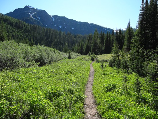
No shortage of greenery here and a terrific trail!
Traversing snow towards the Kishinena/Bauerman col (not visible, but to the left)
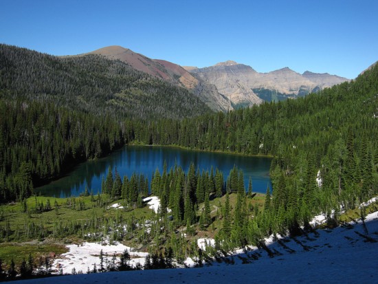
The lower of the Twin Lakes
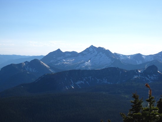
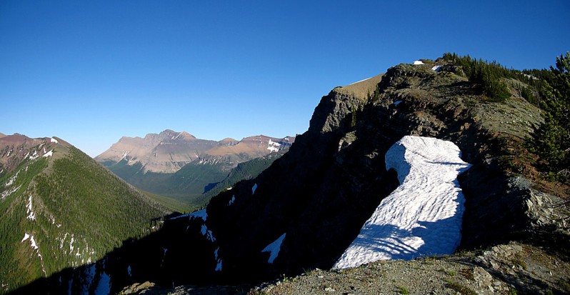
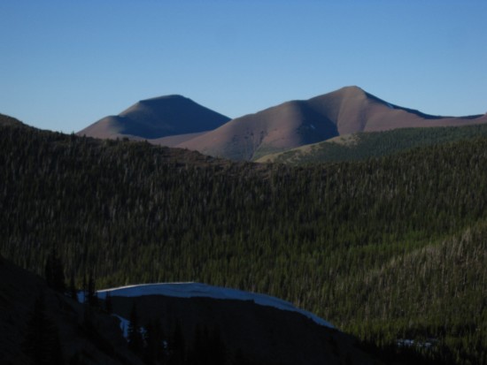
The first look of one of the innumerable highlights of the trip - part of the Blakiston Horseshoe
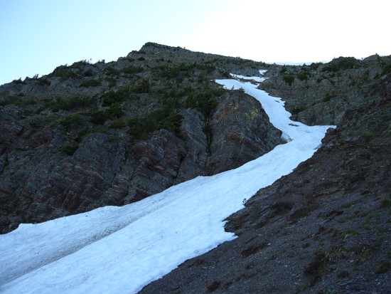
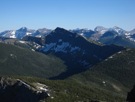
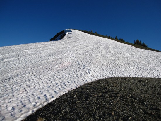
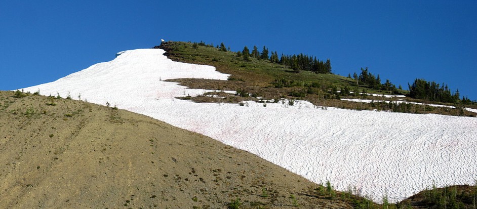
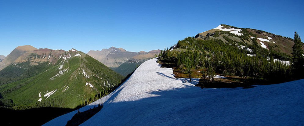
The lower ascent slopes
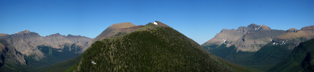
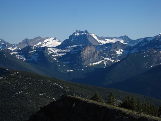
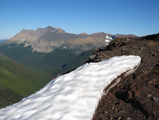
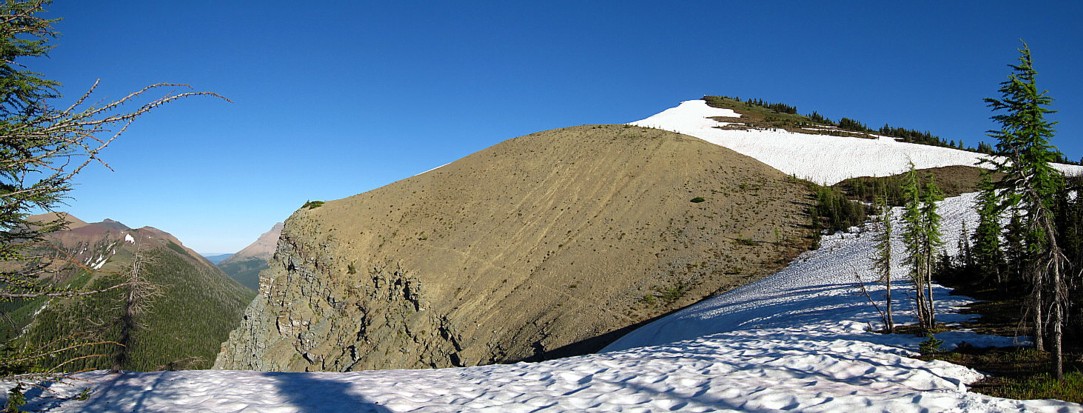
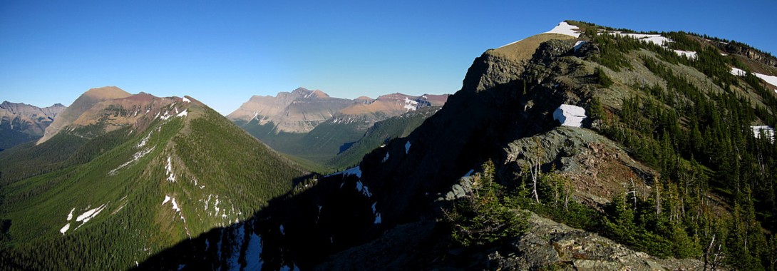
The magnificent three Waterton massifs
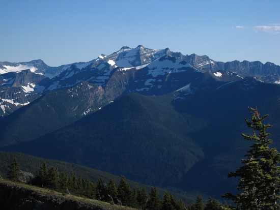
Font and Matkin to the north
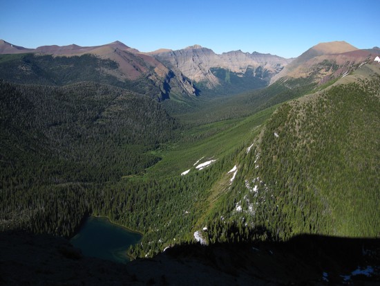
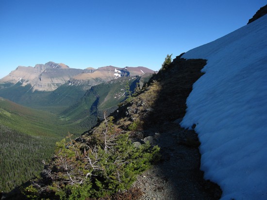
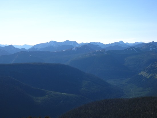
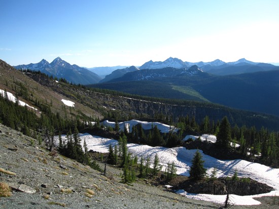
Looking down the approach valley
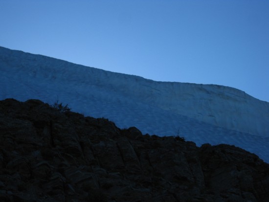
The cornice guarding the summit
The summit
The easy route to get around the cornice
Exploring the other end of the cornice
The hole in the cornice I wanted to crawl through is just visible in the centre
Cool terrain on the southeast side of the peak
The scramble route to the summit
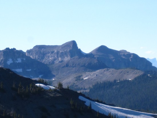
Chapman Peak (left) and Mount Custer
The closest I was able to get to the hole
The summit view of the three massifs
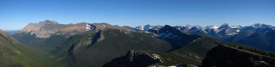
The Blakiston Horseshoe (left) and many amazing peaks in Glacier National Park
Kinnerly and Kintla (looking like one mountain at the left), and Long Knife Peak
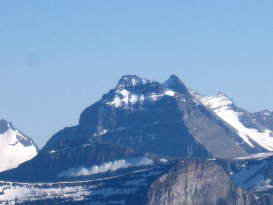
A closer look at Kinnerly and Kintla
Miskwasini (left) and Kenow
Kinnerly and Kintla again!
Long Knife again!
Festubert in the centre
A pretty dull photo, but the three giants (?) of the Castle area are visible:
Scarpe (left ), Jake Smith (just left of centre) and Haig (right of centre)
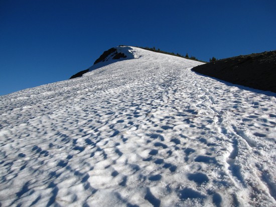
Starting the descent; the remaining snow was the highlight of the descent
The other side of the aforementioned cornice
Same as above
Same as above with the Blakiston Horseshoe and Chapman just peaking around the east side of Kishinena
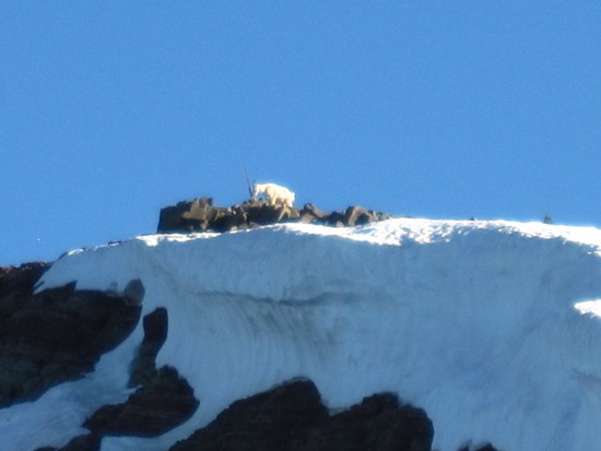
The goat arrives at the summit
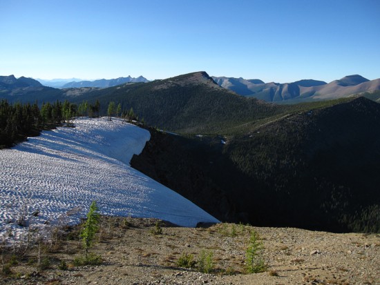
The pleasant ridge going to Sage Pass
The colours on descent were superb, courtesy of a clear sky, greenery, snow and the light coloured scree
As such, I took a million photos! Billy is still at the summit
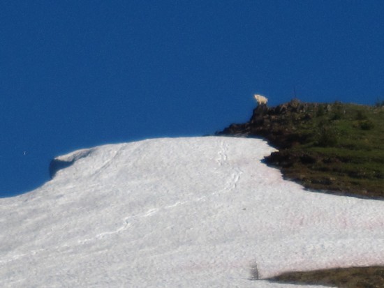
Billy watching me watch him (or her)
Same as above; Billy is still there!
More terrific scenery on descent
Same as above
Same as above
Another view to the southwest
Simply couldn't take enough photos of this kind of scenery
Loaf Mountain and the summit of Spionkop Ridge
More wonderful views
The impressive forms of Starvation Peak (left) and King Edward Peak
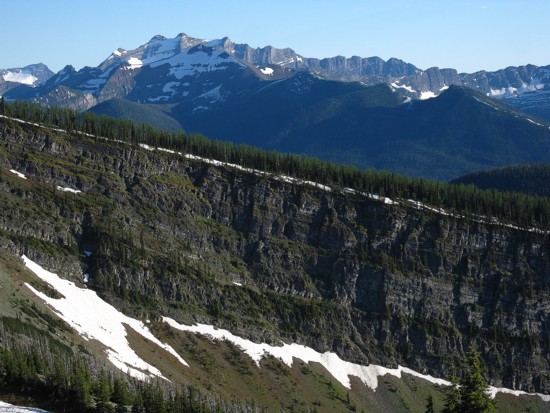
A significant rock wall on the northwest side of Kishinena
Late day light on Glendowan (left), Cloudowan (centre) and Cloudy Ridge

