Lakeview Ridge
– April 10, 2009
Mountain height: 1945
m
Elevation gain: approx.
800 m
Roundtrip time: 8 hours
Scrambling with Mark.
 Lakeview Ridge is one of those peaks where upon
seeing it
you might say “Why would I ascend that?” The
mountain is as front range as
front range gets, significantly lower than all its neighbours, and
looks just plain
boring from the road. However, closer inspection of the east face of
the
Lakeview Ridge is one of those peaks where upon
seeing it
you might say “Why would I ascend that?” The
mountain is as front range as
front range gets, significantly lower than all its neighbours, and
looks just plain
boring from the road. However, closer inspection of the east face of
the
 horseshoe shaped ridge revealed the possibility
of some interesting rock-bands,
similar to those found on Prairie Bluff, further north.
horseshoe shaped ridge revealed the possibility
of some interesting rock-bands,
similar to those found on Prairie Bluff, further north.
With that in mind we took a direct route towards
the cliffs
at the southeast end of the ridge, hoping to avoid any serious
bushwhacking.
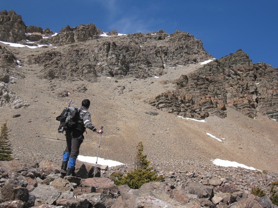
The approach was in fact quite straightforward and we arrived at the
foot of
the rock-bands to find they were as equally breath-taking as those
found on Prairie
Bluff,
especially with a clear sky behind and the full brunt of the Sun
illuminating
the rock. We could have easily spent the entire day exploring this
amazing
geological curiosity, but decided to limit our exploration and then
gain the
ridge to check out the route around the horseshoe. A gorgeous
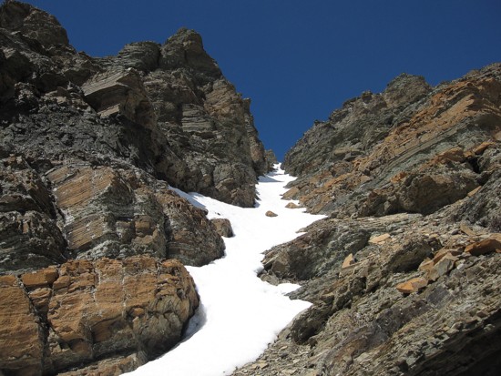
snow-filled gully
provided easy, though steep access to the ridge. 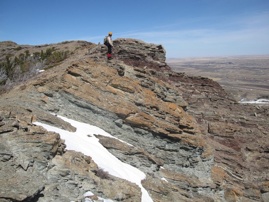 Crampons
were very much
appreciated on a couple of short sections. Again, the layers of
colourful rock
were simply glorious.
Crampons
were very much
appreciated on a couple of short sections. Again, the layers of
colourful rock
were simply glorious.
Upon reaching the ridge, we backtracked south for
a short
distance to gain the southeast summit that marks the beginning of the
horseshoe. For a Front Range peak, the view was remarkably good,
especially
south towards the
The location of the true summit was hard to determine. It appeared to be a significant point about 1.5 hours away. Had I scrutinized the map a little more, I would have discovered that it was much further around the horseshoe. However, from the vantage point of the southeast summit, the true summit appeared to be much lower. Nevertheless, the traverse over and around to the north summit was very enjoyable, with fantastic views and scenery down the east side of the peak.
Even at the north summit, it was still difficult
to see if
the next highpoint was higher. The topo map had one extra contour for
the next
peak and so we started towards it. The 200 metre elevation loss down to
the
intervening col was not an issue, however, the ridge on the other side
of the
col was plastered in deep snow and we had not brought our snowshoes. As
expected, once onto the snow, travel up the treed ridge was labourious
and
quite strenuous. Fortunately, things improved above treeline and the
final walk
to the summit was much easier. The view continued to impress, even
though the
There appeared to be numerous easy options for descent, but we chose to follow the ridge in its entirety, hoping that easy slopes would eventually lead us down to the Horseshoe Basin Trail and back to the car. They did and the ridgewalk in between was excellent. The day ended with a more than pleasant walk through grassy meadows and poplar forests.
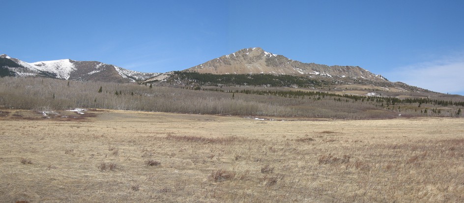
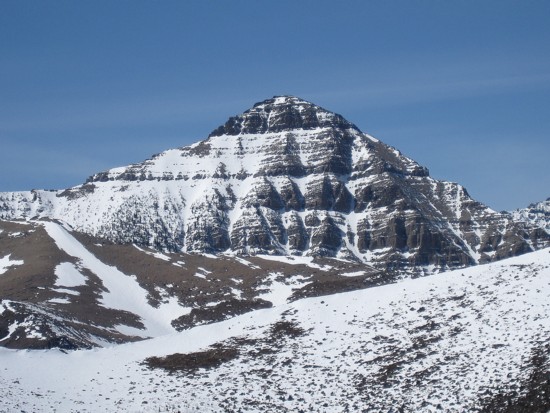
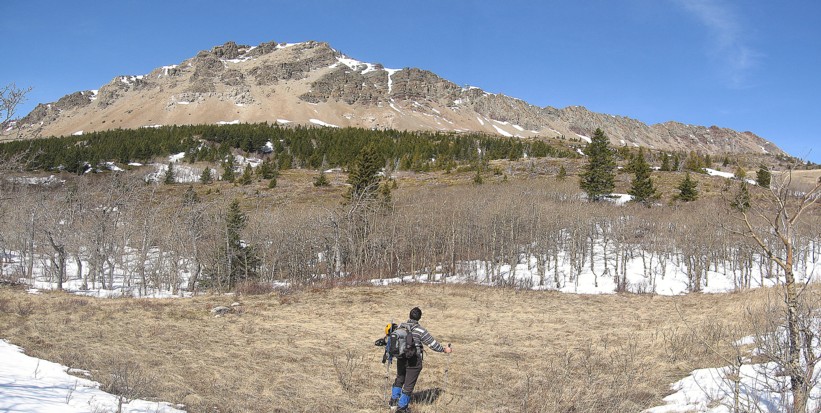
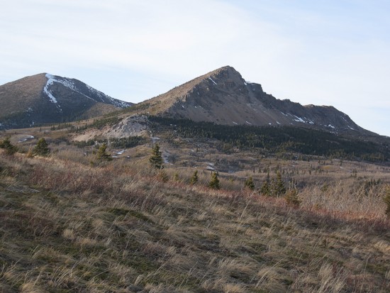
Lakeview Ridge,
as seen from the parking area; the summit is at the left and the
southeast peak in the centre
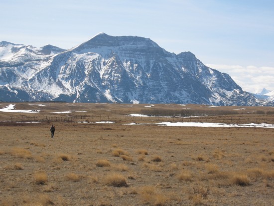
Hiking through the meadows; Vimy Peak
behind
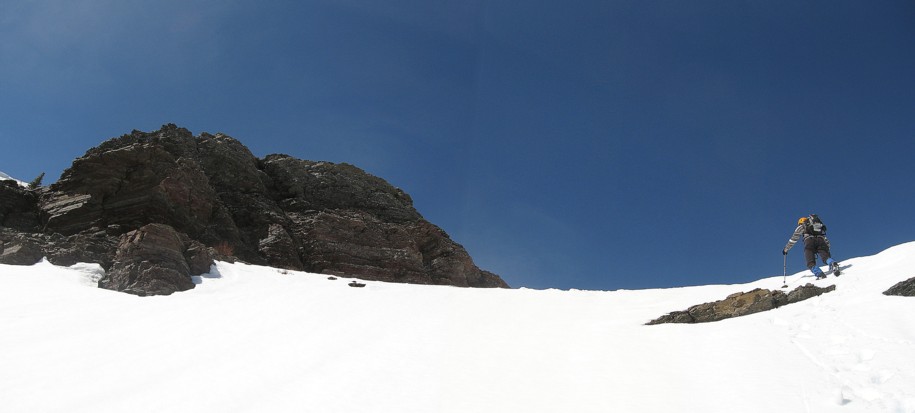
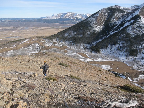
Approaching the southeast face
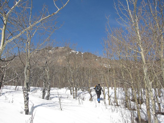
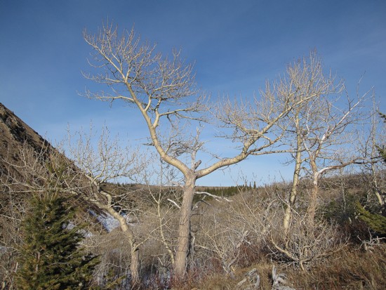
One of several poplar stands on the way
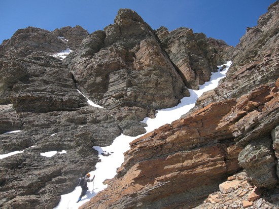
Just below the southeast face
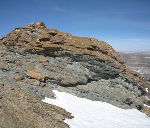
Approaching the incredible rock scenery
Same as above
Same as above
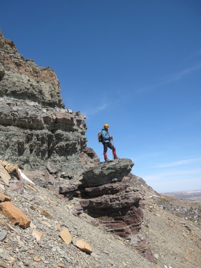
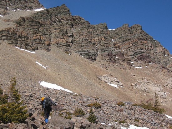
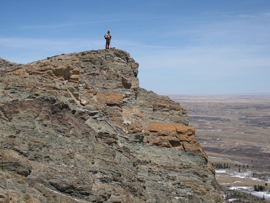
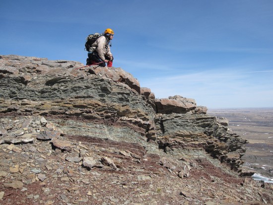
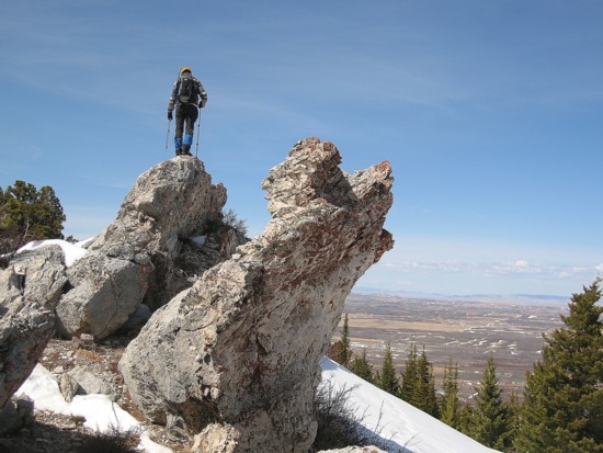
Mark atop a pinnacle of red and green argillite
Exploring the amazing rock
Same as above
Same as above
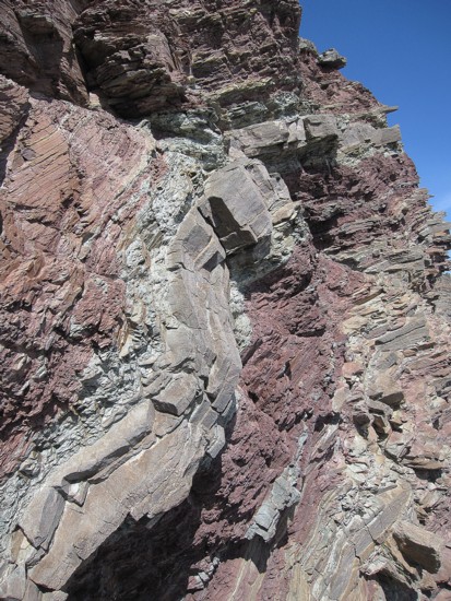
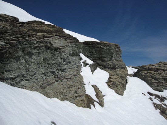
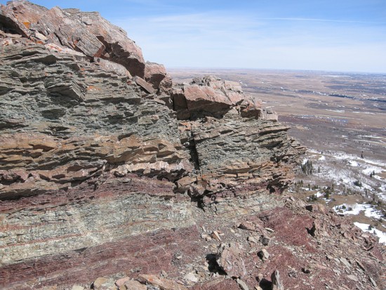
A closer look at the rock layers
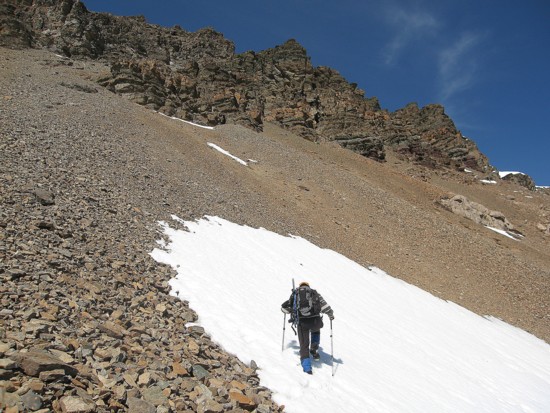
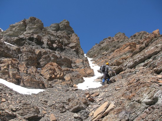
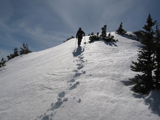
Heading up to the snow gully
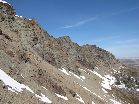
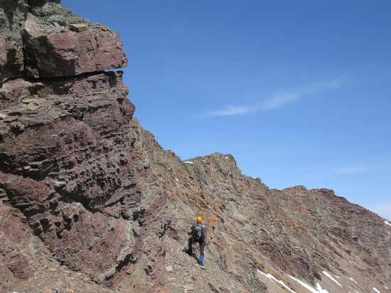
Looking north along the beautiful east face
Almost at the gully
A little diversion before putting the crampons on to ascend the snow
More great rock
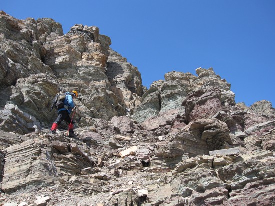
Starting up the gully
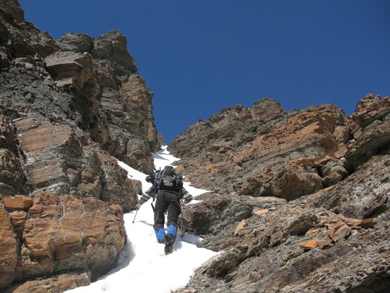
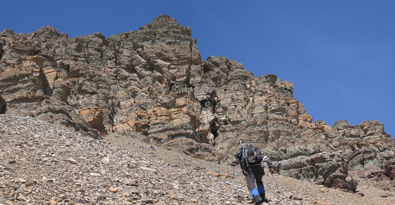
The lower section
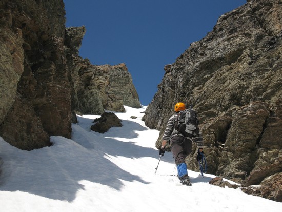
The middle section
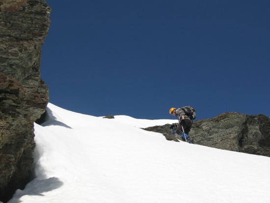
The upper section
Almost at the ridge
Same as above
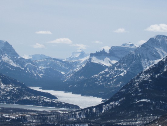
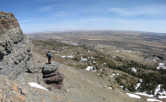
Looking south to Upper Waterton Lake
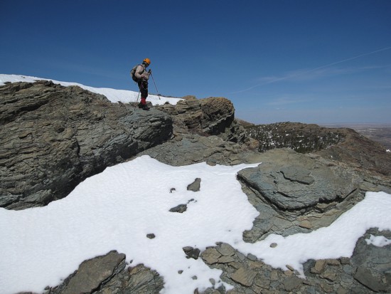
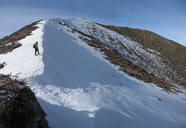
On the ridge
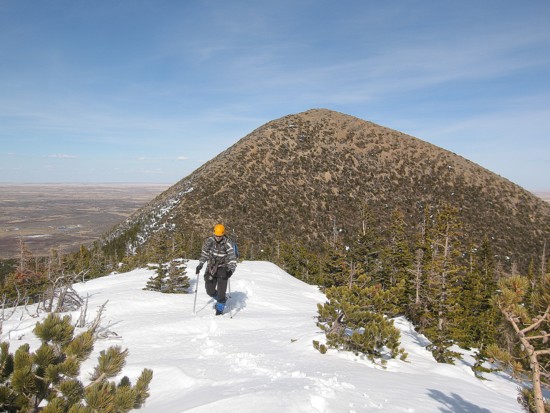
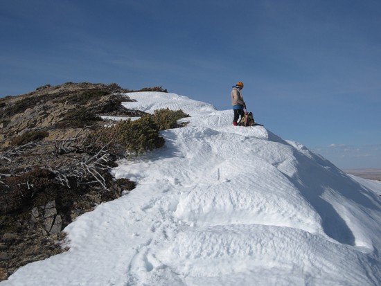
At the southeast summit, looking towards Dungarvan
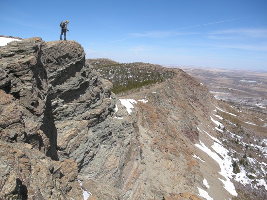
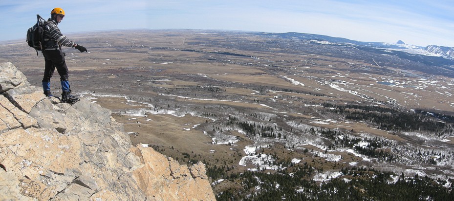
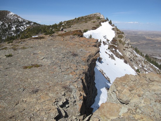
Looking down the preciptous east face
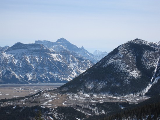
Another small diversion; Chief
Mountain is the lone peak left of centre
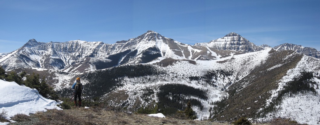
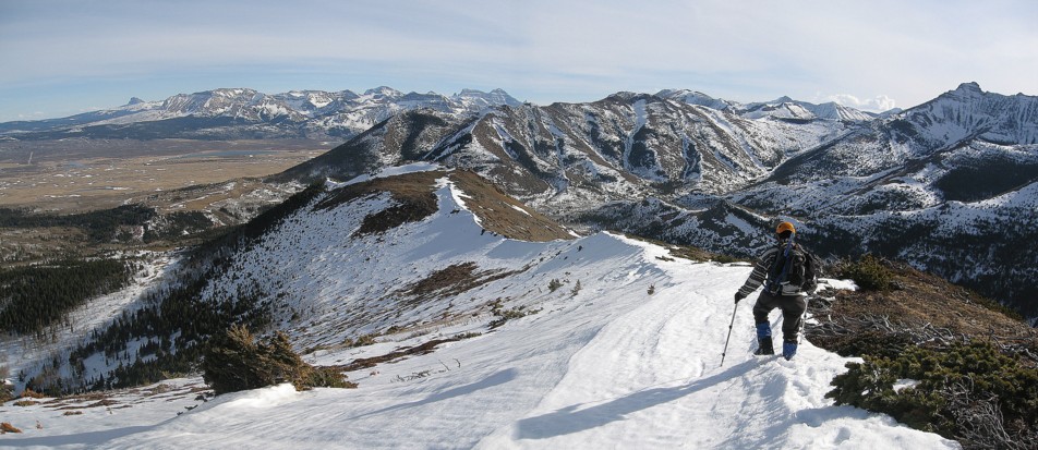
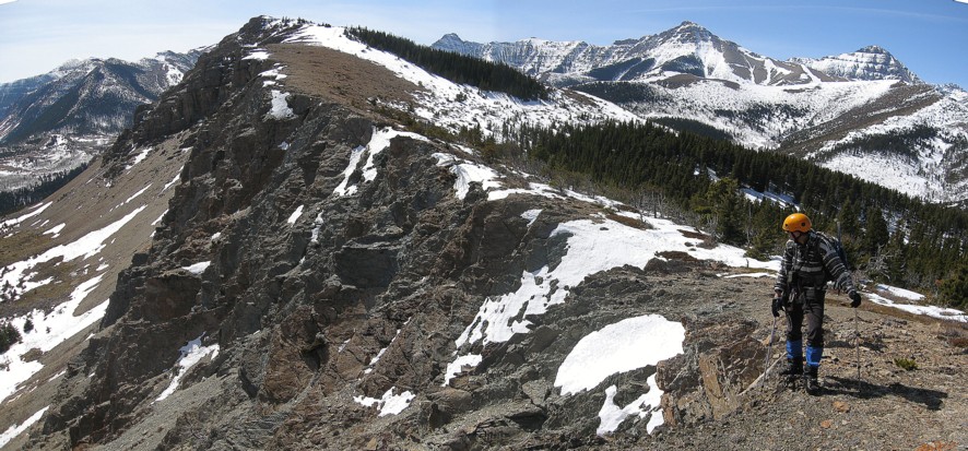
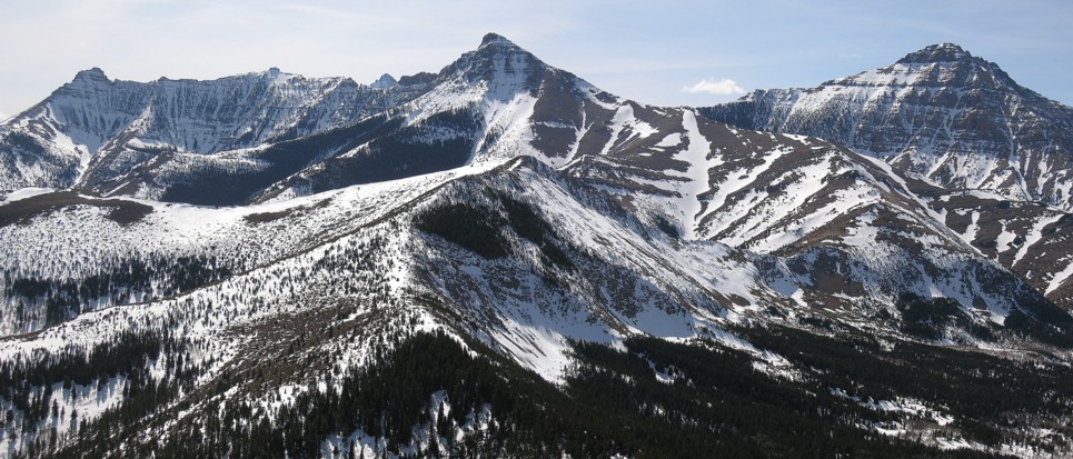
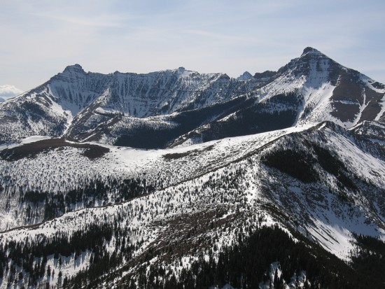
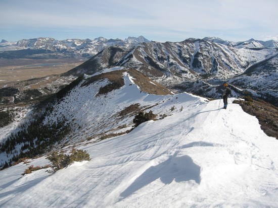
The horeshoe shaped ridgewalk; north summit at the left
Looking back to the southeast summit
Pointing out the obvious
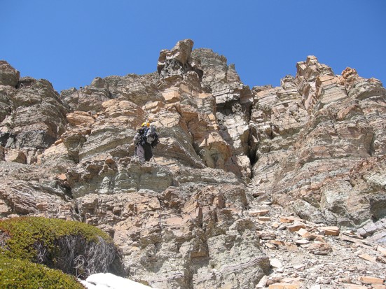
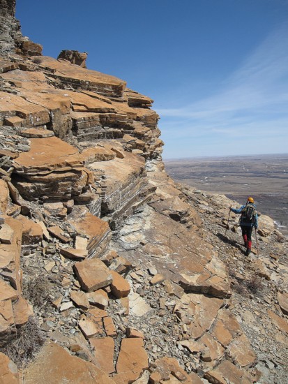
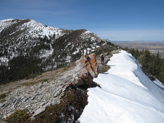
Mark on the ridge
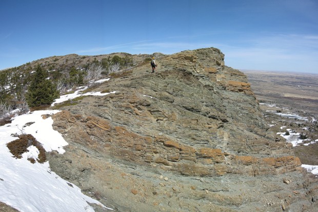
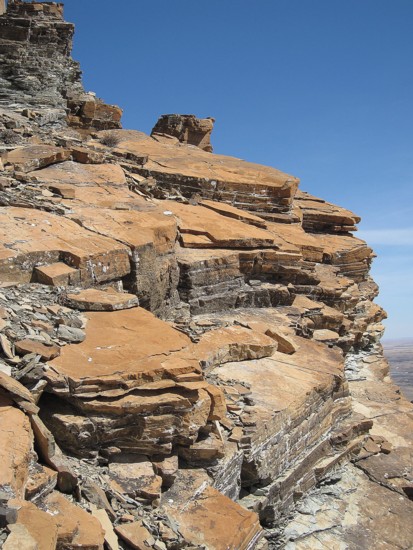
More visible layers of rock
Same as above
Same as above
A closer look
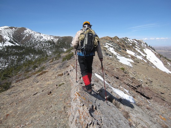
More ridge
Same as above
Same as above
An unusual outcrop of rock
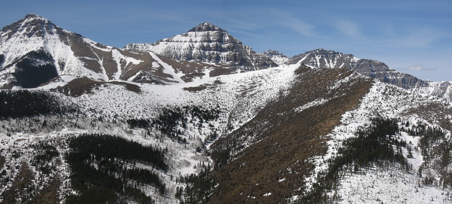
Looking north to peaks of Waterton and The Castle areas
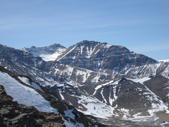
The two peaks of Cloudy Ridge
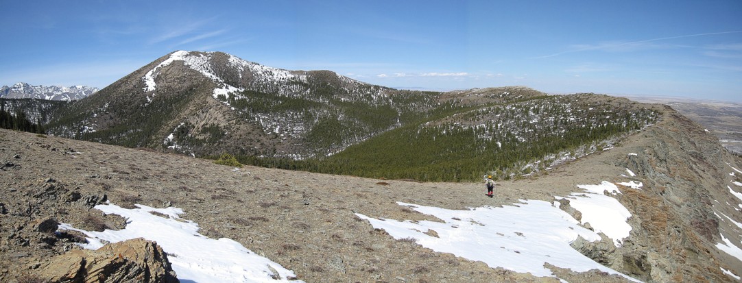
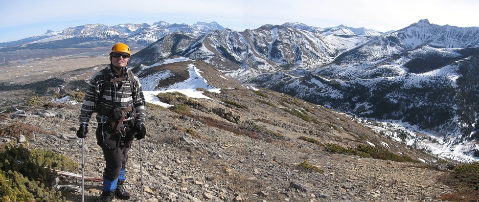
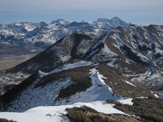
The view from the north summit; the peak in the middle is Unnamed
at GR850475
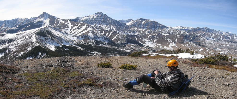
Resting at the north summit
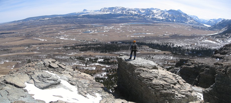
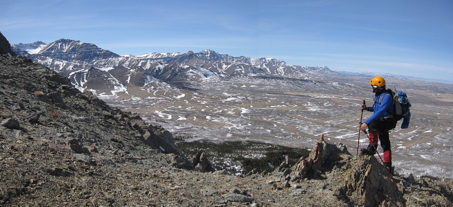
Mount Cleveland
Galwey
and Unnamed
in the background; the ridge and true summit at the right
Onto easier terrain before the true summit
Looking back to the north summit
At the summit
Following the ridge beyond the summit
Same as above
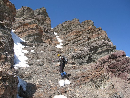
More of the descent
Remants of winter

Same as above
Heading down towards Horseshoe Basin Trail
A Why tree
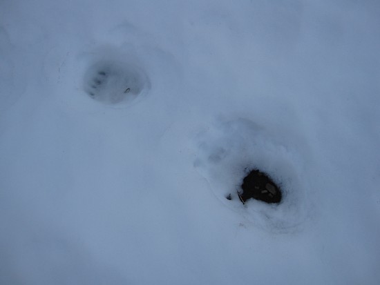
Animal tracks (not a rabbit!)
Looking back to the southeast summit and north summit (left)
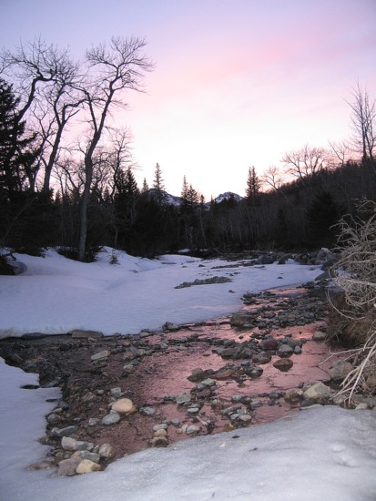
Galwey Brook, late in the day
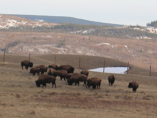
Bison