Whistler Mountain II, "Frankie Peak" II,
"Larry Mountain", North Castle
 June 14, 2009
Mountain heights:
2214
m, 2375 m, 2375 m, 2327 m
Total elevation gain: approx.
1350 m
Roundtrip time:
9
hours
Solo scramble.
After a thoroughly breath-taking ascent of
The ascent of Whistler was again brutally easy,
thanks to
the well-used trail. Of course, without the cloud layer of May 18, the
experience was totally different. I left the trail early to visit the
former
site of the Whistler Mountain Lookout – a short and worthwhile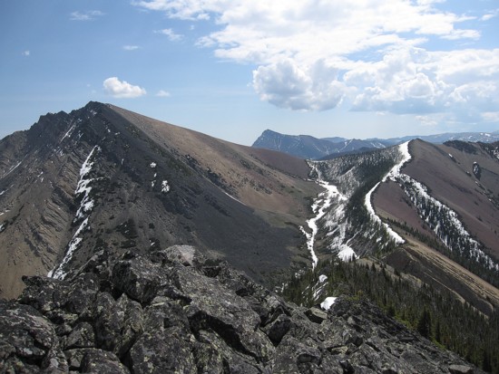 diversion, with very
good views (obviously….it used to be a lookout!)
diversion, with very
good views (obviously….it used to be a lookout!)
The summits of Whistler and the GR between Whistler and Frankie were easily reached. Although the low visibility and therefore eerie traverse to Frankie Peak a month earlier had a charm all of its own, the relatively clear skies of the present day were preferable – turning around to see the colourful hues of Whistler Mountain and Table Mountain a pleasant reward.
 After taking in excellent views from
At this point of the trip, instead of returning
the way I
came, it seemed only logical to make a loop route by heading southeast
to
From Bob
Spirko’s and Sonny
Bou’s
websites, I knew there was a decent way to descent
An excellent day and a very entertaining loop route.
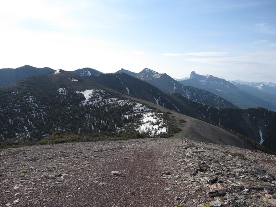
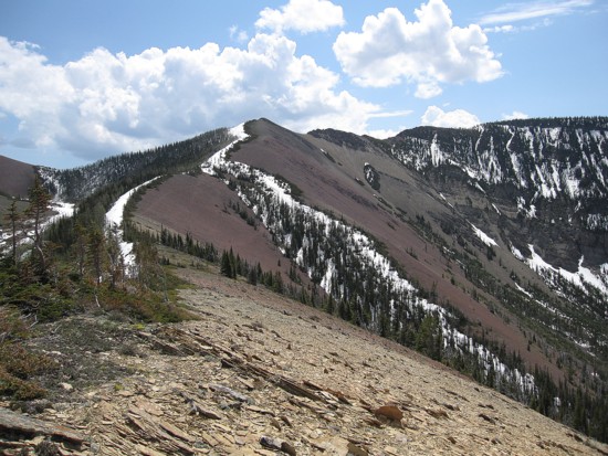
Part of Barnaby
Ridge
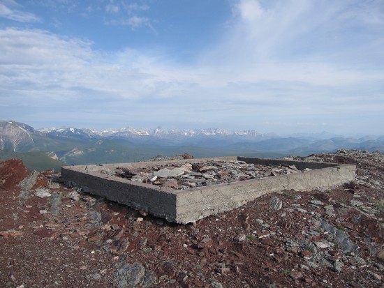
What's left of the Whistler
Mountain Lookout
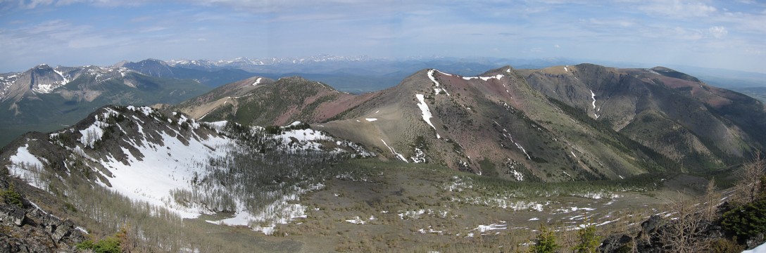
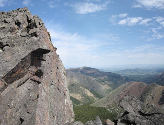
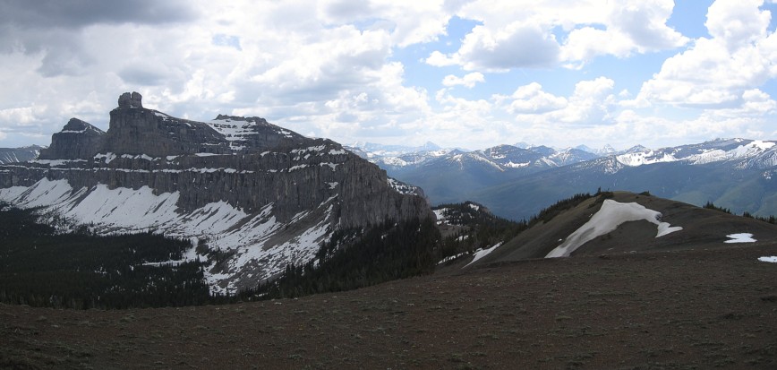
Whistler Mountain
(left foreground), Larry
and Frankie
(distant centre), Castle
Peak (distant right)
More of Barnaby
Ridge
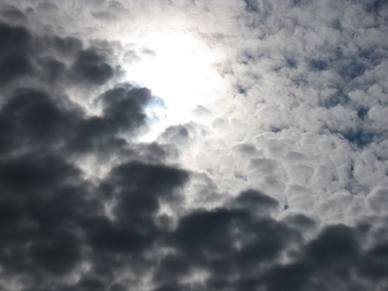
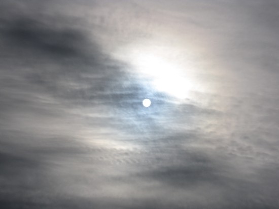
Interesting clouds and the Sun
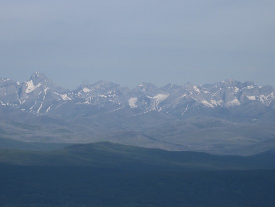
A hazy view towards Mount
Darrah (far left), Pengelly,
and McGladrey;
the peak at the far right is unnamed and is higher than all the others
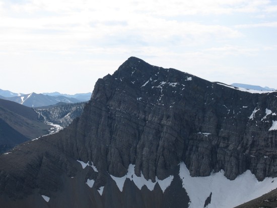
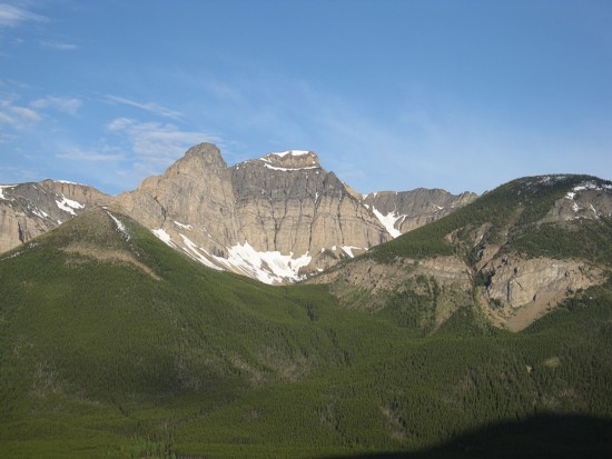
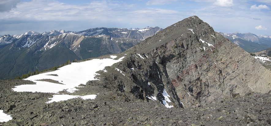
The north face of Larry
Mountain
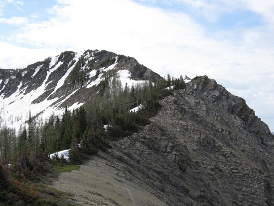
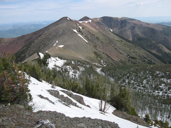
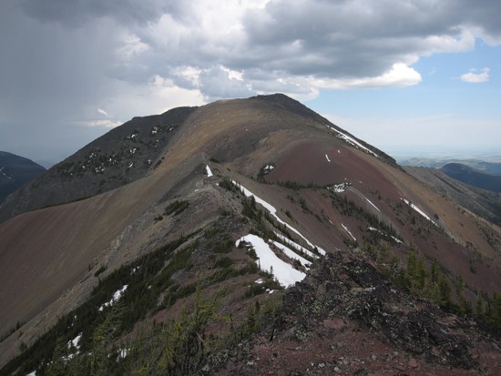
The ridge to Frankie
Peak
Looking back
to Whistler
(left) and the GR to the east
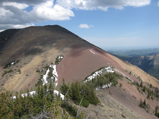
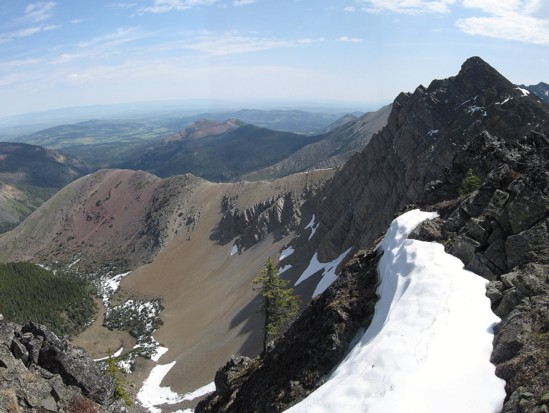
Looking west and northwest from the summit of Frankie
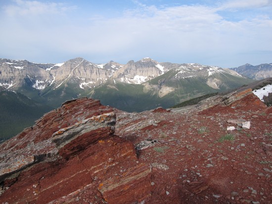
Table
again

The awesome drop down the north face of the connecting ridge of Frankie and Larry
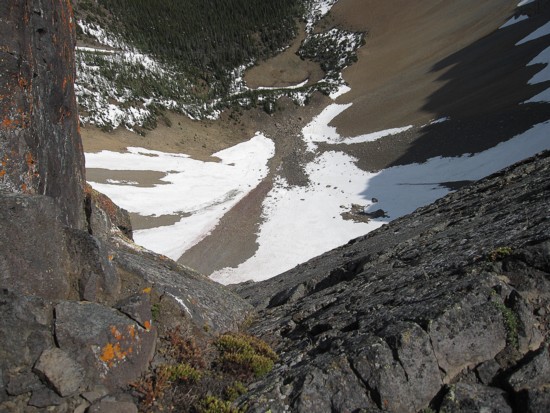
Same as above
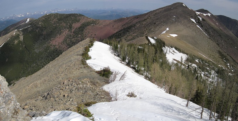
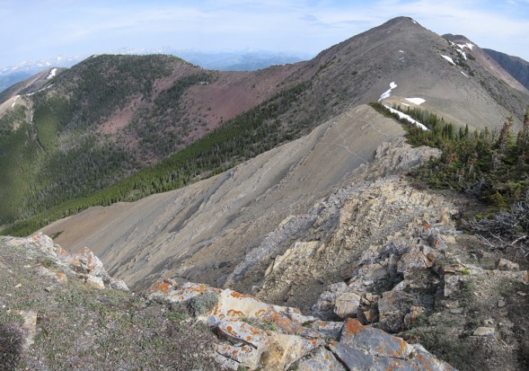
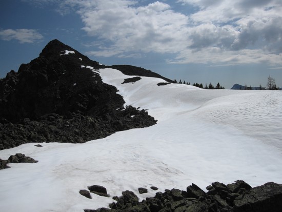
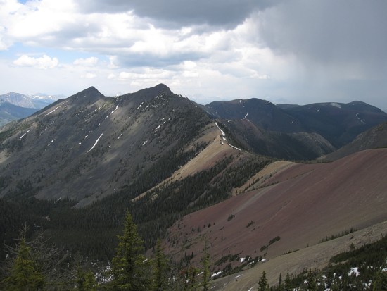
The ridge and Larry
Mountain
Larry Mountain
Looking back to Frankie
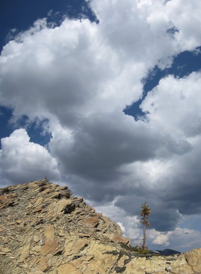
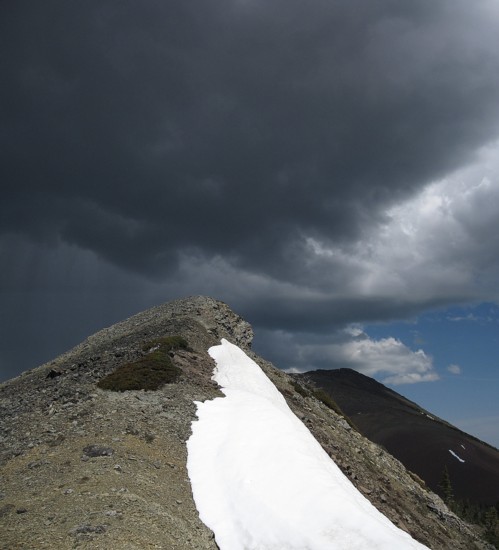
A small tree and developing storm clouds
The ridge to North
Castle
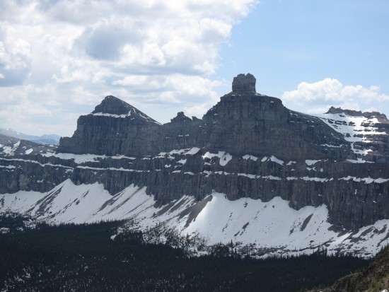
Windsor
Mountain (left) and Castle Peak
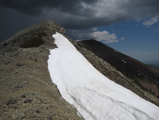
The storm clouds get darker
Looking back to Frankie
and Larry
Gladstone
again
The first part of the descent
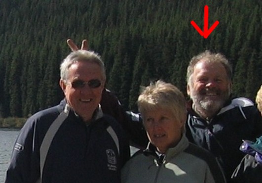
The namesake of "Larry Mountain" (on the right); he's very mature for his age