Mount Lillian and GR224359
September 18, 2016
Mountain height: 2890
m
Elevation gain: approximately 1700 m
Roundtrip time: 10:35
Solo scramble
If you have never heard of Mount Lillian, you
are probably not alone. Lillian (I assume due to its close proximity to Lillian
Lake) appears on the map as an unnamed, inconspicuous bump, due north of the
Galatea Lakes and east-northeast of Mount Engadine. A brief route description
up the south side of the mountain is outlined in David P. Jones’ fantastic new
guidebook, The
Climber’s Guide to the Rocky Mountains of Canada (Rockies Central), with legendary climber John Martin
making the first recorded ascent in 1981.
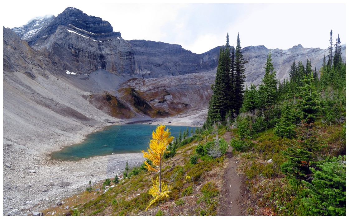
Attempting this trip was also the perfect excuse to make my first visit to the apparently very scenic Galatea Lakes. It took about 2 hours to reach the first lake and the lake certainly didn’t disappoint – a deep greenish/blue colour, rocky on one side and treed on the other – quite scenic! The second (Upper) lake was equally impressive.
 Although there were many potential routes up the mountain, I chose
the easiest looking one, via the southwest face. John Martin’s route took the
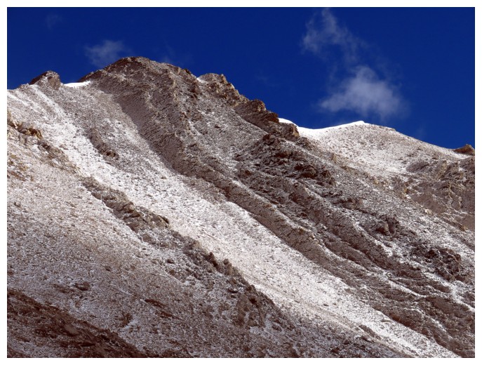
much steeper south face. The slog to the summit ridge started off well, but
quickly degraded to steep, treadmill scree and rubble. And, holy smokes, was it
foreshortened, taking 2 full hours to ascend the 700 vertical metres of
terrain.
Although there were many potential routes up the mountain, I chose
the easiest looking one, via the southwest face. John Martin’s route took the
much steeper south face. The slog to the summit ridge started off well, but
quickly degraded to steep, treadmill scree and rubble. And, holy smokes, was it
foreshortened, taking 2 full hours to ascend the 700 vertical metres of
terrain.
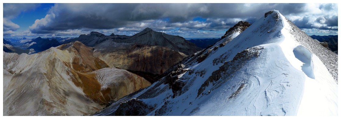
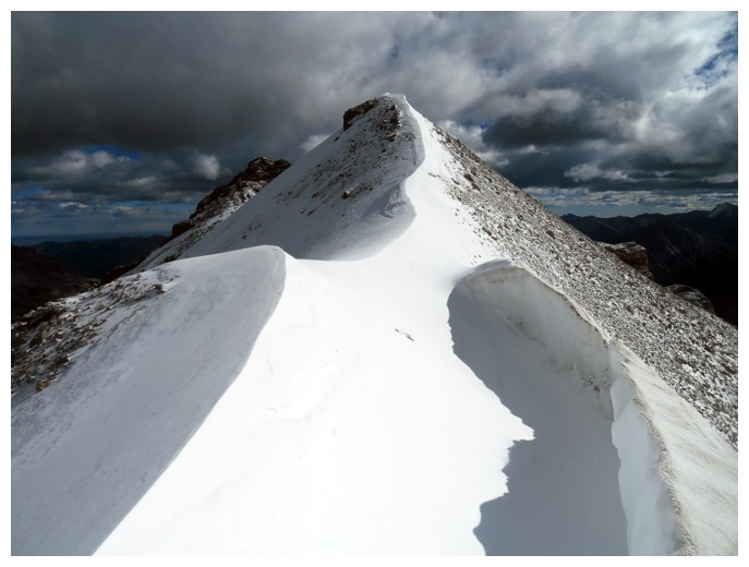
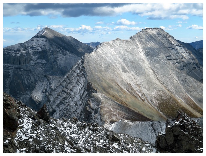
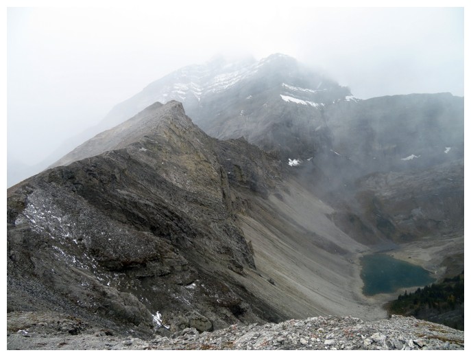
Thankfully, the reward of that slog was some
pretty sweet views of Mount Bogart and a bunch of others to the north. The
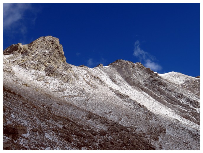
other interesting view was that of the narrow and snowy ridge to the east,
towards the summit – my friend Evan Roberts would say, “That looks spicy!”
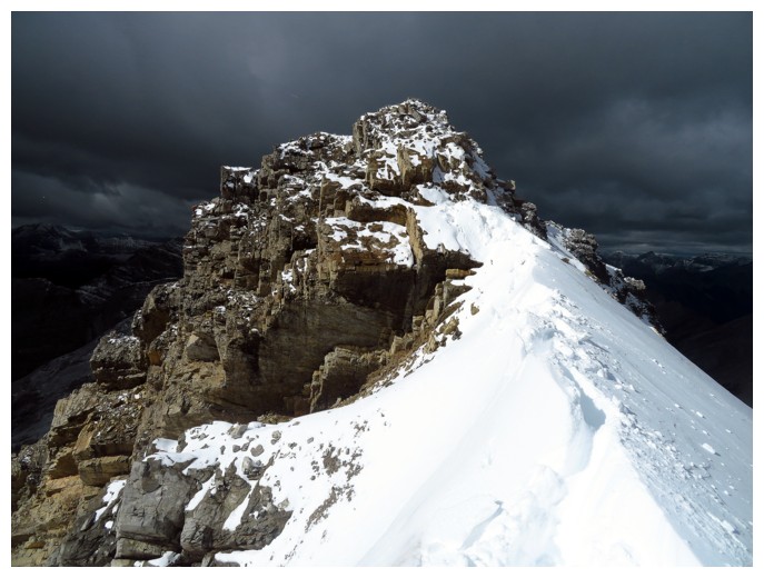
Regretting I didn’t bring crampons and an ice
axe, I carefully made my way across the ridge and to the also “spicy” looking
summit block. There were a couple of interesting moves along the way, but
nothing as scary as I was expecting. The summit block also had far more bark
than bite and was ascended with relative ease.
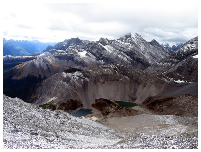
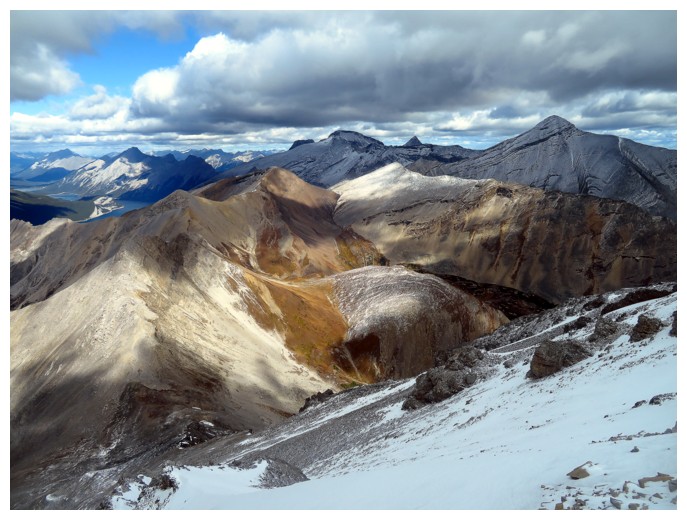
Even with cloudy skies, the summit view was fantastic,
especially towards The Tower and Mount Galatea. A look down the north side of
the mountain revealed a potentially easier route from Buller Pass. After a long stay, I retraced my steps across
the ridge and then took a different descent route down to the Upper Galatea
Lake. Since time was not an issue I decided to explore the lake a little. From
afar, the upper lake appeared to have something resembling a beach and guess
what – there is
a beach at the end of the lake. Not quite Maui, but for the Canadian Rockies, a
pretty respectable stretch of sand! Surprisingly (but not surprisingly) there
is also a section of coral rock protruding from the sand!
I circled both lakes and then started the
descent. However, the highpoint (GR224359) on the south side of the lower lake
had been beckoning me for most of the day and I couldn’t resist a little
diversion up to the summit. From the top, the view of Lillian Lake was pretty
cool.
Once again, upon starting down, the lure of a
higher point to the west, put a descent briefly on hold. Briefly, because minutes
after leaving the summit, the entire area was hit by a vicious snowstorm. I was
pretty much forced to run down the mountain in order to get to a less hostile
environment. Guess the other highpoint will have to wait! The remainder of the
descent was easy, though a little slick with the new snow on the trail.
A great trip that I’m definitely motivated to repeat, perhaps from the Highway 742 side.
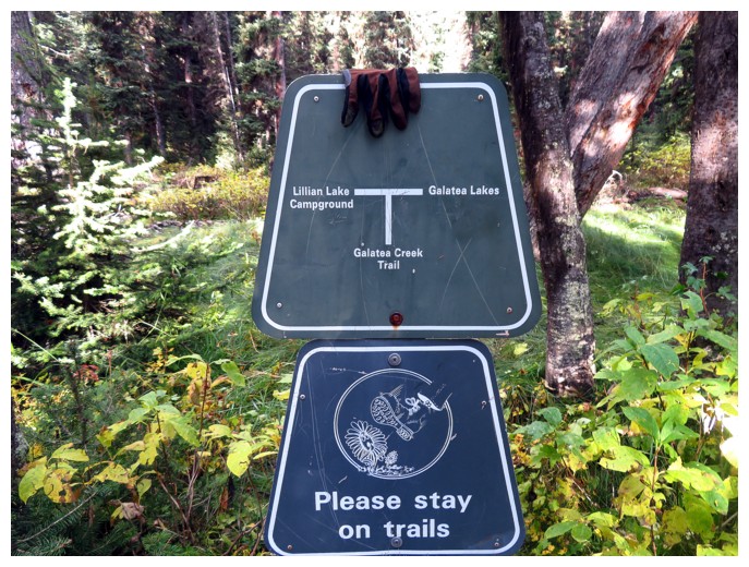
Someone left their hand on the trail sign
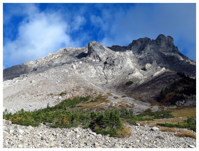
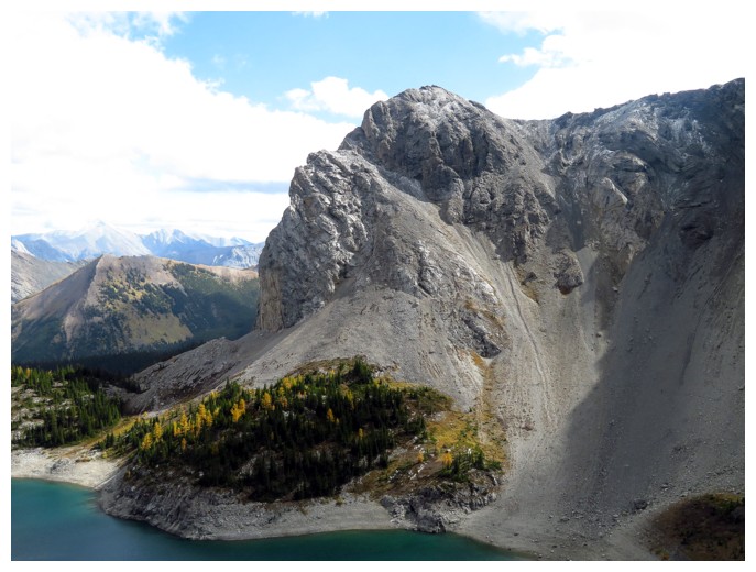
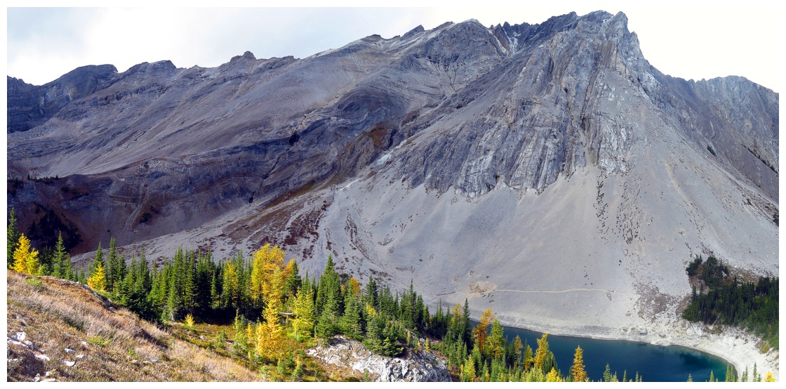
The southeast side of Mount Lillian
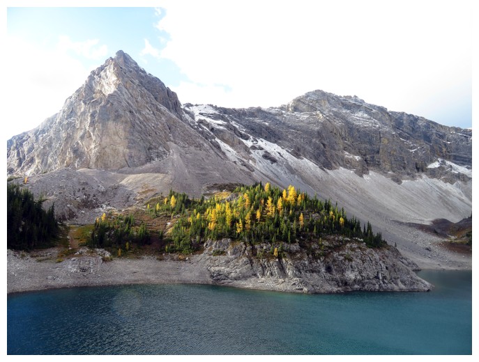
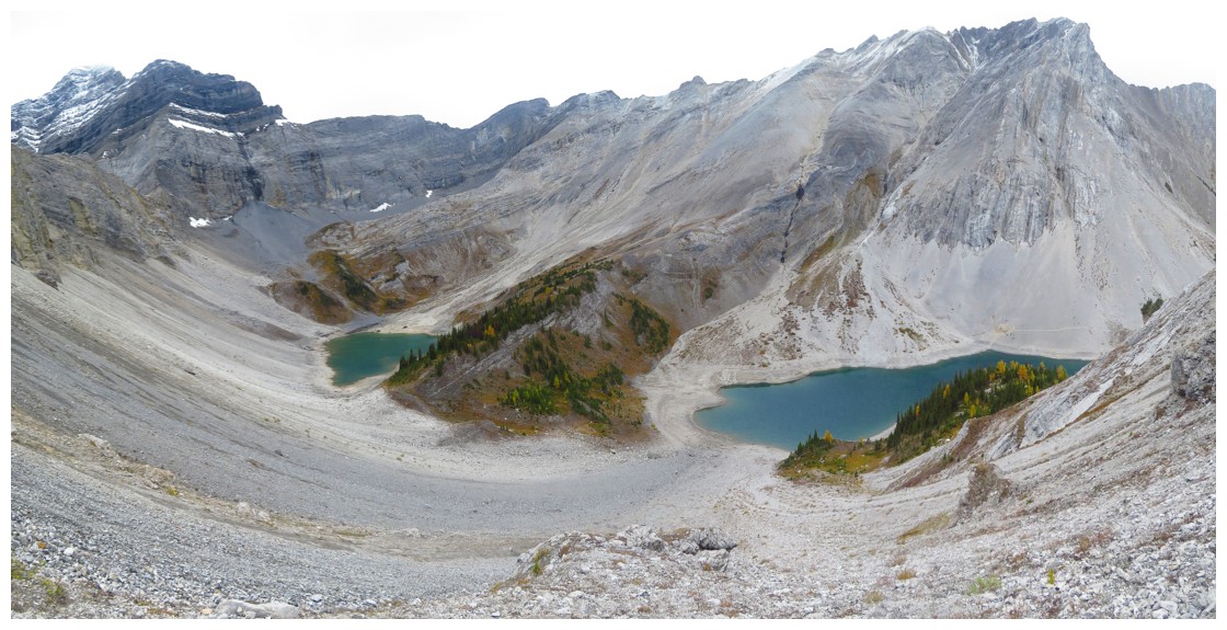
Looking across the lower Galatea Lake to GR224359 at the left
The Tower and dark clouds coming in from the west
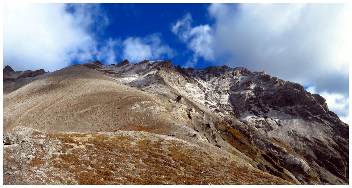
Approaching the summit ridge. The route I took went around the right side of the big outcrop at the left.
The best weather of the day
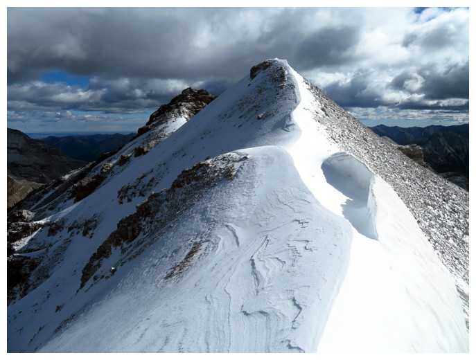
A surprising amount of snow on the summit ridge
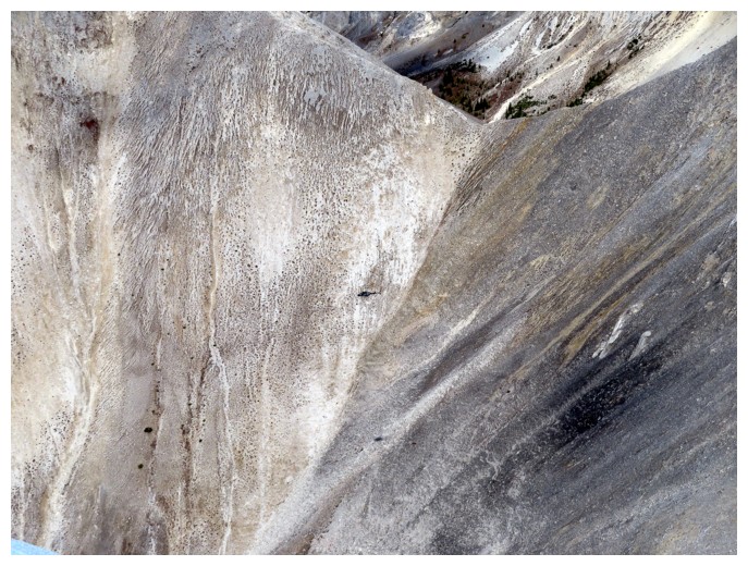
A helicopter, far below
Looking back along the ridge
Interesting curves of snow
Red Peak (foreground) and Mount Bogart (right)
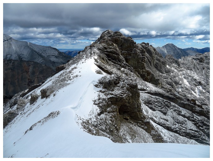
Approaching the summit block
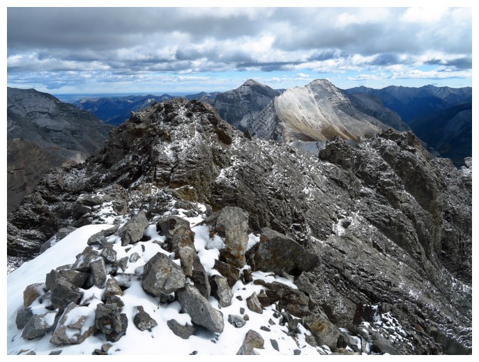
At the summit, looking east to the two summits of Mount Kidd
The Kidds
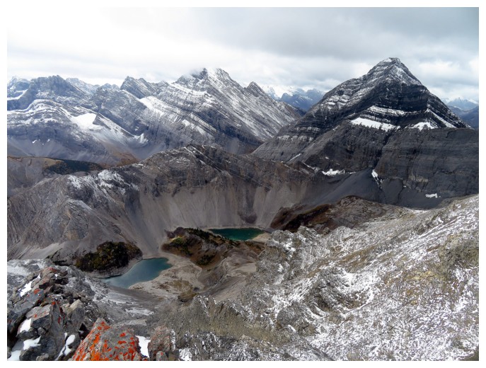
The Tower (right), Mount Galatea (centre), The Fortress (left) and the Galatea Lakes
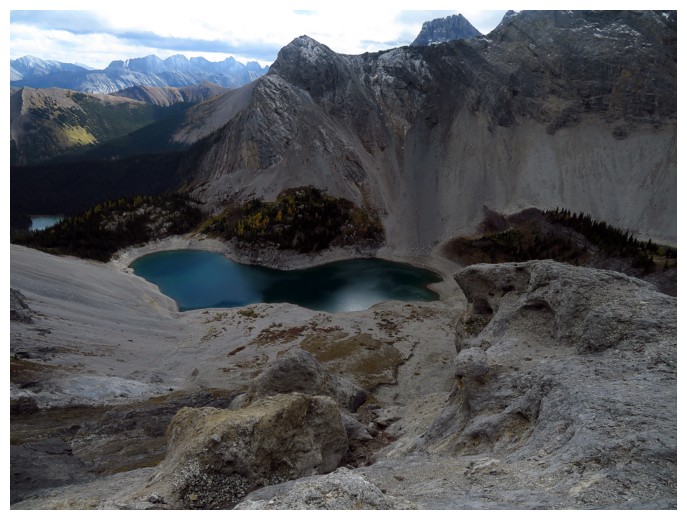
The lower lake
GR224359
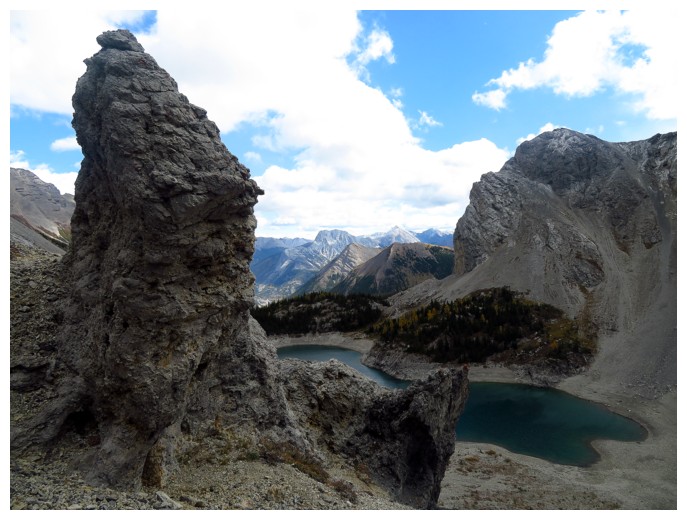
Same as above, with some weird rock pinnacles
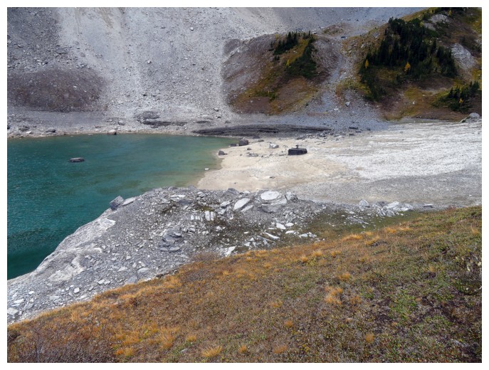
The beach and a lone black rock in the middle
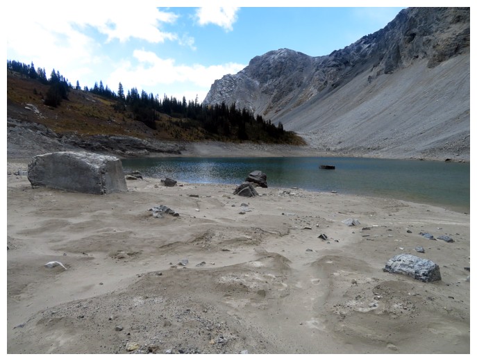
Same as above from eye level
The beach!
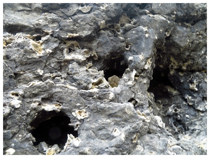
The coral!
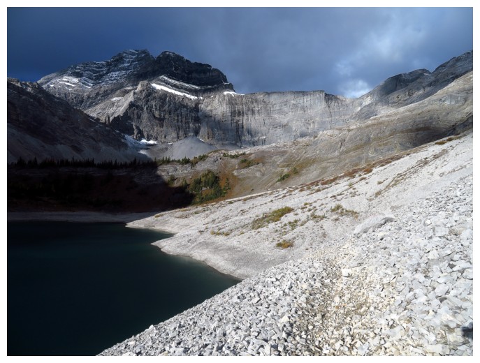
Looking back at the upper lake
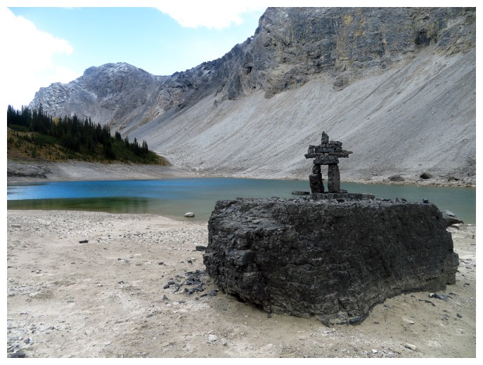
Mount Lillian from the south side of the lower lake
Heading up the GR
Leaving the summit before all hell broke loose
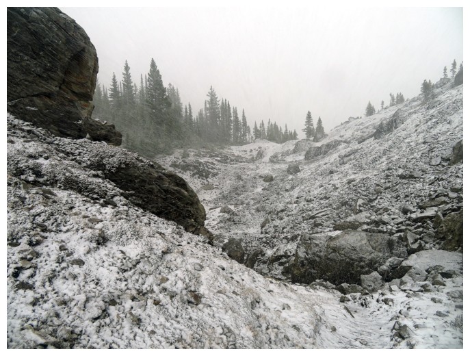
The results of the snow storm
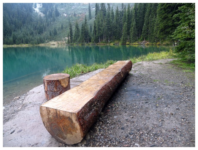
Nicer conditions back down at Lillian Lake