Lineham Ridge and GR593982 – July 1, 2006
Mountain height:
Lineham Ridge:
2689 m
GR593982:
2807 m
Elevation gain:
To Lineham:
950 m
To GR593982:
280 m
Ascent time to Lineham:
2:40
Traverse time to GR593982: 0:55
Descent time:
2:20
Solo scramble.
I guess it is better to be
lucky than good sometimes. I stumbled upon this terrific little scramble route
purely by accident. My initial objective was GR627936, a fairly significant
summit north
Thankfully, I did have another (and much shorter) objective as a back-up - GR593982 – the summit to the east of Lineham Ridge. If that route didn’t work, at least I might be able to get to the top of Lineham. Instead of taking the lengthy Lineham Creek approach and ascending the southeast ridge, I followed the Picklejar Lakes Trail. Fortunately, in my absent-mindedness, I missed the trail, marked on the map, which led to the summit of Lineham. This wasn’t terribly disconcerting, as gaining the ridge looked to be easy from all sides. Gaining the left skyline seemed to be an obvious route. It was and I was pleasantly surprised to find enjoyable scrambling along the lengthy ridge. Not only that, but the colours were great – the ridge was lined with blue, yellow, and purple flowers, and the rock colours would change every couple of minutes.
The ascent of GR593982 was not
as enjoyable as Lineham, however, at an elevation 100 m higher than Lineham, it
did offer a better view (especially the striking
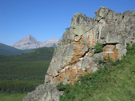
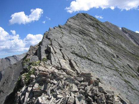
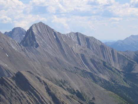
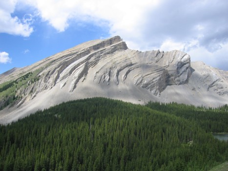
One of the rock fins; Mount McPhail to the left
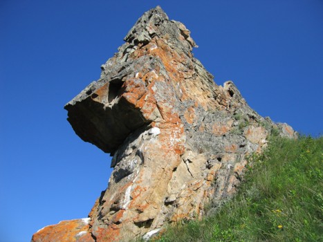
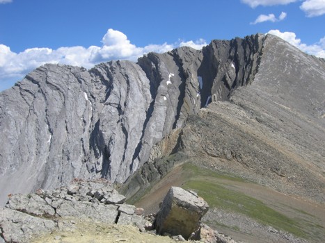
Another rock fin
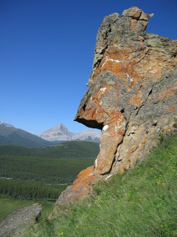
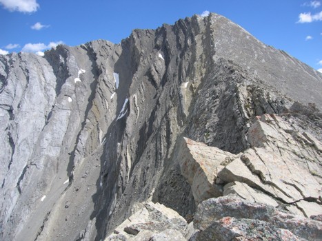
The same fin, again with McPhail behind
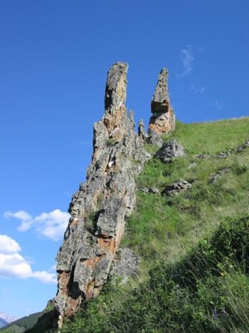
A different view of the fins
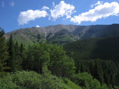
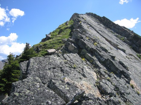
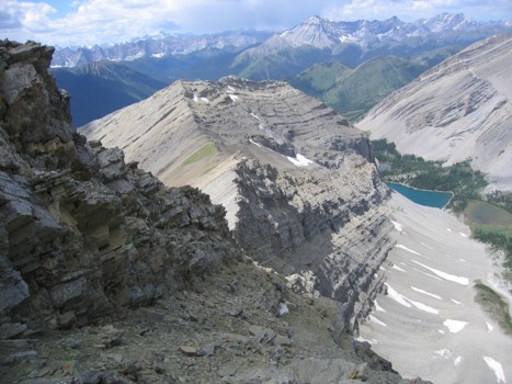
Lineham Ridge; ascent route follows the left skyline
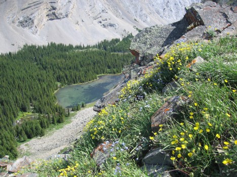
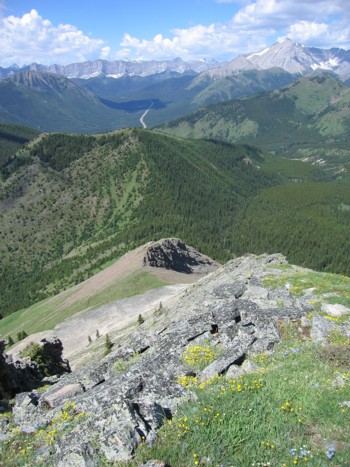
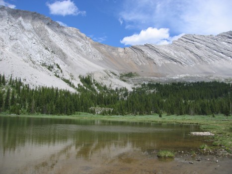
Looking down to the first Picklejar Lake
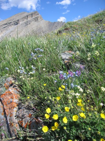
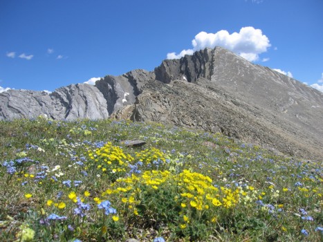
Colourful flowers on the ridge
Looking down to the third and most uniquely coloured Picklejar Lake
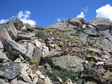
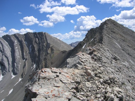
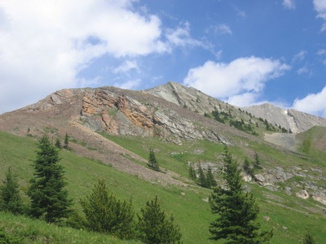
Typical terrain on the ridge
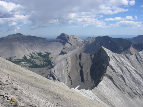
Looking down the ridge; Mist Mountain at far right
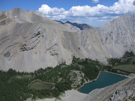
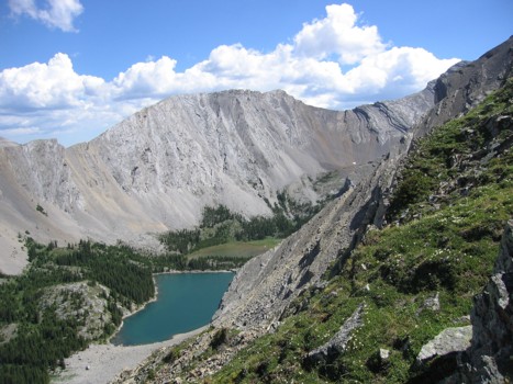
The second and third lakes
More interesting colours
Enjoyable slab scrambling on the ridge
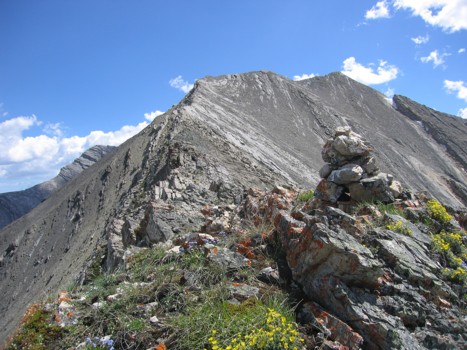
One of a few false summits, with the true summit right of centre
Approaching the true summit, with GR593982 to the left
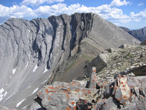
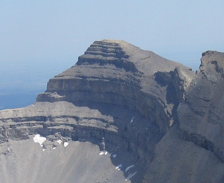
GR593982
The original objective of the day - GR627936
On the way down to the col
More flowers and GR593982 again
Typical terrain on the ascent
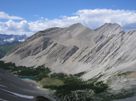
Looking back to Lineham Ridge and the lakes
A view of the Dogtooth Mountains to the east; Pyriform at the far left
A closer look at one of the Dogtooth Mountains
Descending towards the lakes
The fourth lake
The unnamed ridges above the lakes
The colourful ascent ridge
HOME
SCRAMBLES
MOUNTAINEERING
OTHER TRIPS
PHOTO GALLERY
LOG
FAVOURITES
LINKS