Mountain height:
2422 m
Elevation gain:
670 m
Ascent time:
2:20
Descent time:
2:00
Scrambling with Mark.
This was just what The Doctor
ordered. After suffering a dismal and physically devastating defeat on lowly
It turns out our timing was
pretty good, as we weren’t aware that Highway 940 is closed from Dec.10 to
April 30. 24 hours later, we would have been denied access to the peak. The crux
of the day occurred before we even got out of the car. The logging road that
branches off the 940 and leads to
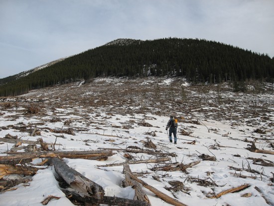
A short hike over land left completely devastated by clear-cutting, preceded the pleasant ascent, up lightly forested slopes. Soon we were on the ridge, which provided more interesting and pleasant travel. A temporarily clear sky and some remaining snow made this the most scenic part of the day. As well, shapely peaks of the Continental Divide started to appear on the western horizon. Unfortunately, the sky began to cloud over as we reached the false summit. It would remain that way for the remainder of the trip.
We reached the highest point of the mountain and then continued over to the slightly lower summit further north. Since there didn’t appear to be any chance of clearer skies, we returned to the false summit and then took an alternate descent down the south ridge. Though a little longer, this descent route was enjoyable and offered us a look at the more daunting south and southeast sides of the peak, as well as a potential route up the north ridge of Coffin Mountain, to the south. From the valley bottom, a short hike took us back to the car. Overall, a very enjoyable and easy trip, requiring minimal effort and very little time.
Clear-cutting on the southwest side of the mountain
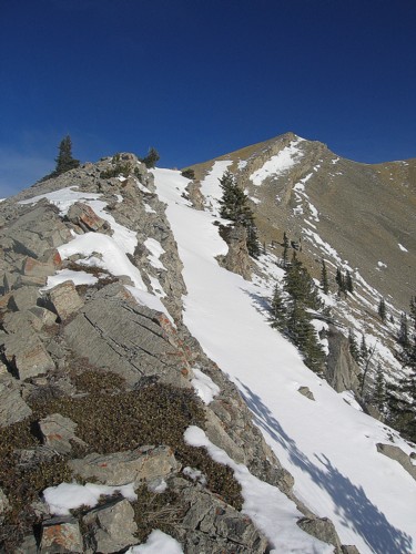
On the ridge, with the false summit ahead
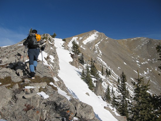
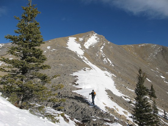
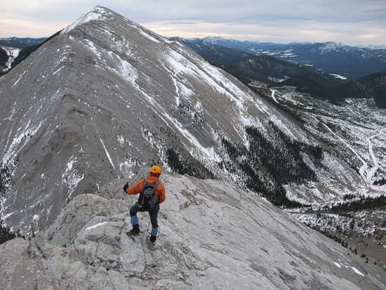
Mark comes up the ridge; Coffin Mountain to the left
More ridge
.......and more
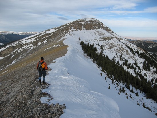
Starting the easy slog to the false summit
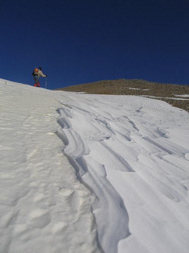
Halfway there
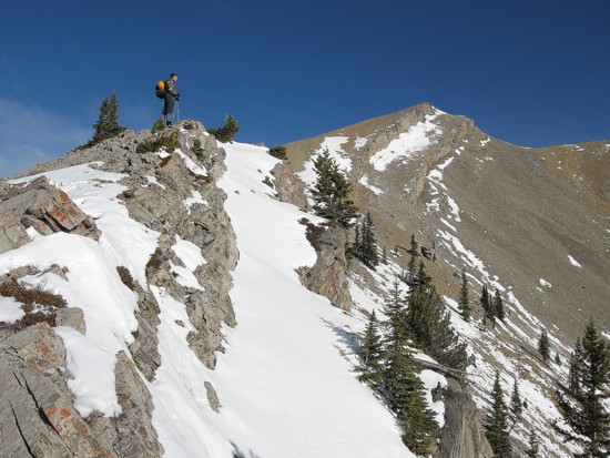
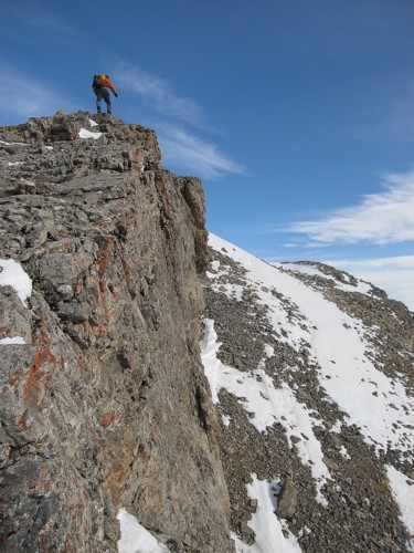
The cliffband to the right was a good 20 m high at some points
Hiking alongside the cliffband
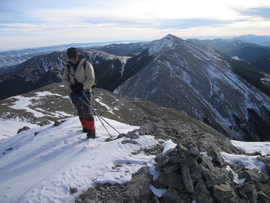
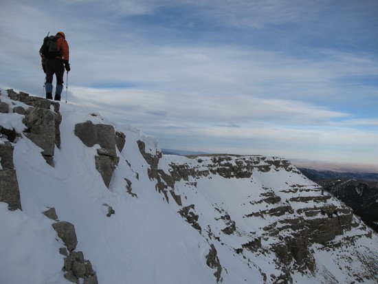
Mark at the false summit
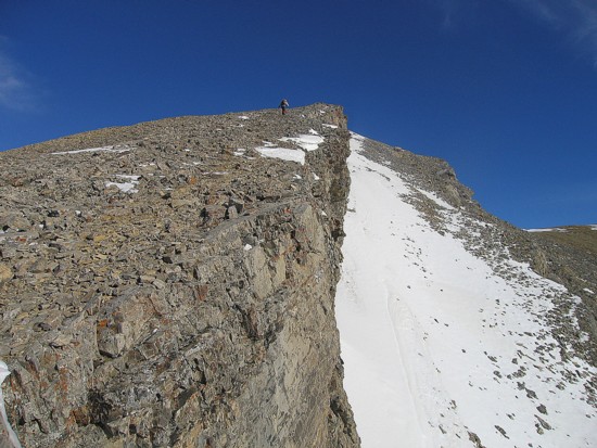
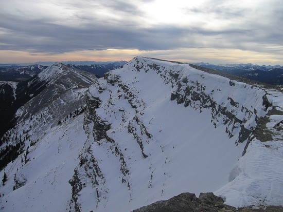
The connecting ridge to the summit
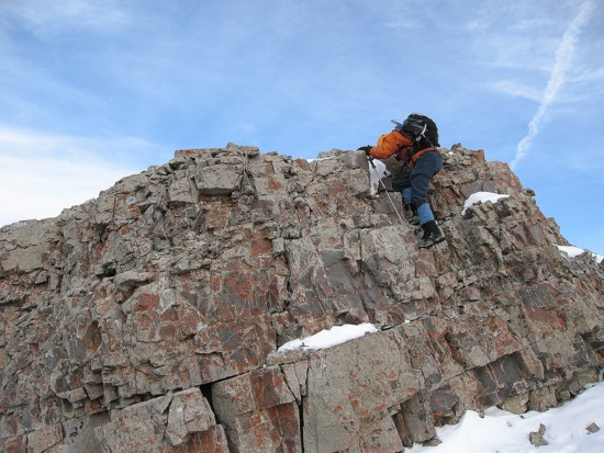
A little easy scrambling before the summit
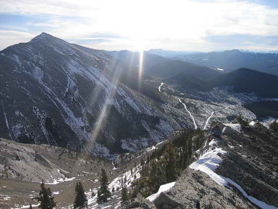
The scenic east face of the mountain
Looking back to the summit
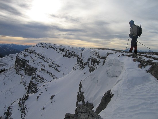
Same as above
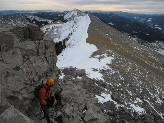
On return
Descending the south ridge, again with Coffin Mountain in front