Spionkop Creek and
Loaf Mountain V
July 15, 2018
Mountain
height: 2640 m
Elevation gain: 1000m
Ascent
time: 4:20
Descent
time: forgot
Solo
scramble.
The goal
of this trip was to hike the length of Spionkop Creek to the col between Loaf
Mountain and Spionkop Ridge, as described in Robert Kershaw’s Exploring the Castle.
I had hiked most of the trail as an alternate descent route from Loaf Mountain
during a spectacular trip in April of 2013 and previously as part of the Spionkop/Loaf loop; only the 3
km stretch from the southeast end of Loaf’s summit block to the col would be
new to me. However, this is such a beautiful area I thought the effort would be
worthwhile – it was and more!
 Finally!
To avoid the regret of previous trips, I wisely chose to bike the approach. In
fact not only is the 4 km gas road bikeable, but several kilometres of the
single track trail beyond the road is also conducive to a two wheel approach. The
hike then unfolded with a relative degree of scenic predictability. That was until I
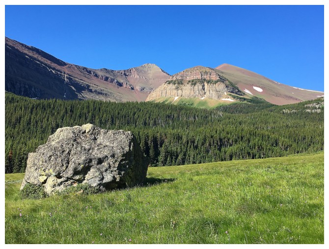
arrived at the aforementioned southeast end of Loaf’s summit block. With no
snow and the Sun in a favourable position this side of Loaf was absolutely
spectacular – a visual feast of multiple striking layers of colourful rock.
Wow!
Finally!
To avoid the regret of previous trips, I wisely chose to bike the approach. In
fact not only is the 4 km gas road bikeable, but several kilometres of the
single track trail beyond the road is also conducive to a two wheel approach. The
hike then unfolded with a relative degree of scenic predictability. That was until I
arrived at the aforementioned southeast end of Loaf’s summit block. With no
snow and the Sun in a favourable position this side of Loaf was absolutely
spectacular – a visual feast of multiple striking layers of colourful rock.
Wow!
Getting
to the col was not quite as earth-shattering as the view of Loaf, but still
thoroughly enjoyable in beautiful surroundings. Although I swore to myself I
would not go to the summit of Loaf (having visited the summit three times
already) the temptation was far too great. Why enjoy the clear skies and
windless conditions at a col when a summit is an easy hop, skip and jump away!
After the
classic awe-inspiring summit stay (standard for peaks in The Castle), I returned
to the col and then hiked up to a rounded highpoint between the col and
Spionkop Ridge. Needless to say, I was awfully tempted to run up to the summit
of Spionkop, but I was a long ways from the start and was more interested in
trying to work my way down to the small tarn below. I also didn’t think I could
ever match the summit view I experienced from Spionkop in September of 2017 – one day before the now infamous
Kenow fire devastated most of Waterton National Park.
The
descent to the tarn went very well, down slopes of interesting and, of course,
colourful rock. Also interesting was the descent from the tarn. I knew there
was a trail down the valley that joined up with the approach trail and so when
I found a prominent trail I thought I was home free – not so. All of a sudden this
trail completely disappeared and I spent a good hour bashing through some very
nasty bush, eventually stumbling upon the even more prominent trail that I
should have taken from the tarn. At least the trip ended well, with a wonderfully
relaxing bike ride back to the start.
Yet another
totally amazing day in The Castle – I’m shocked!!
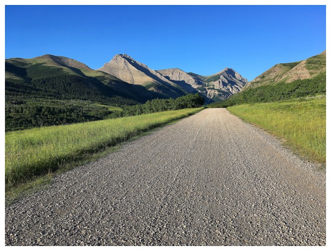
Biking the gas road
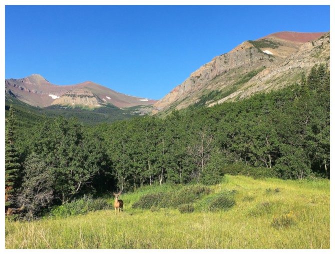
The trail goes into the trees here but is very obvious. Note the deer in front.
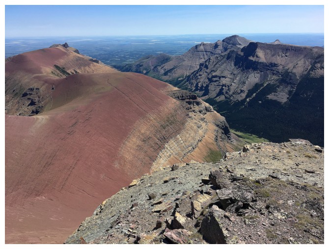
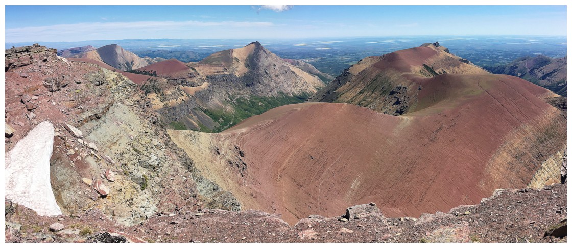
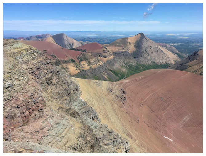
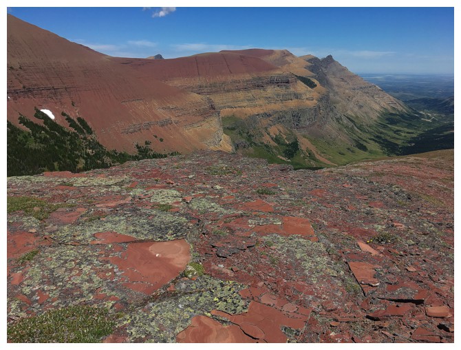
Spionkop Ridge at the far left
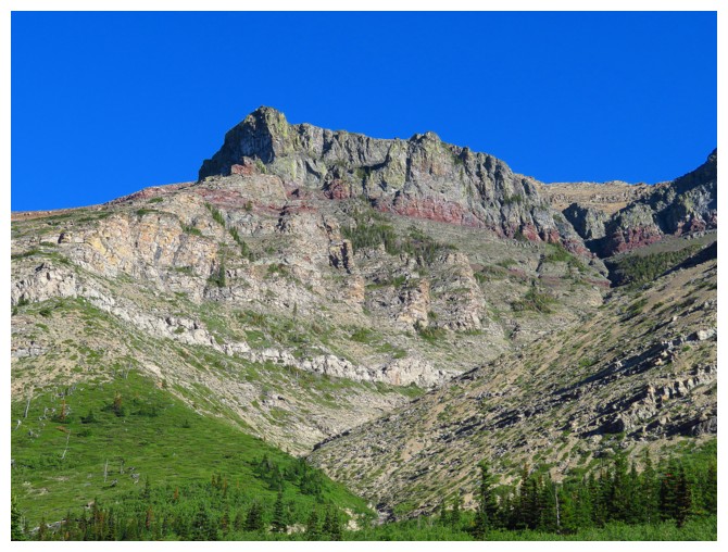
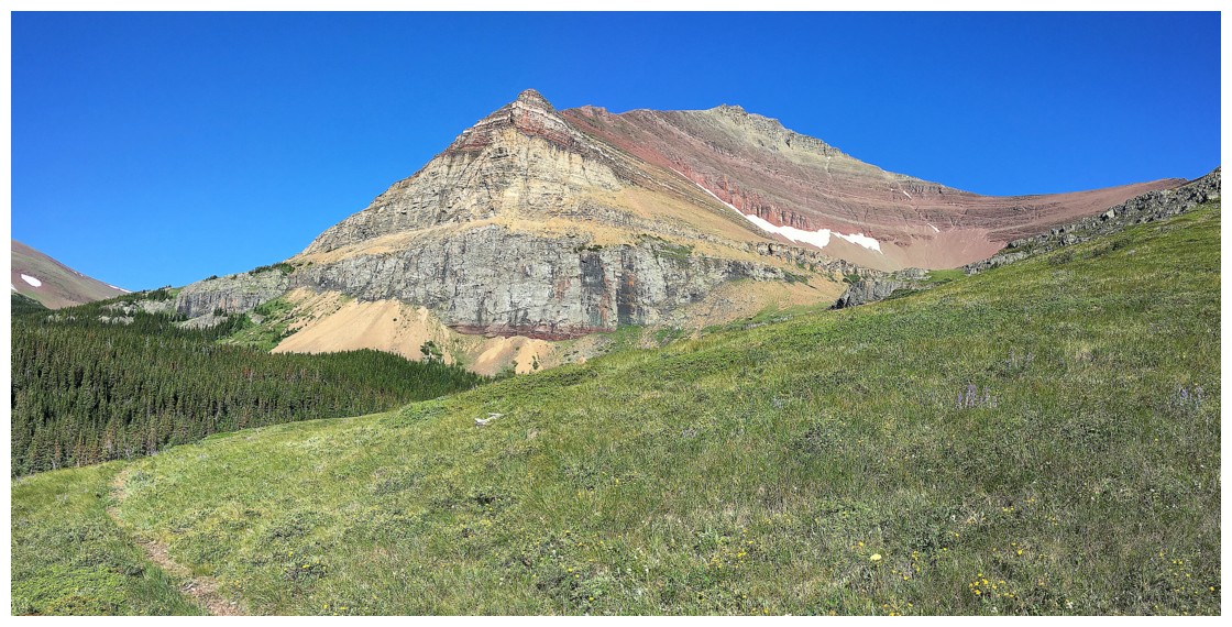
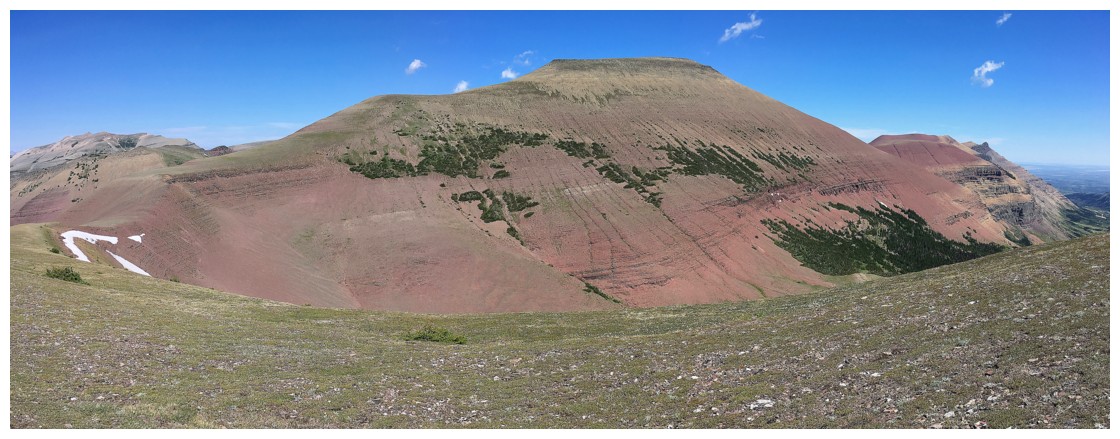
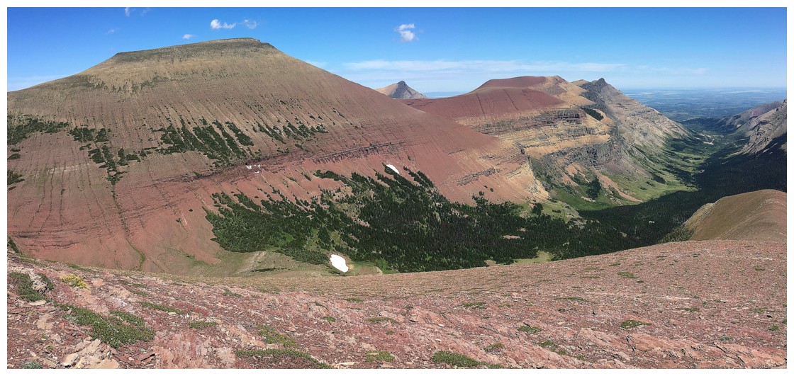
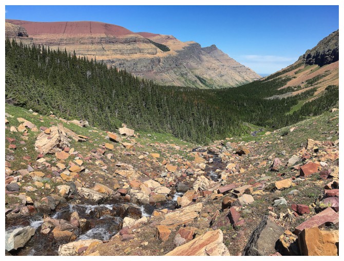
The impressive and colourful south side of Loaf Mountain
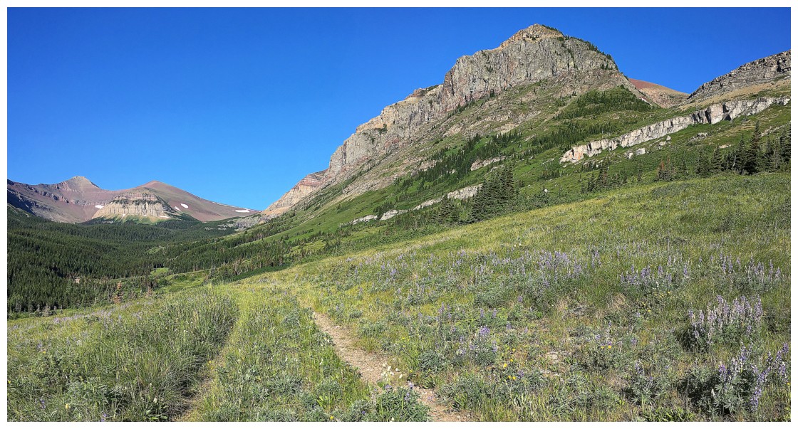
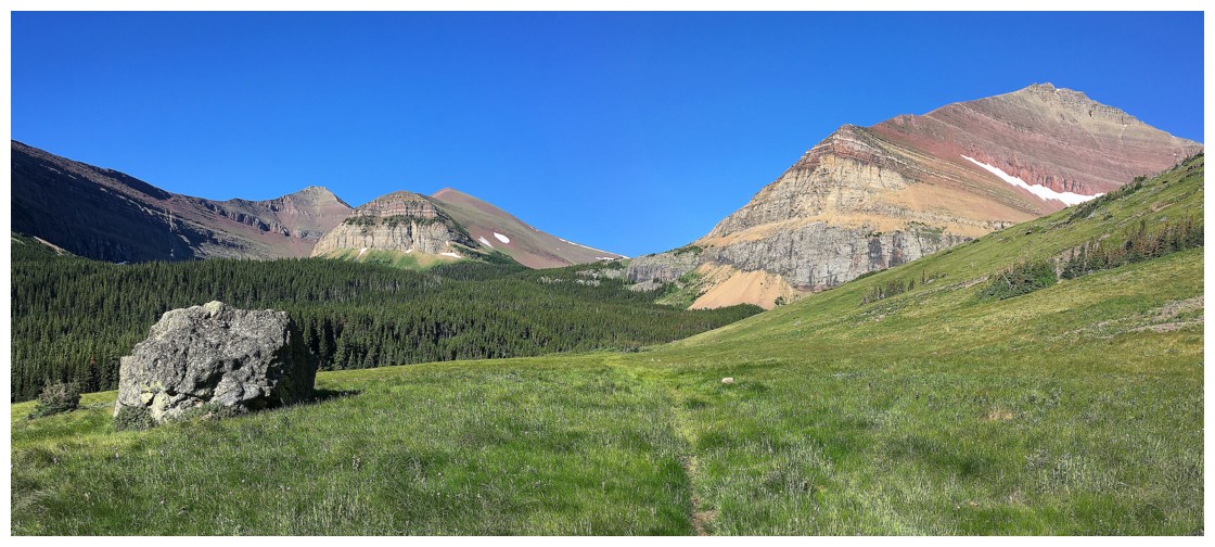
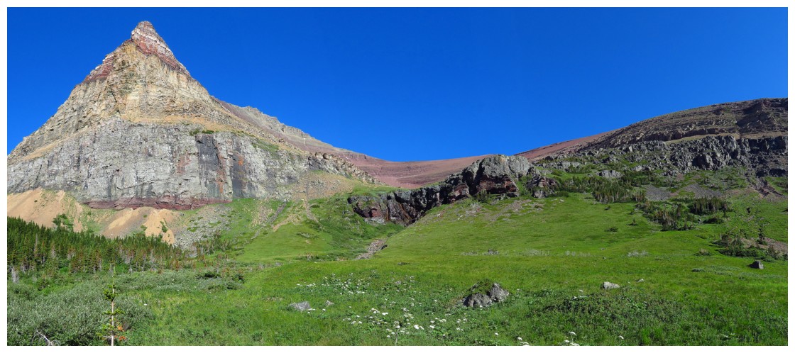
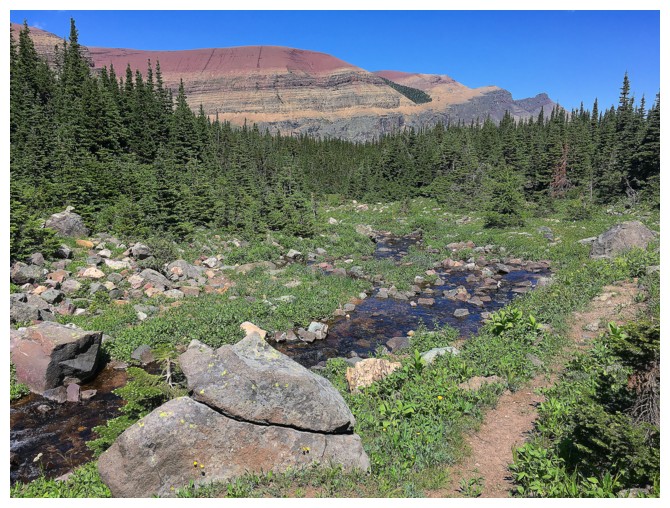
Easy and scenic travel up the valley
Here comes the southeast end of Loaf!
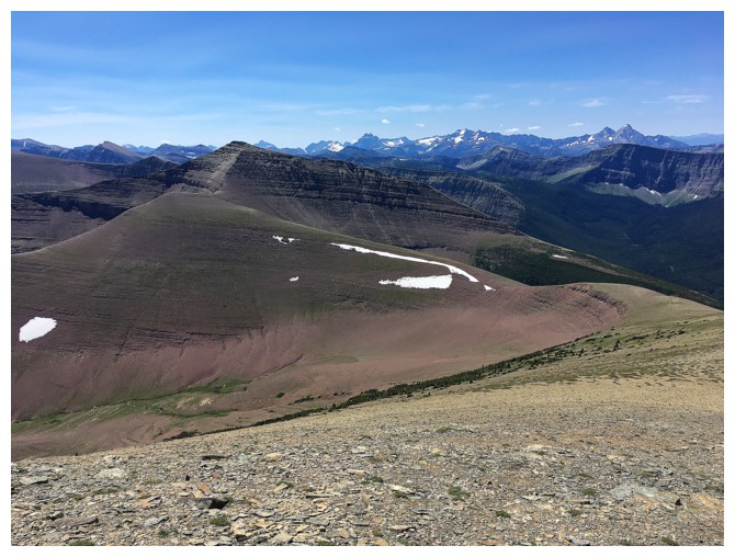
Spionkop (left) and the rounded highpoint
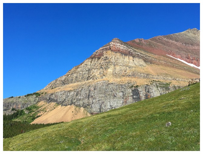
Insanely beautiful Loaf Mountain!
Same as above
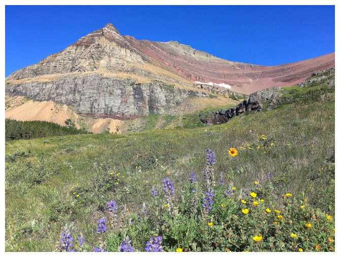
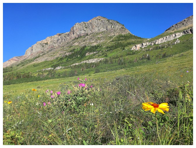
....with some wild flowers
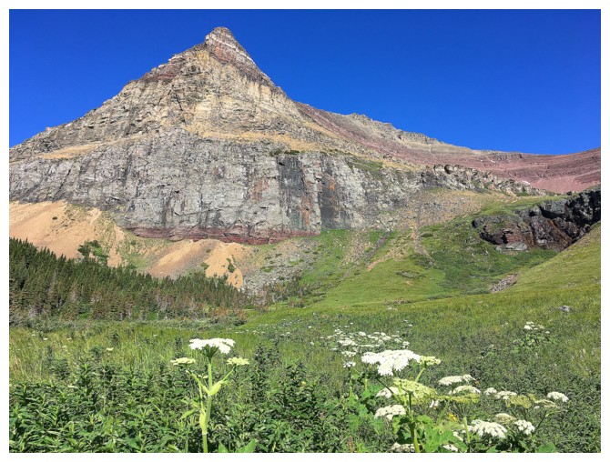
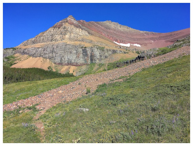
Moving to the south side of the summit block
There are many routes to the summit of Loaf from this point
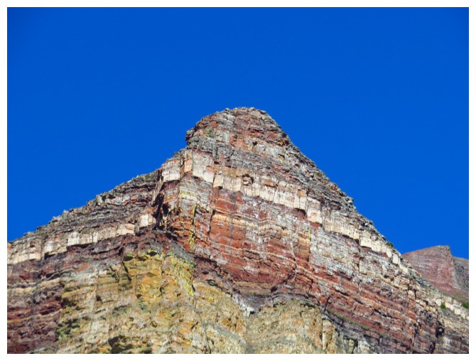
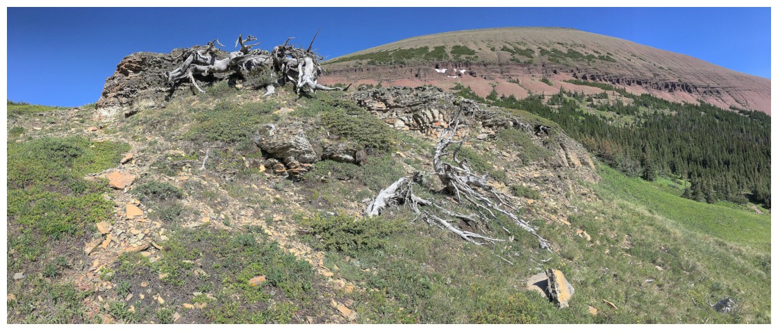
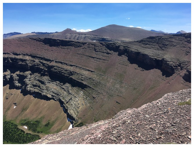
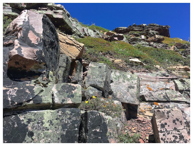
The numerous layers of rock near the summit ridge
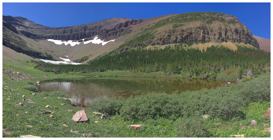
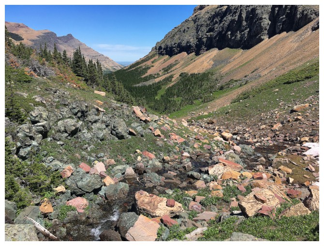
Continuing up the beautiful valley
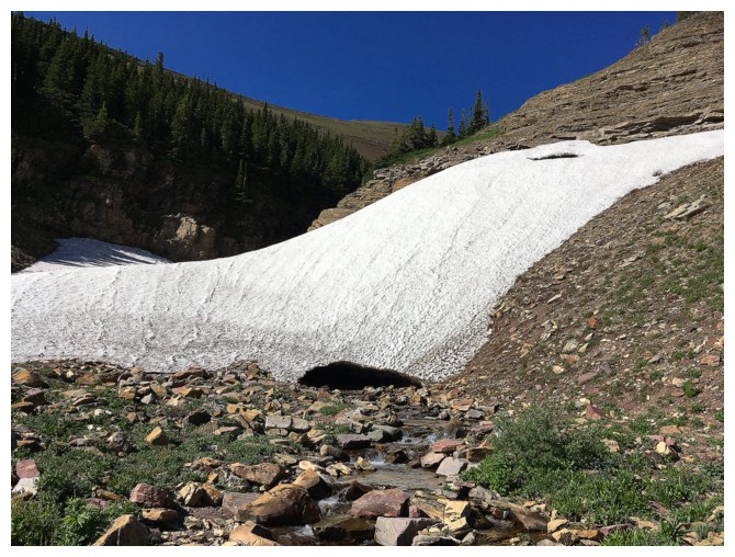
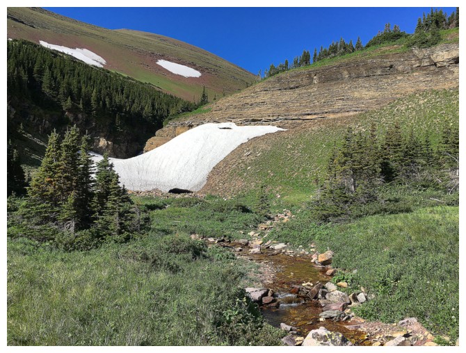
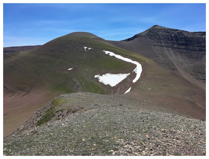
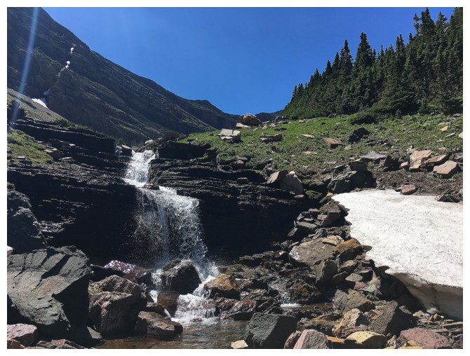
Big, persistent snow patch!
Looking over to Loaf from the snow patch
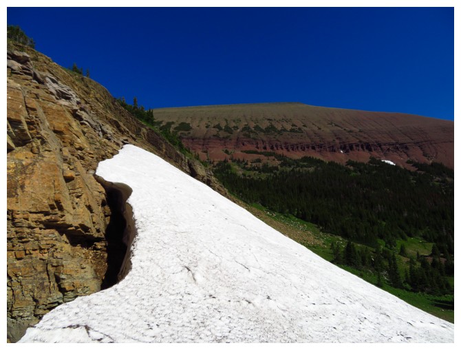
Almost scrambled up this, but it was very slippery!
Back on track to the col
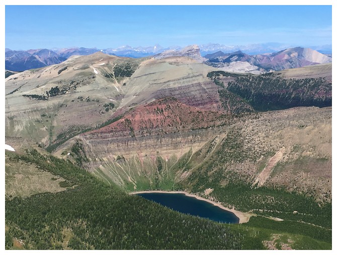
Looking down to Bovin Lake, en route to Loaf's summit
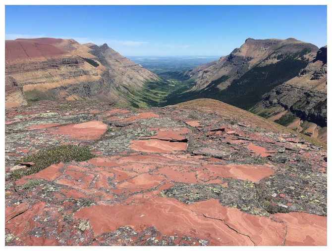
Drywood Mountain above Bovin Lake and stretching out far to the east
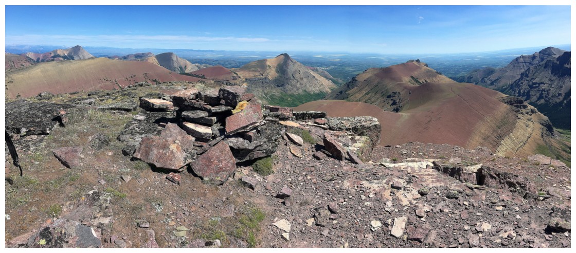
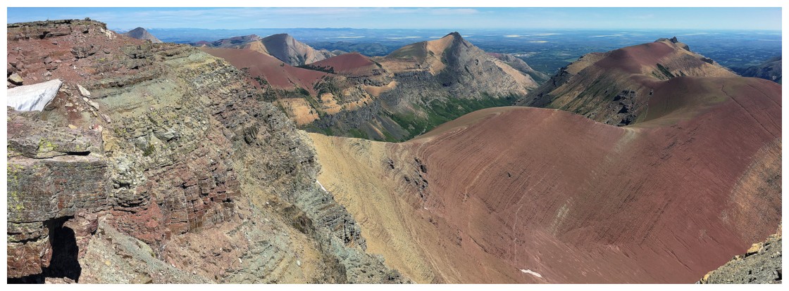
Summit view
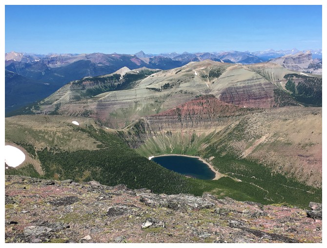
Bovin Lake again!
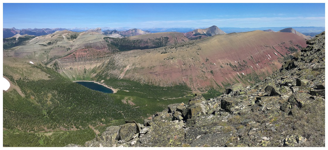
Wandering around the summit area provides different views of Loaf's long, snake-like east ridge
Drywood Mountain and Pincher Ridge certainly enhance the view
Returning to the col
The rounded highpoint is ahead and Spionkop Ridge to the right
Looking back to Loaf
Initially I was going to descend these slopes, but they were very steep and snow covered near the bottom
Loaf again
Descending the east ridge of the highpoint
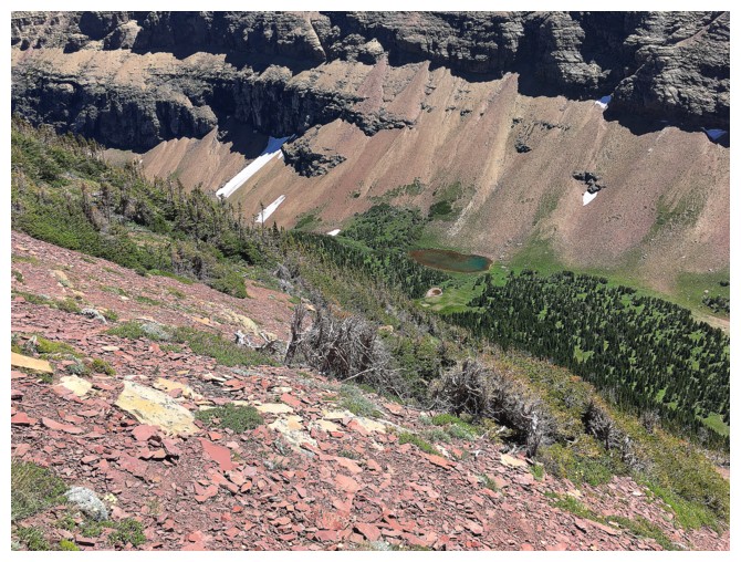
The tarn below
Terrific rock
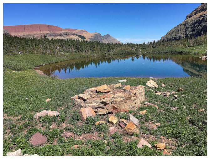
At the tarn. It was quite small and very shallow. I wouldn't be surprised if it dries up completely each summer.
Looking back at the tarn, highpoint and descent route
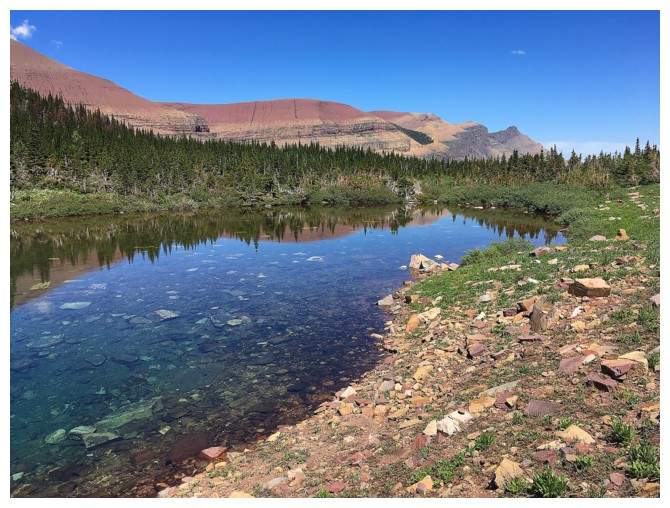
Great terrain for the first part of the descent from the tarn
...with great views of Loaf
The prominent trail I took and the nasty bush ahead where the trail disappeared
The End