Loaf Mountain exploration
April 22,
2019
Elevation
gain: 830 m
Roundtrip
time: 6:20
Solo scramble.
It’s
really too bad for me that some well-meaning, but slightly misguided
philanthropist doesn’t randomly decide to give me $100 every time I
write “some of the best rock scenery I’ve ever seen” in one of my trip
reports
– I’d be long retired! In my defense, when you spend a great deal of
time
hiking and scrambling in The Castle, Waterton, and Glacier National
Park
(Montana) that’s exactly what you are going to get.
 Loaf Mountain continues to assert itself as one of the
most interesting mountains in southern Alberta/northern Montana – perhaps a
little ironic for me, as I found my first ascent of Loaf to be somewhat
lackluster and even boring at times!
Loaf Mountain continues to assert itself as one of the
most interesting mountains in southern Alberta/northern Montana – perhaps a
little ironic for me, as I found my first ascent of Loaf to be somewhat
lackluster and even boring at times!
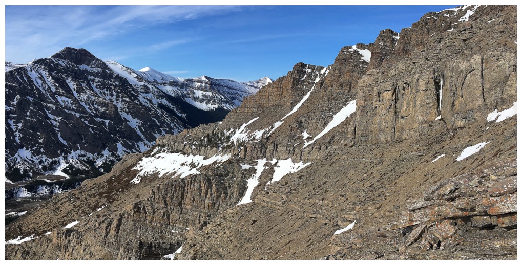
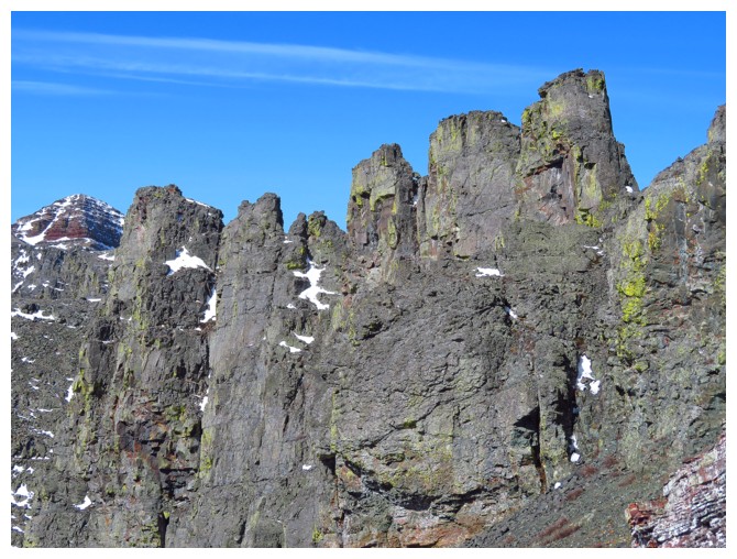
The goal of this trip was to check out to the stegosaurus-like
pinnacles on the northeast end of Loaf. From my 2006 attempt, I knew the
pinnacles could not be scrambled directly and from two ascents in 2013 on the
south side of the mountain I also knew that this was where many of Loaf’s rocky,
scenic treasures lie.
A depressingly slow 3 km bike ride (with almost as much pushing
as riding) preceded the ascent. I tried to convince myself that my slow biking
pace was mostly due to the strong headwind, but that was a tough sell, even for
me – I’m simply not that young anymore! The steep scree at the beginning of the
ascent was also not conducive to fast travel, but a few snow patches helped.
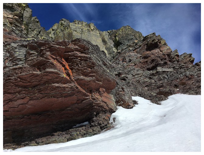
The scree soon gave way to what I came to see and
experience: fun scrambling and route-finding, amid stunningly beautiful rock. The
terrain did not disappoint! One rock band did provide a good challenge to get
up, but after traversing back and forth below it a few times, I did find a
weakness and continued up. More fun scrambling, more terrific rock!
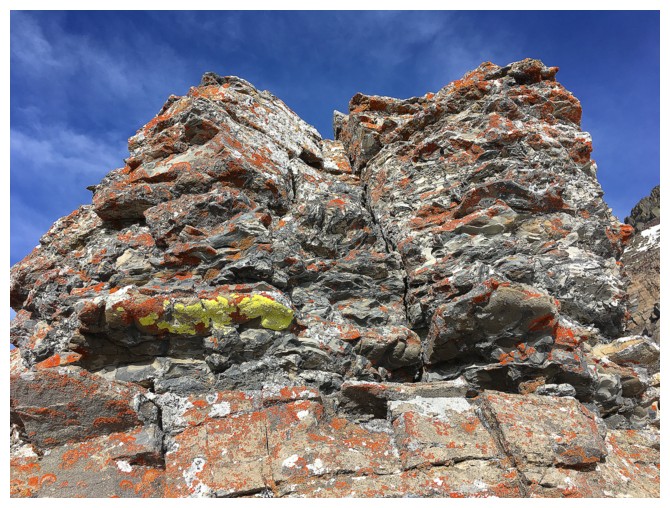
 I did eventually arrive at the pinnacles and more
awe-inspiring they could not have been. Surprisingly, there was an easy route to
get to a small gap between two of them. The gap provided a terrific view of
mountains to the north, including Drywood, Castle Peak, and Windsor Mountain.
I did eventually arrive at the pinnacles and more
awe-inspiring they could not have been. Surprisingly, there was an easy route to
get to a small gap between two of them. The gap provided a terrific view of
mountains to the north, including Drywood, Castle Peak, and Windsor Mountain.
That would be the end of the line for me this day. Barring
the event that I spontaneously transformed into Alex Honnold, ascending the
pinnacles was out of the question and traversing below them towards the summit,
though possible, would have made for a longer day than I was granted. Also, the
wind was really starting to pick up at this point and a hasty retreat seemed
prudent.
The hasty wasn’t so hasty. I did spot an alternate and direct
route down a snow-filled drainage to the gas road below, however, following one
the face’s many ridges looked to be way more scenic. Scenic it was, but fast it
was not, requiring minor detours and some down-climbing. Lower down, I did
traverse into the drainage, where travel was fast and easy.
The bike ride back was also a blast. Mostly downhill and
with a very strong tailwind, I was back at my car in no time.
Wickedly cool day out, with some of the best rock scenery
I’ve ever seen!
(cha-ching!!!)
Stopped on the bike ride in to check out The Muffin and some of its very cool rock scenery!
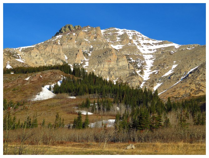
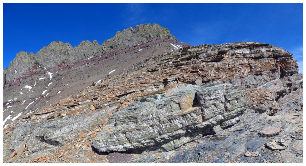
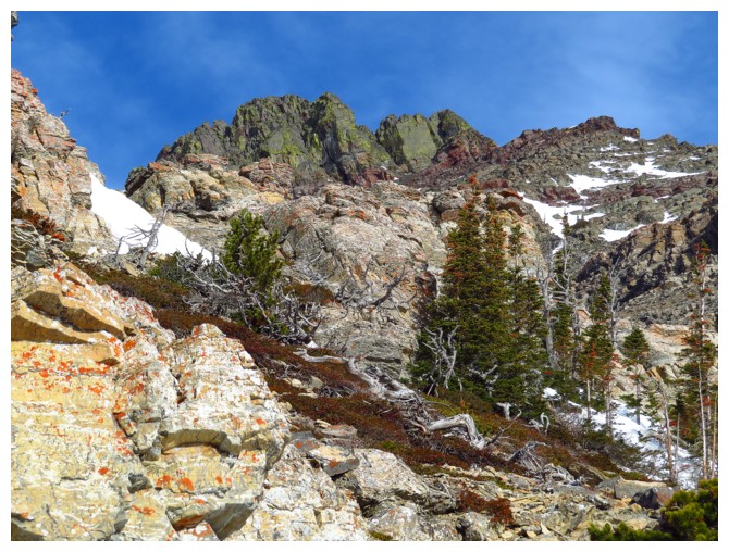
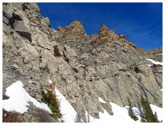
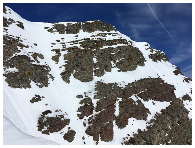
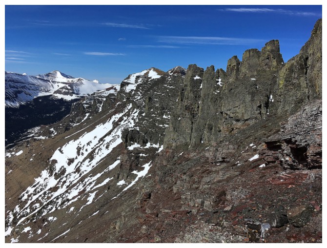
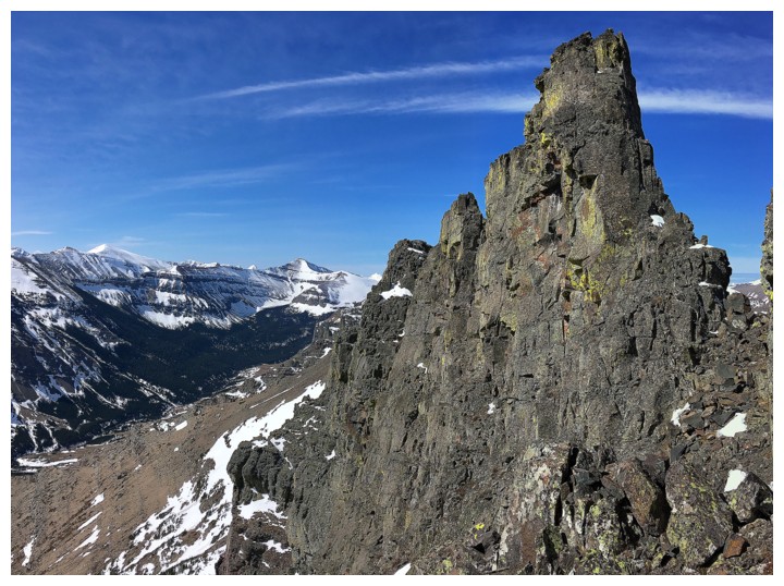
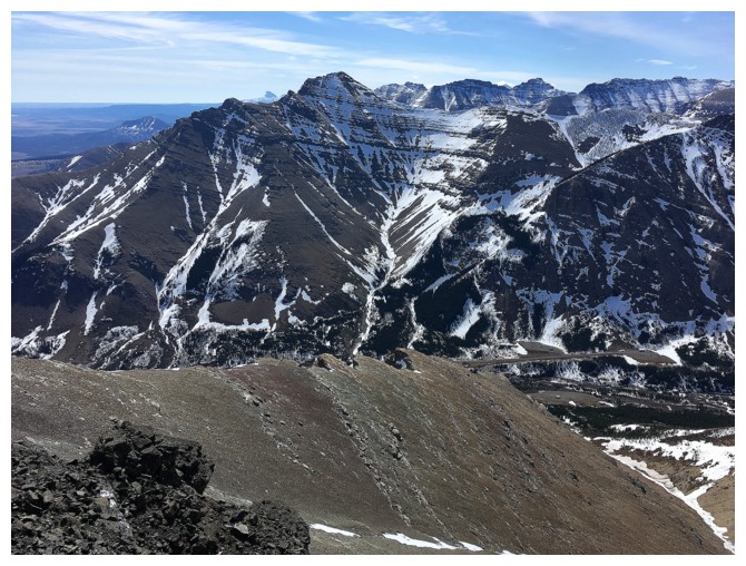
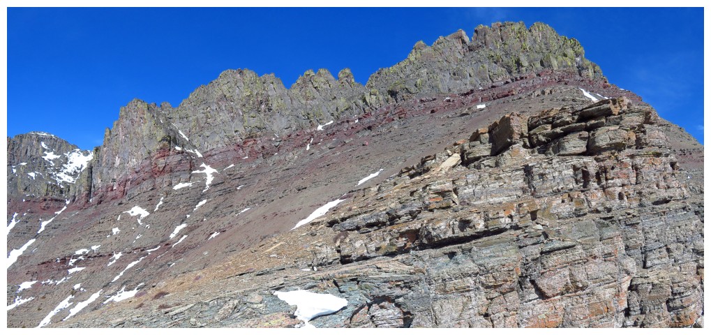
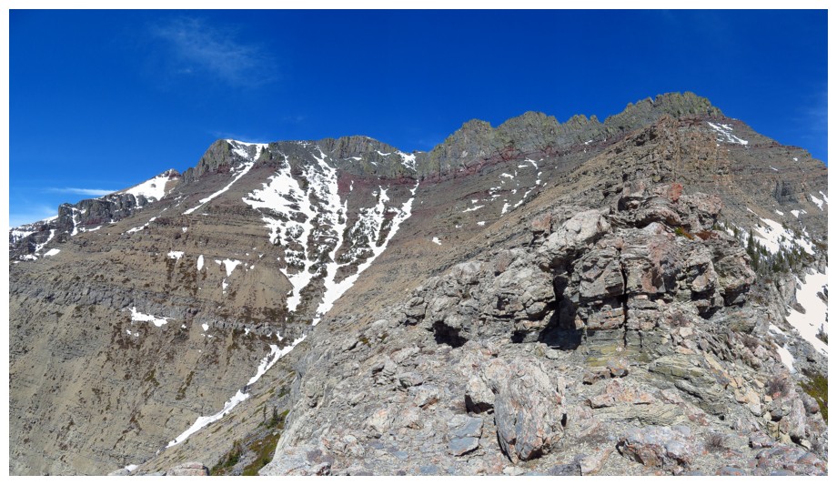
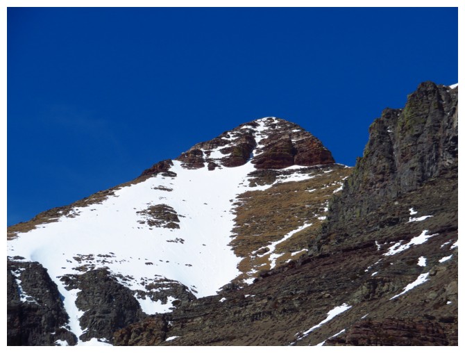
Stopped again to check out the south side of the northeast end of Loaf.
The objective was to get to the pinnacles at the left and my ascent route went up the left skyline.
Also visible is the descent route Dave and I took when coming down from our Bakery Peak attempt.
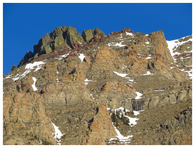
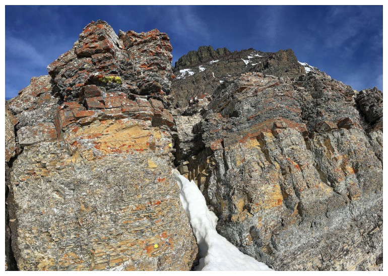
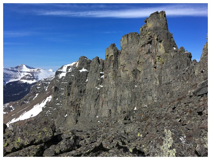
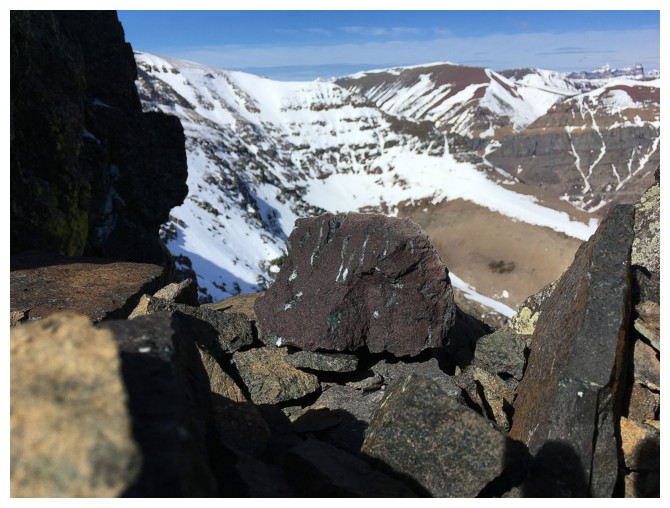
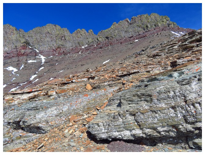
Close-up of what makes this side of the mountain so interesting and appealing
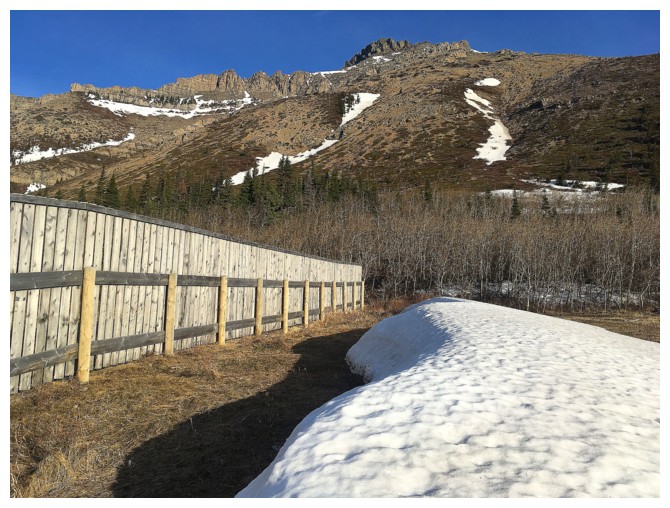
This snow/wind fence really works!!
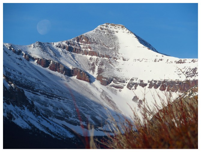
Faint moon and the distant summit of Spionkop Ridge
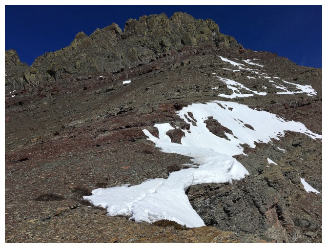
The snow on the right was perfect for ascent
It was also quite steep
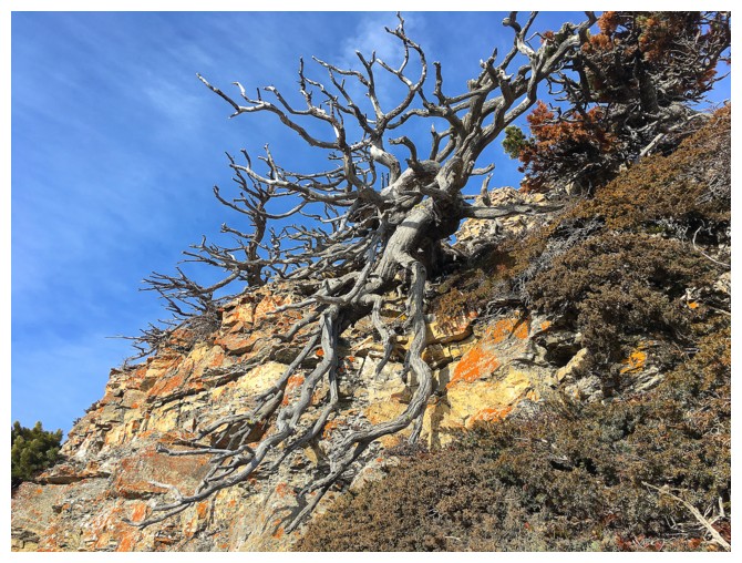
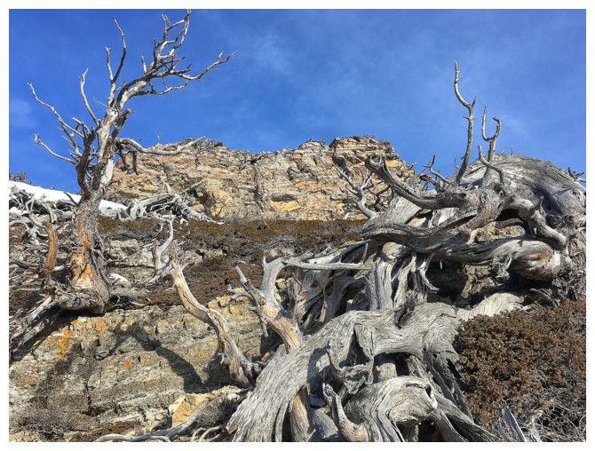
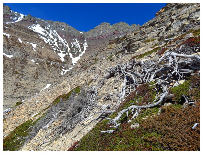
All too common, but always interesting Castle tree scenery
Same as above, approaching the start of the scrambling
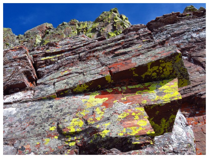
Fun route-finding around colourful rock
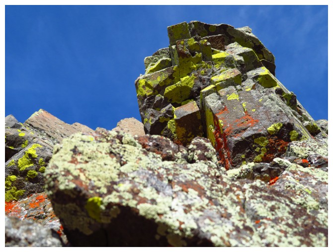
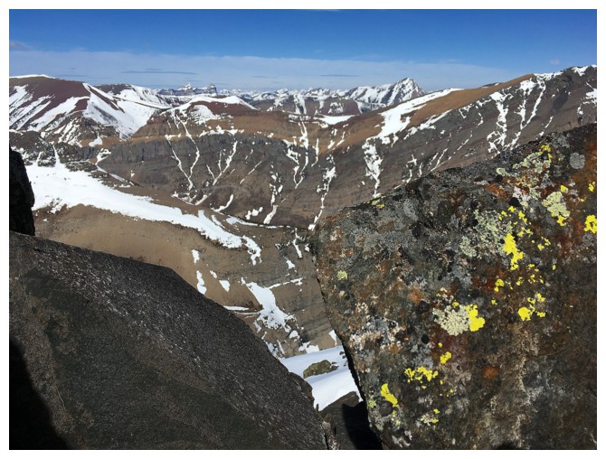
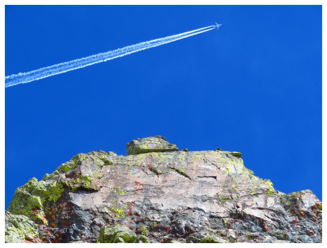
Mandatory lichen shot
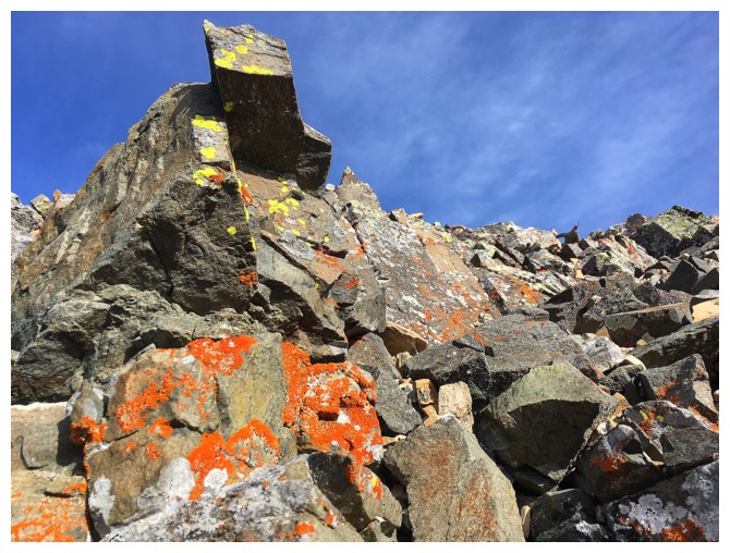
....and again
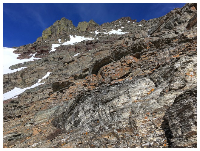
The route up unfolds nicely
...and has plenty of cool rock en route
The route generally goes up the right side, with a few small diversions to the left
This rock band was one of favourites
...perhaps because of the splash of yellow lichen that matches my jacket!
.....this jacket. Photo taken 24 hours earlier on "Woody" (photo by Dave)
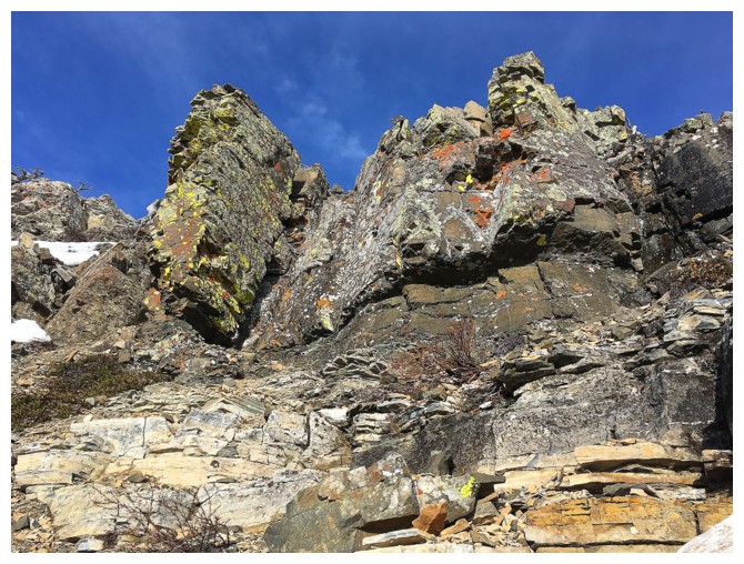
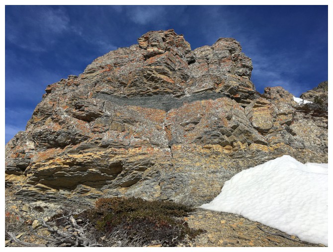
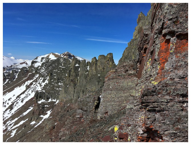
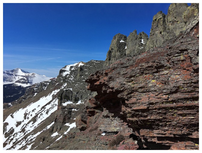
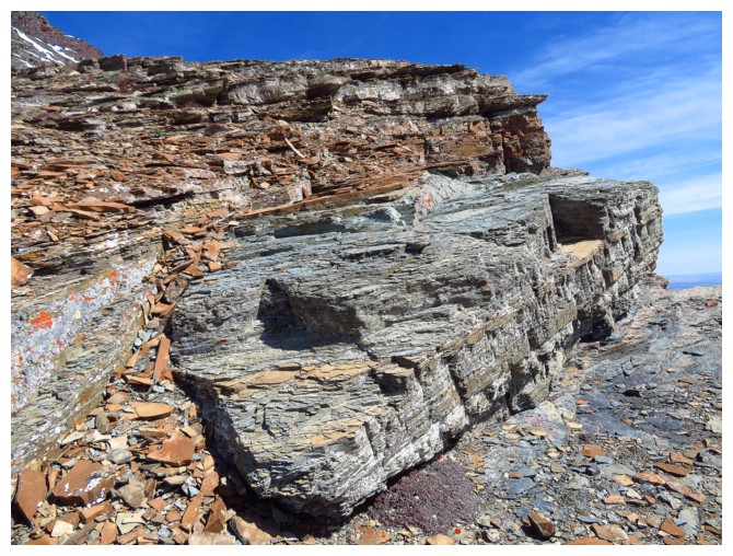
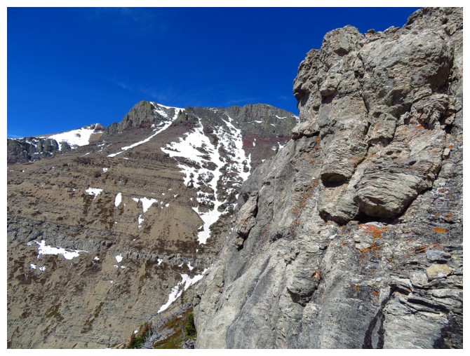
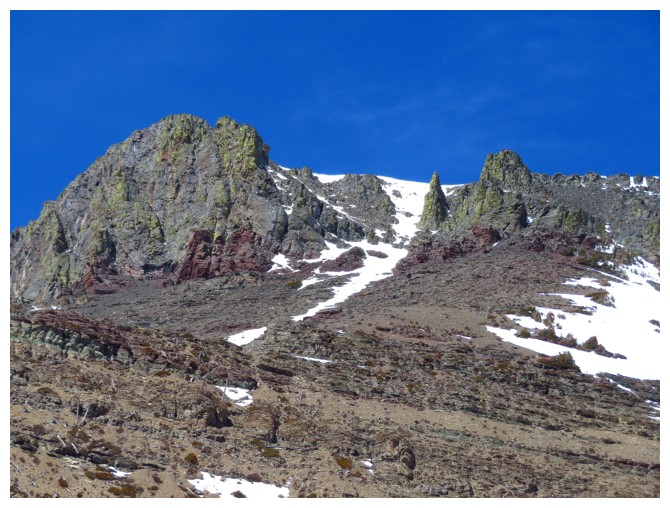
Approaching the rock band that runs across the entire south face and provides of only real challenge of the ascent.
This rock band is part of the same layer that goes across Dungarvan, Glendowan, Roche and many, many others in Waterton/Castle.
The weakness through the rock band goes up the middle
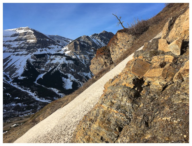
Lots of signs that winter will be hanging on to the bitter end
So many colours, so little time!
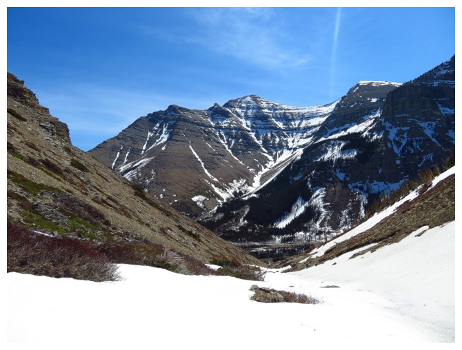
This view of part of the ascent route of Bakery Peak was nostalgic
(well, as nostaglic as something that happaned only three and half months ago can be!)
Same as above
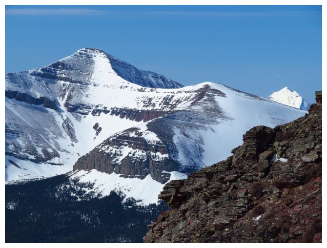
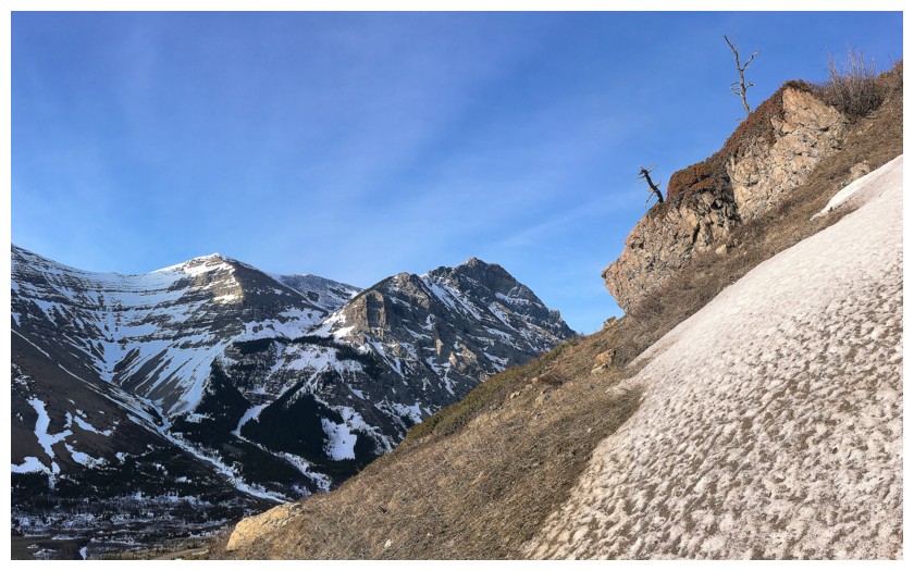
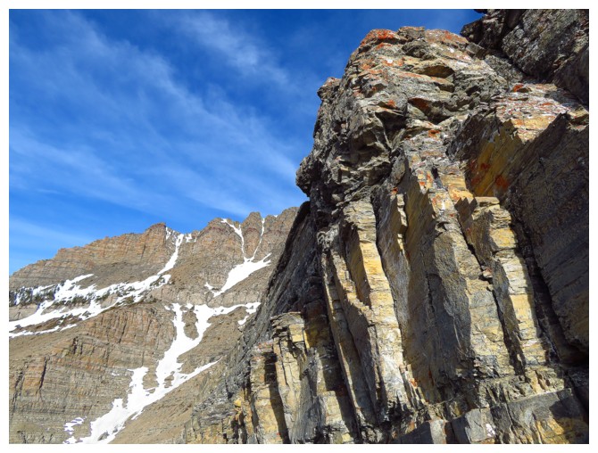
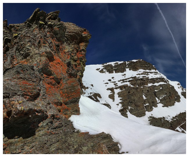
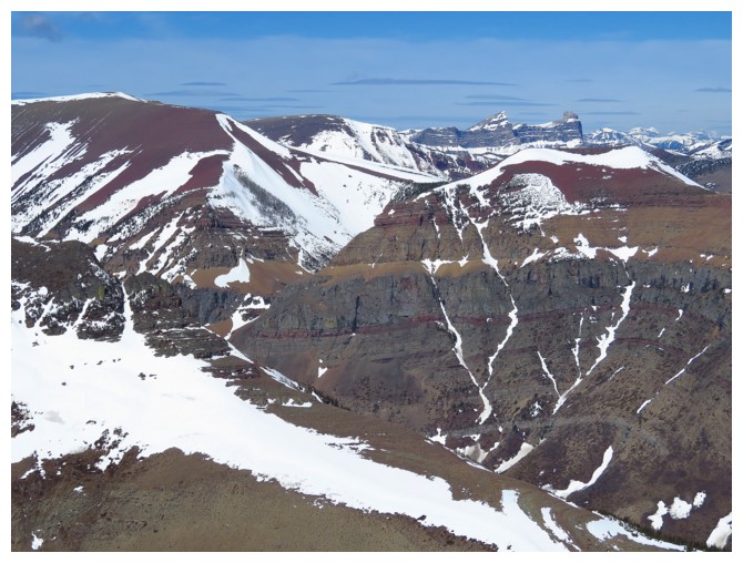
Spionkop (left) and Sage Mountain (maybe?) at the distant right
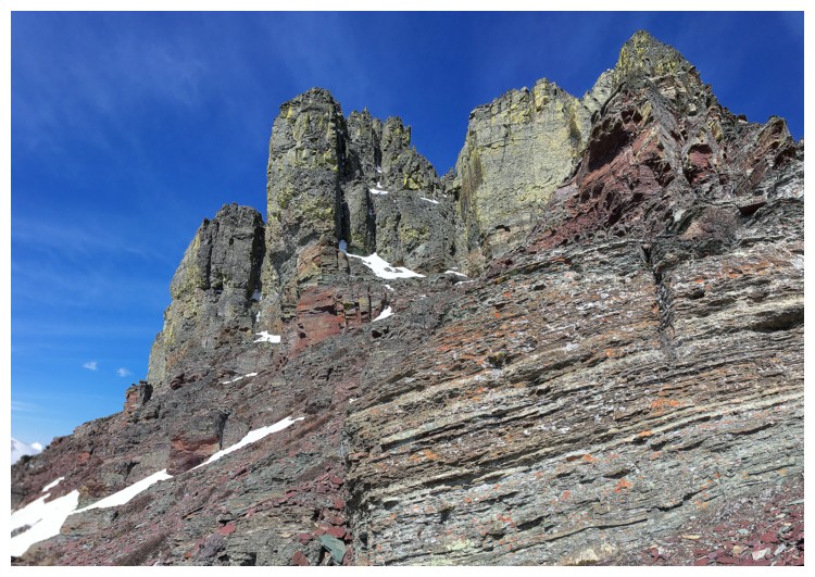
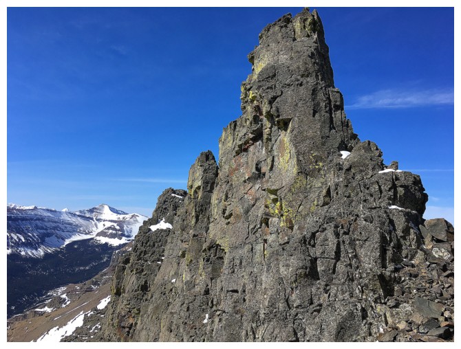
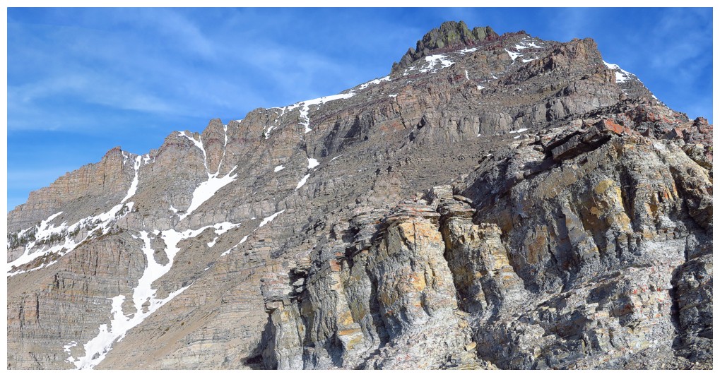
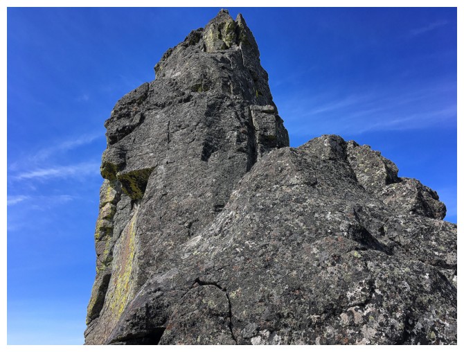
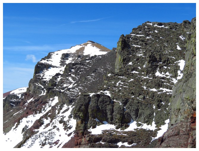
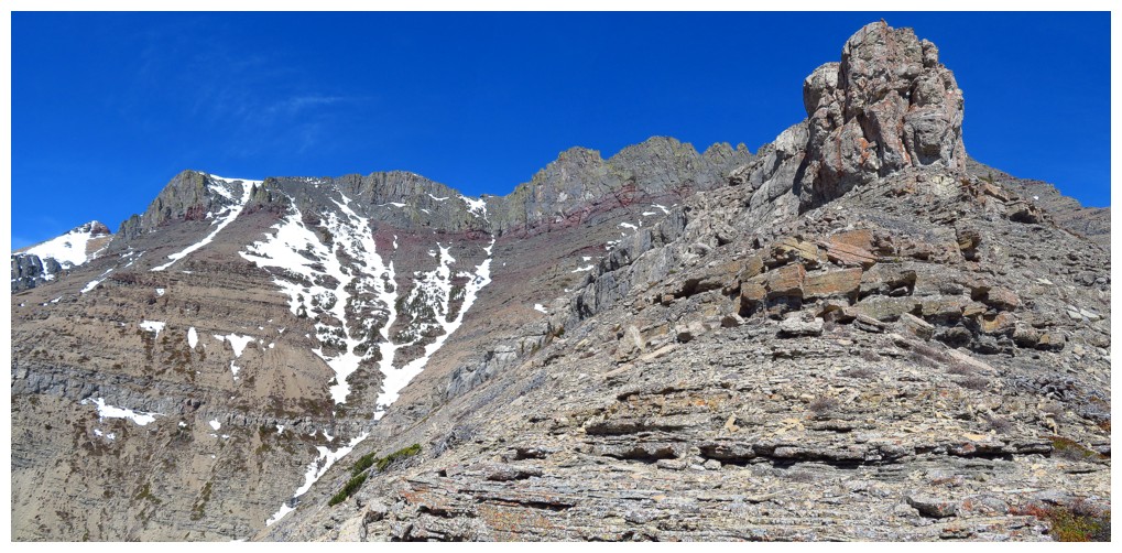
Here come the pinnacles
Outstanding!
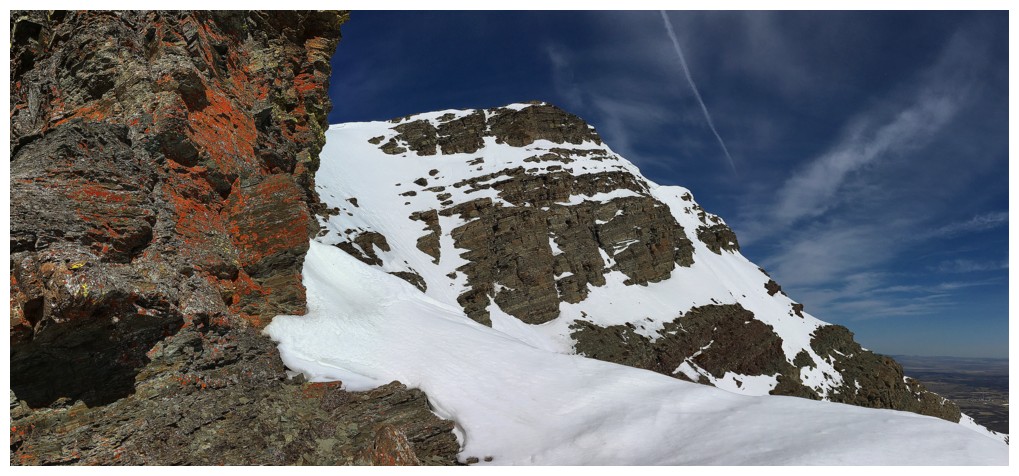
Traversing below the pinnacles, with the middle summit of Loaf just left of centre
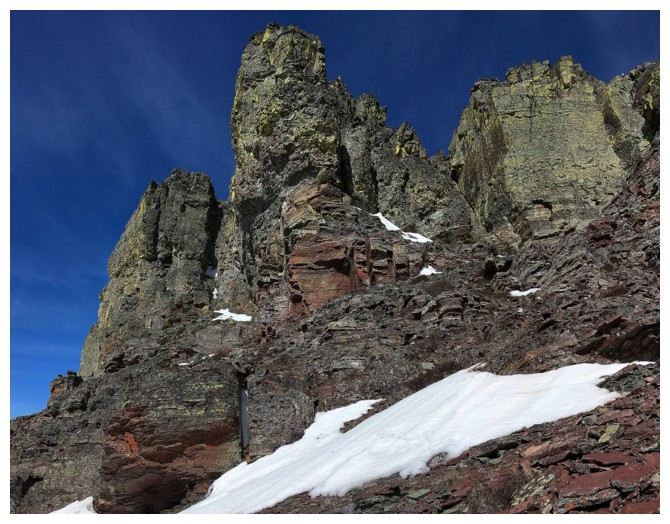
Looking up one of them
Many ups and downs if you intend to follow the ridge proper
More remnants of winter
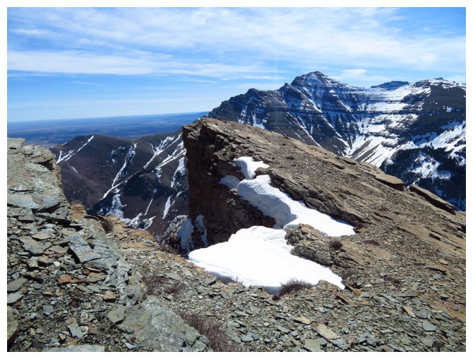
The gap I reached is at the right
Getting close
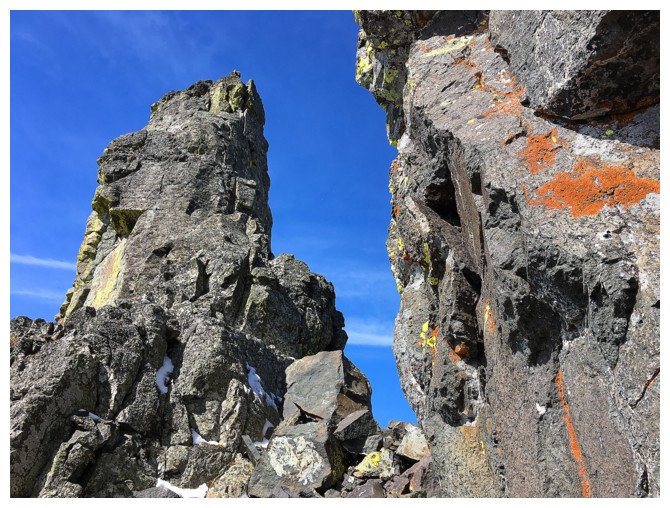
There's the gap
View through the gap. The west summit of Drywood Mountain at the left.
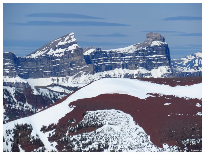
Windsor Mountain (left) and distinctive Castle Peak
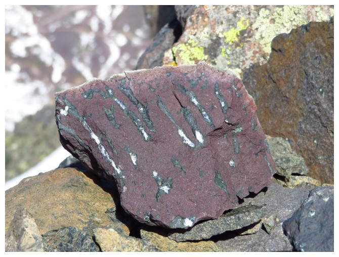
Interesting piece of argillite with claw-like scratches
Victoria Peak at the distant right
Looking up the pinnacle on the west side of the gap
Mount Roche (Spread Eagle) to the south
The middle summit of Loaf again
Heading down
Looking back to the pinnacles
Staying on the ridge offered the best scenery
The ridge also offered another assortment of beautiful rock
Back at the infamous rock band
Thankfully it had a weakness on this side too
Middle summit yet again
Traversing west into the drainage
Close-up of another gap, I passed through in 2013
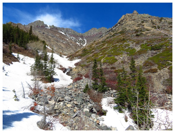
In the snow-filled drainage
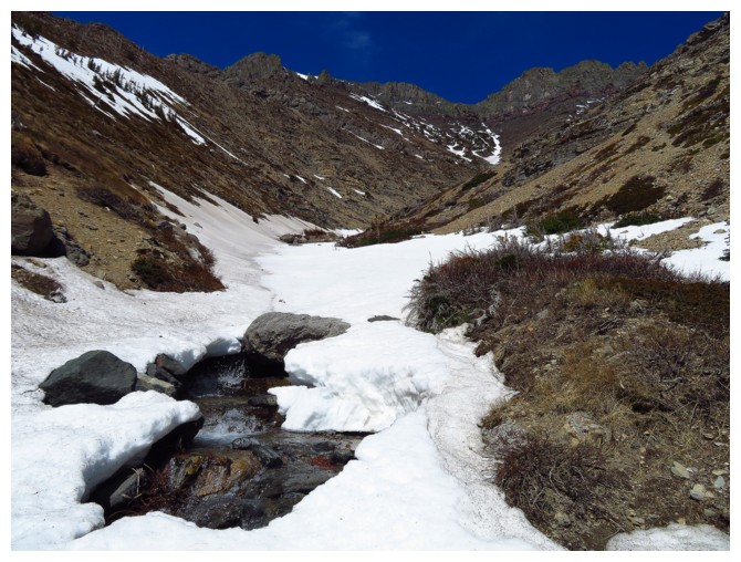
Lower down, the drainage was more open
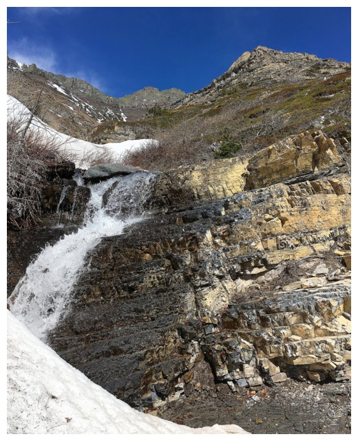
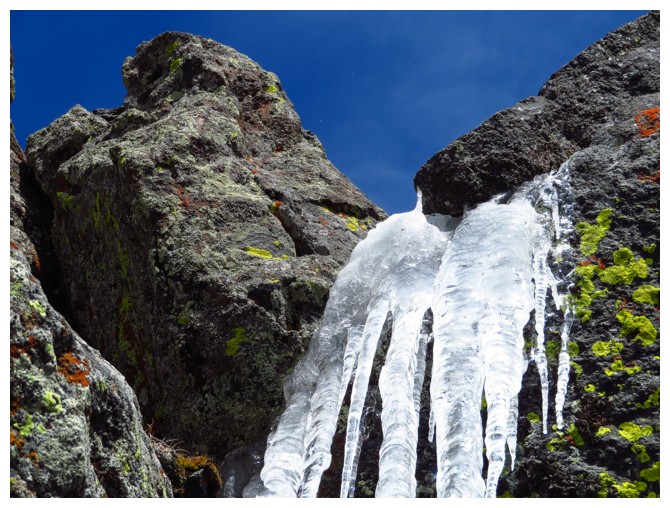
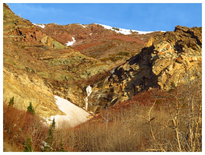
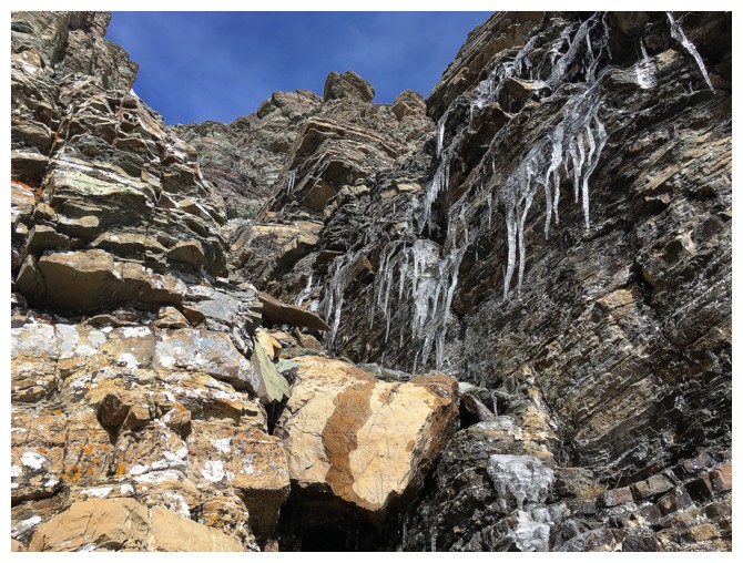
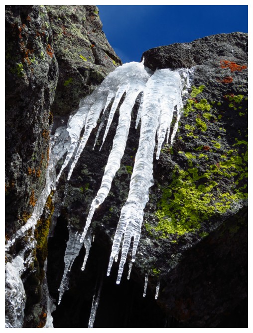
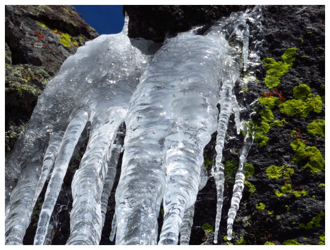
..with a waterfall or two
Last look at the mountain
The End