Mount
McGillivray
attempt II –
April 29, 2006
Mountain height: 2,450
m (8,040 ft)
Elevation gain:
1,370 m
Round-trip time:
9:45
Solo scramble.
Having come up a little shy of the true summit on our first
ascent of
I arrived at the prominent north buttress in just over 1.5 hours and started traversing the west face beneath the beautiful and vertical cliffbands, characteristic of the mountain’s west side. Once around the first set of cliffbands, a second set appeared. Here, there were two levels of bands and there appeared to be a route in between the two, if you could ascend a steep rockband to gain the top of the first one. I tried one route, but felt a little sketched out about hitting an impasse and then having to downclimb the band. From a distance, another route looked possible, up a small weakness at the base of the lower band. I traversed to the weakness, losing more hard-earned elevation on the way, but encountered the same problem as before.
At this point, I was becoming a little “bummed-out”, having spent a good hour searching for a route and losing a fair amount of elevation at the same time. I pretty much abandoned a summit attempt. I did, however, think it was worth it to look a little further west and to my surprise, upon turning a corner around an outcrop of rock, an easy scramble route became visible (at least the start of one anyway). Though a rather tedious scree slog, it was quite interesting to see how this route magically weaved its way around numerous cliffbands, giving easy access to the upper slopes.
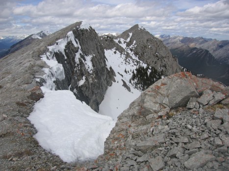
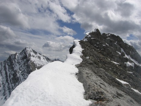
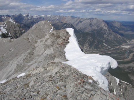
When I finally reached the summit ridge, I became a little more optimistic about making the summit. Up to that point, the route had been snow-free and although large deposits of corniced snow hung tenaciously to the east side of the ridge, enough had melted back so as not to interfere with the very pleasant ridgewalk. Unfortunately, this held only until the final 11 vertical and 30 horizontal metres of the route, where the snow was piled up high on the narrow and exposed ridge. I didn’t even attempt the ridge at this point and descended terrain on the right side to try to circumvent the ridge. Again, this terrain was snow covered and felt a little precarious to be on, especially as I was alone. I opted to retreat.
I had heard that finding the easy scramble route down the west side was pretty tricky if you didn’t come up that way and I can see why. Even though I was using the same route I had just come up, it was very difficult to pick out the weakness from above. Luckily, having known this might be a problem, I was careful to look back frequently at the route on ascent and recognized and the weakness right away. From above, however, the route looked to end abruptly in a steep drop-off.
Below the cliffbands and back onto easier terrain, the slog back up to the north buttress (having to regain about 100 m of elevation) was grueling and most unwelcome. Thankfully the remainder of the descent was easy. No summit, but the routefinding experience turned out to be a very positive one and at least when I return the ascent should be much faster.
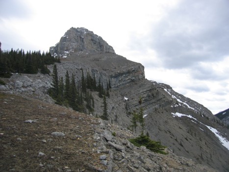
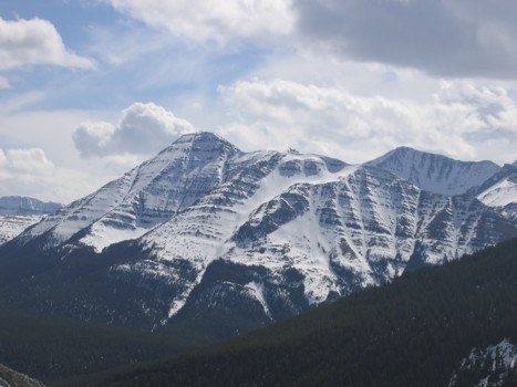
Approaching the north buttress
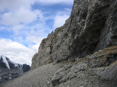
The north buttress
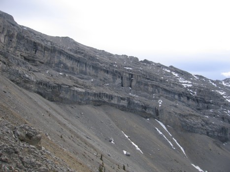
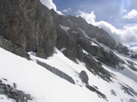
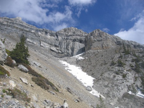
The double set of cliffbands; traversing above the lower one might have been a feasible route
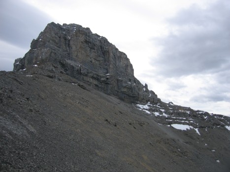
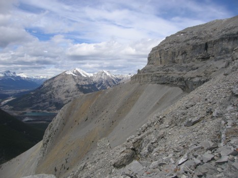
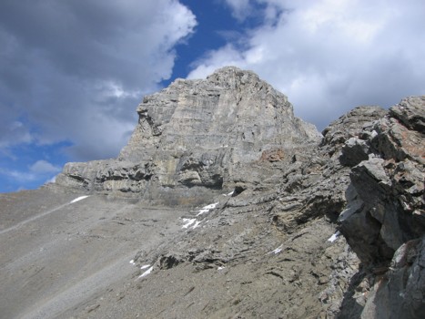
The west side of the buttress; ascending a third of the easy up might have led to the traverse between the cliffbands
Traversing below the lower cliffbands
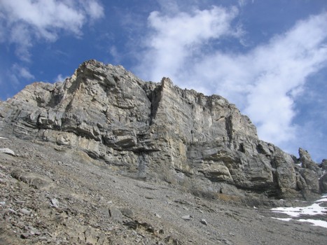
Looking back at the double set of cliffbands
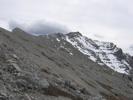
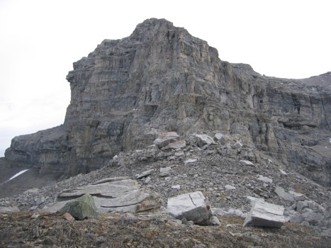
Above the cliffbands, looking at the summit
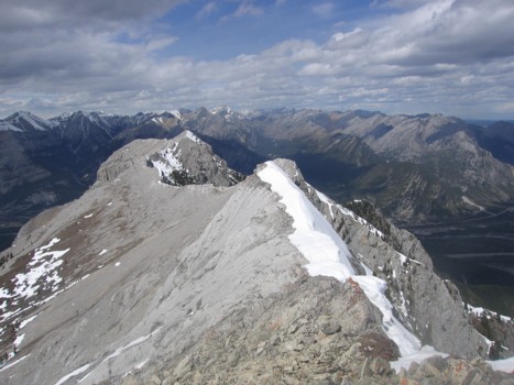
On the ridge, looking north
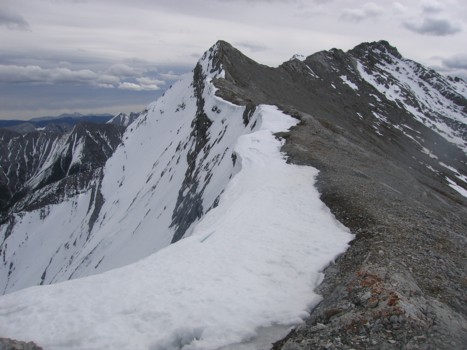
On the ridge, looking south towards the summit
Another view north
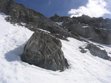
Trying to traverse around the snow-covered crux
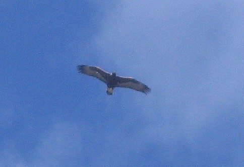
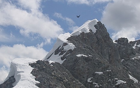
A bird of some kind
More of the snow-covered slopes below the summit
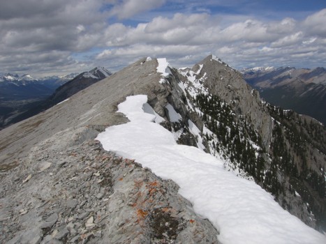
Heading back along the ridge
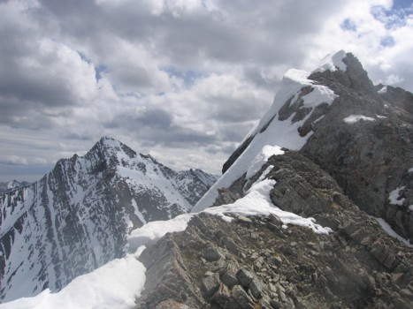
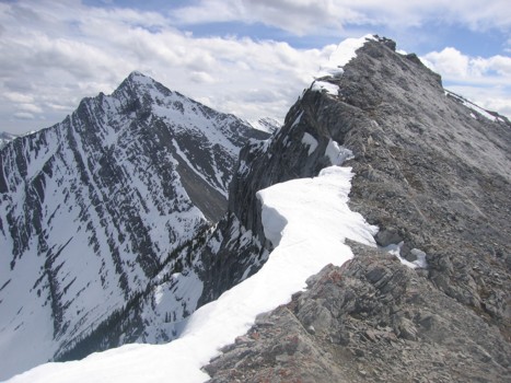
Looking back to the crux
Another bird (of some kind) near the summit
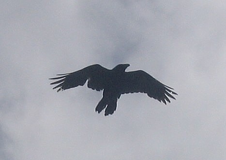
A close-up of that bird
Looking south, with Unnamed south of McGillivray to the left
More cornice scenery; Goat Mountain and Yamnuska at the distant right
More of the ridge and Unnamed
Mount Collembola
The ascent route of the west side (goes around to the right)
Back at the north buttress
Traversing below the buttress