Moose Mountain II
March
21, 2009
 Mountain height:
2437
m
Mountain height:
2437
m
Elevation gain:
approx.
800 m
Ascent time:
7:15
Descent time:
2:50
Scrambling with Mark.
With another less than stellar weather forecast,
we returned
to the 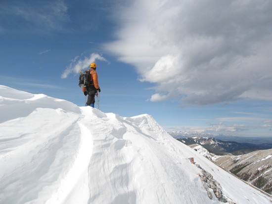 We failed due to deteriorating weather and not having the
right
equipment.
We failed due to deteriorating weather and not having the
right
equipment.
This time we cycled the 6 km approach and brought rock climbing gear for the first gully and ice climbing gear for the second if we couldn’t get up the first. After another quick visit to the main ice cave (a unique and spectacular destination in itself), we started up the first gully. This gully turned out to be the way to go: easy to difficult scrambling amid beautiful rock and terrific scenery. A scree slog followed, but was pleasantly interrupted several times by more impressive rock bands.
Surprisingly, we arrived at the southeast peak to outstanding weather and therefore decided to continue north along the ridge until the weather did break down. The next peak was an easy walk away. At the summit, as well as a pleasant view, someone had spelled out the words “Love”, “Peace” and “Compassion” in rocks.
Still, the weather continued to be clear and warm
and so
onto the next peak to the west we went. This traverse – a
very enjoyable
ridgewalk with excellent rock and snow scenery throughout –
was one of many
unexpected highlights of the trip, shattering my previous perception of
The next summit (immediately southwest of the true summit) was another pleasant surprise, looking more like a very small Mount Huber than an insignificant and unnamed, Front Range peak. Snow near the summit ridge added to the alpine feel of the area. The view from this peak was probably the most interesting of the day. Interesting clouds started to form, at this point, eventually leading to the overcast conditions we were expecting – fortunately a good 5 hours behind schedule.
Due to the weather breaking down, the slog to the true summit and the summit view were the least satisfying part of the day, but still enjoyable. Our summit stay was very brief, due to a lengthy ascent time. The alternate descent route worked extremely well, taking far less than half the ascent time.
Another wonderfully scenic trip that far exceeded our expectations.
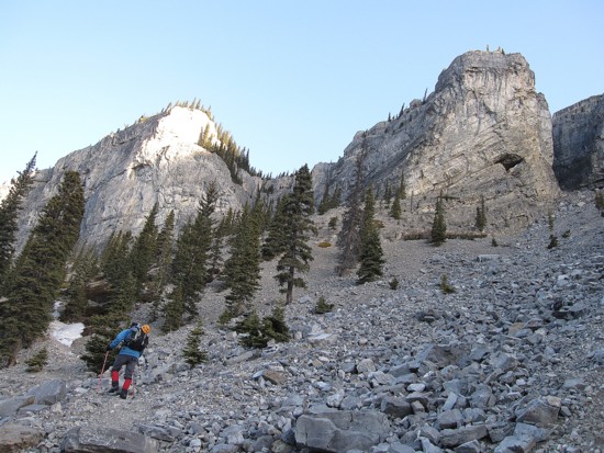
Heading to the ice caves; the gully we ascended to the southeast summit in between the two peaks
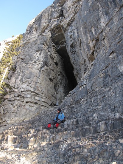
Mark rests below the entrance to the cave
At the cave entrance
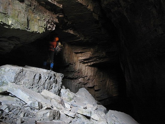
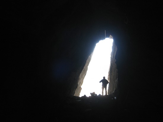
In the cave
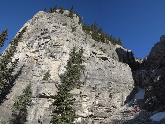
Heading to the ascent gully
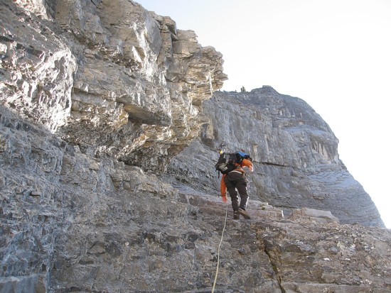
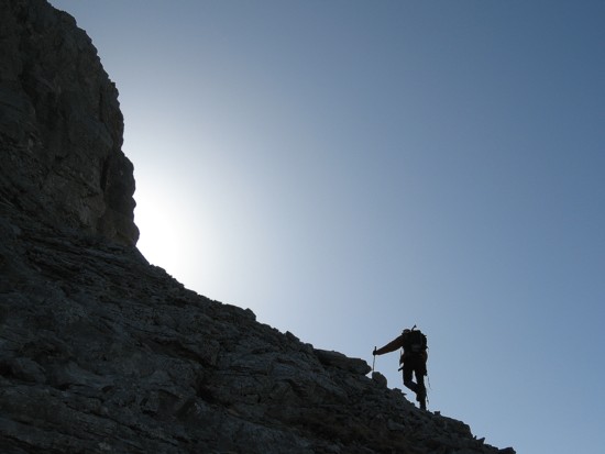
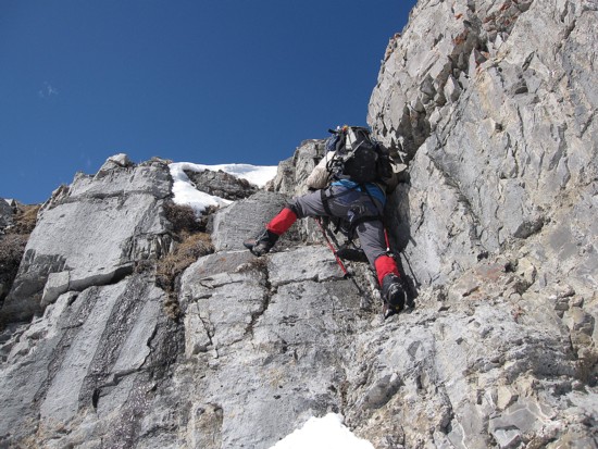
The scrambling starts
Mark leads a step
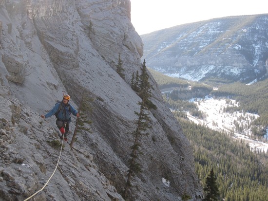
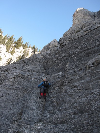
Typical terrain in the gully
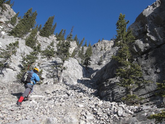
Same as above
Same as above
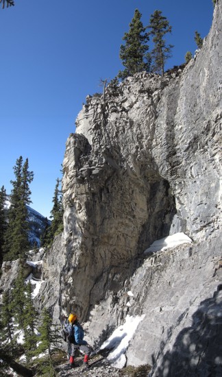
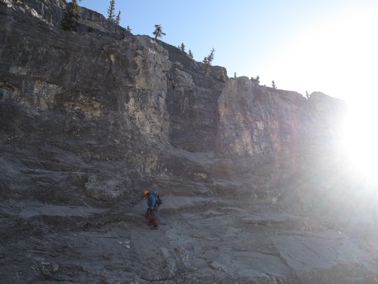
Lots of impressive rock faces in the gully
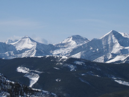
L to R: Banded Peak, Outlaw, and Glasgow
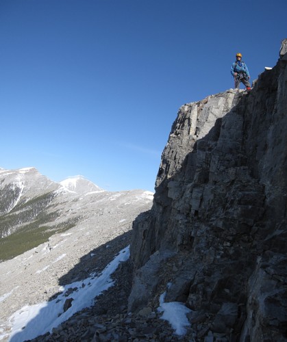
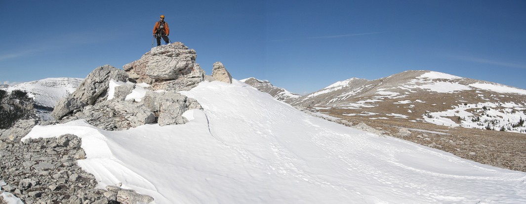
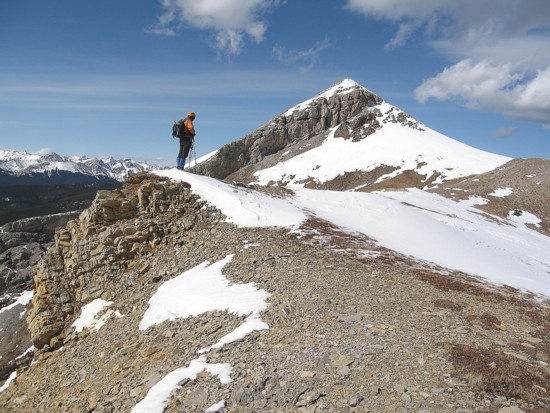
Atop one of several rock-bands en route to the southeast summit
Traversing around another
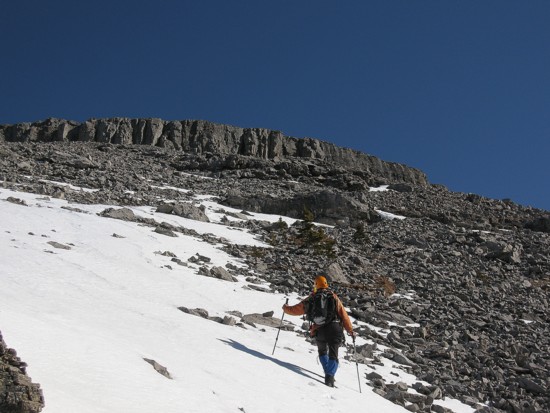
The upper slopes and another rockband
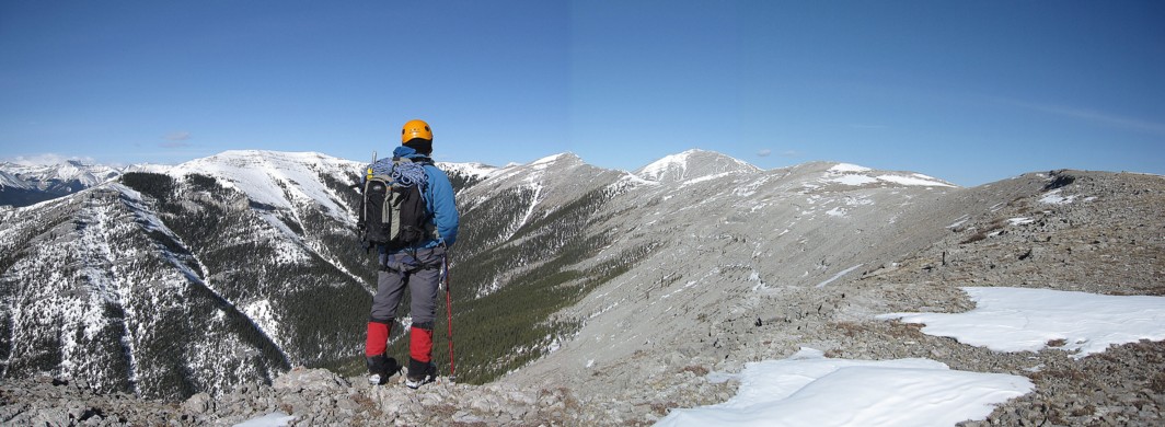
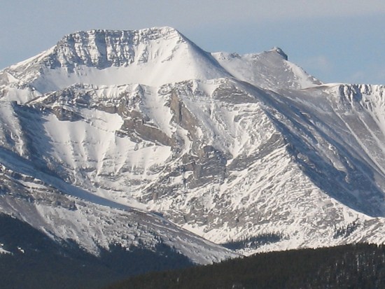
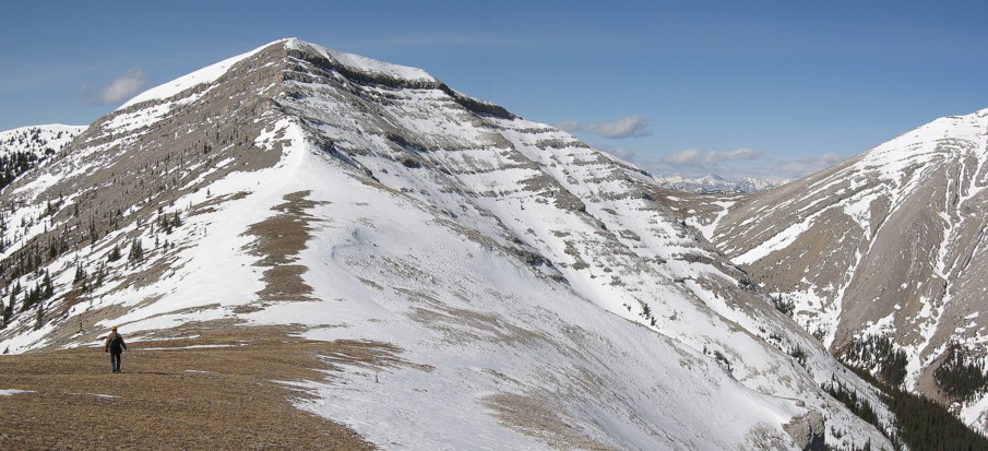
At the southeast summit, looking north at the complex form of Moose Mountain
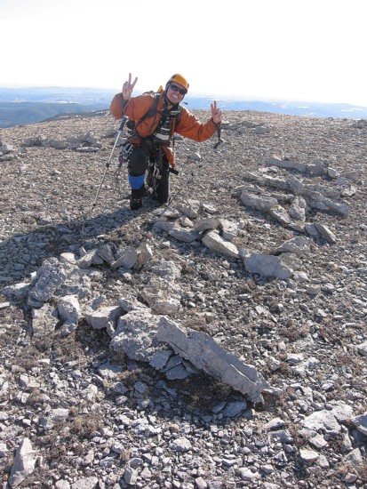
"Peace" made from rocks
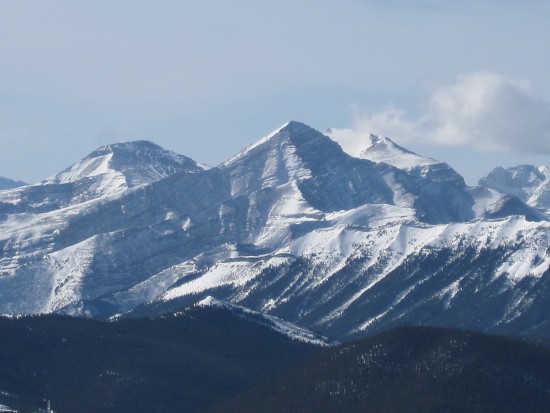
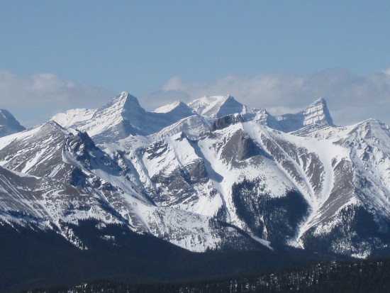
Outlaw, Glasgow, and Cornwall (the snowy one)
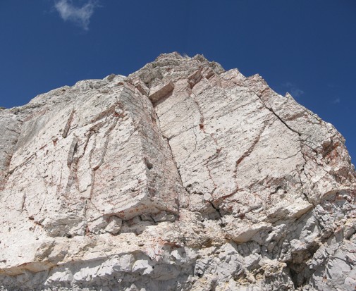
Checking out some cool rock
Same as above
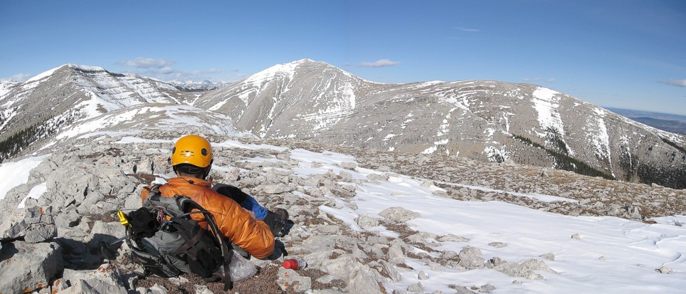
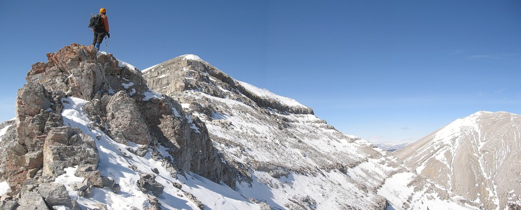
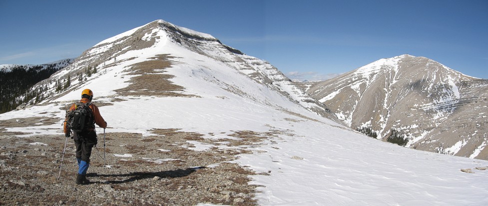
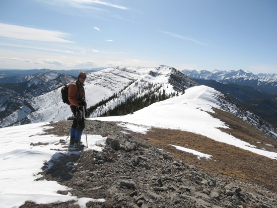
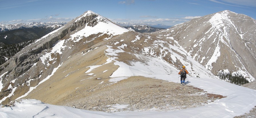
At the east summit; true summit at the centre and centre summit to the left
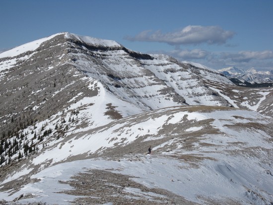
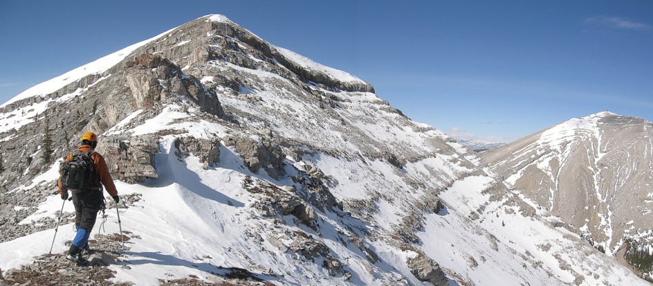
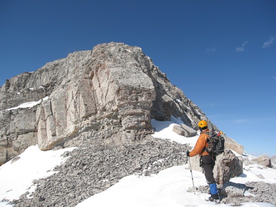
Heading to the centre summit
Same as above
Same as above
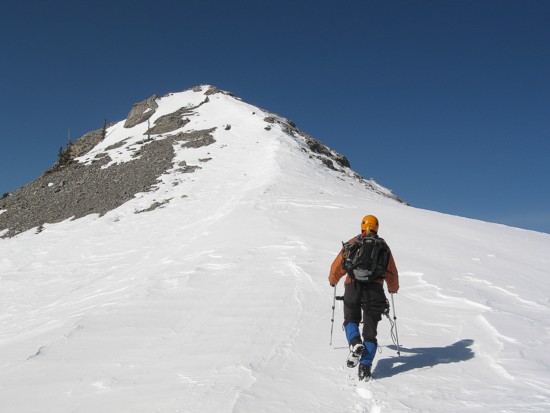
Same as above
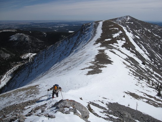
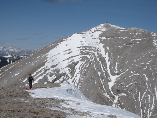
Looking back to the east summit
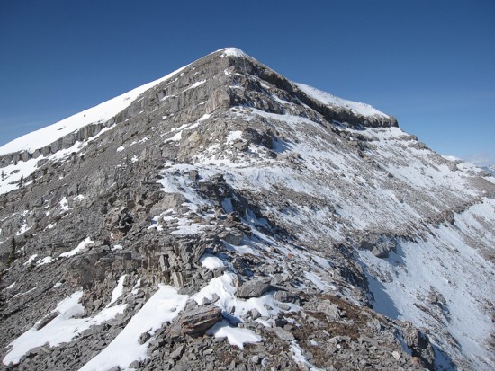
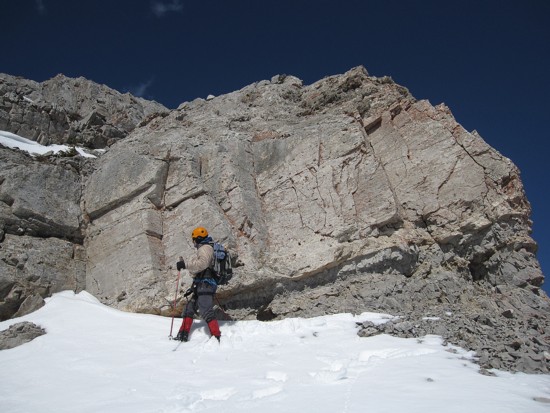
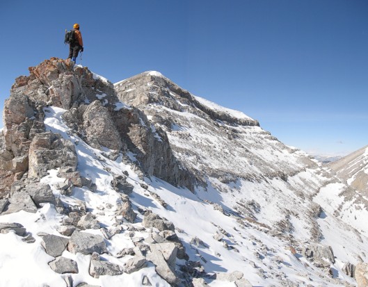
Rock-bands line the centre summit
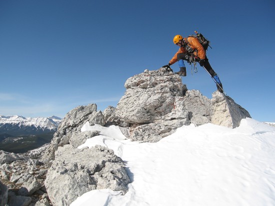
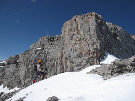
Approaching the first rockband
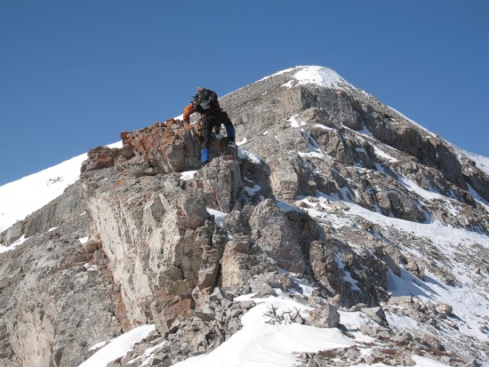
Some easy scrambling
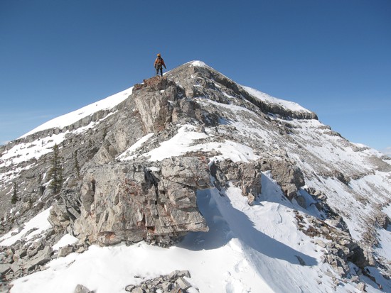
Atop the step
Same as above
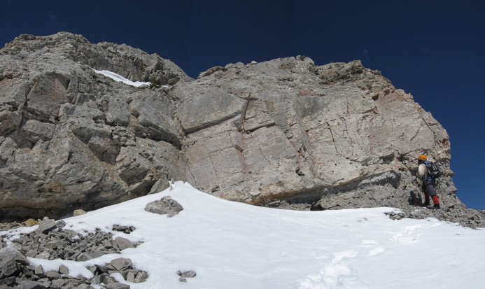
The next band; circumvented on the left
Same as above
Mark checks out the cool rock
Same as above
Mark leads another step
Looking down that step
On the ridge between the west and southwest summits
Wind Mountain and Mount Lougheed
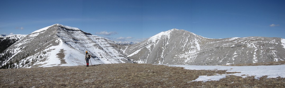
Heading to the west summit (left)
The true summit
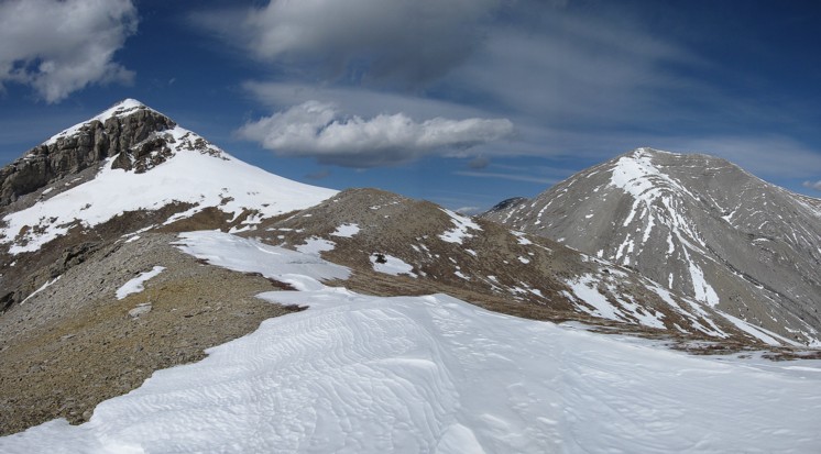
The west summit (left) and the true summit
Hiking down to the col
The west summit
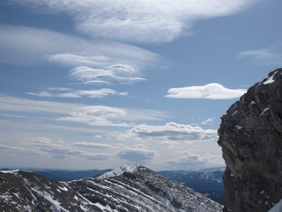
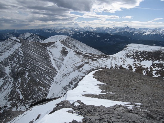
Interesting clouds start to form
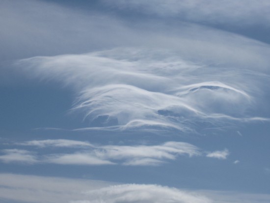
A closer look
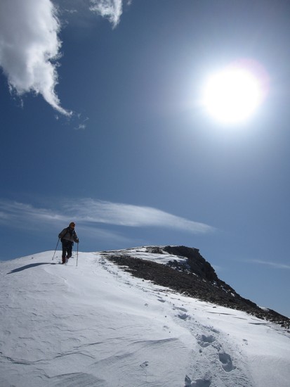
Ascending the west summit

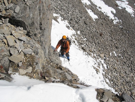
Snow on the ridge
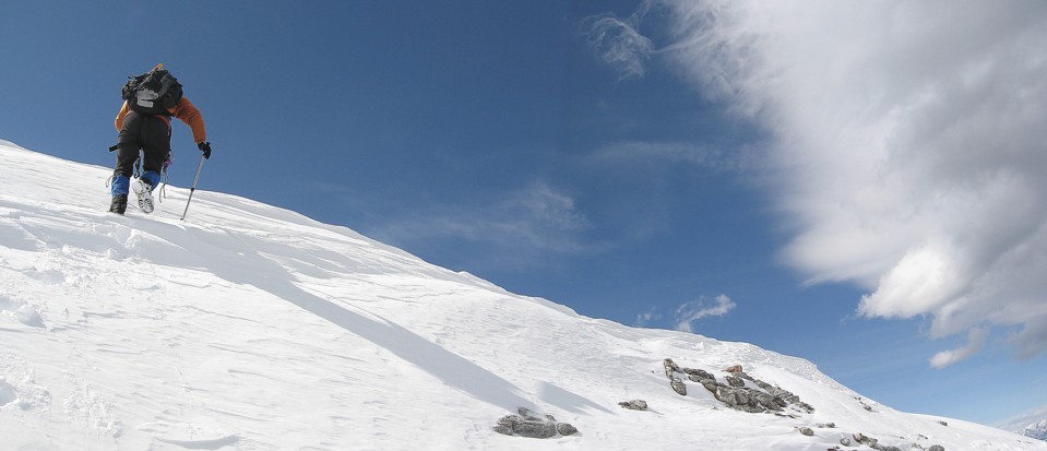
Gaining the ridge
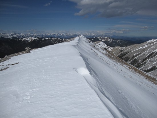
On the ridge, looking north
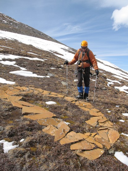
Another rock letter
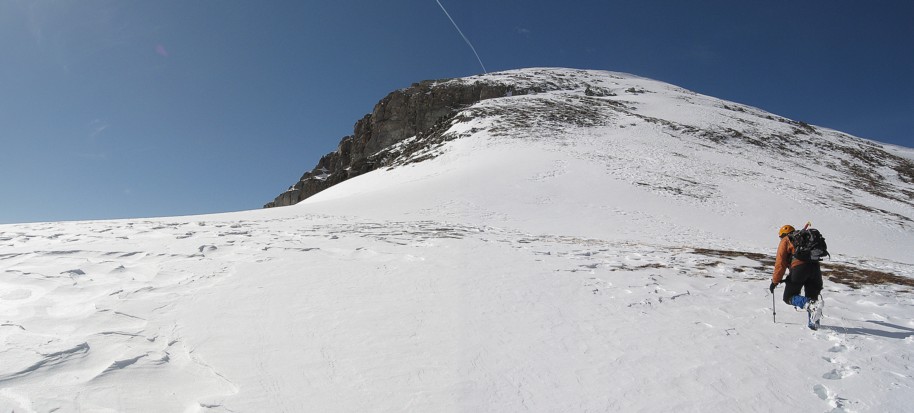
Ascending the west slope of the true summit
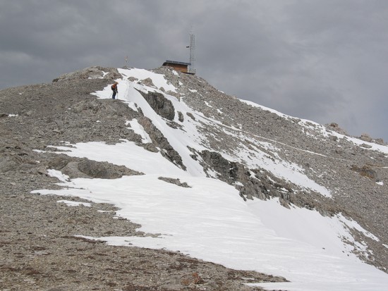
Almost there
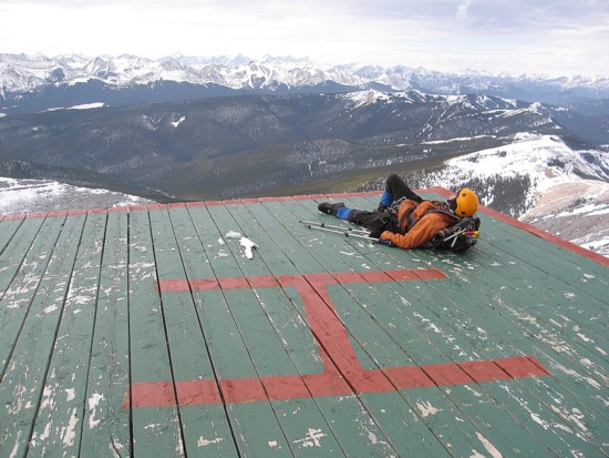
Crashing on the heli-pad