Mountain height:
2720
m
Elevation gain:
1500
m
Ascent time:
5:50
Descent time:
2:20
 Scrambling with Kevin.
Having read a very short, but excellent review of
this trip,
I put it on my “to-do” list right away. Kevin and I
had originally planned an
attempt of
Although the suggested route follows Numa Creek,
we chose a
route via Floe Creek, because I wanted a close-up look at 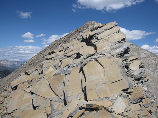 to
to
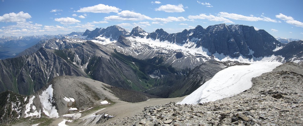
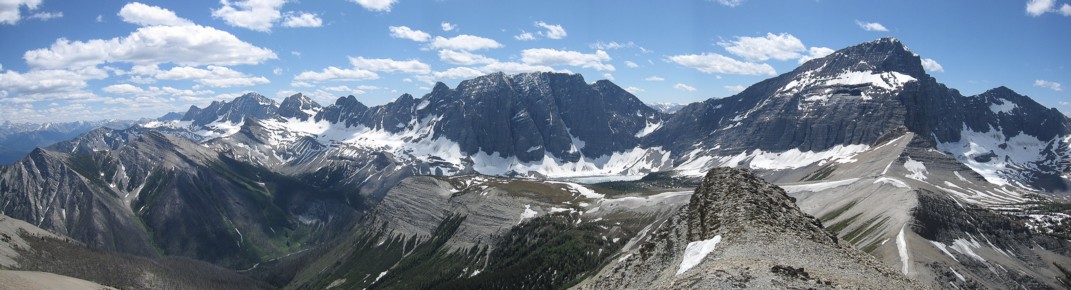
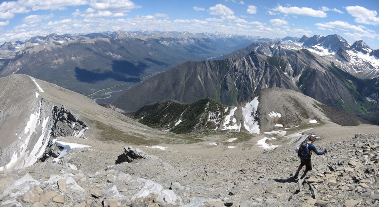
Reaching the summit of Numa (2720 m, not the 2550 m stated in the Green Book and on some maps) required only steep hiking, but was quite foreshortened and did have a false summit. Fortunately, the surroundings views just got better and better, especially up and down the amazing length of The Rockwall.
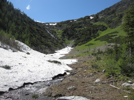
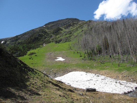
The descent was a Barton stroke of genius. Instead of returning the way we came, we descended scree slopes from the summit in a southeast direction. Quickly we arrived in a magnificent valley, replete with cascading streams, snow patches, and more lush, green, grassy slopes. After following a beautiful stream for a short distance, we turned south, down steep, but manageable slopes back to the Floe Lake Trail. This essentially cut half the horizontal distance off the descent and it was scenic to boot.
A totally outstanding day in an impeccable area.
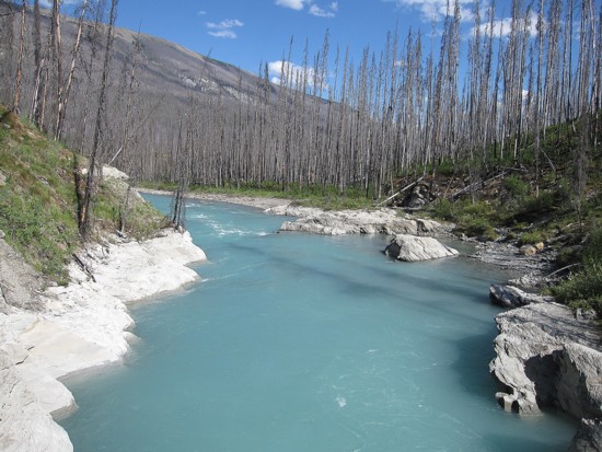
The beautiful Vermilion River
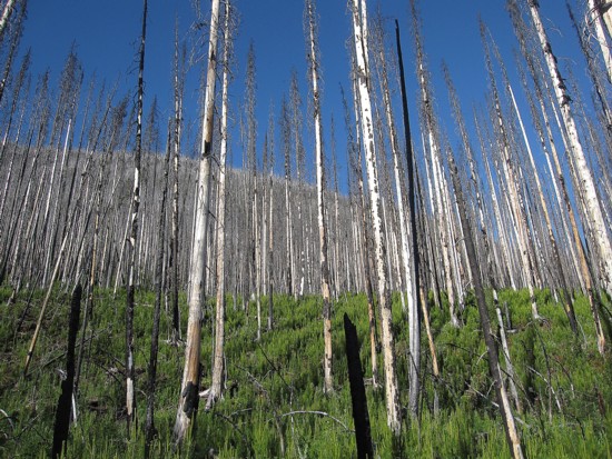
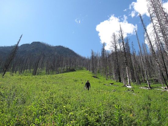
Results of the 2003 fire
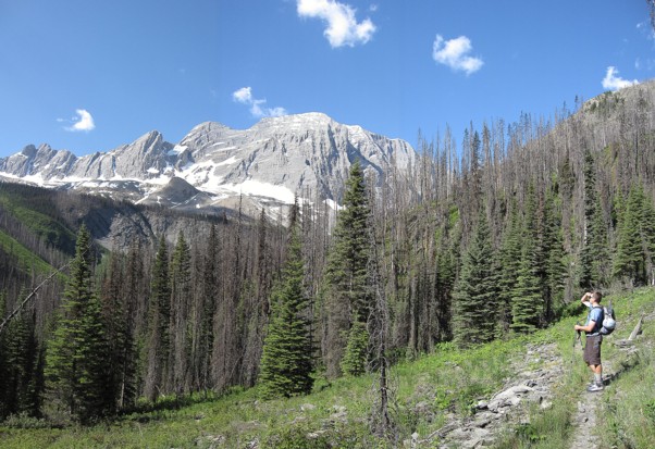
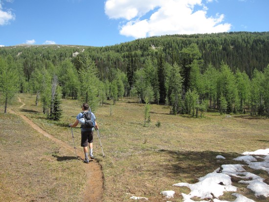
Kevin on the trail, with part of The Rockwall
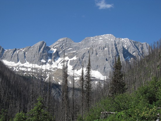
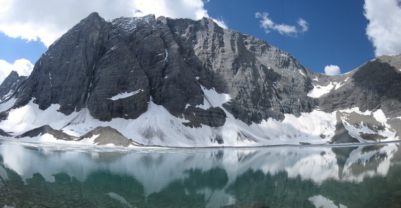
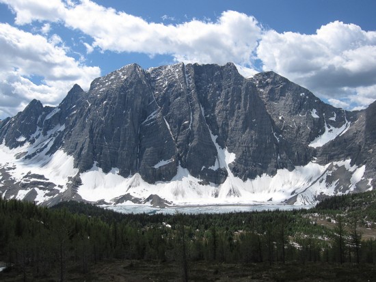
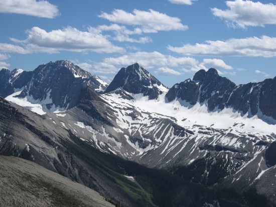
The Rockwall
Approaching Floe Lake
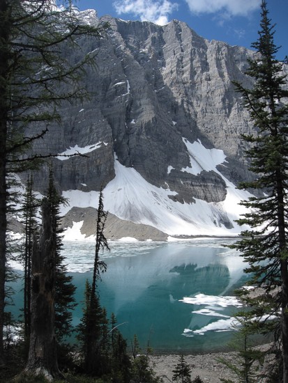
Floe Lake
Floe Lake and The Rockwall
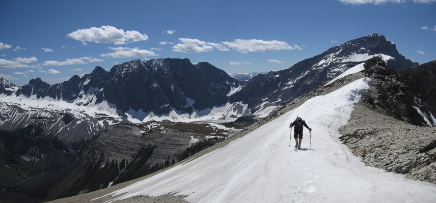
Hiking to Numa Pass
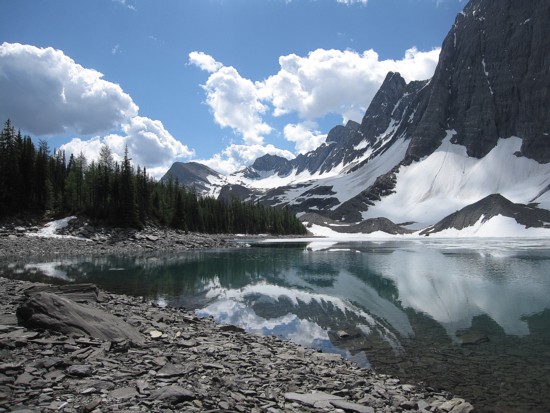
Looking back at Floe Lake and The Rockwall
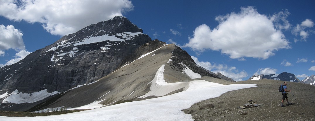
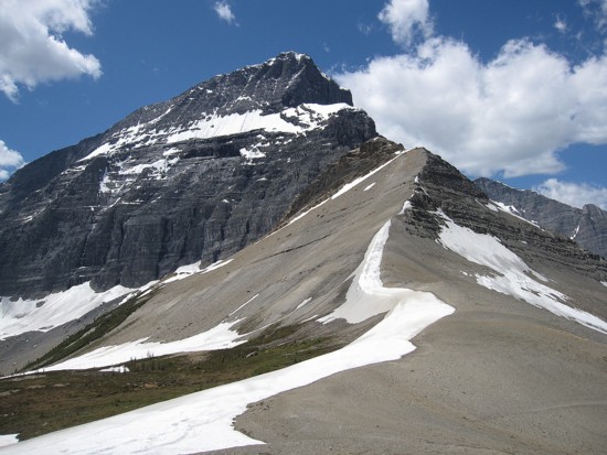
Kevin at Numa Pass; Foster Peak to the left
The north section of The Rockwall
Mount Hungabee (left) and Deltaform
Several unnamed peaks of The Rockwall

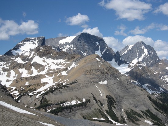
Numa Mountain
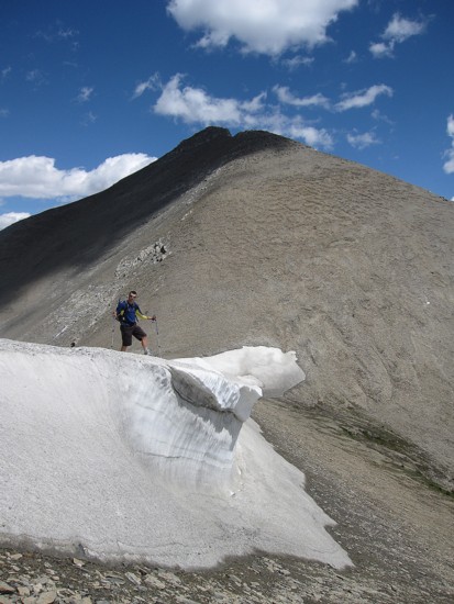
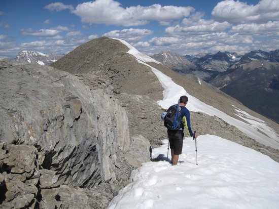
Kevin on a remnant patch of snow
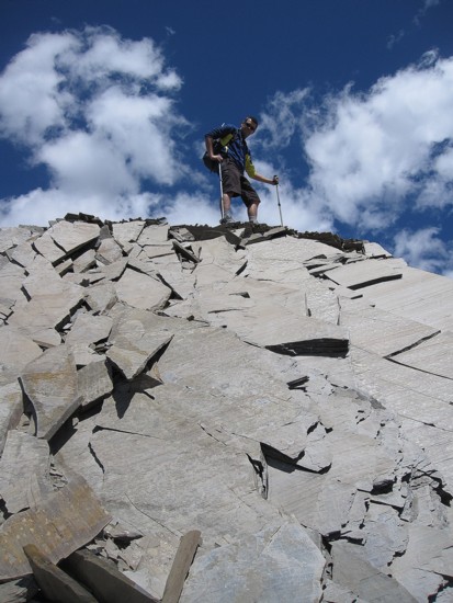
Kevin atop interesting rock
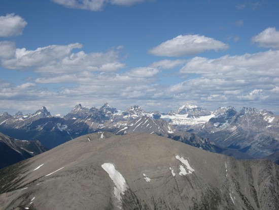
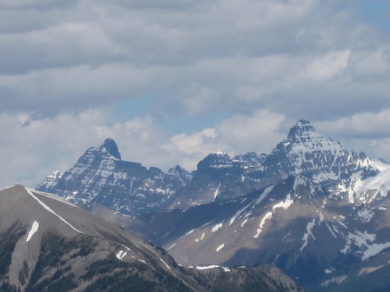
Looking towards the Valley of the Ten Peaks
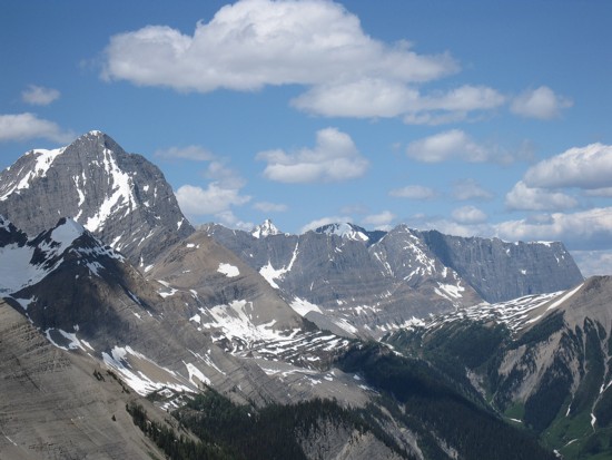
Looking back to The Rockwall and Foster Peak
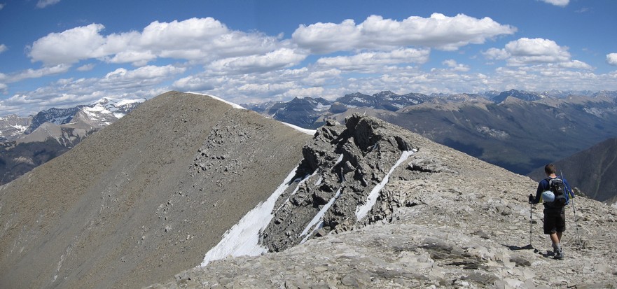
Leaving the false summit for the true summit (left)
Kevin wishing he hadn't worn shorts
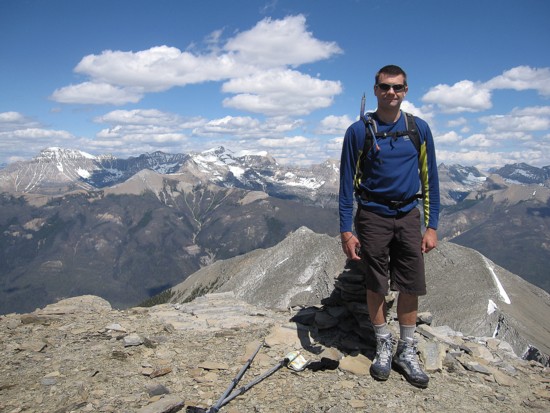
Kevin at the summit
Starting down the alternate descent route
A last look at the southern section of The Rockwall
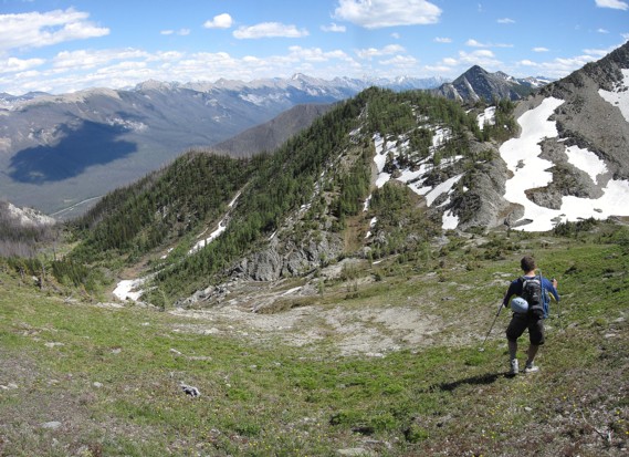
Heading into the valley

Kevin crosses a snow patch
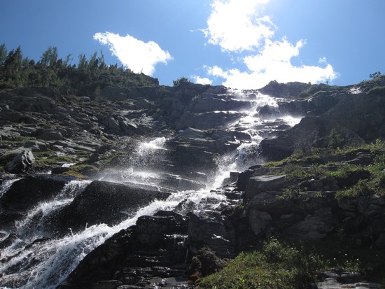
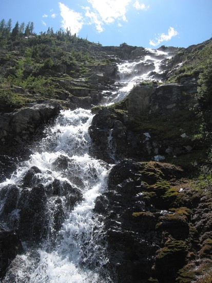
Waterfalls
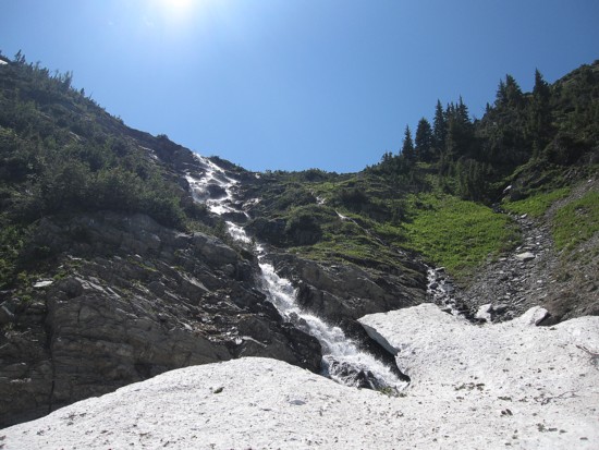
Same as above
Same as above
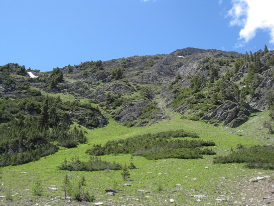
Lush, green slopes
Looking back at the descent slopes and valley
Same as above
Kevin returns to Floe Lake Trail
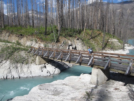
Crossing the Vermilion