Old
Mountain height: 2,728
m (8,949 ft)
Elevation gain: 1,280 m
Ascent time: 6:05
Descent time: 4:05
Scrambling and mountaineering with Mark.
It took us 7 trips, but we
finally managed to finish nabbing all the major highpoints of the
The day began with a labourious slog up the west-facing slopes of Old Baldy Ridge. Normally, we would have taken the Old Baldy Ridge Trail paralleling McDougall Creek, however, a marked trail had miraculously appeared on the new Gem-Trek map – one that started at the Boundary Ranch and ascended the west face, directly to the summit of Old Baldy Ridge. It appeared to cut a significant distance off the hike from the highway to the summit. We didn’t find the trail (it was 7:45 am and still quite dark when we started), but the route was pretty obvious – just go up!
900 vertical metres later, we topped out on Old Baldy Ridge and a terrific view of our intended ascent route up the mountain’s west ridge. We were also quite surprised at how easy the ascent appeared to be from that vantage point. We had dragged along a good deal of climbing and mountaineering gear, expecting that there would be at least one section of very steep terrain. Such was not the case, and the initial part of the route proved to be easy and also quite spectacular, as huge pinnacles and crumbling uplifts of rock lined the left side of the ridge. A stunning, massive, smooth, and almost vertical slab seemed quite out of place amid the crumbling pinnacles, prompting some curious stares.
From our observations of the
route, while ascending
We hit the windy and therefore
bitterly cold summit at 1:50 pm. If there was a cairn and/or register, it was
buried deep in snow and a large cornice, overhanging the precipitous east face
keep us from venturing too far out. Cloud cover had increased throughout the
day, but we were lucky enough to receive clear views to the north and south, as
the clouds dissipated upon reaching the eastern edge of the mountains – an
added bonus of staying in the front ranges when heavy cloud cover is streaming
in from the west. It was especially gratifying to look down on all the other
highpoints we had reached along the lengthy ridge. A very reliable source told
that the entire traverse from
After 30 minutes, admiring the splendid panorama, enjoying the scenic, sun-splashed, snow slopes below us (lame alliteration!), and intense shivering, we descended the way we came. There appeared to be easier descent options on either side of the ridge, but they would have put us on long snow-covered avalanche gullies and we didn’t feel the risk was worth it. The descent back to Old Baldy Ridge was quite easy and fast, however, from the ridge back to the car was seemingly endless and of course, we had to take out the headlamps for the last hour.
A most enjoyable and rewarding last trip in 2005 and a great end to our best year yet in the mountains.
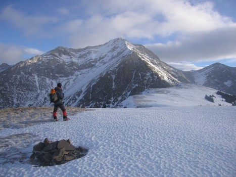
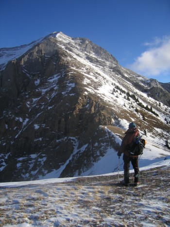
At the summit of Old Baldy Ridge, looking at the west ridge and summit of Old Baldy Mountain (centre)
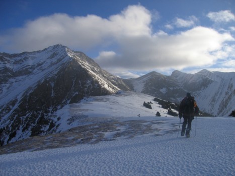
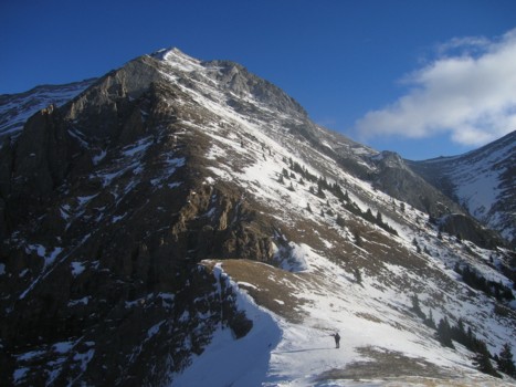
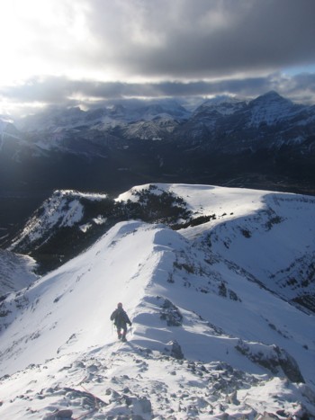
Heading towards our objective; the summit of Mount McDougall (far right)
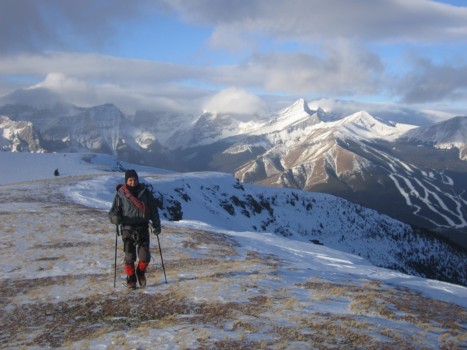
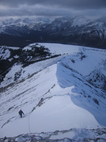
More of Old Baldy Ridge, with Nakiska Ski Hill, Mount Allan, and Wind Mountain behind
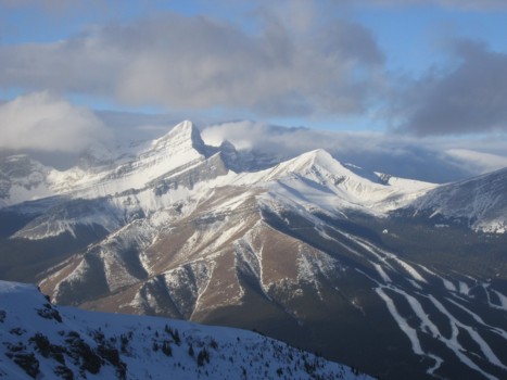
A closer look at Wind (left of centre), Allan (right of centre), and the ski hill
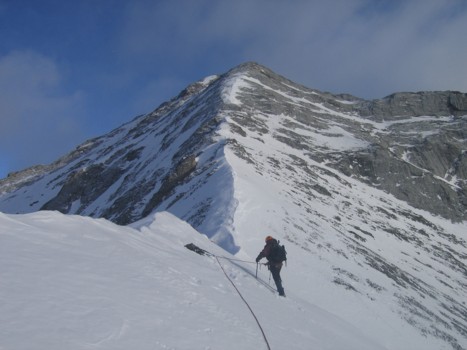
Approaching the ascent route
Same as above
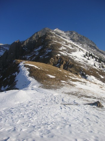
Same as above
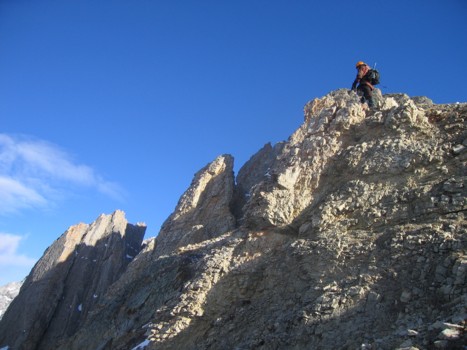
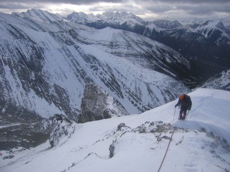
Checking out some of the pinnacles left of the ridge
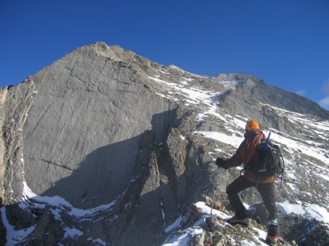
Approaching the smooth slab. The slab is about 70-80 metres high
Contemplating a free solo ascent of the slab......yeah, right!! (not unless I suddenly sprout wings)
Snow cover on the ridge
The snow was rock hard here; not traversable without crampons
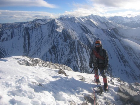
Setting up protection around a rock
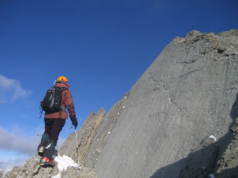
Looking back at the ascent route
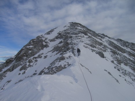
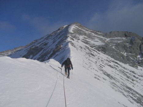
Approaching the summit
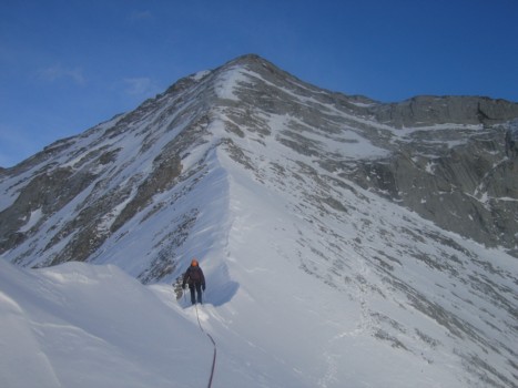
The ascent route again
A southwest view; Fisher Peak (far left), The Wedge (far right)
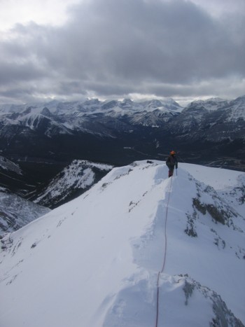
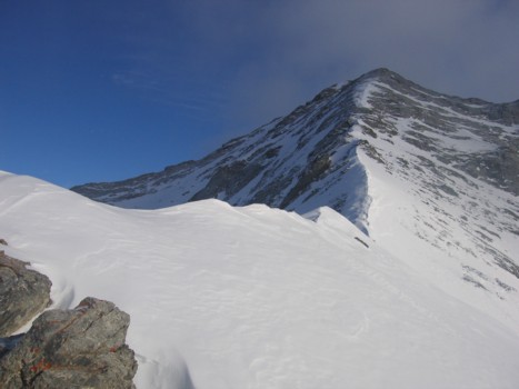
More snow on the ridge before the summit
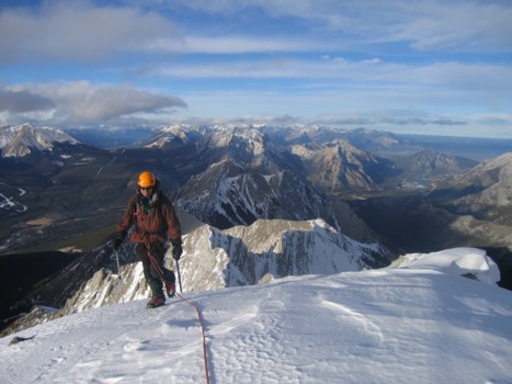
At the summit, looking north
Looking down the ascent route
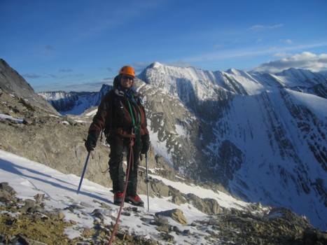
Mark at the summit, with McDougall (just left of centre) and Fisher Peak (just right of centre) behind
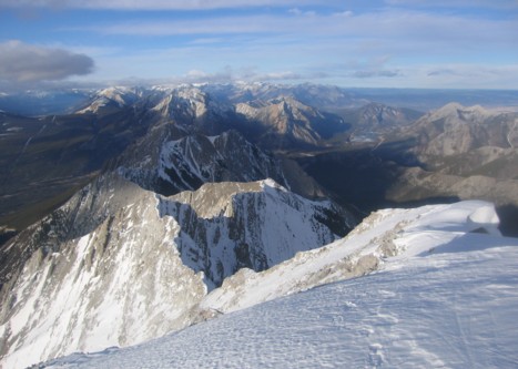
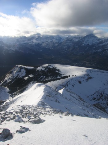
Other highpoints along the Mount McDougall massif, with Wasootch Peak (GR334455)at the north end; little, but fun Mount Baldy at the far right
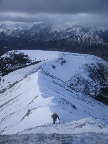
Mark starts the descent
Traversing on the ridge, instead of below it, as we did on ascent
The view towards Mount McDougall
HOME
SCRAMBLES
MOUNTAINEERING
OTHER TRIPS
PHOTO GALLERY
LOG
FAVOURITES
LINKS