Orient Point
October 19, 2023
Mountain height: 2653 m
Elevation gain:
1570 m
Ascent time: 5:35
Descent time: 5:20
Scrambling with
Doug Robson and Scott Mills.
A super cool day
with two super cool humans!
 Doug and I had
been trying to organize a second trip together and when our schedules finally
aligned, they also did so with a friend of Doug’s, Scott Mills. Not only was
Scott a very accomplished mountaineer with years of experience, but he was also
the proud owner of a Toyota 4 Runner. In the math/mountain universe, 4 Runner =
ascent in The Ghost! We picked Orient Point because neither of us had done it
and the route earned a five-star review from Cornelius Rott. We also decided to
follow Cornelius’ route up and down the mountain.
Doug and I had
been trying to organize a second trip together and when our schedules finally
aligned, they also did so with a friend of Doug’s, Scott Mills. Not only was
Scott a very accomplished mountaineer with years of experience, but he was also
the proud owner of a Toyota 4 Runner. In the math/mountain universe, 4 Runner =
ascent in The Ghost! We picked Orient Point because neither of us had done it
and the route earned a five-star review from Cornelius Rott. We also decided to
follow Cornelius’ route up and down the mountain.
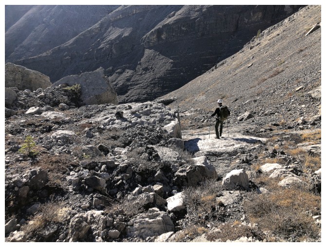
The approach
road was in decent condition and Scott negotiated it with ease. More
importantly, Scott was able to drive a good distance south towards the 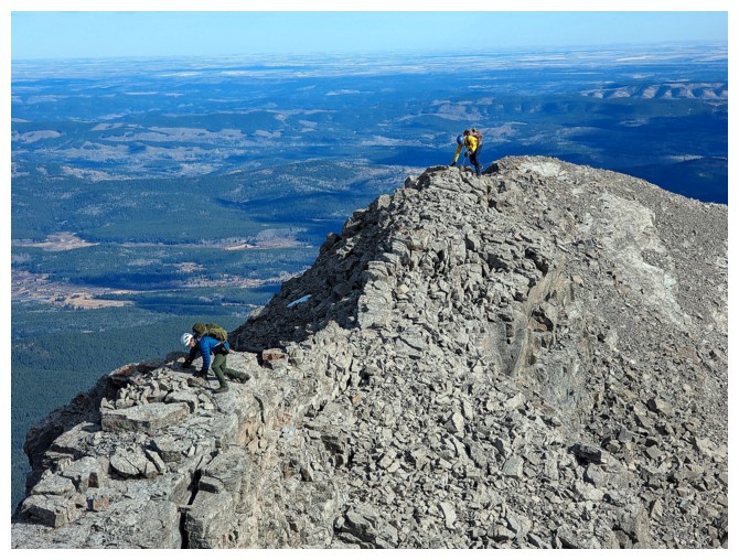 South
Ghost River, saving us from several kilometres of walking. Following Cornelius’
GPS track was very easy. We were all surprised by the number of well-trodden
trails in the area and also impressed by the vertical walls of rock of Orient’s
awesome southeast face.
South
Ghost River, saving us from several kilometres of walking. Following Cornelius’
GPS track was very easy. We were all surprised by the number of well-trodden
trails in the area and also impressed by the vertical walls of rock of Orient’s
awesome southeast face.
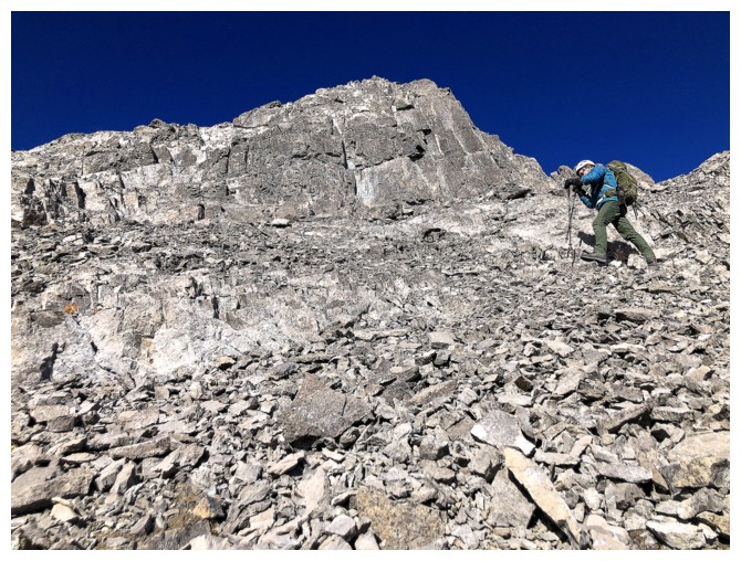
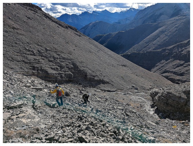
Upon
reaching
the south ridge of the objective, a steep rubble slog ensued.
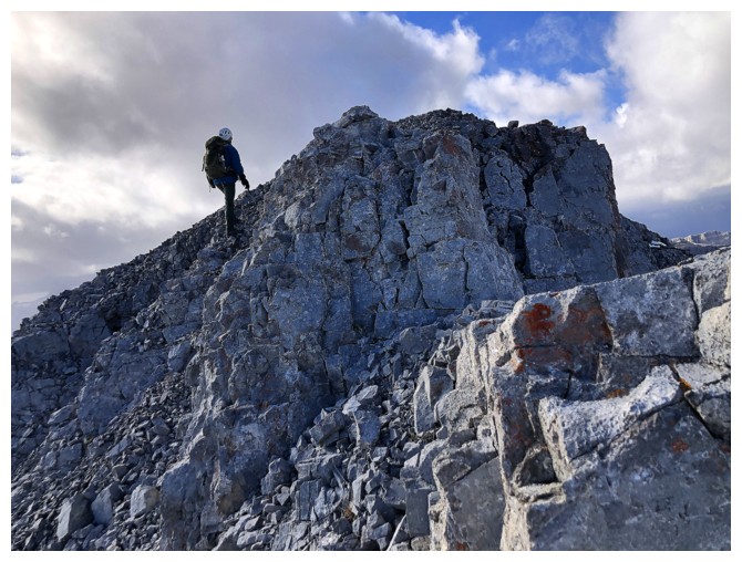
 Fortunately, once
above that section the remainder of the ascent featured super
interesting rock
formations and terrain, a few sections of fun, hands-on scrambling, and
terrific views (though marred a little by the unexpected nasty weather
to the
west). Doug led much of the ascent, scrambling with ease up some pretty
fierce terrain. A strong, gusty wind made the final section to the
summit a
little more nerve-wracking than it normally would be, but we all
arrived safely, Scott tearing up the last section and getting to the
summit well ahead of Doug and me.
Fortunately, once
above that section the remainder of the ascent featured super
interesting rock
formations and terrain, a few sections of fun, hands-on scrambling, and
terrific views (though marred a little by the unexpected nasty weather
to the
west). Doug led much of the ascent, scrambling with ease up some pretty
fierce terrain. A strong, gusty wind made the final section to the
summit a
little more nerve-wracking than it normally would be, but we all
arrived safely, Scott tearing up the last section and getting to the
summit well ahead of Doug and me.
Due to the wind,
we didn’t stay long at the top, instead descending to a sheltered area for a
food break. We then followed Corneluis’ alternate descent route down the mountain.
Kudos to him for route-finding his way down here. From above the route looked fairly
straightforward, however, it is interrupted by numerous near-vertical rock
bands. We were glad to have his track to keep us on track! The same was true
for the lower section of the descent, requiring a light bushwhack to get down to
the very wide and dried-up South Ghost River.
The last part of
the day went on for much longer than anticipated, but we did make it back to
Scott’s vehicle with enough time to get back onto the main approach road before
darkness set in.
Great trip! A huge shout-out
and thank you to Cornelius for the route and also to Doug and Scott for their
awesome company.
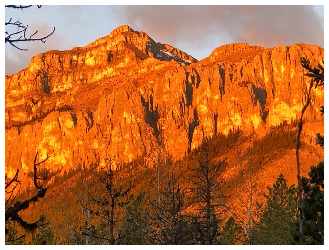
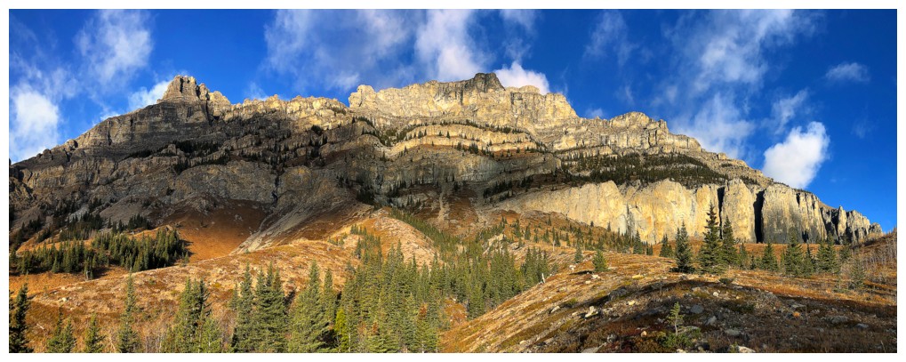
Early Sunlight on the southeast side of Orient Point
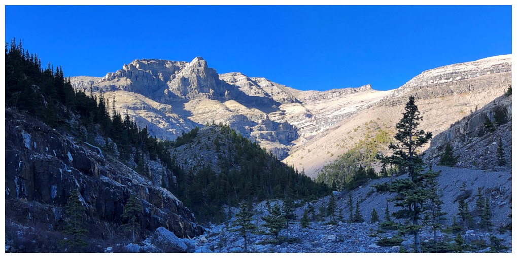
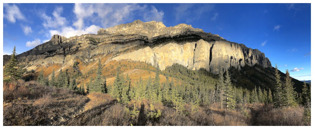
Later Sunlight
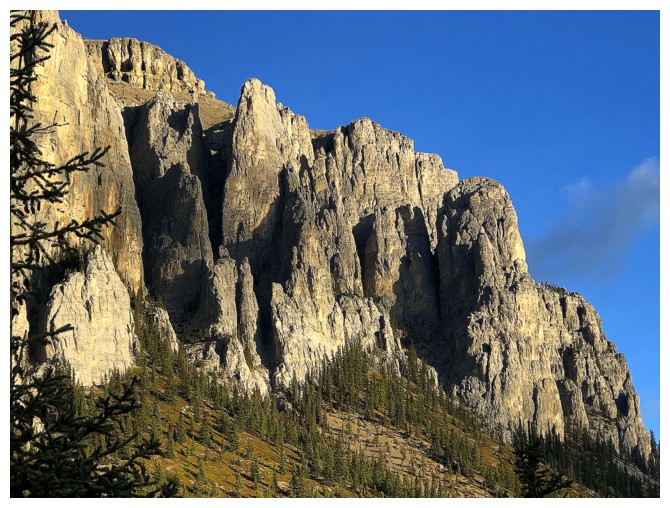
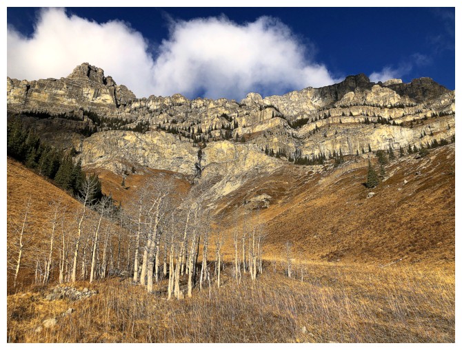
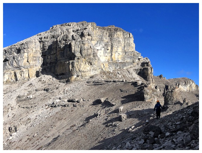
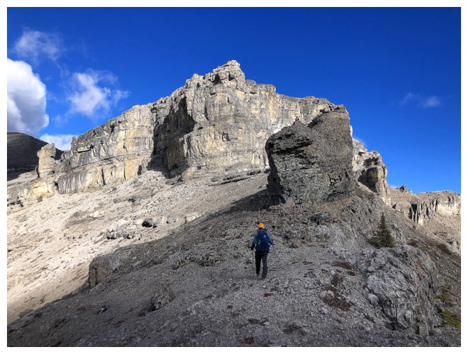
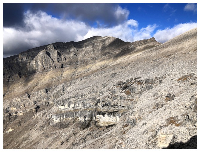
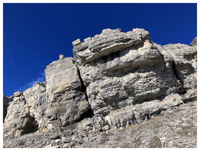
The rock on this side of the mountain is very impressive
In fact, the entire southeast side is impressive
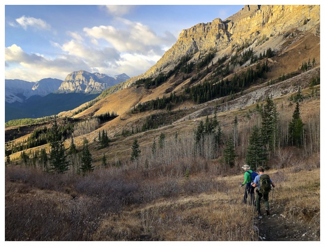
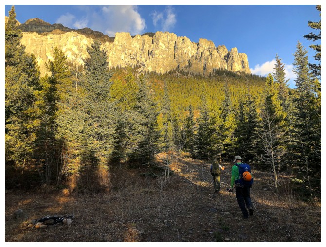
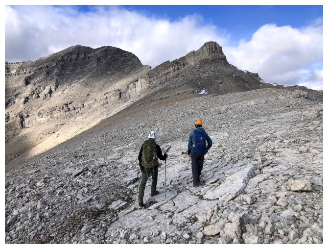
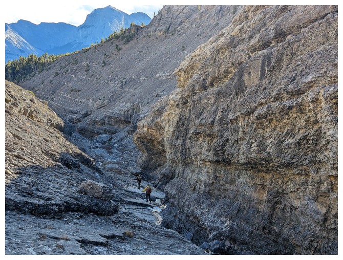
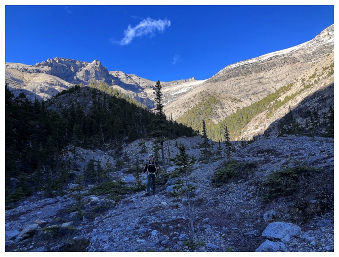
Scott and Doug follow a surprisingly good trail towards the ridge in front
Same as above with End Mountain in the distance (left)
Still mesmerized with this side of Orient
...and still!
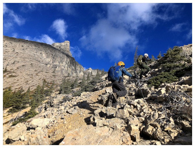
Onto the south ridge of the objective
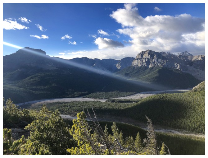
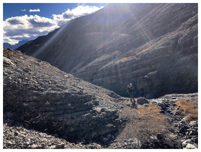
A very focused Sunbeam or the way the camera is interpreting the light
Scott and Doug gain the south ridge
Obviously only one way to go here
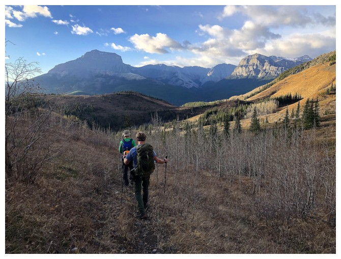
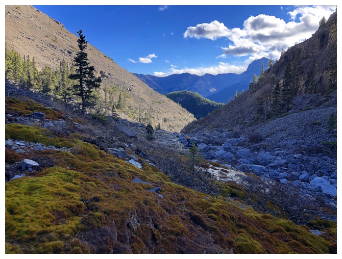
Looking back over some of the approach
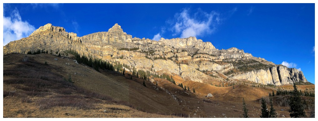
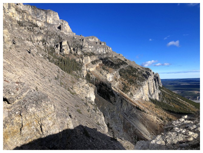
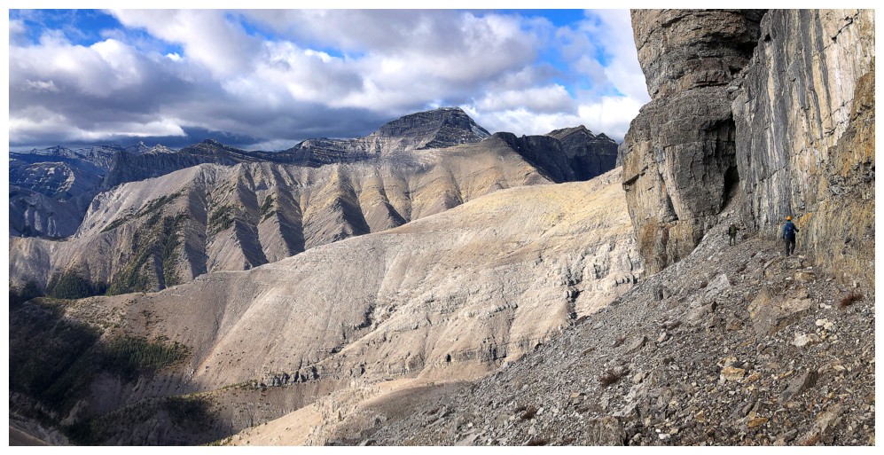
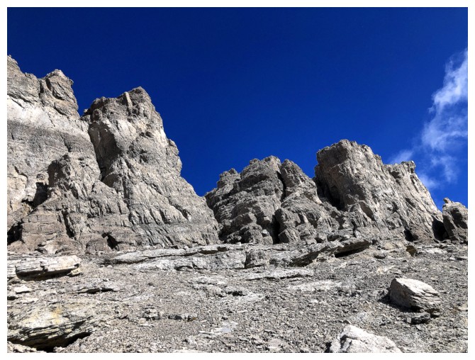
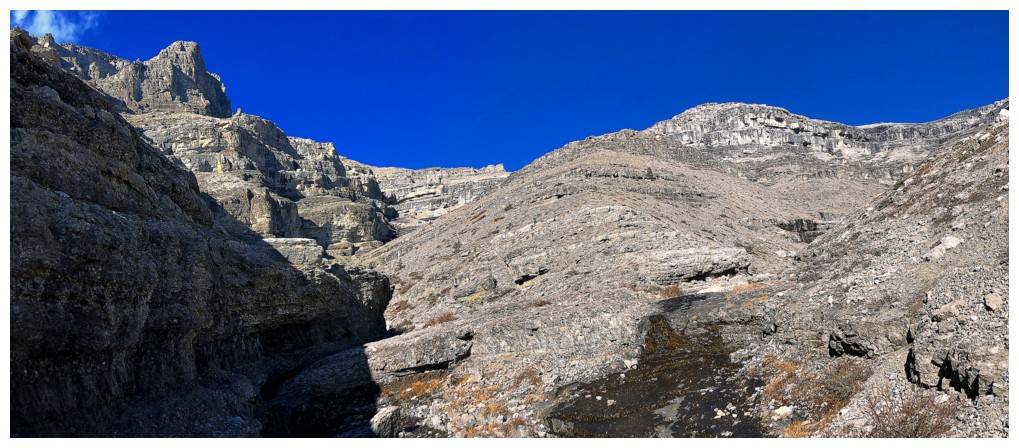
Now we get the up-close views of some of that impressive rock that makes up the southeast side
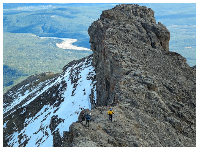
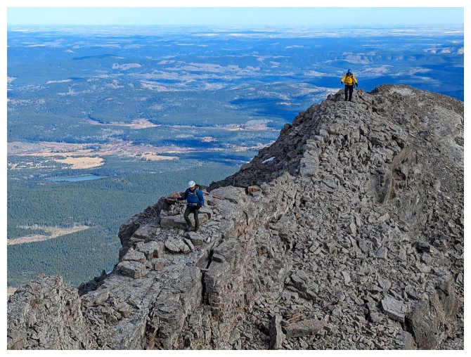
Scott and Doug on a pleasant section of the south ridge
Again, enjoying views of the southeast face
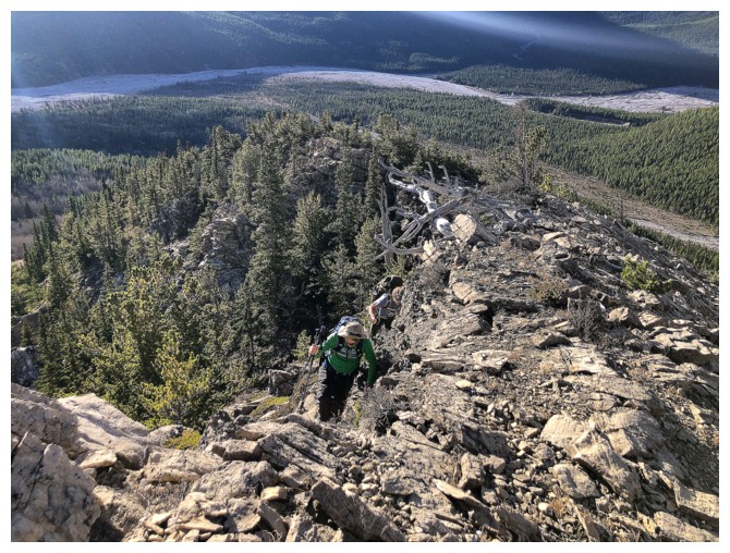
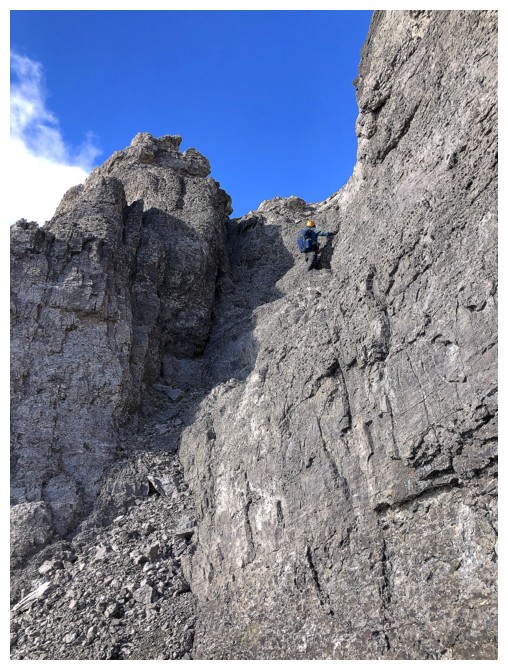
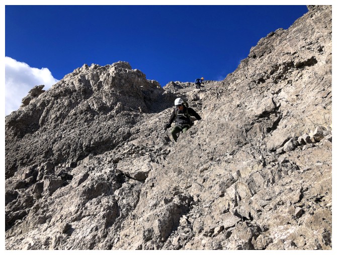
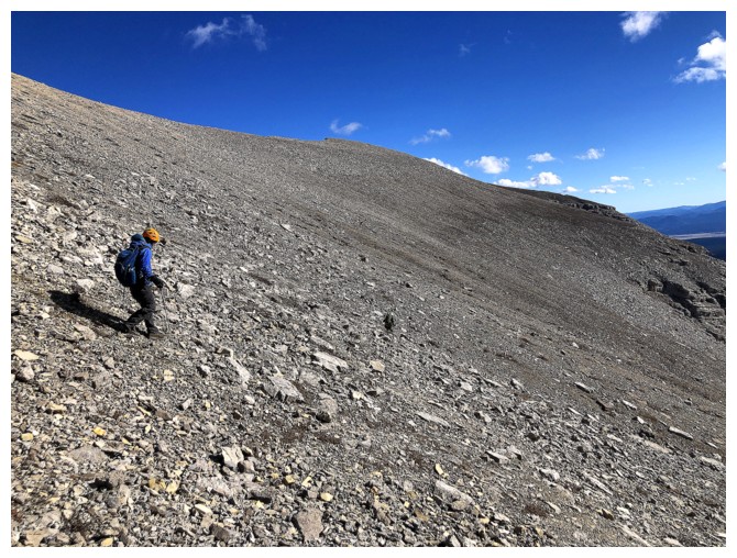
Doug starts up the not-so-pleasant section of the ridge. The terrain here is loose and steep rubble.
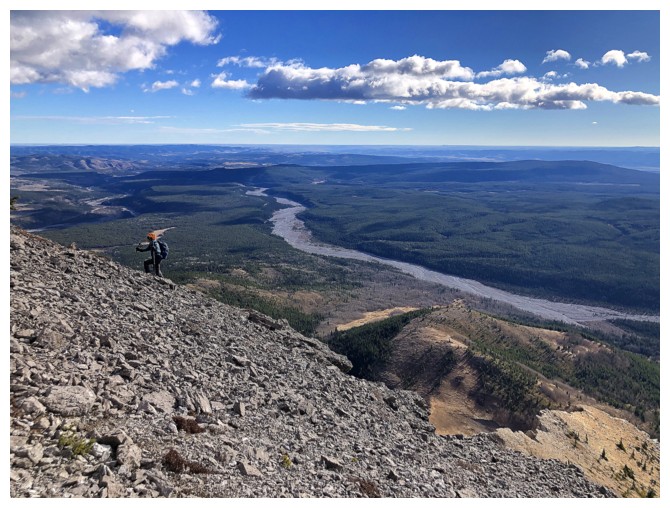
Scott grinds up the ridge. The very wide and presently bone-dry South Ghost River is also an impressive sight.
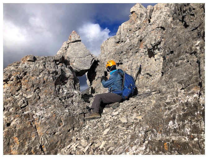
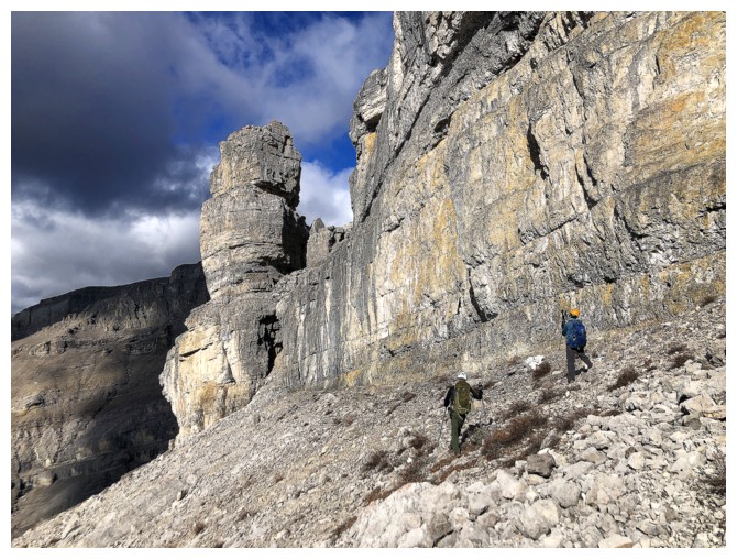
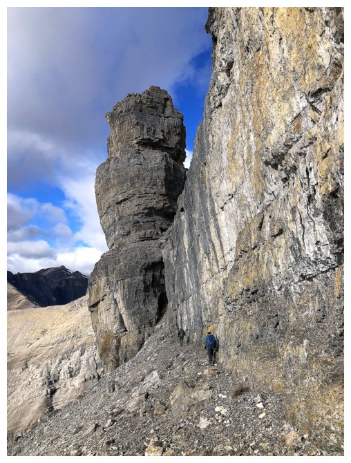
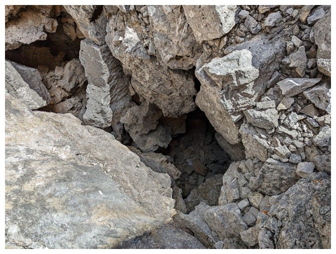
Scott spots a cool rock window
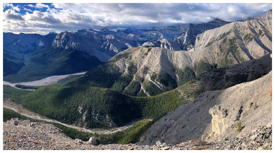
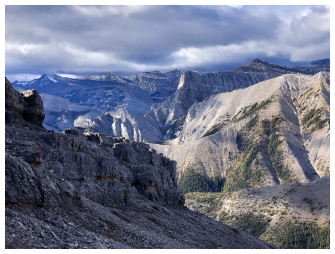
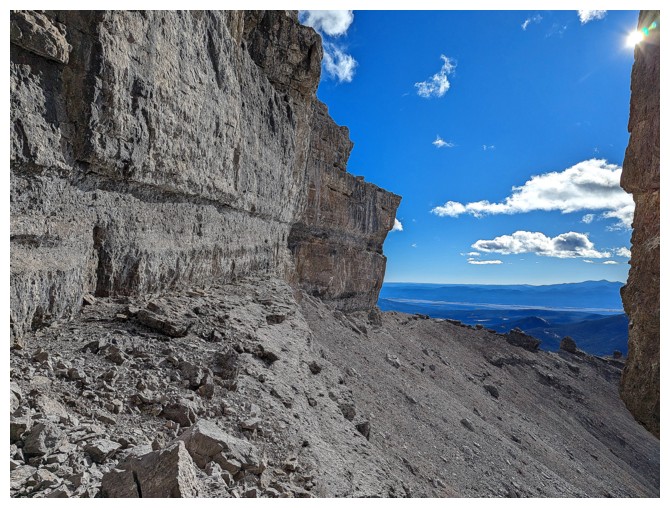
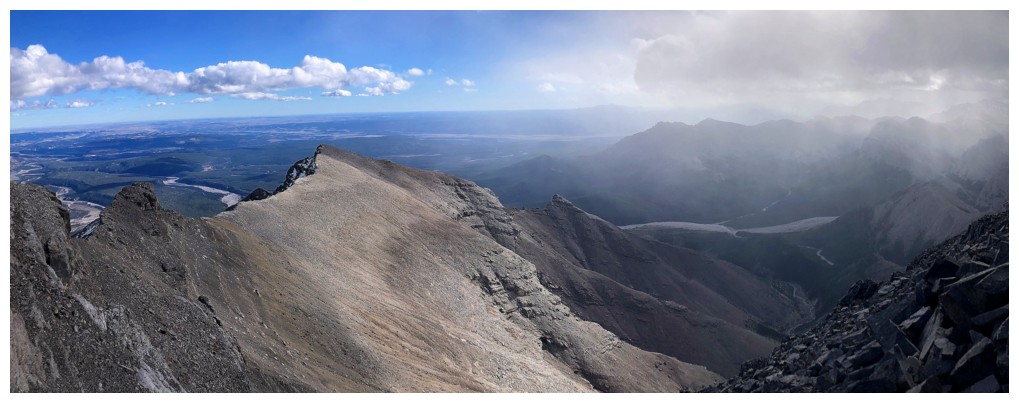
Great view to the southwest, but the cloud cover was a little disappointing
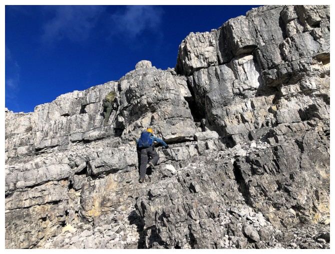
Scott tackles a nice section of scrambling
The route becomes far more interesting at this point
Won't be scrambling up that!
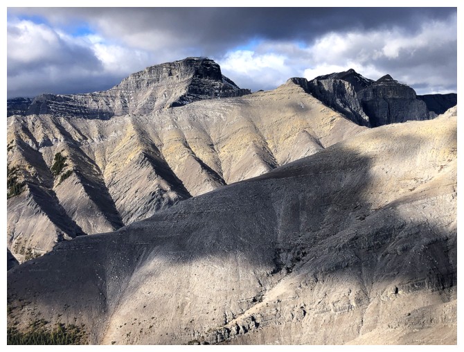
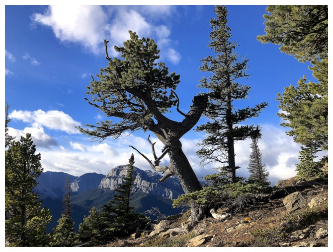
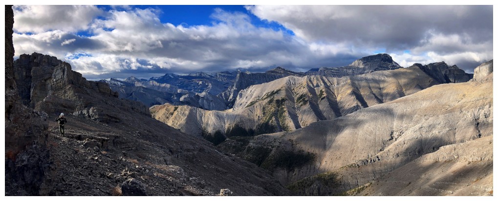
Ridges and peaks to the west
The cloudy conditions did create some cool lighting
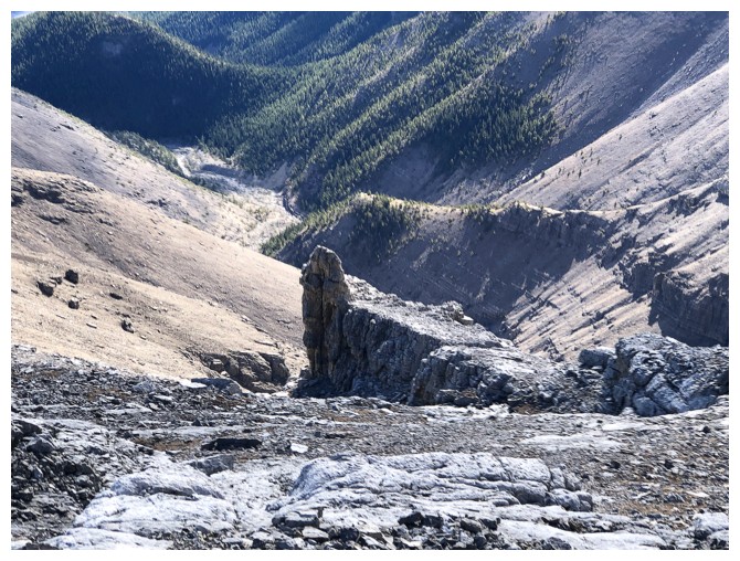
The ridge is lined with cool pinnacles
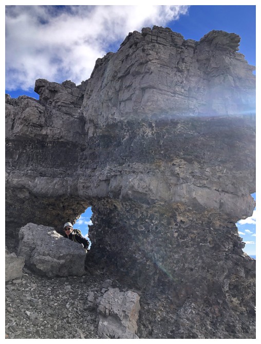
Doug finds another rock window
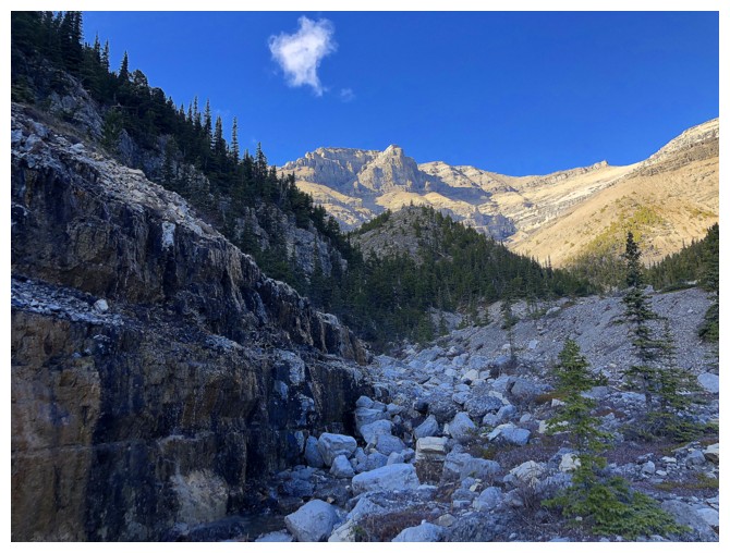
Looking back at some of the cool terrain behind
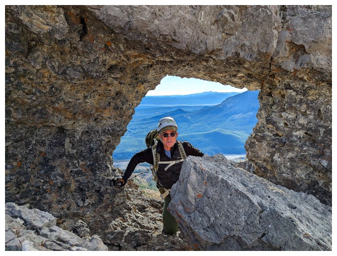
Doug in the window (photo by Scott)
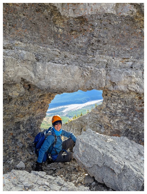
Scott in the window (photo by Doug)
Continuing on
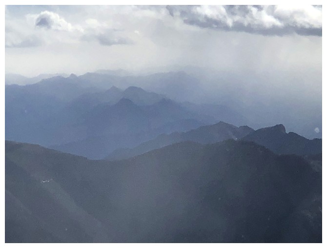
Signs of clearing to the west, but it's a ruse!
Doug and the ridges to the west (photo by Scott)
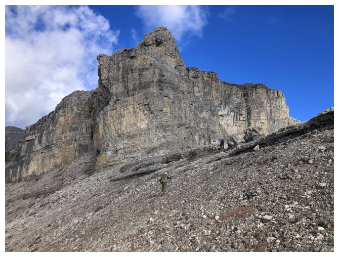
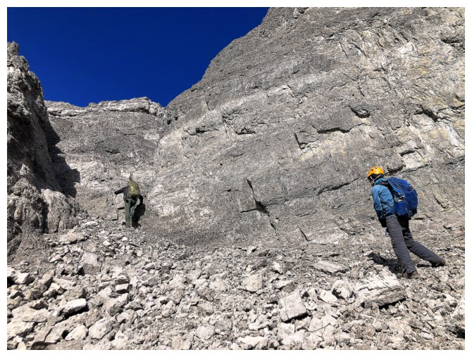
Approaching a serious rock band that must be circumvented on the left side
Heading left
Looking back (photo by Scott)
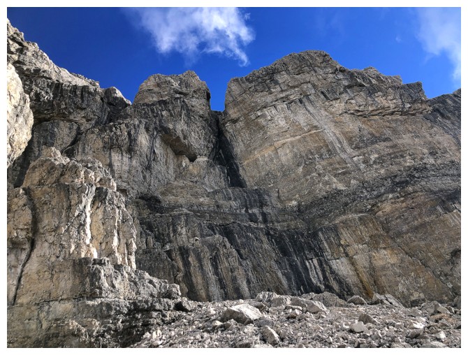
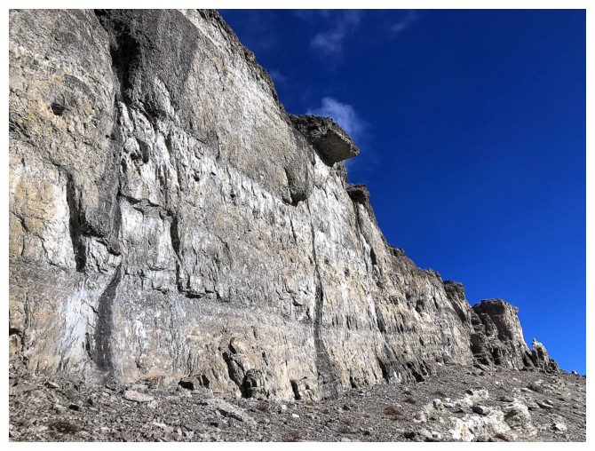
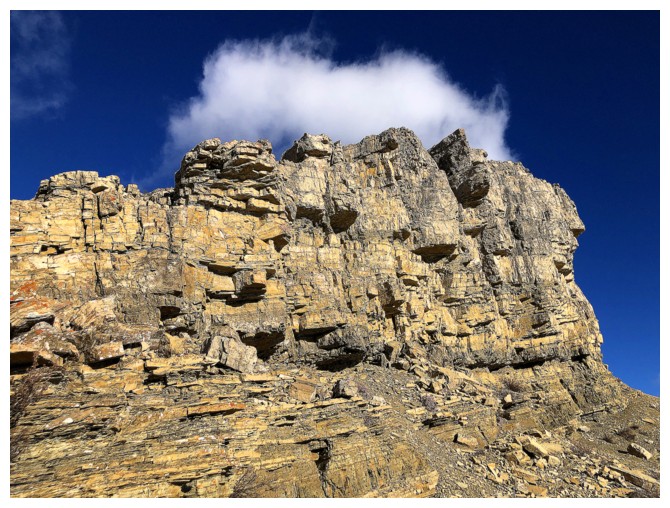
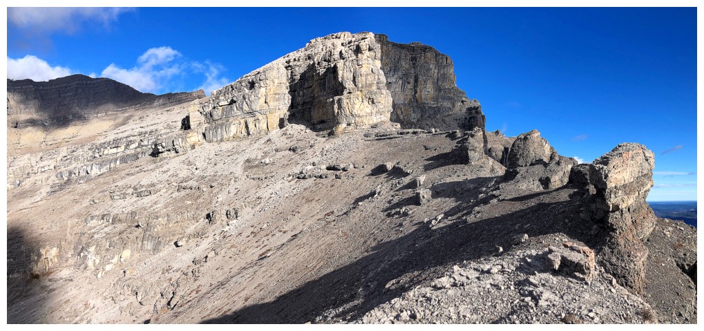
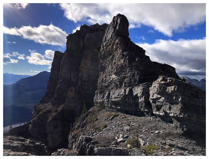
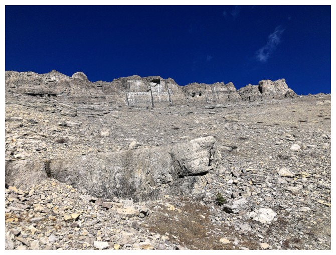
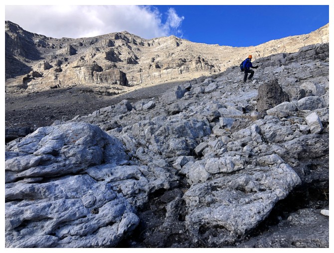
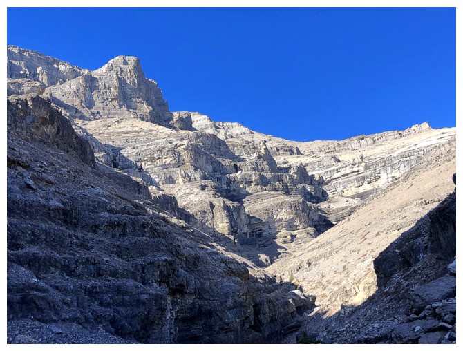
Super impressive vertical walls of (more of less) solid rock
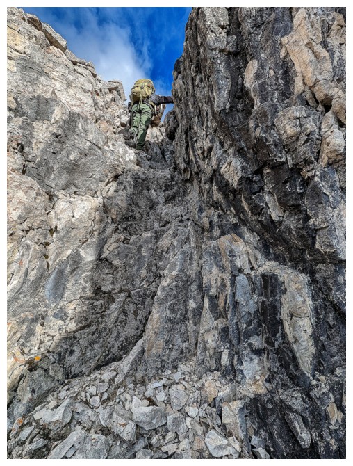
Doug heads for a cave-like feature in the rock
Same as above
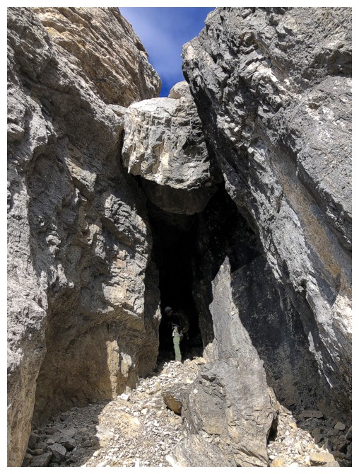
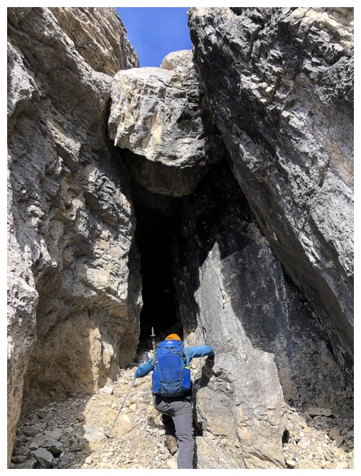
It's not just a cave, but provides a difficult route up and through the rock band, via a small hole (similar to Grillmair Chimney on Yamnuska). Doug and Scott went up, while I went around.
The small hole you emerge from (photo by Scott)
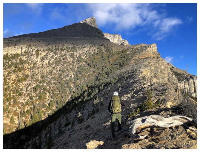
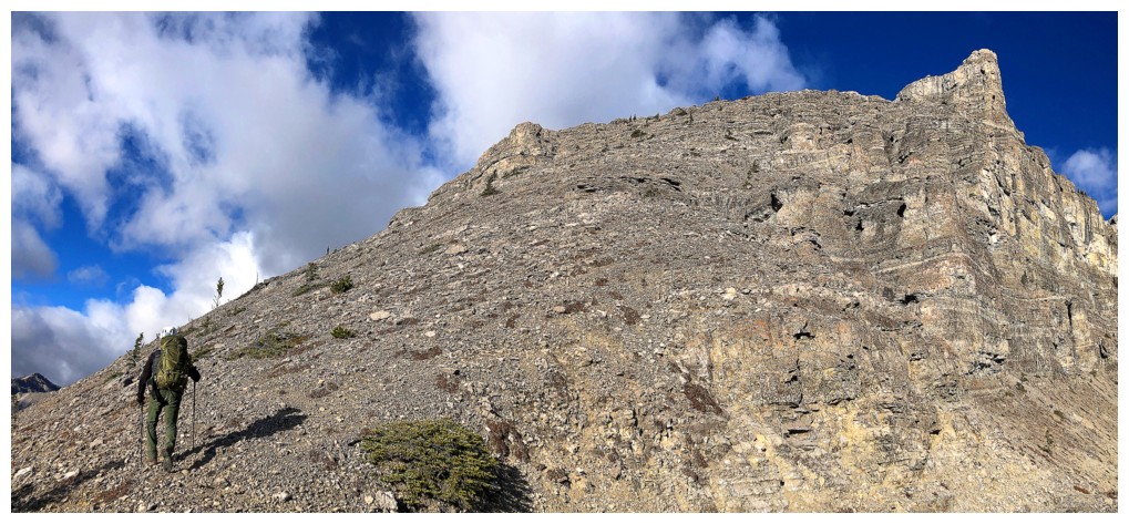
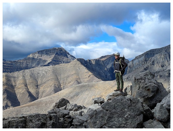
Around the corner, the summit is finally revealed, but is still a distance away
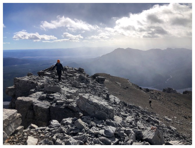
Back on the ridge
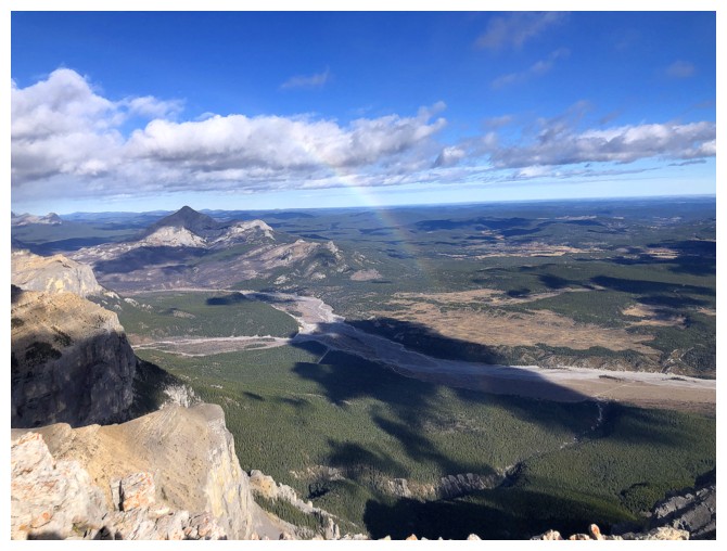
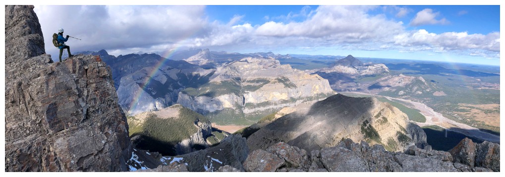
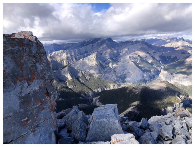
A rainbow faintly frames Black Rock Mountain
A more comprehensive view
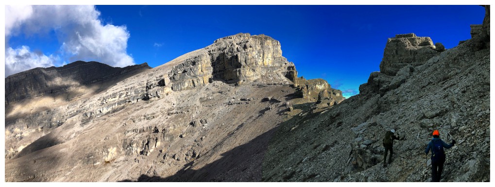
Challenges up ahead
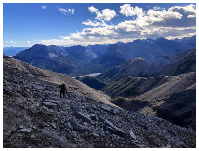
More traversing below amazing rock bands. And the clearest sky of the day.
Doug looks for a weakness
And finds one (photo by Scott)
Up goes Scott
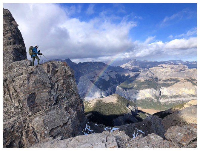
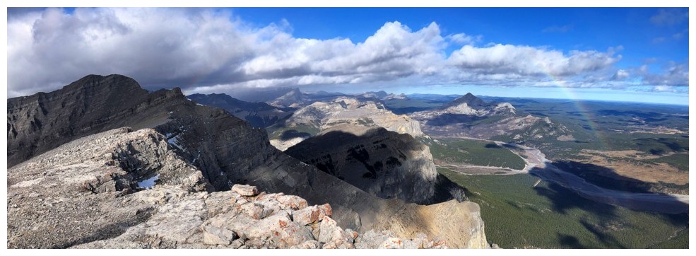
Doug and the other end of the rainbow
Same as above
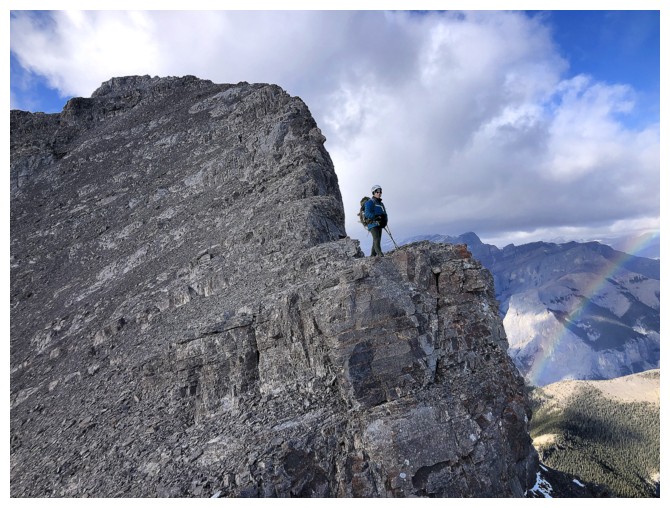
Scott's view of me and Doug on the ridge (photo by Scott)
Close-up (photo by Scott)
Scott battles the rubble, typical on mountains in the area
Hoping that's the summit but it wasn't
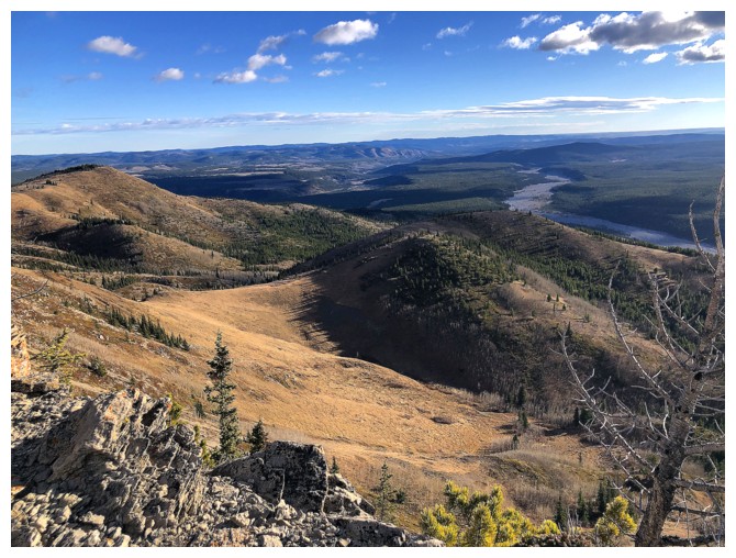
View to the north
The route wasn't intensely exposed but very strong gusts of wind made it feel more serious (photo by Scott)
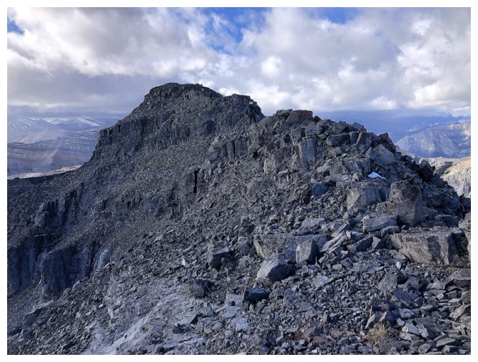
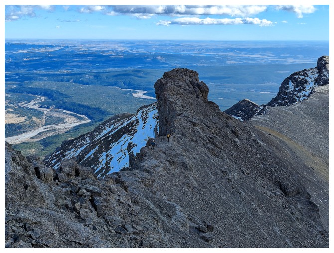
There's the summit
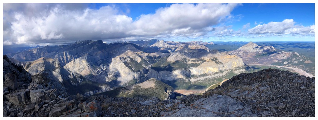
Lots of really cool stuff to the north, including Devil's Head and Phantom Crag
Scott at the top
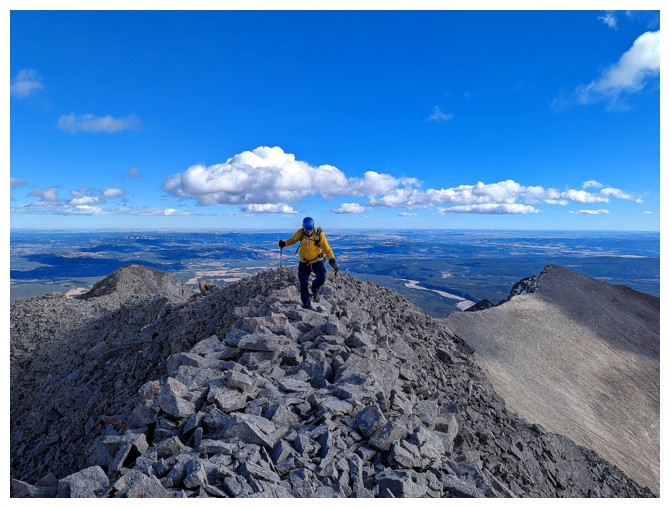
Last few steps for me (photo by Scott)
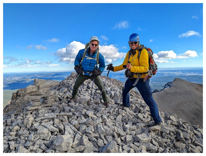
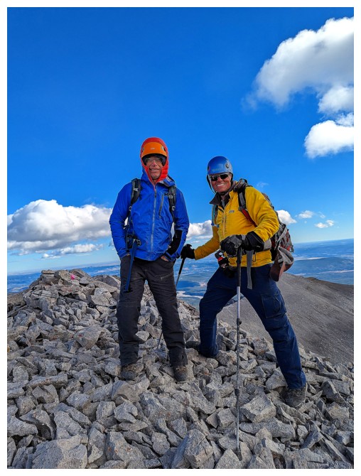
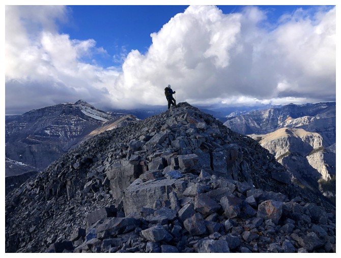
Doug and I at the summit, bracing ourselves against the vicious wind (photo by Scott)
Doug quickly checks out the ridge to the west
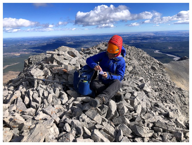
Scott signs the register
Clear to the east, blustery to the west
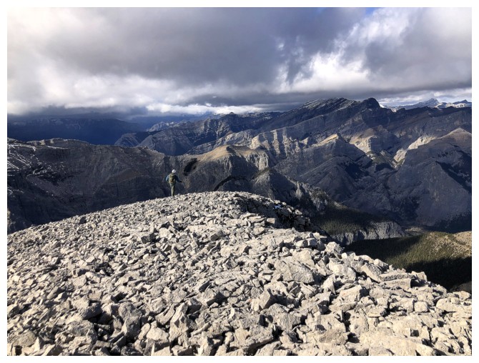
Mysterious view to the south
Descending
Looking back at the south ridge
A section of easy terrain...
...that eventually leads to a cliffband
Back to easy terrain
Approaching another drop-off
Past the drop-off
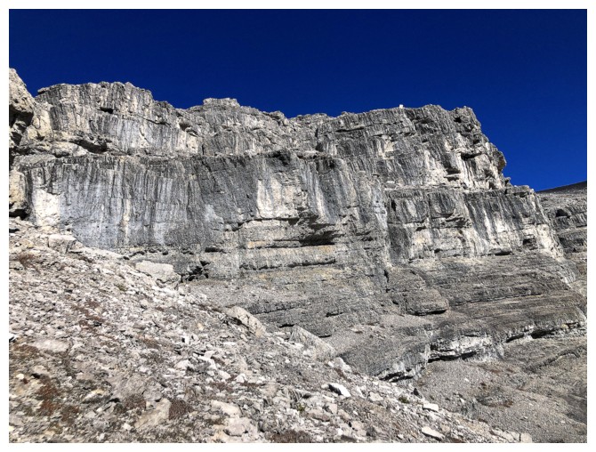
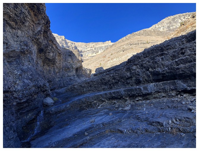
The rock bands along the route are all impressive
Aiming for the south drainage
The drainage is close (photo by Scott)
Scott and a big chunk of the descent route
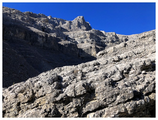
The cool rock bands never stop on this mountain
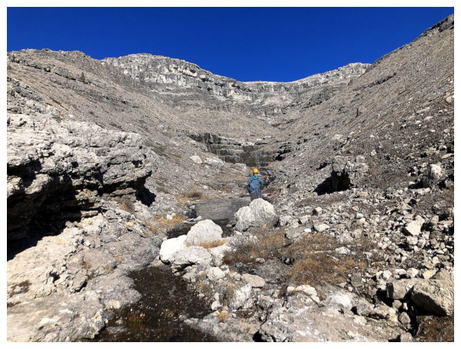
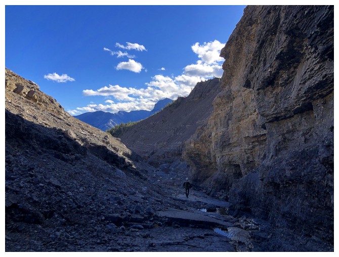
Finally in the drainage
There will be lots of looking back from here on, as the descent route and drainage are fascinating
Case in point (photo by Scott)
Case in point 2
and 3
Part of Orient's other south ridge
Seeing some green for the first time in several hours
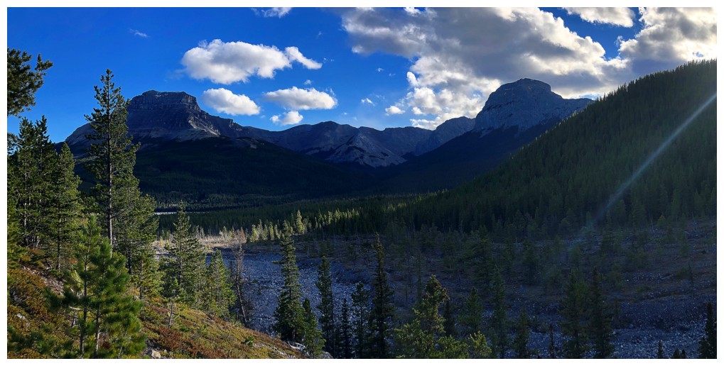
End Mountain and an unnamed peak
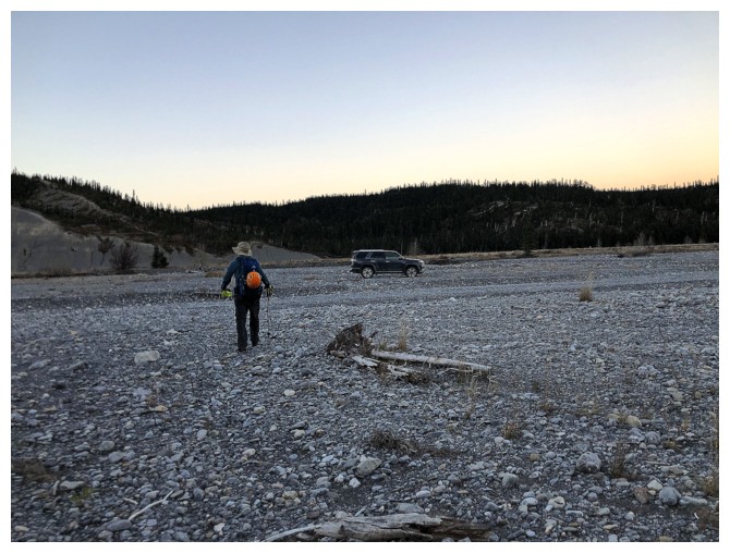
Scott leads the triumphant last few steps to the vehicle
The End
LOG