Mountain height:
3000 m
Total elevation gain: 1340
m
Ascent time: 6:50
Descent time:
3:50
Climbing (5.7?) with Mark.
Thank God we made the summit of this infrequently ascended peak, because the Chinese Red Army, 5.2 million dollars, or free anchovies for life couldn’t persuade me to repeat the ascent. Mark, on the other hand, could probably be coaxed with a couple of Sleeman Honey Brown Lager.
The trip started with the
pleasant hike around the south side of
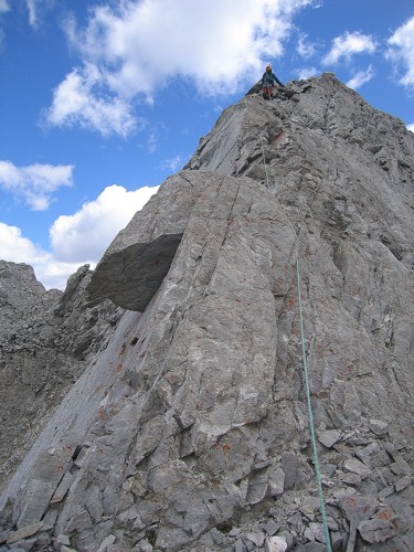
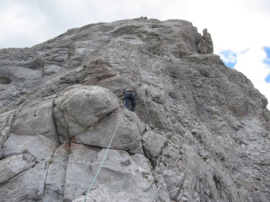
Once on the ridge, we followed it up and over several bumps, some a touch exposed. The summit block eventually became visible and looked quite intimidating. I decided to put on rock shoes to ascend the 5.3 terrain. Lucky I did, as the terrain was definitely not 5.3. The crux involved only three or four moves, but was on a steep, exposed face with virtually zero handholds and nowhere to place protection. It took me several minutes to psyche myself up to ascend the face and even then the ascent scared the heck of out me. Mark then came up and we walked to the summit, a couple of minutes away. There was a cairn and the remnants of the canister for a register, but we found it strange that there was no evidence of a rappel station to get down the final steep section we had just come up.
The weather wasn’t great, but
the summit view was still fantastic. Especially impressive was the serrated,
narrow, pinnacle-studded ridge of the
A difficult and sometimes stressful ascent, but totally worth the effort. (In retrospect, maybe I’d do it again for the anchovies).
Note: after careful scrutiny
of Mr. Collier’s description and the ones found in The
Rocky Mountains of Canada South, we discovered the reason why the climbing
was more difficult than described was because we had used a different route and
arrived at a different summit than both descriptions. The
Rocky Mountains of Canada South states that in 1972, “D (Don)
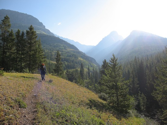
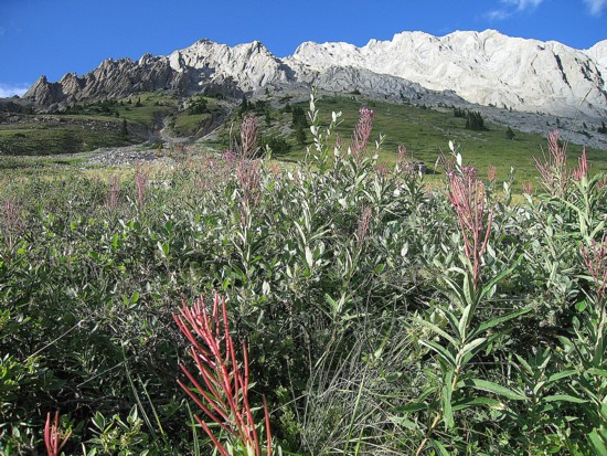
The good approach trail around Grizzly Peak; Packenham is second from the right
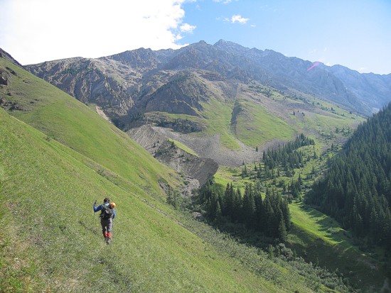
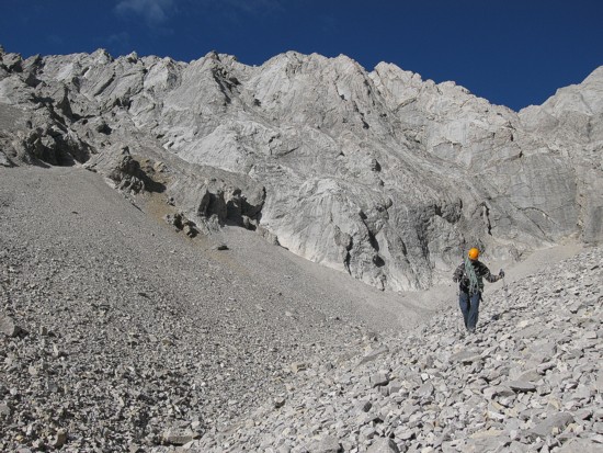
Around the south side of Grizzly; Evan-Thomas in front
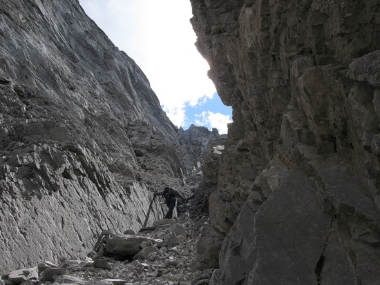
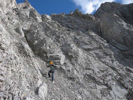
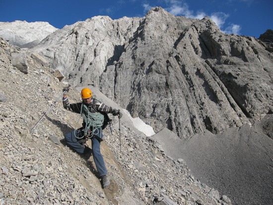
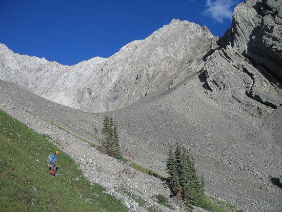
Starting up the ascent gully
Mark scrambles up
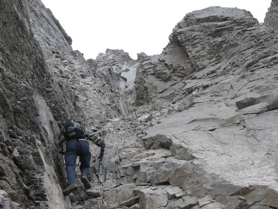
Typical terrain in the gully
Hand-over-hand - the best way to ascend!
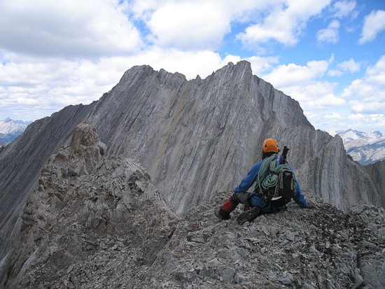
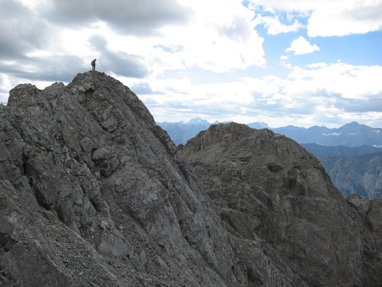
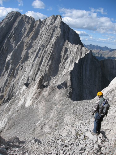
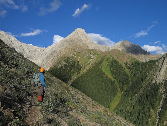
Mark looks at Evan-Thomas from the ridge
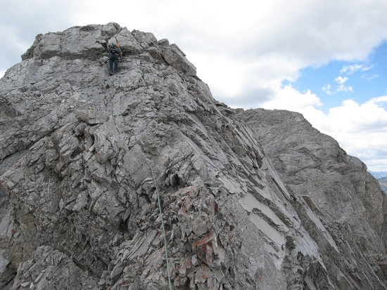
Some exposed terrain leads to the summit block
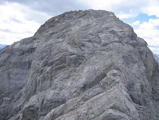
The summit block
Mark descends a step before the summit block
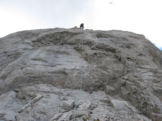
The first pitch of the summit block; pretty easy climbing here
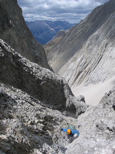
Starting up the crux rockband
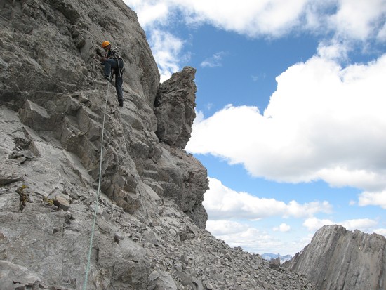
Approaching the crux steps above my head
At the summit, looking down to the lower summit to the west
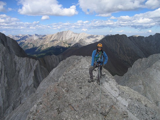
Mark near the summit; the mountain in the sun is Fisher Peak
Looking south to Hood and Brock
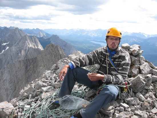
Stuffing my face with a cheese sandwich
Looking north to Evan-Thomas
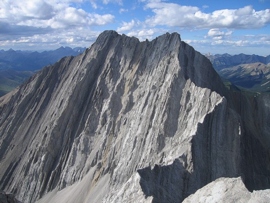
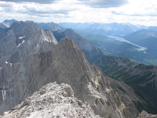
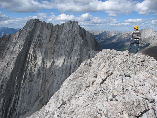
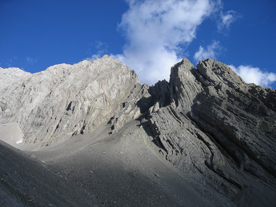
The beautifully aesthetic ridge from Packenham to Evan-Thomas
Same as above, with Fisher Peak behind
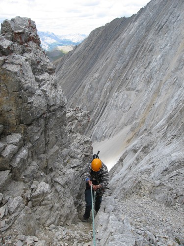
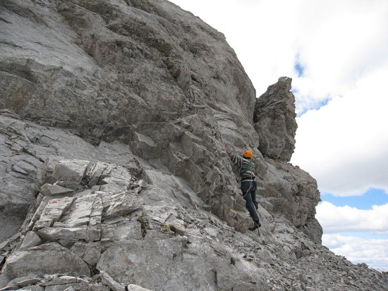
Rappelling the crux
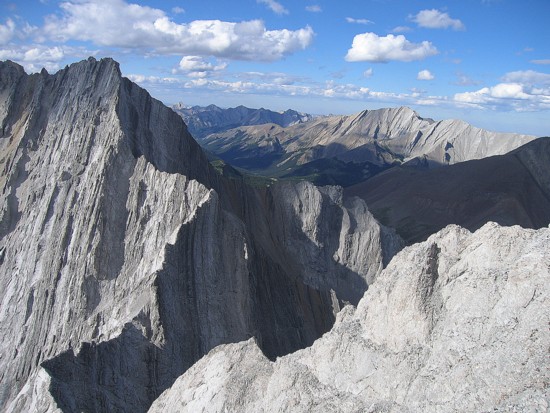
One more shot of the connecting ridge
On descent
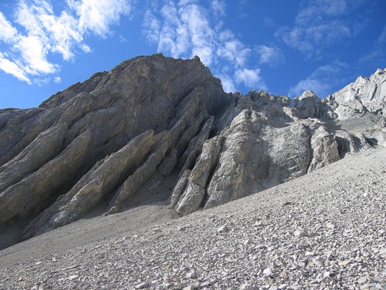
Some of the interesting rock on the south side of Evan-Thomas
Descending the rubble
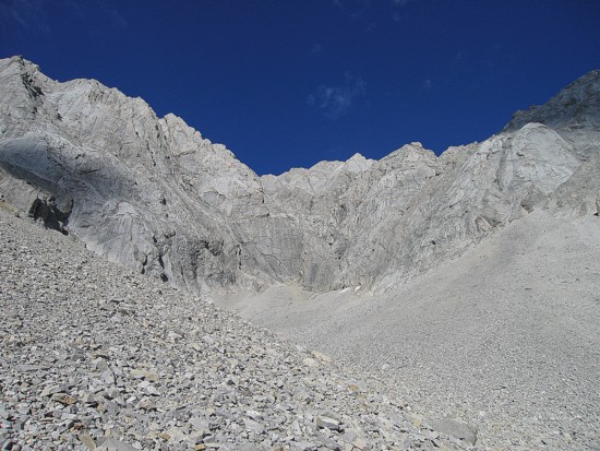
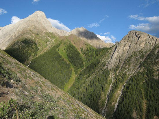
Looking back to the head of the valley
More rubble, with Packenham behind
The south side of Packenham
More of the same
Looking up to Evan-Thomas
Mount Packenham from afar
Same as above
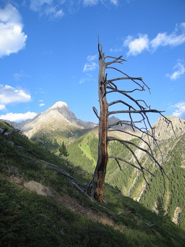
My favourite dead tree of all time, with Packenham to the left