Patterson’s
Peak via “
Mountain height
Serendipity:
2666 m
Patterson’s Peak:
2728 m
Total elevation gain:
approx. 1300 m
Ascent time to Serendipity: 3:30
Traverse time to Patterson’s Peak: 1:15
Descent time:
4:15
Solo scramble.
We can call this trip “A Tale of Two Bob’s”, since
Bob Parr gave the idea for Patterson’s Peak and Bob Spirko’s trip report of “
Navigating the treed ridges to the start of the ascent route was not as difficult as I thought it would be, thanks to Bob’s excellent description and the marvels of GPS. The grassy meadows at the bottom of the ridge were very beautiful. Ascending Serendipity was also straightforward, with good views of peaks on the Continental Divide.
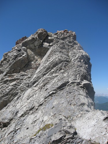
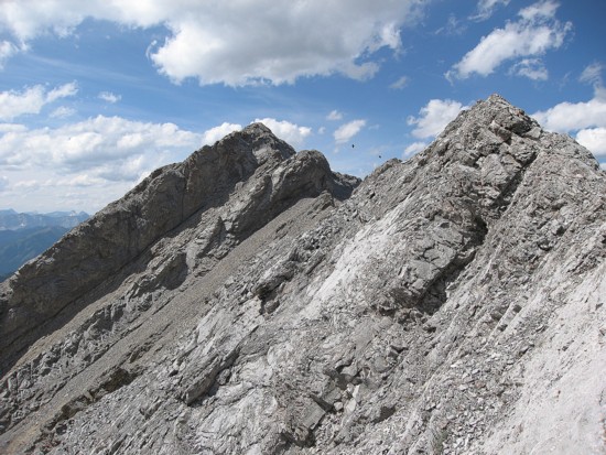
A couple of potential routes to Patterson’s Peak revealed themselves from the summit. The first was the traverse the narrow ridge north and then lose elevation northwest towards the summit. The second was to immediately lose elevation into a bowl below the two peaks and then head more directly to the summit. I choose a combination of the two and it wasn’t a great decision. I ended up side-sloping loose rubble slopes most of the time as a fierce west wind and several downclimbs rendered the ridge too difficult. In retrospect, the more direct route would have been best.
At the lowpoint, I was surprised to find a unique rock arch, not unlike the one on Tyrwhitt, though much smaller. The ascent to the summit of Patterson’s Peak was just a rubble slog from the lowpoint, with some interesting rock formations along the way.
For descent, I decided to first see if it was possible to
traverse over to GR628936. I could then take an easy descent route that I had
done a year earlier on my “
Now down in a beautiful valley below Serendipity, I should have just re-ascended to the ridge and followed the ascent directions in reverse. Instead, I decided to traverse all the way around GR628936 and find the Lineham Creek Trail. This was not difficult, but time consuming and labourious. My final questionable decision of the day was to cross Lineham Creek on a suspiciously narrow log spanning the waterway. When I was right in the middle, the log snapped in two and in I went. The water was only thigh-deep and luckily I landed on my feet, but it was quite startling. A soggy and squelchy hike along Lineham Creek Trail ended a very interesting and pleasant day out.
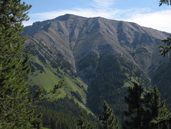
Serendipity Peak; the ascent route goes up the rib on the left
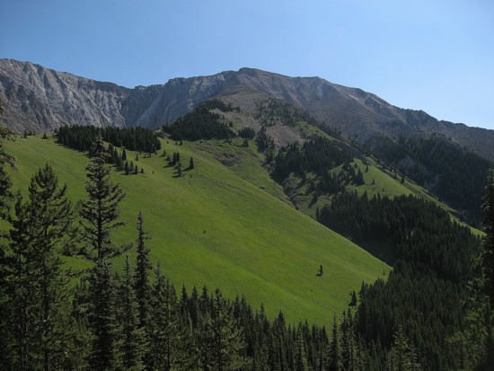
The grassy meadows at the start of the ascent ridge
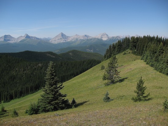
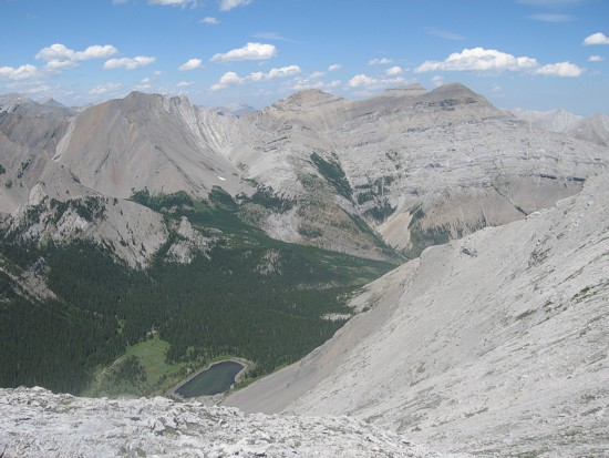
Looking back to
the meadows and peaks on the Continental Divide;
(left to right) Strachan, Muir,
McPhail, and Bishop
are visible
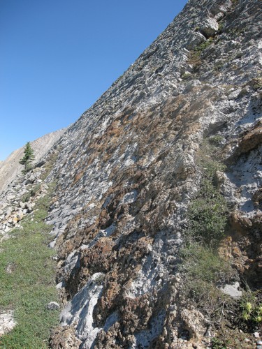
A solid and grippy slab that provided some very enjoyable scrambling
A small downclimb along the way
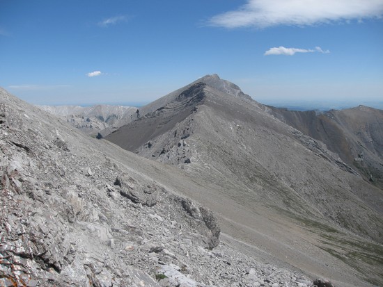
Patterson's Peak
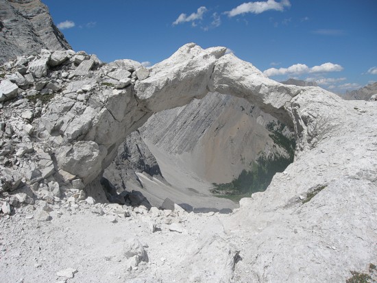
The arch
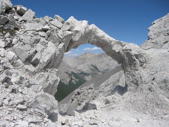
Part of the Dogtooth Mountains seen through the arch
The view to the north; The Dogtooth Mountains and Pyriform are visible
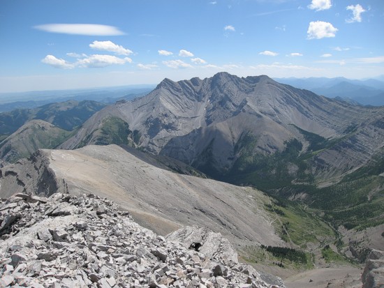
Mount Head, as seen from the summit of Patterson's Peak
The attempt to traverse to GR628936 (just left of centre); The two black dots in the centre are birds
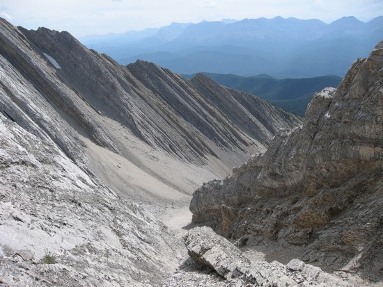
The descent gully
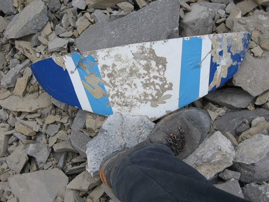
Airplane wreckage next to my size 11 boot
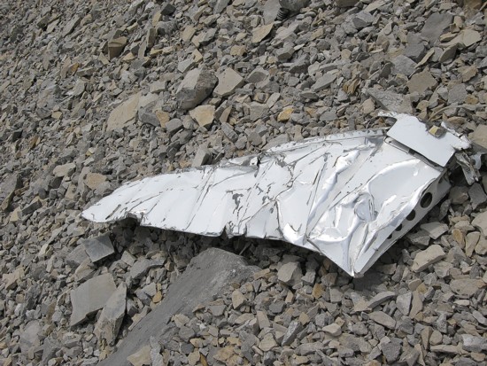
More wreckage