Pincher Ridge IV
August 5, 2018
Mountain height: 2423 m
Elevation gain: 880 m
Ascent
time: 2:30
Descent
time: 1:55
Solo scramble.
 Having
put off an ascent of Pincher Ridge via the descent route in favour of the
northeast ridge of Drywood Mountain (in May of 2017 and again in August of 2018), it was time to give the mountain another go. This peak is one you
shouldn’t go near unless the skies are going to be clear – not because it is a
difficult mountain, but simply because Pincher is one of the more colourful
peaks in the already outrageously colourful Castle area.
Having
put off an ascent of Pincher Ridge via the descent route in favour of the
northeast ridge of Drywood Mountain (in May of 2017 and again in August of 2018), it was time to give the mountain another go. This peak is one you
shouldn’t go near unless the skies are going to be clear – not because it is a
difficult mountain, but simply because Pincher is one of the more colourful
peaks in the already outrageously colourful Castle area.
And so
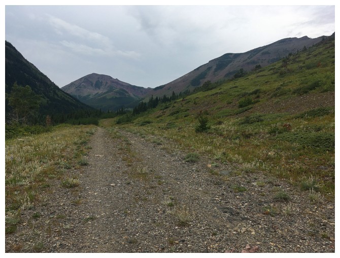
with a mainly sunny forecast in hand, I hopped on my bike to do the
approximately 4 km approach. Disappointingly, the Sun was not to be seen, but
the day was young and I was optimistic for clearer skies. To make a long story
short, the sunny forecast never did materialize and in fact it rained through much
of the ascent. I was actually happy to arrive at the summit with completely
overcast skies, but no rain – a significant departure from the whiny, scowling
demeanor I usually take on when the forecast says sunny and there is nothing
but clouds!
For descent
I decided to see if a direct route south down to the gas road was possible,
with the hopes of perhaps avoiding the bush of the ascent route. Not only was
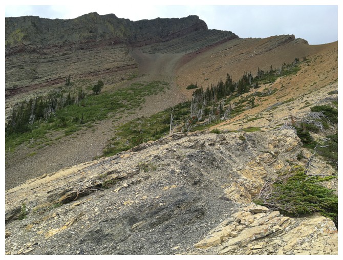
it possible but I found a very cool gully (difficult but not desperate
downclimbing) route down to the scree slopes below, where decent
scree-surfable and bush-free slopes
awaited – definitely the highlight of the day. There also appeared to be a very
easy route down had I continued down the ridge, instead of descending the
gully.
Disappointing
weather, but the alternate descent route made up for it on a nostalgic (see
Pincher I, II, and III) return to Pincher Ridge.
 So much for sunny skies
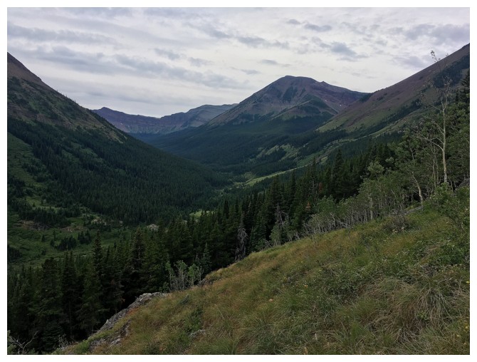
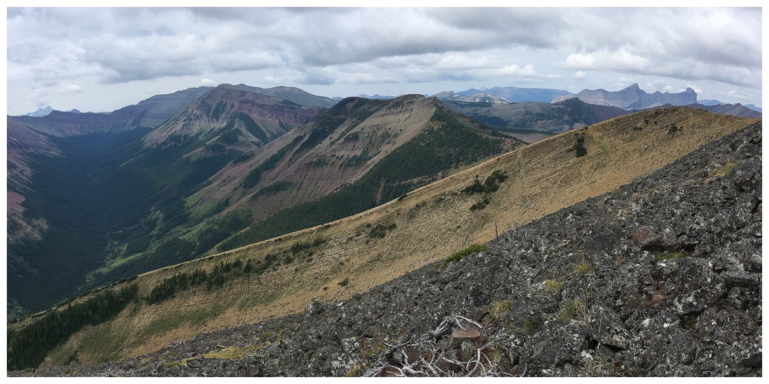
Looking over to the South Peak of Pincher Ridge
The Centre Peak makes its appearance
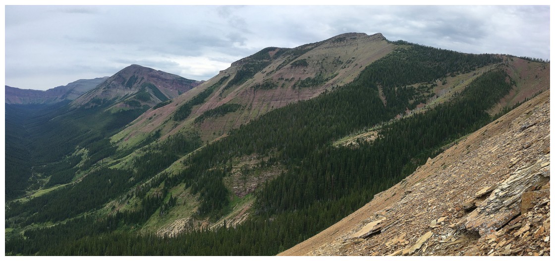
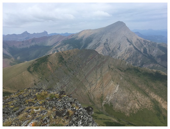
The summit of Pincher Ridge at the right. The clear delineation of rock layers on this mountain is extraordinary
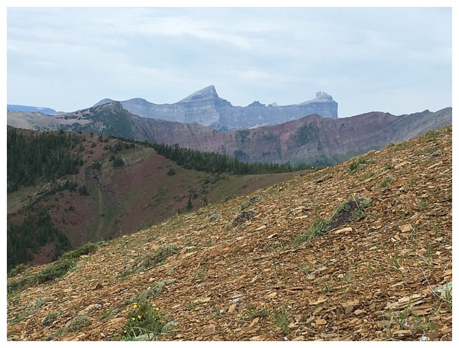
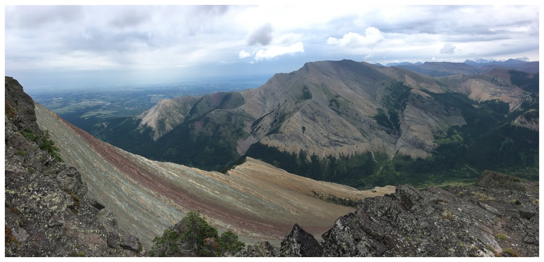
The always picturesque Windsor Mountain (left) and Castle Peak
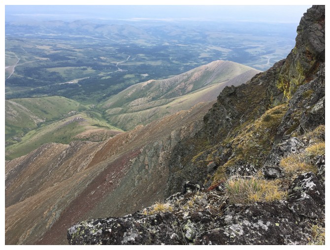
Looking down the north side of the mountain where Mark and I tried to get ascend on a snowy January Day
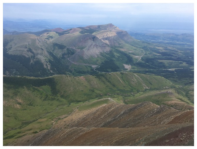
Another colourful beaut of The Castle - Prairie Bluff
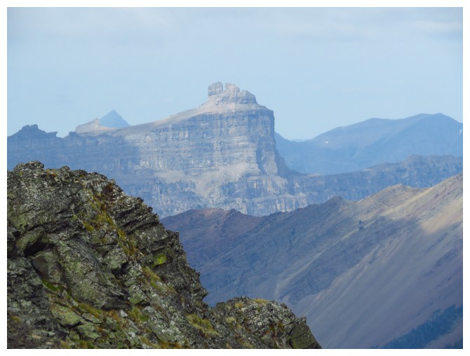
Victoria Peak doesn't look so colourful on this dreary day
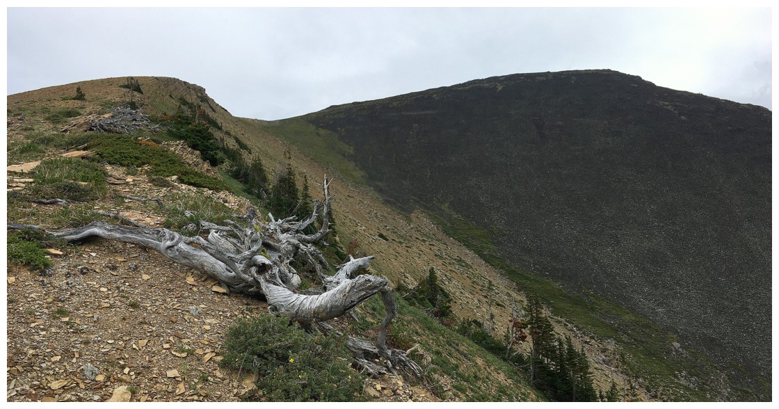
Looking down the exciting east ridge of Pincher
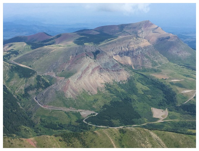
Closer look at Prairie Bluff
Closer look at Castle Peak
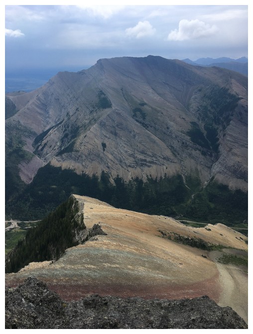
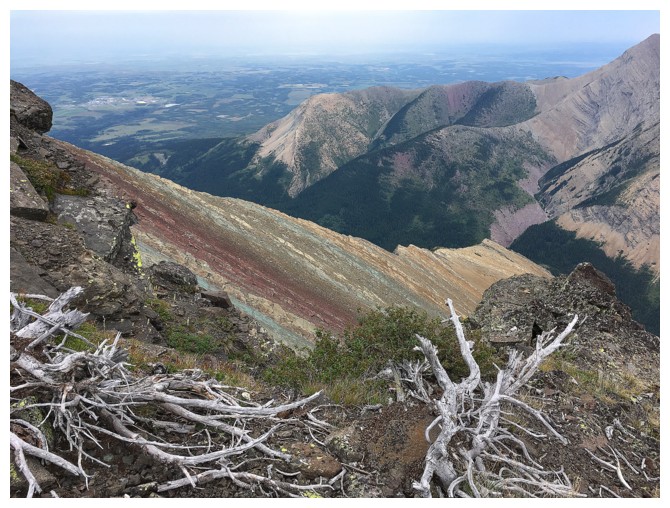
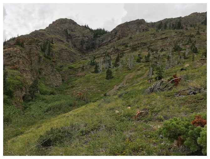
Looking down the striking south side of Pincher. Drywood 's northeast ridge is visible in the background.
Last look to the west
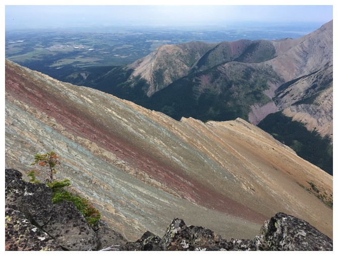
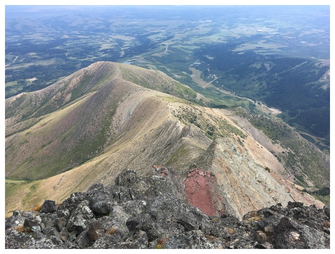
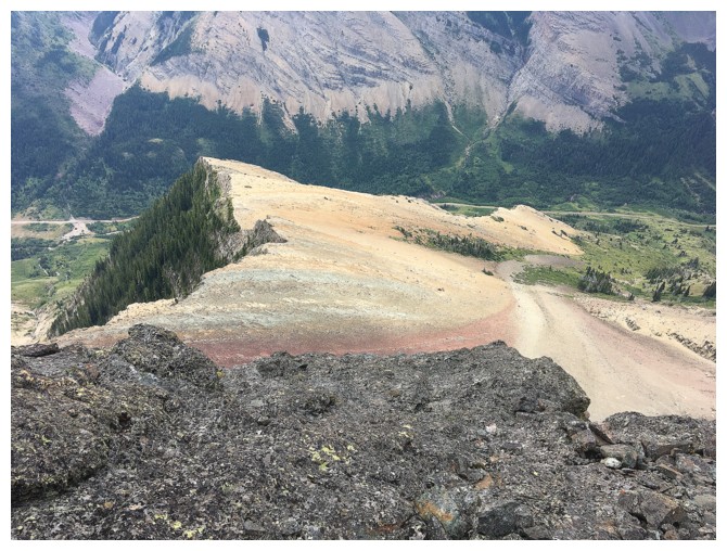
More striking, colourful layers of rock
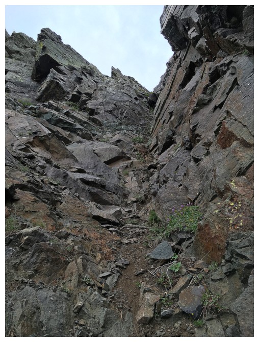
The gully I descended
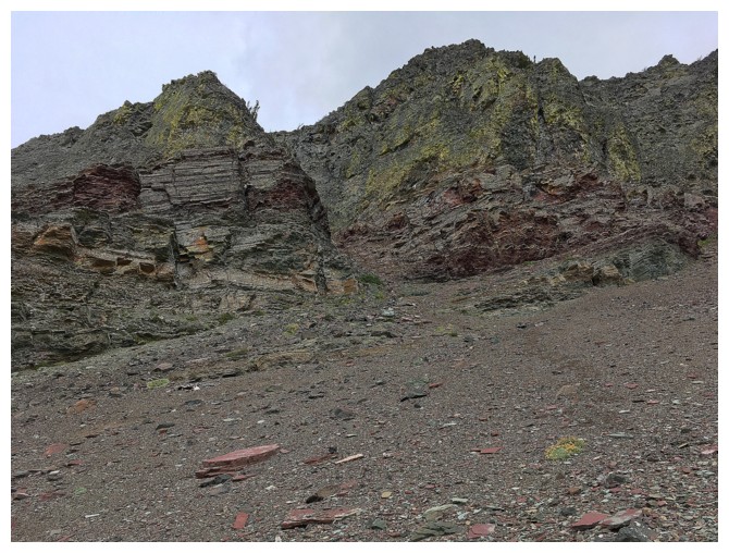
The gully lies between these two buttresses
Looking up the descent route
Same as above
Click HERE to see Part II of the trilogy
The End