Pinnacle
Mountain
attempt –
July 21, 2004
Mountain height: 3,067 m
(10,060 feet)
Roundtrip time: 10:25
Climbing with
Mark.
Following our
dismal Aster
Lake
trip, we desperately wanted to
redeem ourselves and the Grade II, 5.5 route up Pinnacle
Mountain
seemed like a reasonable
objective….and it was….until we actually had to start the climbing part!
Upon reaching Larch Valley, we started up the deceivingly long and grueling scree slope to the Eiffel/Pinnacle col. Stunning views of the colourful and rugged
walls of Eiffel and Pinnacle above us, helped to make the slog more enjoyable.
At a moderate pace, it took us 2.5 hours to reach the col from the parking lot.
The description's suggestion of 1.5-2 hours is a little optimistic.
At the col, we
met up with Ruth and Graham, who were also heading for the summit. We ended up
taking different routes – both would turn out to be the wrong way. Actually,
Mark and I started up the correct ascent gully right away, but then backed down
when I felt it was a little more than easy 5th class climbing. After
wasting another 45 minutes, looking for another route and then watching Graham
ascent a steep rockband to the left, we decided to ascend the gully to the
right of the original one. In the gully we could see a couple of rappel stations
and so at least we knew we could get down easily if it was the wrong way. It
took us forever to work our way to the top of the gully. The gully combined
moderate scrambling with some considerably more difficult climbing sections.
They were all short, but required a great deal of time and energy to ascend.
At the top of
the gully, we encountered a major rappel station, where it was obvious that many
people had given up and rappelled down. We ascended a scree slope, and started
up another steep gully before we came to an impasse. I thought that we should have
been in the next gully to the left, but after several failed attempts to find a
way over there, we had to give up and rappel all the way down.
It was
disappointing to have made some good progress and then to have been forced to turn
around, however, it was a good experience in a wonderful area and the trip gave
us some good motivation to return and try again.
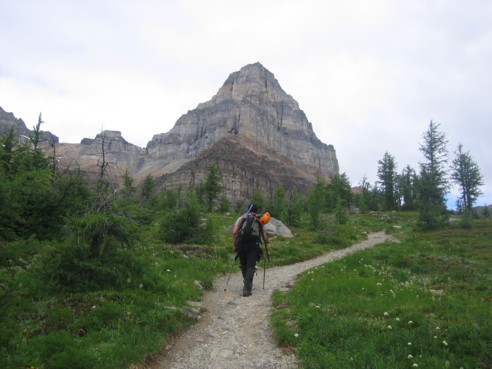
On the Larch Valley Trail, with Pinnacle
Mountain ahead
Eiffel Peak, as
seen from the ascent slope on the Eiffel/Pinnacle col
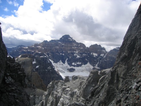
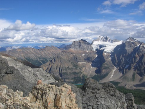
Looking back to Larch Valley, Morraine Lake,
and Mount Fay and the Fay Glacier
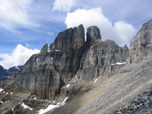
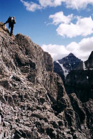
Pinnacle, as
seen from the Eiffel/Pinnacle col
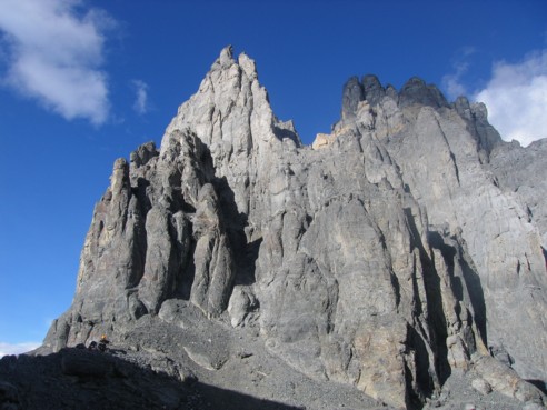
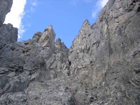
The correct ascent gully, but we took the
right-hand side instead of the left; judging by the enormous amount of rappel
slings along the way - a mistake that many people seem to have made
Mount Hungabee
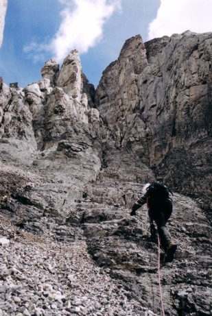
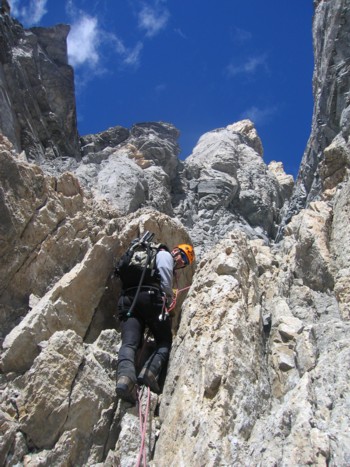
Ascending the wrong gully
Up higher, the different colours of the rock
was terrific
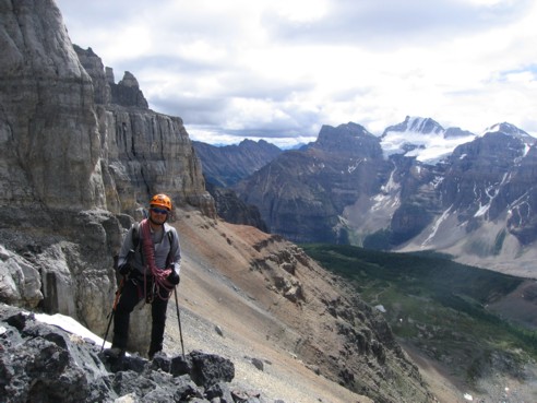
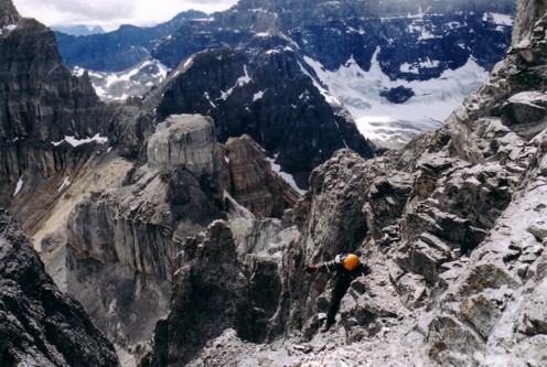
Investigating one last route before we
backed down; Mount Deltaform to the right
Another look towards Mount
Fay and company
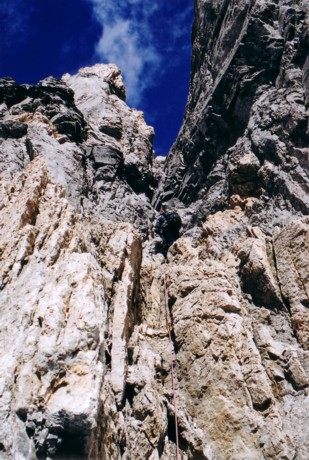
Bitter defeat! Mark rappelling the route
More of the rappel; Mark is the little black
dot in the centre