Pocaterra Ridge II
September
25, 2011
Mountain
height: 2670 m
Elevation gain:
approximately
570 m
Roundtrip time: 5:00
Solo
hike.
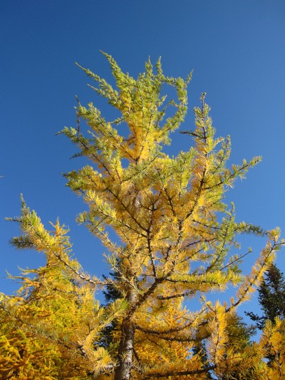
 Larch
season and rumour has it that Pocaterra Cirque is a good location to
see the trees
in their yellow state, as well as other autumn colours. The photos in
Gillean
Daffern’s wonderfully colourful new edition of the Kananaskis Country
Trail
Guide provided me with even more motivation to return to the cirque that
I had
already visited 5 times. Although many trip reports describe completing
a
traverse of the ridge from north to south, I decided a south to north
was more
logical for the day: it would put me in the cirque early in the day
when the
weather was forecast to be the best, allow me to gain the highpoint of
the trip
right away and then hike down the ridge, and the Sun would be in the
most
favourable positions throughout (going north to south meant hike into
the Sun
through most of the trip).
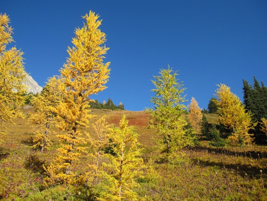
Larch
season and rumour has it that Pocaterra Cirque is a good location to
see the trees
in their yellow state, as well as other autumn colours. The photos in
Gillean
Daffern’s wonderfully colourful new edition of the Kananaskis Country
Trail
Guide provided me with even more motivation to return to the cirque that
I had
already visited 5 times. Although many trip reports describe completing
a
traverse of the ridge from north to south, I decided a south to north
was more
logical for the day: it would put me in the cirque early in the day
when the
weather was forecast to be the best, allow me to gain the highpoint of
the trip
right away and then hike down the ridge, and the Sun would be in the
most
favourable positions throughout (going north to south meant hike into
the Sun
through most of the trip).
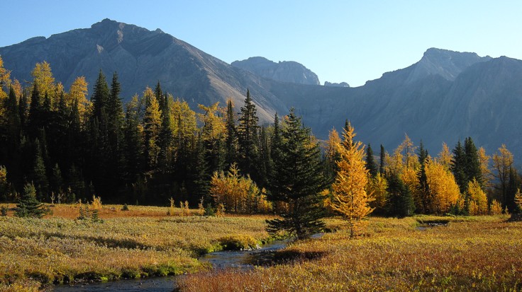
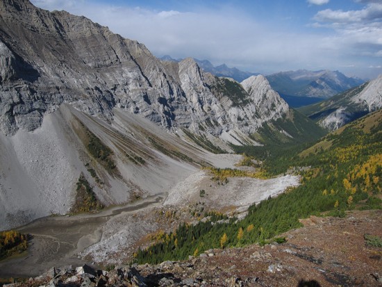
In
my enthusiasm to see the small tarn in the cirque, back-dropped by the
larches,
I left Calgary a little too early. I reached the tarn in short order to
find it
completely in shadow. 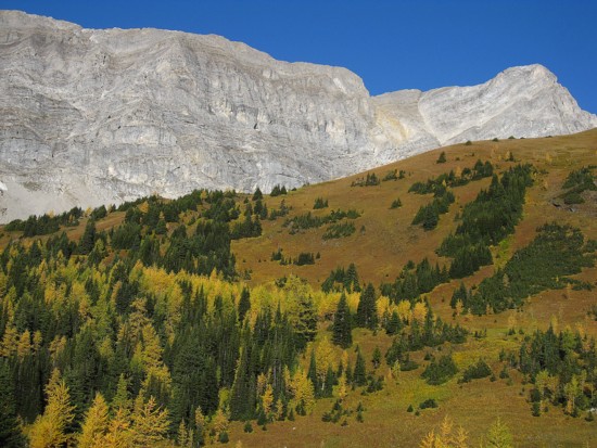 Waiting for the Sun to light up the scene would
have
required at least a 45 minute wait. Given the forecast deterioration of
the
weather in the afternoon, I decided against waiting and continued on.
Waiting for the Sun to light up the scene would
have
required at least a 45 minute wait. Given the forecast deterioration of
the
weather in the afternoon, I decided against waiting and continued on.
I
had to slow my pace considerably to allow for the Sun to rise over the
slopes
of Grizzly Ridge, but the wait was so worth it. Lit up in full sun and
without
a cloud in the sky, the upper cirque was absolutely brilliant – a
smorgasbord
of beautiful, contrasting colours: the wild variety of green and yellow
trees,
red grass, gray and brown rock, almost identical to that seen at Piper
Pass on
the Tombstone North trip, a pretty stream, and of course a pristine,
blue sky –
scenery and views that were second to none!
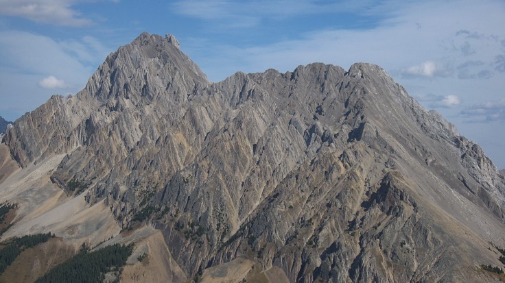
After
filling half my camera memory card with photos of the breath-taking
scenery I continued
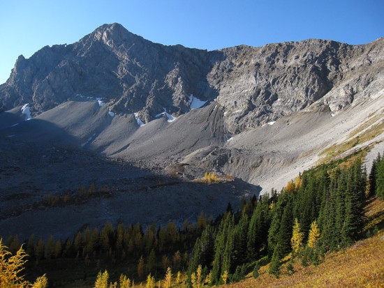
the trip to the summit of Pocaterra Ridge. Along the way, the scramble
route up
the east face of Mount Pocaterra became quite clear. Mark, Holland and
I had been
unable to locate the route earlier in the year.
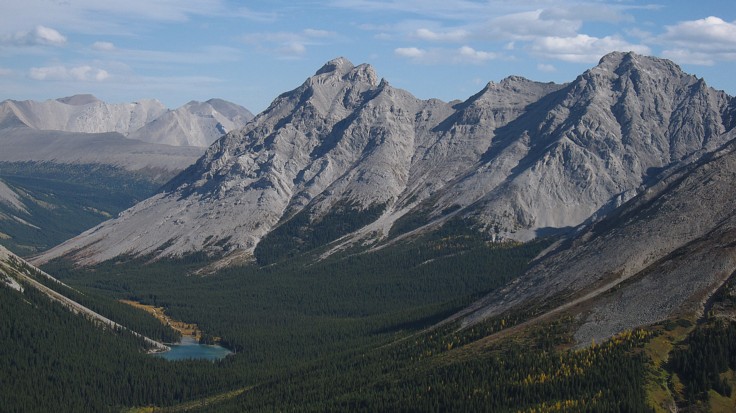
The
view from the summit of Pocaterra Ridge was excellent, though not quite
as
stunning as the scenery down below. Highlights included the steep, east
face of
Mount Pocaterra and the entire vista to the north.
Walking
the ridge, heading north, was a sheer delight – easy, stress-free
hiking with
great views throughout. Elpoca Mountain became increasingly more
prominent and impressive
with each step north, prompting a barrage of photos of the striking peak.
I
didn’t intend to complete the entire traverse, a 7 km uphill trudge
along the
road back to the Highwood Pass parking lot providing a significant a
deterrent.
Instead I just wanted to hike north until I felt satiated and then
descend east
to the road and hike back to the car. 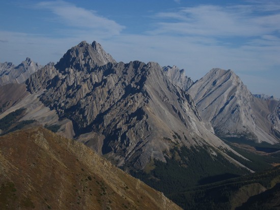 Daffern mentions four highpoints
along
the ridge and I was hoping to hit the highest three before bailing.
Daffern mentions four highpoints
along
the ridge and I was hoping to hit the highest three before bailing.
The
second highpoint (third if you are going north to south) was lower than
the
third, but well worth the minimal effort to get there. The larches in
the bowl
on the east side of the ridge were again beautiful and the west side of
Mount
Rae equally so. However, it was the third highpoint (second if you know
what!)
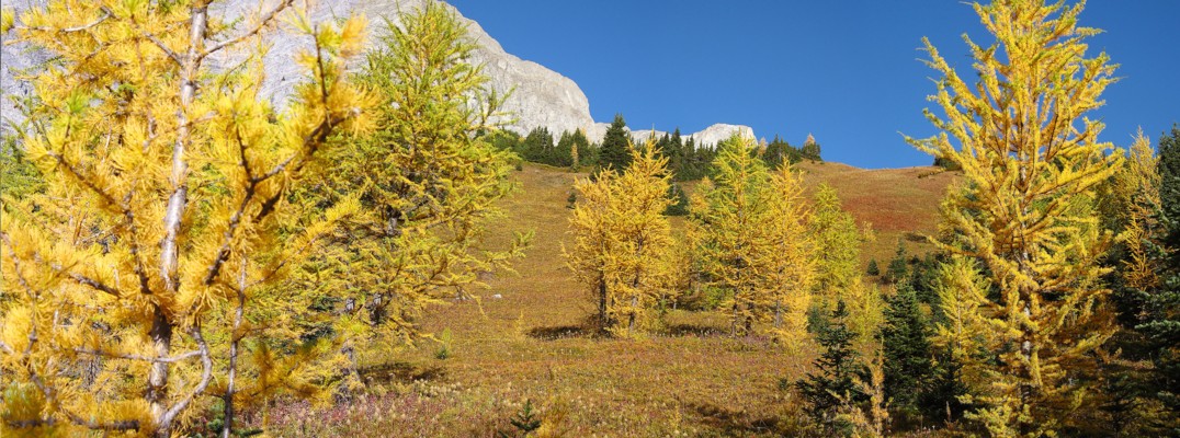
that took top honours for fantastic views. Here, a vast meadow of
yellow
larches sat on the connecting ridge to the fourth highpoint. Combined
with the
surrounding evergreens, terrific views of Gap Mountain, Elpoca Mountain
and
small, but colourful Elbow Lake, and a smattering of ominous clouds
above, this
was as satisfying as anything seen at the beginning of the trip.
A
short break to soak up the magnificent ambience and then I bailed down
the east
side of the ridge. At first this route was awesome, bombing down the
softest
scree imaginable. Unfortunately that pipe-dream was very short-lived
and the
remainder of the descent to the road for far more tedious. A 3.5 km
hike ended
a highly enjoyable and tremendously scenic day out.
But
it wasn’t quite over yet. Once back at my car I drove south a little
way down
Highwood 40 to get a few stellar views ofn the always outrageously colourful Storm
Mountain.
Overall,
definitely one of my most visually stunning days out ever. Three thumbs
up!
Bad timing!
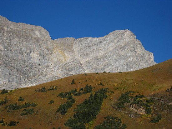
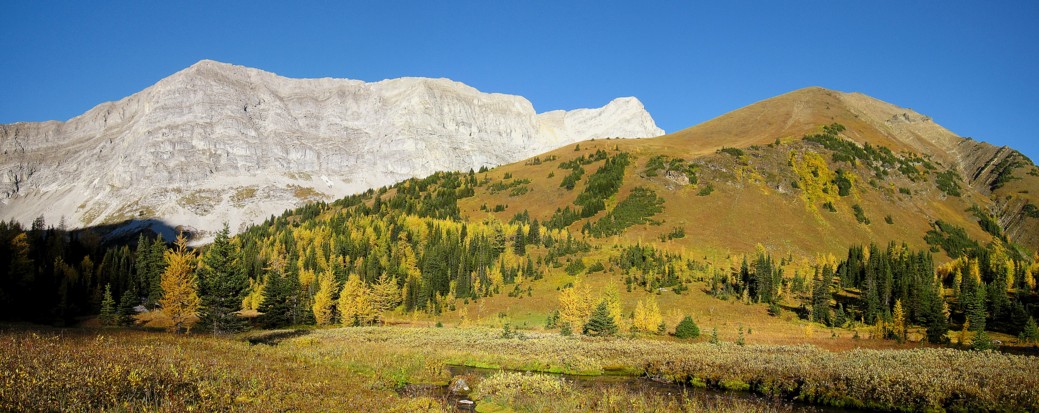
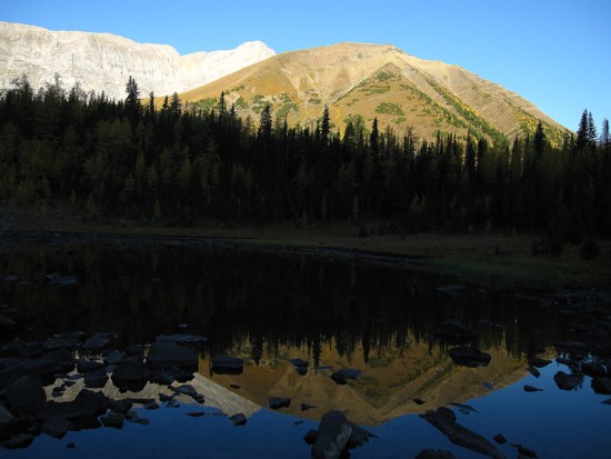
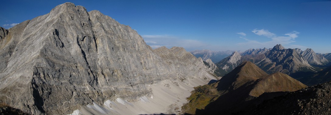
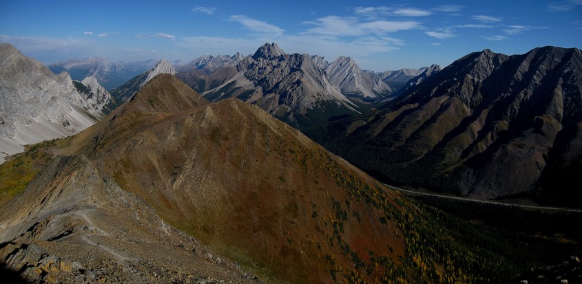
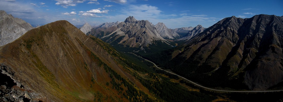
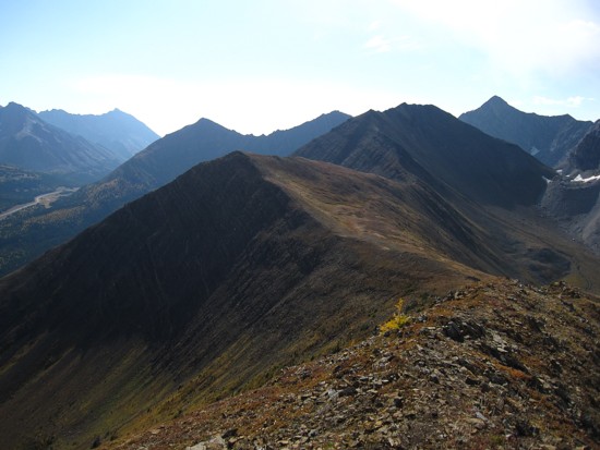
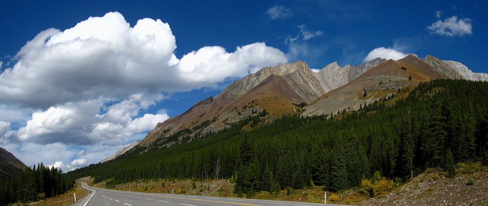
Mount Pocaterra (gray) and Pocaterra Ridge in the foreground
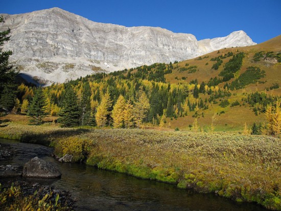
Same as above with the stream
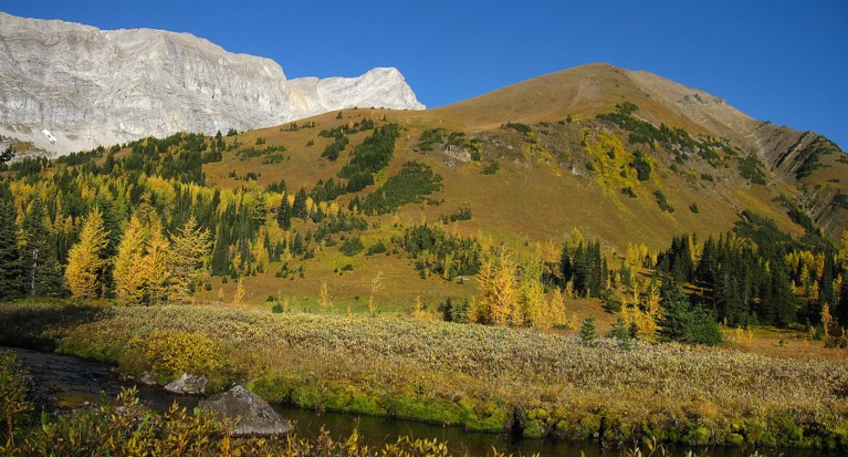
Same as above
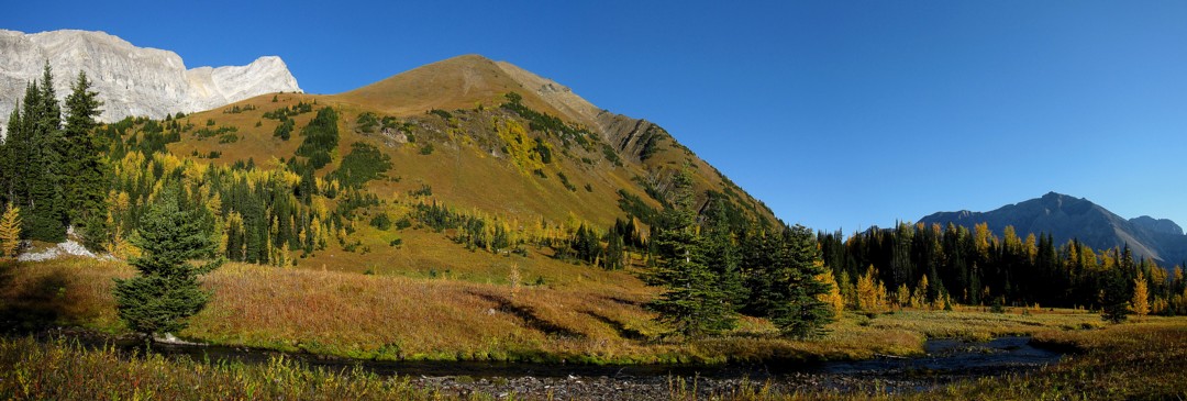
Looking east to the outliers of Mount Rae
Here come the larches
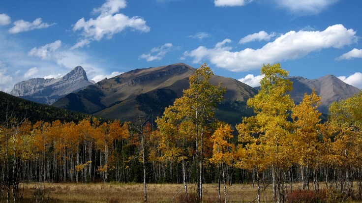
Mount Tyrwhitt
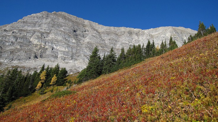
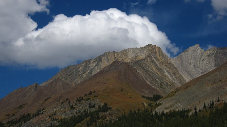
Pocaterra and the reds of autumn
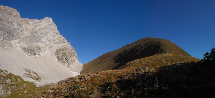
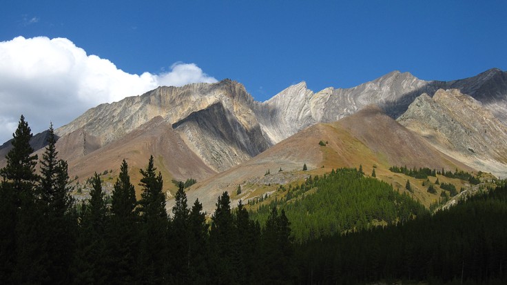
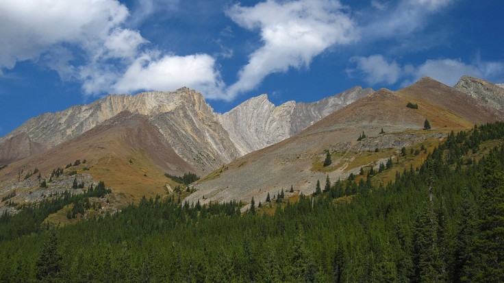
The clear deliniation of rock between Mount Pocaterra and Pocaterra Ridge
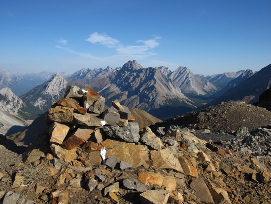
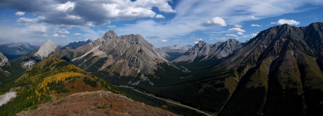
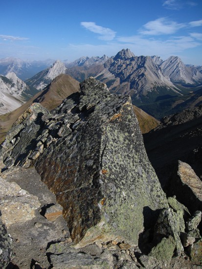
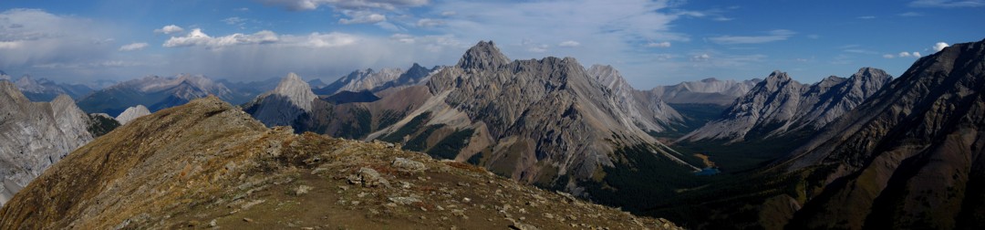
At the summit of Pocaterra Ridge, looking north
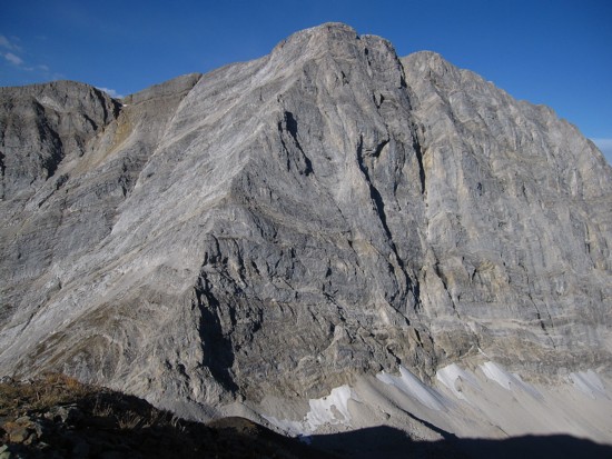
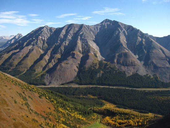
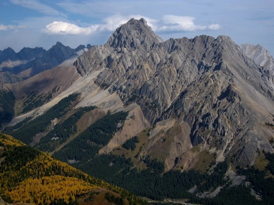
The east face of Mount Pocaterra
The summit view to the west and north
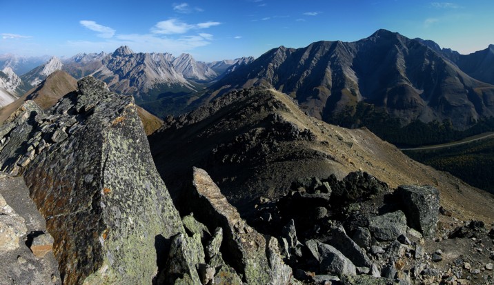
Mountains of the Opal Range to the north and Pocaterra Ridge in the foreground
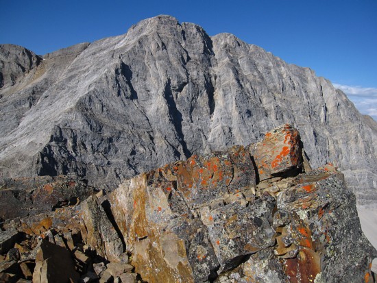
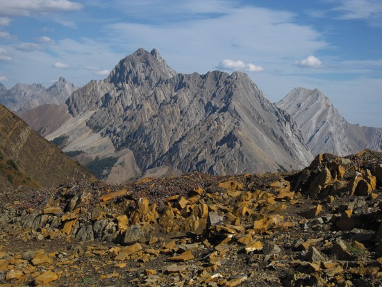
Some lichen covered rock and Pocaterra
A closer look
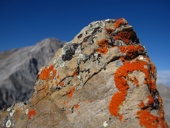
Interesting rock along the ridge
Same as above
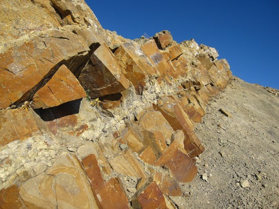
More varieties of rock on the ridge
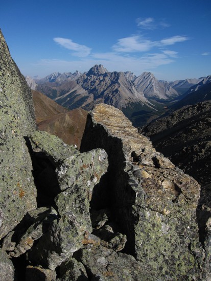
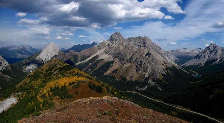
The view north just gets better and better
The west side of Mount Rae
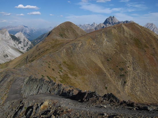
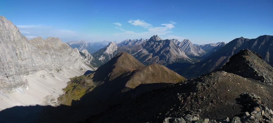
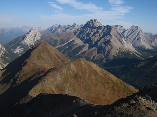
Highpoints number two and three
Looking southeast to Arethusa, Storm, and Mist
Another view north; the striking mountain in the centre is Elpoca
Tombstone South (left) and outliers of Banded Peak
Elpoca and the summit of highpoint two
The well-defined trail to highpoint three
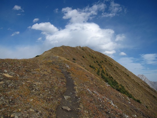
Looking back along the ridge
The view from highpoint three
Elpoca and the larch meadow
Same as above
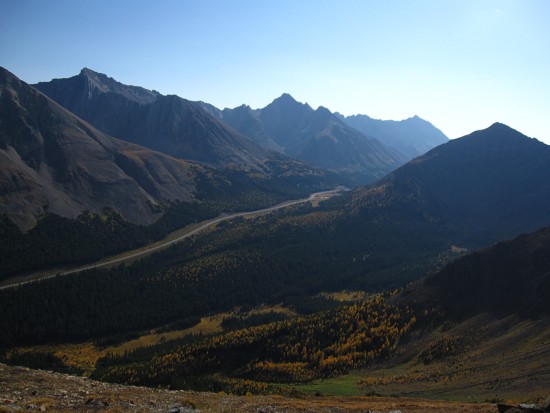
The valley on the west side of the Pocaterra Ridge
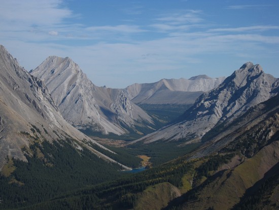
Elbow Lake and the northern outliers of Rae
The best view of Elpoca
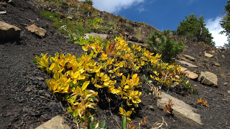
More autumn colurs on the descent slopes
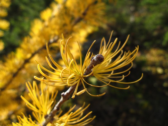
Larch needles
The colourful form of Storm Mountain
Same as above
Same as above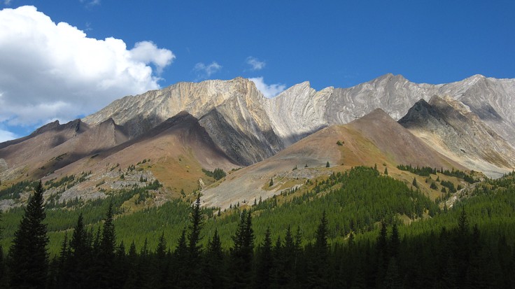
Same as above
Wind Mountain (left), Mount Allan, and yellowing aspens