June 27, 2010
Mountain height: 2999
m
Elevation gain: 1350
m
Ascent time:
6:50
Descent time: 3:30
Mountaineering with Mark.
Mark definitely was the hero for this trip.
 By sheer coincidence, we set off to
attempt
By sheer coincidence, we set off to
attempt
With an evening of head-banging at
the Iron Maiden concert
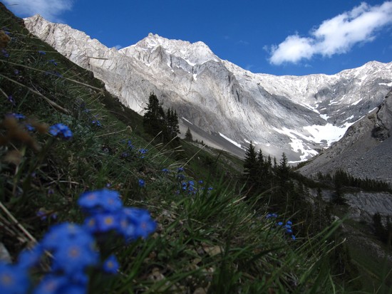
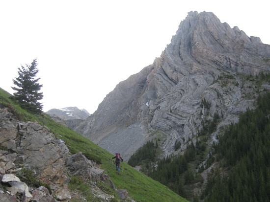
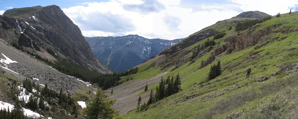
slated for later in the day, we left 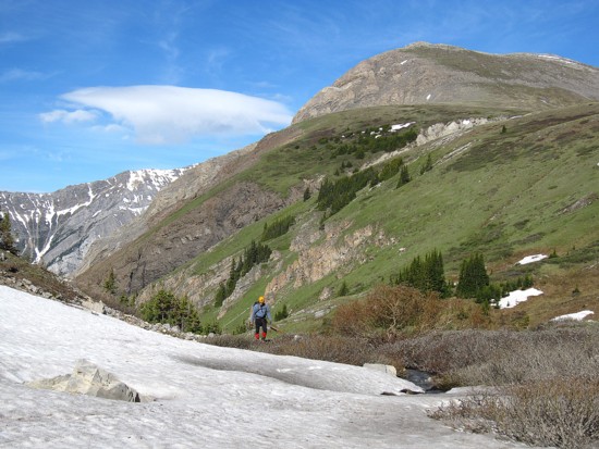 The V-shaped valley is lined on
both
sides with phenomenal examples of rock folding and erosion on the north
side of
The V-shaped valley is lined on
both
sides with phenomenal examples of rock folding and erosion on the north
side of
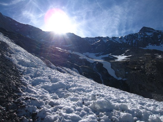
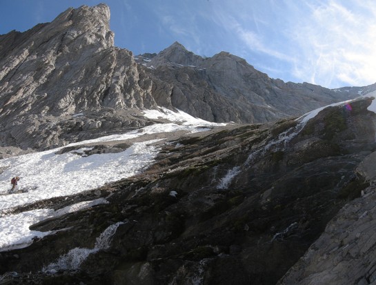
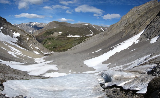
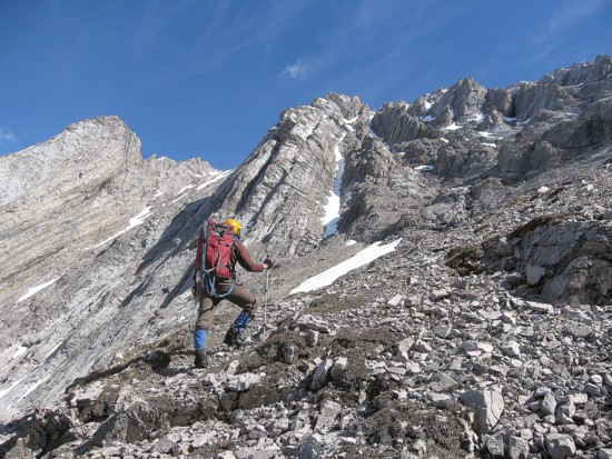
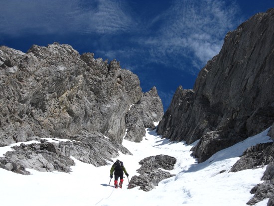
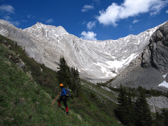
Deeper into the valley the grassy slopes gave way to snowy ones, yielding some equally rewarding scenery. We soon found the beautiful snow-filled gully that I thought was the correct ascent route and started up. Mark, who is way more confident than I on steep snow, led the ascent from here. With crampons, the snow gully was relatively easy to ascend (easy for me to say – I was simply following in Mark’s tracks!). It reared up to about 45 degrees for a very short section, but was otherwise around the 30-35 degree mark. However, the gully was deceivingly long, requiring a fair amount of time and energy to ascend. Thankfully the limited views along the way were fantastic. Mark took us a solid 300 vertical metres up this gully to the ridge, where we hoped the summit would be a short and easily traversed distance to the north.
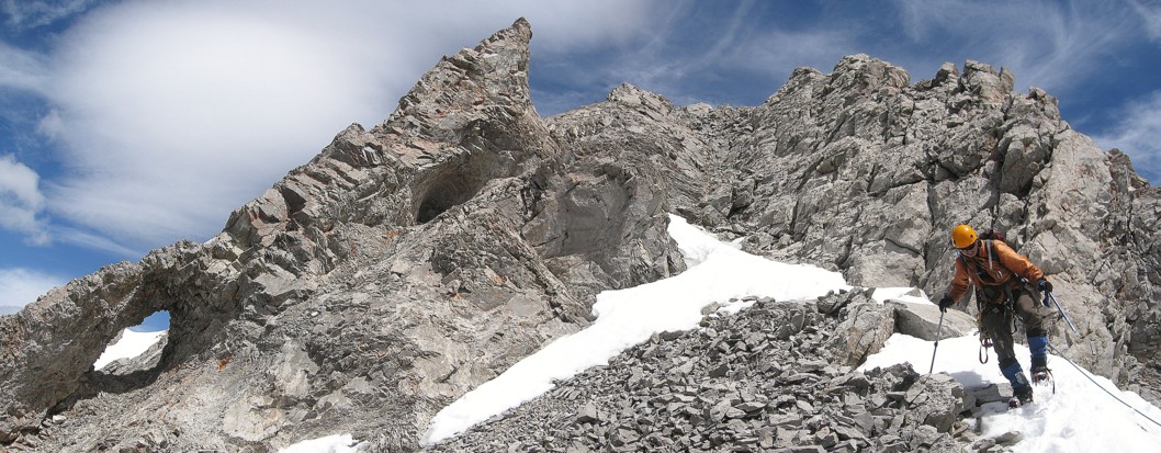
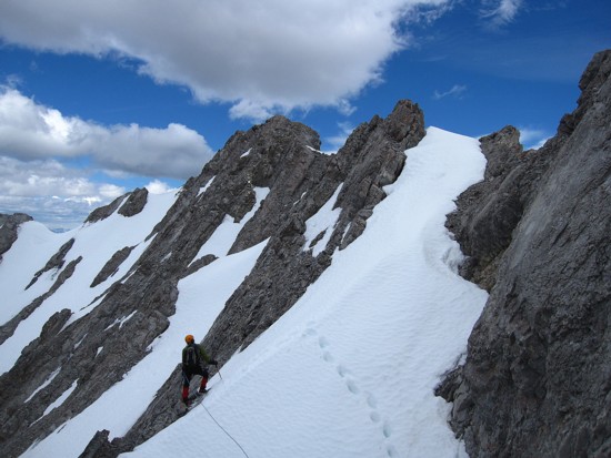
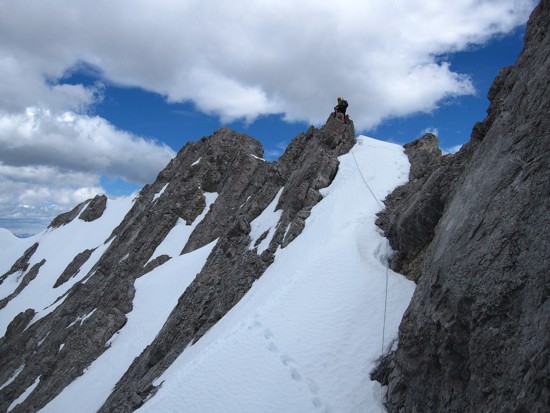
The distance was definitely short (no more than 150 horizontal metres), but the traverse far from easy. Between us and the summit there lay a crumbling, narrow ridge, with cheese-grater slopes on the left and a sheer drop on the right. Once again Mark stepped up to the plate and led us both safely to the summit. A couple of short sections were narrow enough to require bum-shuffling across, but there were good belay points for each.
Unfortunately, the weather had
deteriorated somewhat during
the latter portion of the ascent, but the summit view was still
impressive. 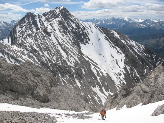 The
double summit of Mount Denny to the north brought back some good
memories of that
ascent with Mark, Dan, and Troy; snow-topped Fisher Peak to the east was very
impressive; several 11,000 er’s were visible to the
northwest, west, and southwest
and would have been gorgeous under clear skies; needless to say, 3097 m
Mount
Evan-Thomas immediately south was the most prominent peak in the vista.
The
double summit of Mount Denny to the north brought back some good
memories of that
ascent with Mark, Dan, and Troy; snow-topped Fisher Peak to the east was very
impressive; several 11,000 er’s were visible to the
northwest, west, and southwest
and would have been gorgeous under clear skies; needless to say, 3097 m
Mount
Evan-Thomas immediately south was the most prominent peak in the vista.
We didn’t stay too long at the summit, as the almost 7 hour ascent time was far longer than expected and I was pretty sure Iron Maiden weren’t going to wait for me to arrive before embarking on the evening’s METAL ONSLAUGHT. To our delight descending the snow gully was amazingly fast. I thought we would have to “face in” for the descent, but the soft snow was easy to plunge-step down “facing out”. The remainder of the descent was likewise easy, although we were both quite tired – Mark more so than me, given that he had broken trail up the entire snow gully on ascent. We were both pleasantly surprised to complete the descent in only about half the ascent time.
An extremely rewarding day on an obscure, but totally cool mountain.
But more importantly, how was Maiden? As expected, they kicked ass! 32 years of delivering some of the best teeth-griding, head-banging, fist thumping metal in music and they haven’t lost a single step – Bruce Dickinson and Steve Harris terrorizing the stage as if they were still teenagers.
A kick ass mountain followed by a kick ass concert!
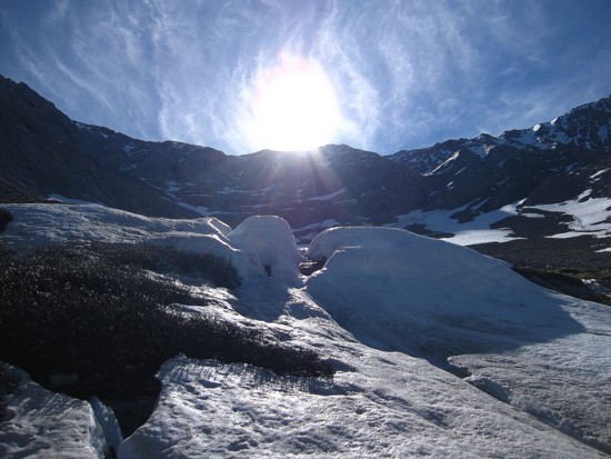
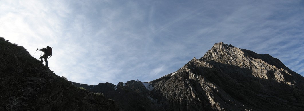
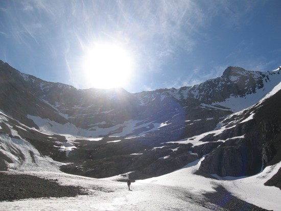
Early morning clouds and silhouettes
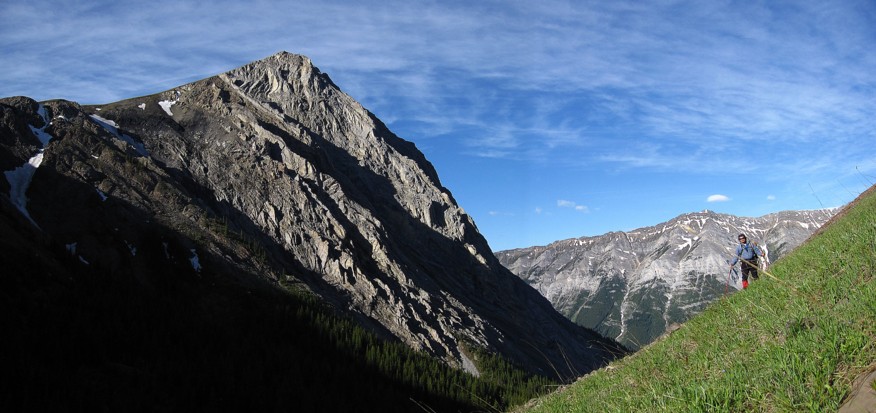
Side-sloping towards the valley; Grizzly Peak to the right
Interesting rock on the south end of Opal Ridge
Same as above
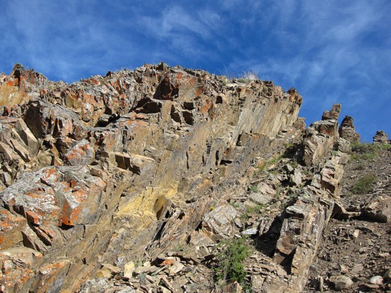
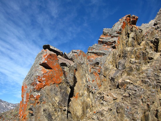
Red lichen always makes the rock look great
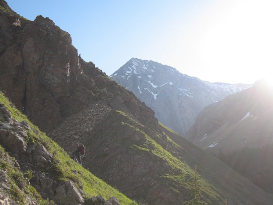
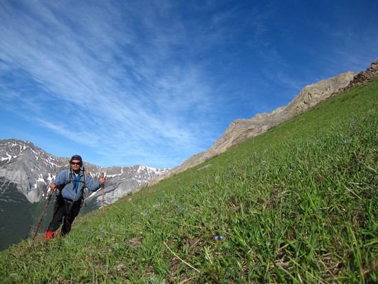
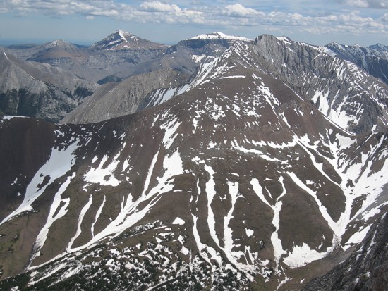
More side-sloping; Mount Potts in the centre
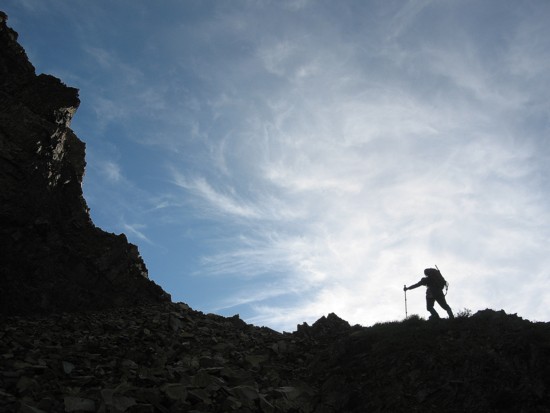
More silhouettes, wispy clouds and Grizzly
Another angle

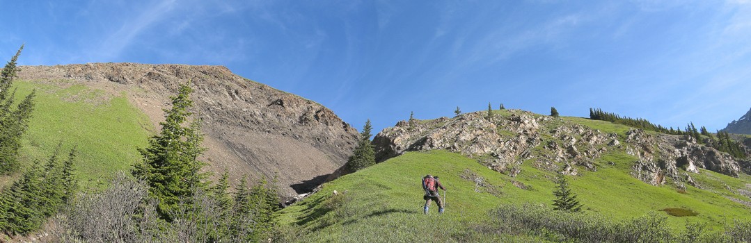
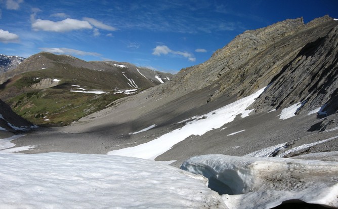
The outstanding environs of the Grizzly Creek valley
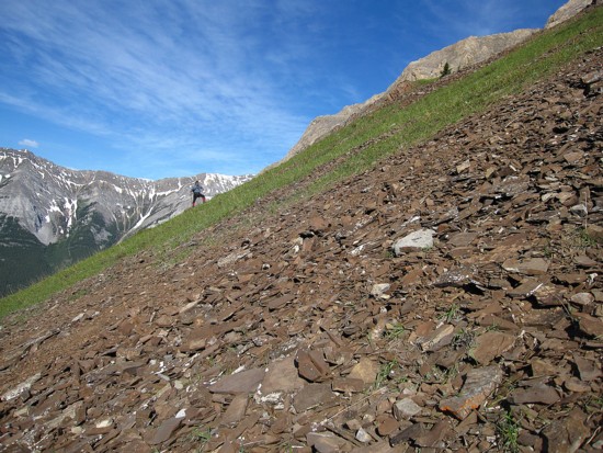
More side-sloping
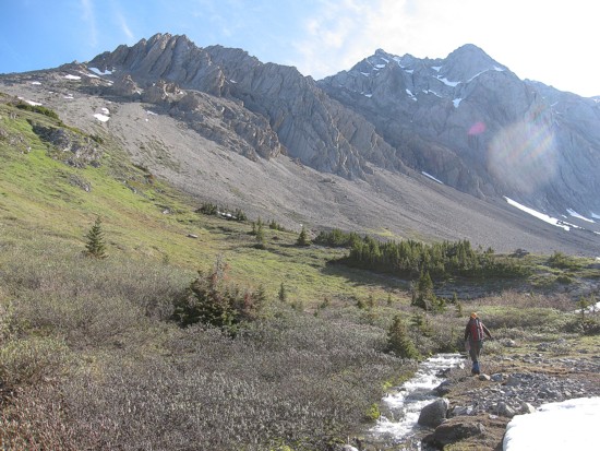
Down at the creek, with Potts ahead
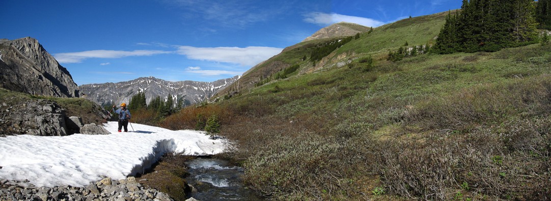
More fantastic scenery
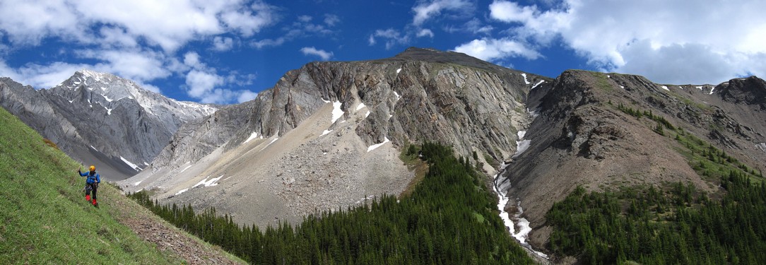
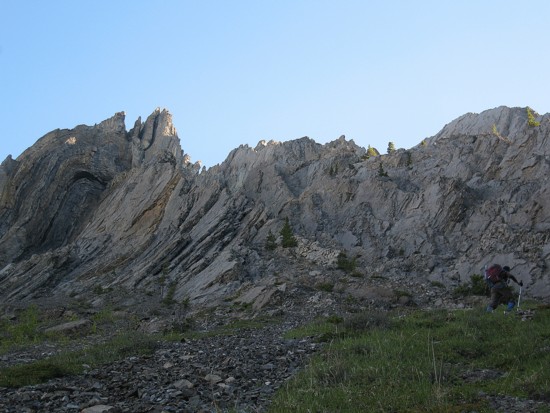
Mark on the left and the southern highpoint of Opal Ridge in the centre
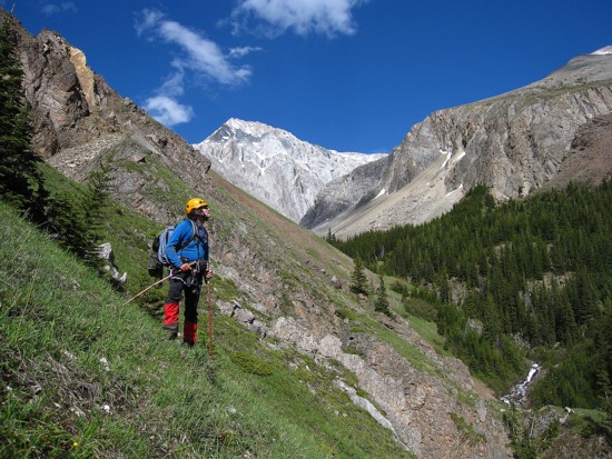
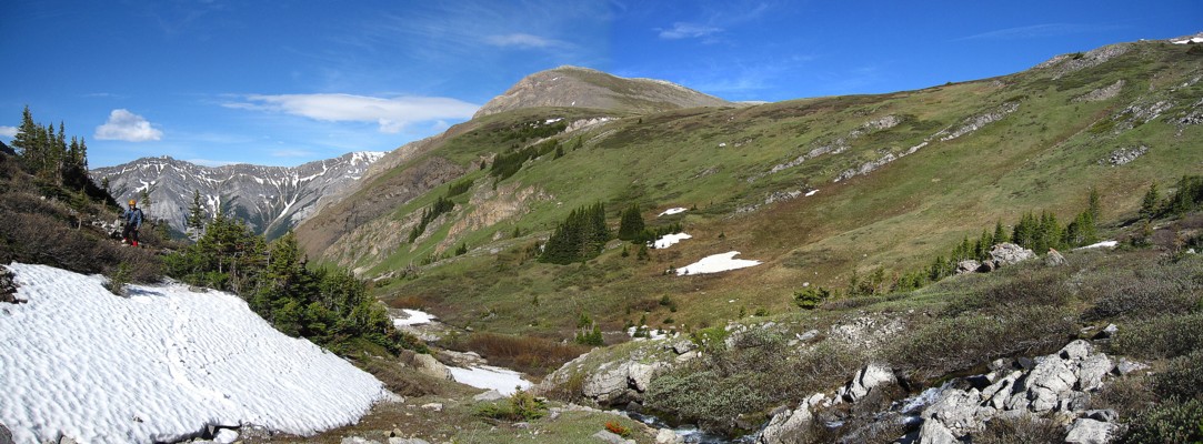
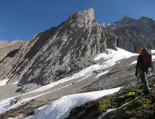
Grass gives way to snow and rock; Evan-Thomas at the right
The northwest side of Evan-Thomas
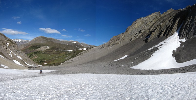
Hiking up avalanche debris
Looking back
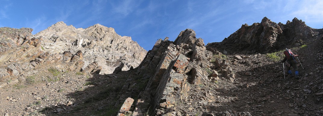
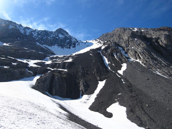
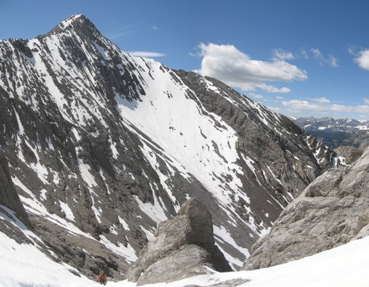
The beautiful strata of Potts' west ridge (NOT the recommended route - read Rick Collier's trip report on Bivouac )
More wispy clouds make for some very interesting scenery
Same as above
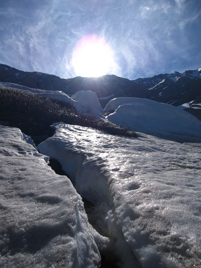
Snowmelt streams run down the west face of Potts; by the end of the day this streams was an absolute torrent of water
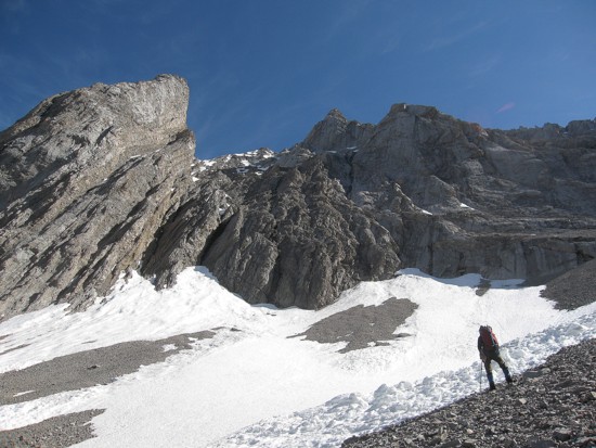
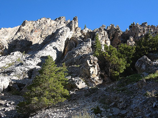
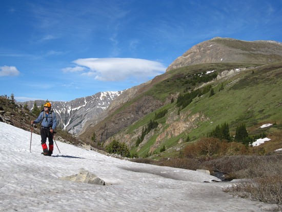
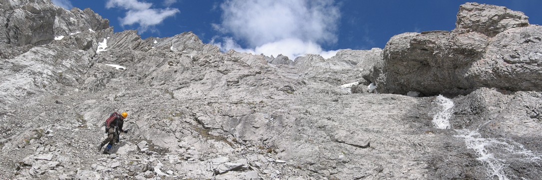
Looking for other potential routes
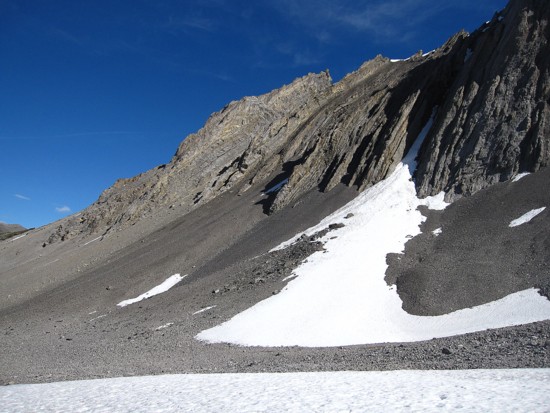
Found one! We went up the gully to the right of the snow gully
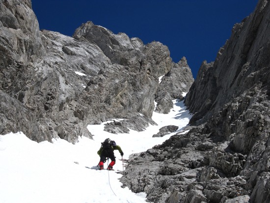
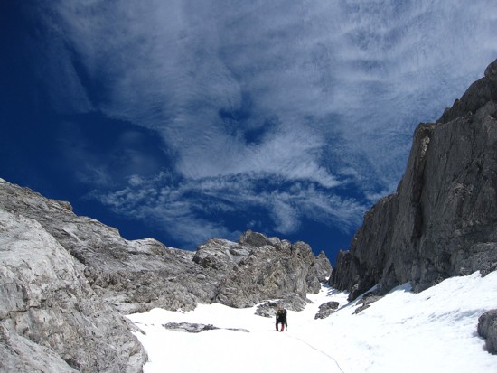
Mark leads the snow gully
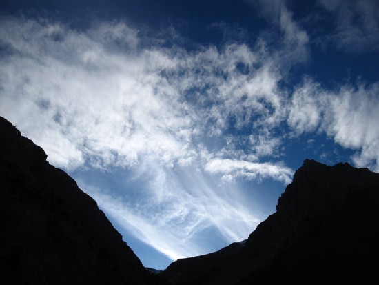
More fascinating clouds
Same as above
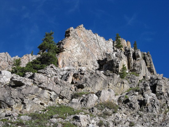
Evan-Thomas
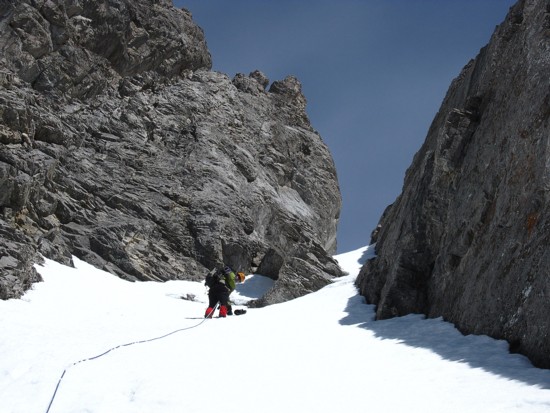
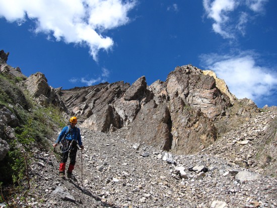
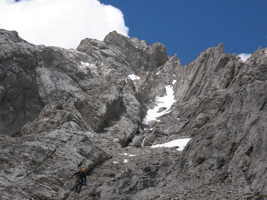
Mark prepares to ascend the crux of the gully;
contrary to appearance the angle is about 45 degrees where the gully narrows
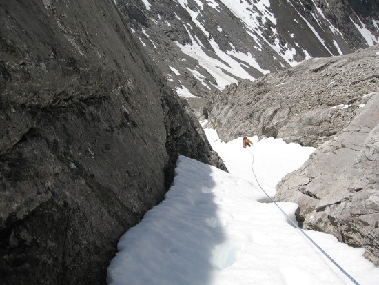
Looking down the gully
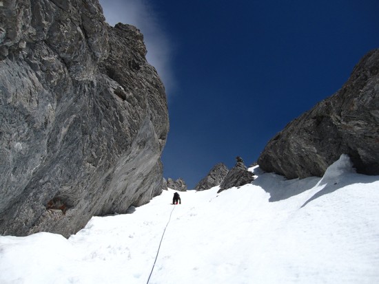
The upper section
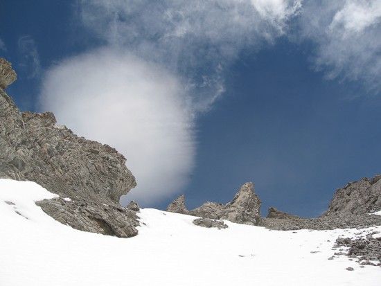
A bizzare cloud
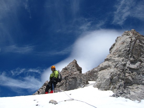
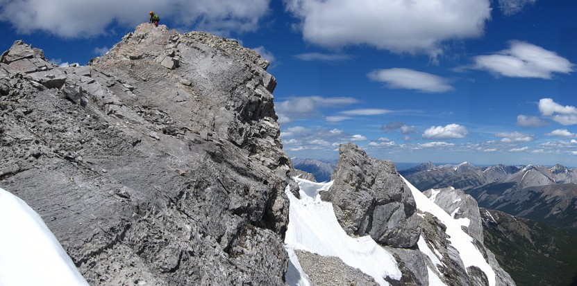
Mark reaches the ridge
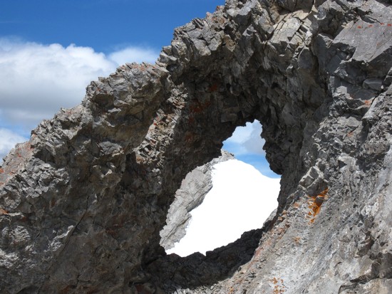
A window
Going the wrong way; the route goes up up the centre
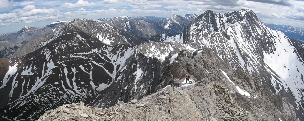
Mark decides whether to traverse below the ridge or on it
Decision made - we'll go across the ridge
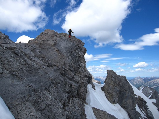
Mark leads the ridge on fairly exposed terrain
Mark prepares to belay me across the ridge
Checking out the view before the down-climbing crux of the ridge
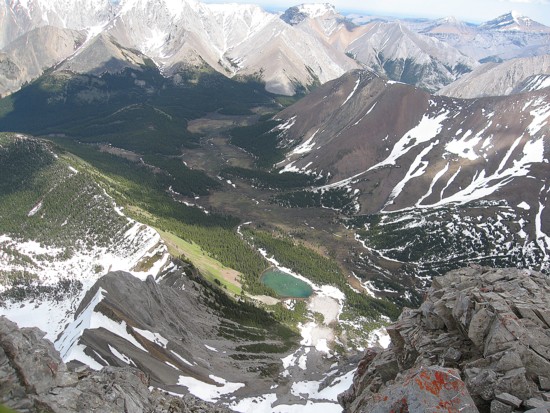
An unnamed tarn to the east
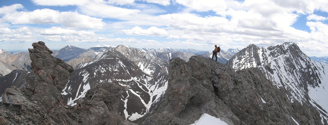
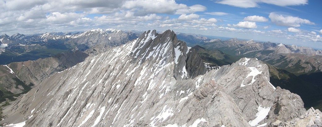
The ridge and the view to the south
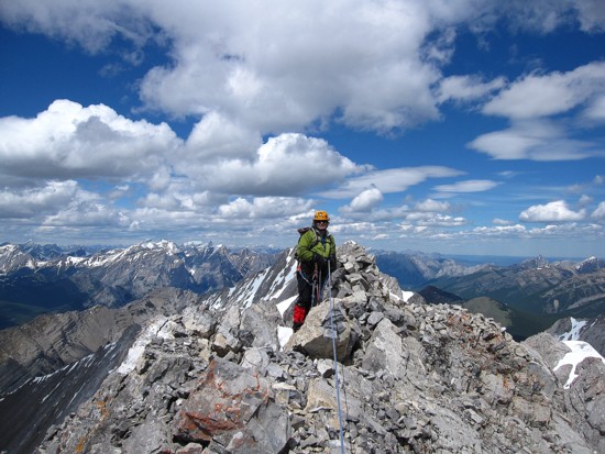
Mark at the summit
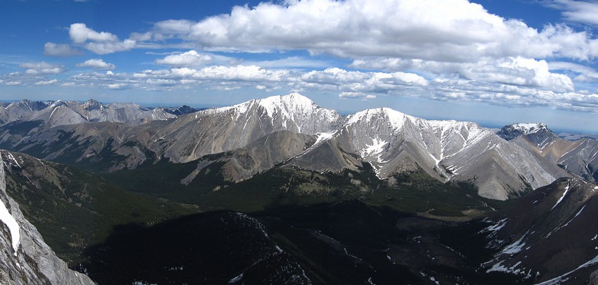
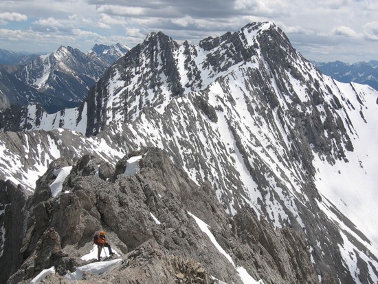
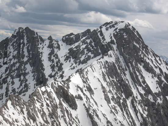
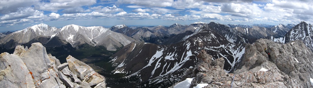
The view to the northeast; Fisher Peak dominates, with Mount Romulus at the far right
The double summits of Mount Denny to the north
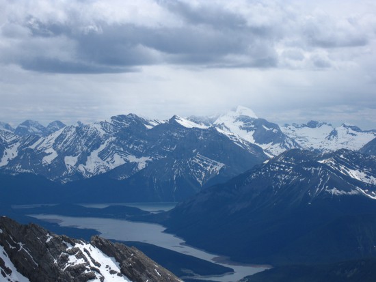
The Kananaskis Lakes and surrounding mountains; Joffre is just right of centre
The view towards Elbow Valley
The connecting ridge to Evan-Thomas and the peak itself
Another partial pano; Mark is just getting ready to upclimb the crux downclimb
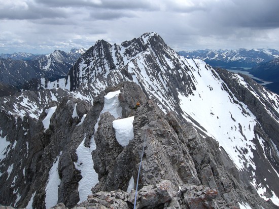
The narrow section of the ridge
At the bottom of the ascent gully
Hiking out
Looking back at Potts