Solo scramble.
Fresh
off a thoroughly enjoyable (and at times exhilarating) ascent of
 At
3000 metres,
At
3000 metres,
 This
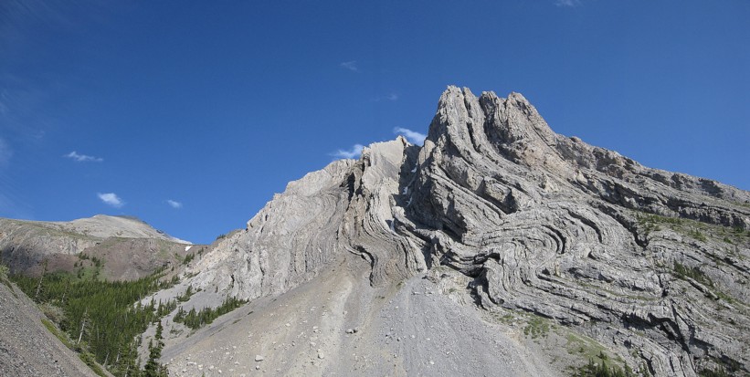
was the third time I had hiked up Grizzly Creek and it still has yet to
lose
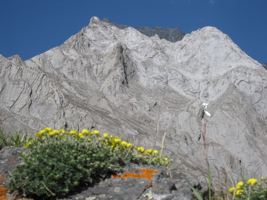
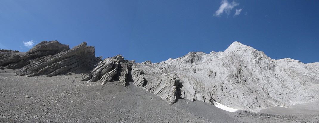
its charm and splendor. The striking, folded strata and jagged outcrops
of rock
on
This
was the third time I had hiked up Grizzly Creek and it still has yet to
lose
its charm and splendor. The striking, folded strata and jagged outcrops
of rock
on
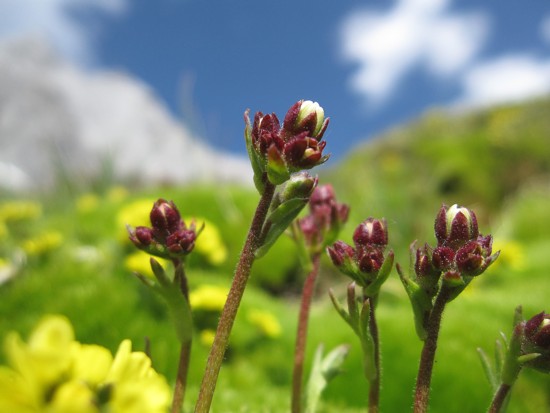
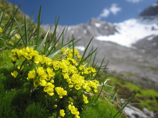
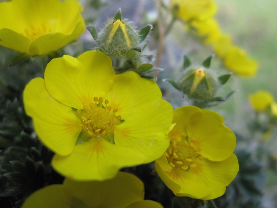
Following the stream that bisects the valley, I came across a large patch of bright green moss. I spent the next 20 minutes there, experimenting with the Macro feature on my camera, having recently seen some fantastic photos on Marko Starvic’s website. My photos were, for the most part complete duds, but it was fun trying.
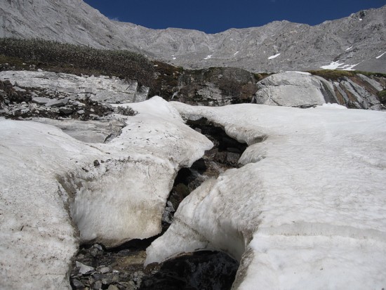
The search for the correct ascent gully then began and unfortunately it was a futile one. There were several gullies that appeared to offer access to the summit ridge, but all were choked with snow and looked to be quite steep higher up. I had crampons and an ice axe, but didn’t feel comfortable trying any of the gullies by myself.
Instead,
I made my way up to Evan-Thomas/Potts col. I knew from the Green book
that I
wasn’t going to be able to get to the summit via this route,
but I 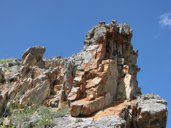 at least
wanted to see the view to the east. This part of the ascent was not
without its
difficulties. The terrain was deceivingly steep and I climbed two sections that
I thought would be problematic downclimbing in boots (a good reason to
stick
rock shoes in your pack).
at least
wanted to see the view to the east. This part of the ascent was not
without its
difficulties. The terrain was deceivingly steep and I climbed two sections that
I thought would be problematic downclimbing in boots (a good reason to
stick
rock shoes in your pack).
The
view to the east from the col was excellent, especially the west side
of
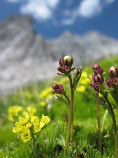
On descent I did try again to find the correct gully and even started up one, but backed down in short order. Returning to the cirque, I came across more beautiful terrain and scenery (flowers) and once again took a million and a half Macro photos with limited success. Even so, the photo-taking unexpectedly turned out to be one of the most enjoyable aspects of the trip. It certainly increased my appreciation for the incredible minute details of nature (scramblers do tend to concern themselves primarily with big, grandiose mountain and glacier scenery). This pattern of stopping to take an enormous amount of photos continued throughout the descent. With the sun now in a better position, the colourful scenery was phenomenal.
Another summit-less, but unforgettable day in the stunningly beautiful Canadian Rockies.
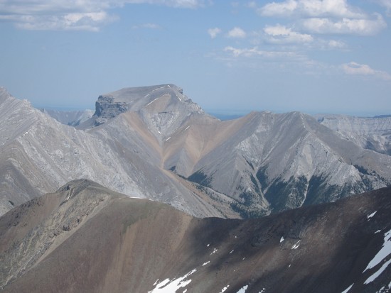
Mount Potts
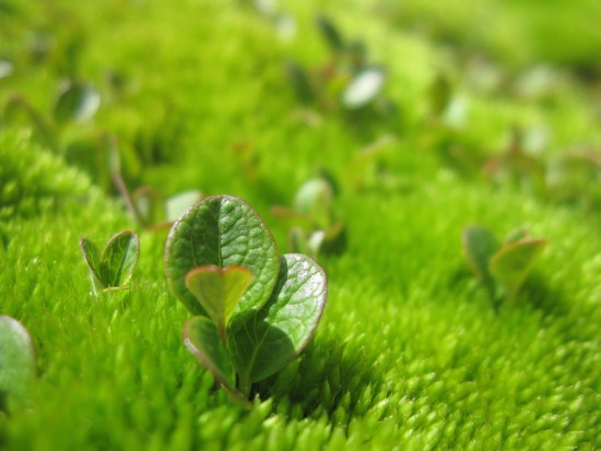
Experimenting with the macro feature
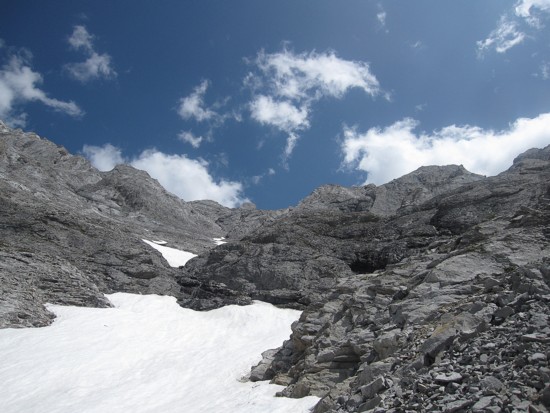
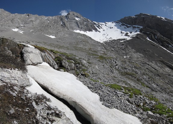
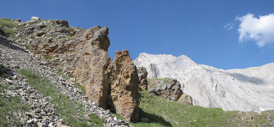
Typical terrain to the Evan-Thomas/Potts col
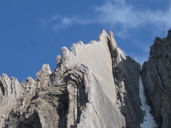
Mount Romulus
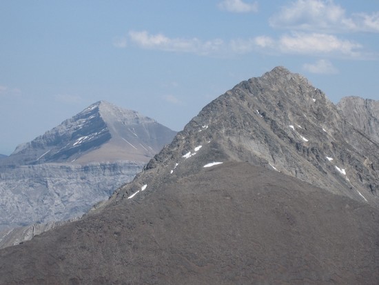
Unnamed peaks (right), Romulus (left)
Glasgow (left) and unnamed
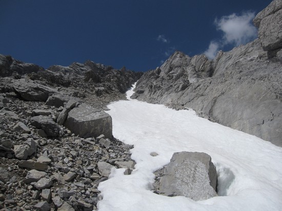
The gully I started to ascend
More macro stuff
Same as above
Looking back to Evan-Thomas
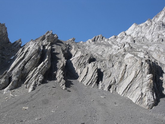
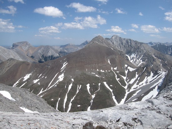
Some of the neat strata of Potts and practically all of the Opal Range peaks
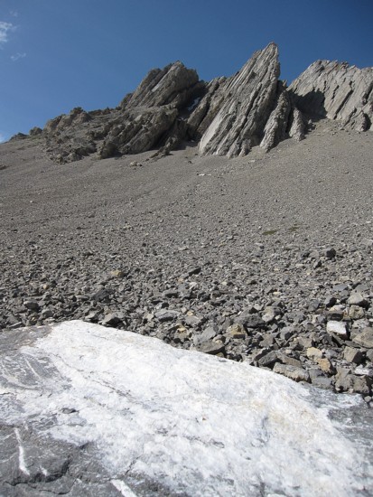
Same as above, with a big rock covered in white stuff (a type of quartz, I think)
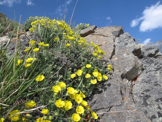
Yellow flowers
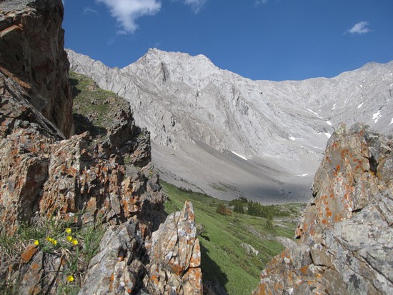
Looking back to the cirque below Potts (left) and Evan-Thomas (right)
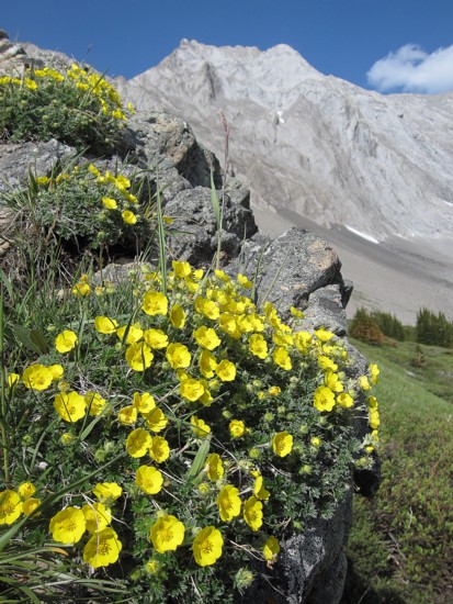
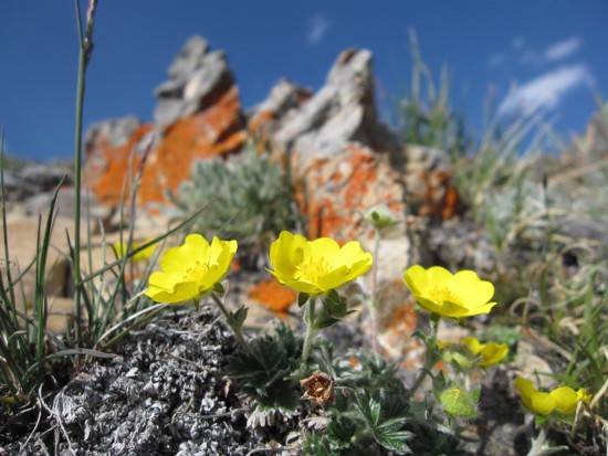
More yellow flowers and Potts
More flowers
Potts again
Same as above, with some lichen-covered rock
More macro
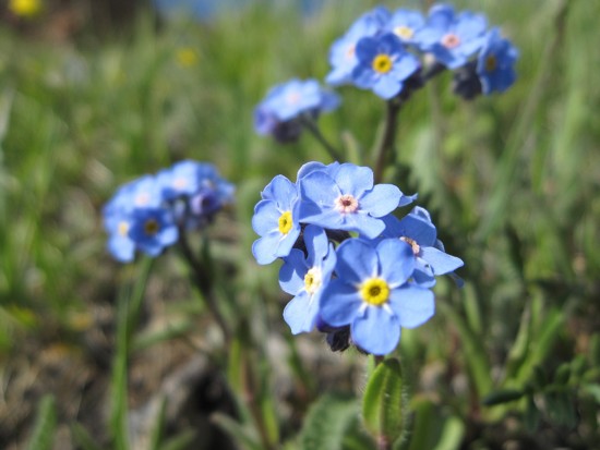
Blue flowers
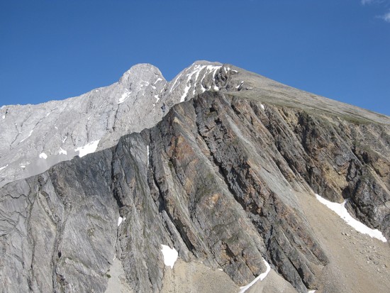
Mount Evan-Thomas
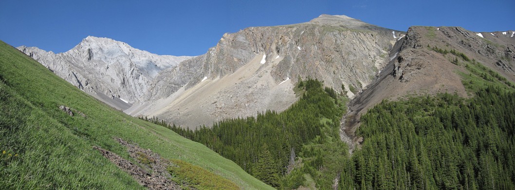
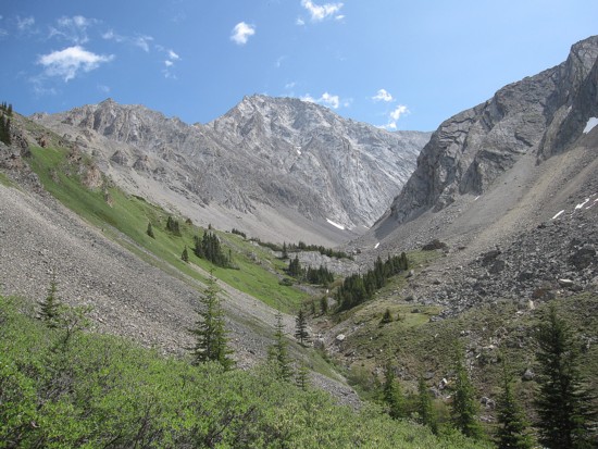
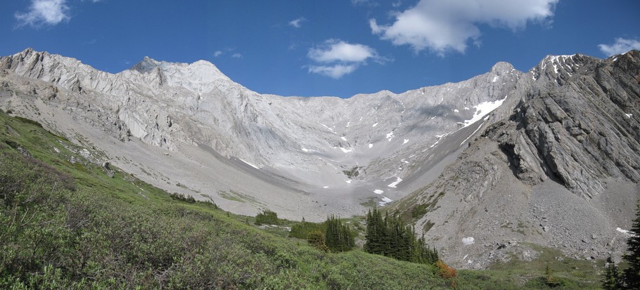
The gorgeous valley
The northwest side of Grizzly Peak